Redclues Cleugh
Valley in Berwickshire
Scotland
Redclues Cleugh
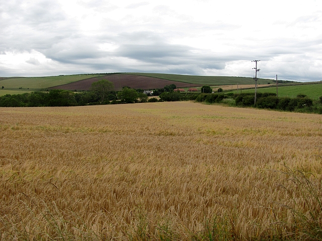
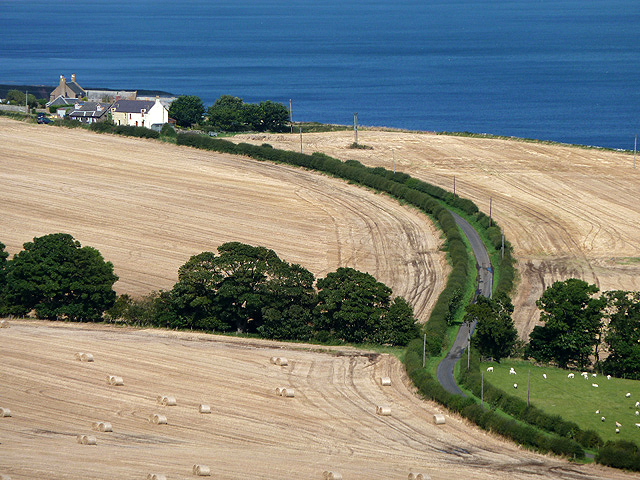
Redclues Cleugh, located in Berwickshire, Scotland, is a picturesque valley renowned for its natural beauty and historical significance. Nestled between rolling hills and bordered by the River Whiteadder, this valley offers a tranquil retreat for visitors seeking a peaceful escape.
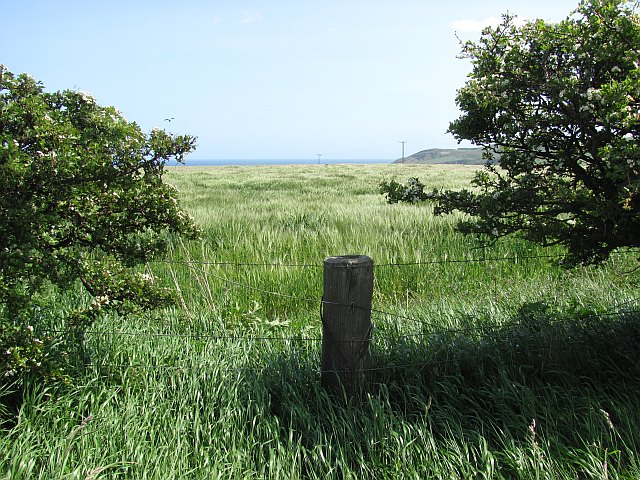
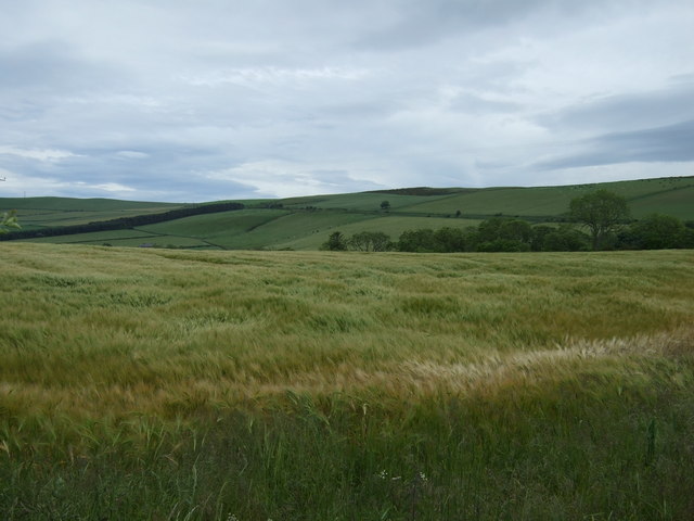
The valley is characterized by its lush green meadows, woodland areas, and a gentle flowing stream that adds to its charm. It is home to a diverse range of flora and fauna, including wildflowers, birds, and small mammals. The landscape is particularly breathtaking during the spring and summer months when the valley is blanketed with vibrant colors.
Redclues Cleugh is not only visually stunning but also holds historical importance. It has been inhabited since ancient times, with evidence of Iron Age settlements and Bronze Age burial sites in the vicinity. The valley also played a role in the border conflicts between England and Scotland during the medieval period, with remnants of defensive structures and fortifications still visible today.
The area is a popular destination for outdoor enthusiasts and nature lovers. Hiking trails wind their way through the valley, offering opportunities for leisurely walks or more adventurous treks. The river provides excellent fishing spots, attracting anglers looking to catch trout or salmon.
Visitors to Redclues Cleugh can enjoy the serenity of the countryside, breathe in the fresh air, and immerse themselves in the natural wonders that this valley has to offer. With its rich history and captivating landscapes, Redclues Cleugh is a hidden gem waiting to be explored.
If you have any feedback on the listing, please let us know in the comments section below.
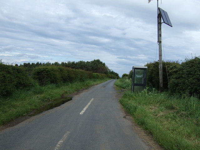
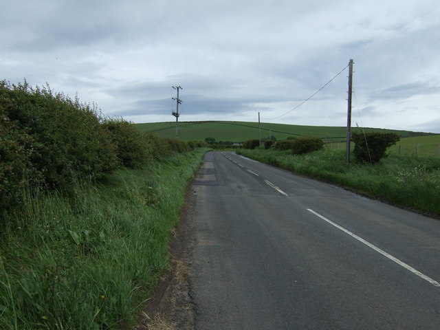
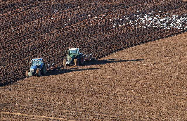
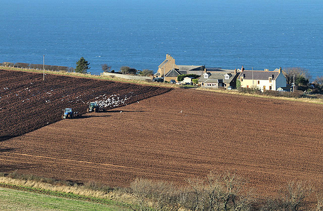
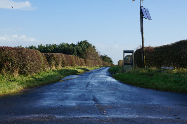
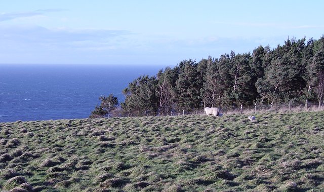
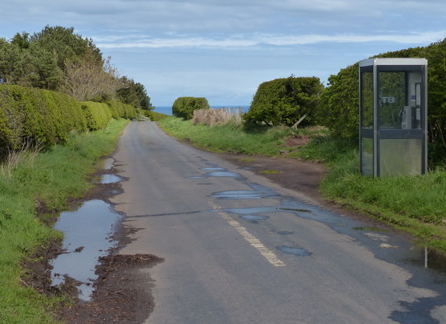
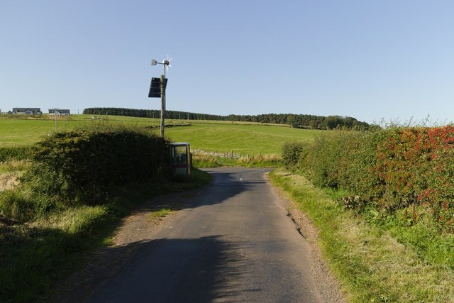
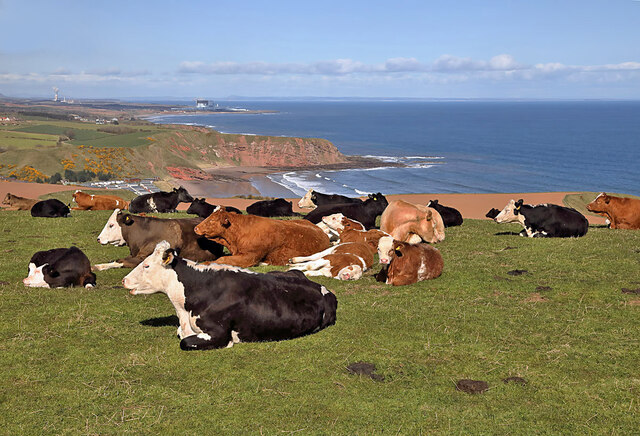
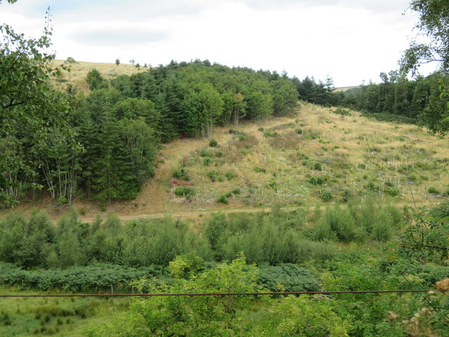
Redclues Cleugh Images
Images are sourced within 2km of 55.907151/-2.3187422 or Grid Reference NT8068. Thanks to Geograph Open Source API. All images are credited.

![The A1 at Blackburn Roadend Looking north. The road and the railway passes through a shallow gap at the eastern end of the Lammermuir Hills. The red and white marker indicating a break [farm gate, drive entrance, joining road etc.] in rural road margins was used for many years on the Continent before being adopted in the UK.](https://s3.geograph.org.uk/geophotos/07/25/11/7251119_2a8410d4.jpg)
Redclues Cleugh is located at Grid Ref: NT8068 (Lat: 55.907151, Lng: -2.3187422)
Unitary Authority: The Scottish Borders
Police Authority: The Lothians and Scottish Borders
What 3 Words
///lasts.outdoor.lawyer. Near Chirnside, Scottish Borders
Nearby Locations
Related Wikis

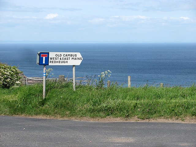
Old Cambus
Old Cambus is a village in the Scottish Borders, Scotland. St. Helens church, which is now a ruin served the area. == References ==

Penmanshiel Tunnel
Penmanshiel Tunnel is a now-disused railway tunnel near Grantshouse, Berwickshire, in the Scottish Borders region of Scotland. It was formerly part of...

Battle of Piperdean
The Battle of Piperdean was an engagement in the Scottish Borders, fought on 10 September 1435 between the Kingdom of Scotland and the Kingdom of England...

Pease Dean
Pease Dean is a nature reserve at Pease Bay, in the Scottish Borders area of Scotland, near the Anglo-Scottish border and Cockburnspath, Cove, and Dunglass...
Grantshouse
Grantshouse is a small village in Berwickshire in the Scottish Borders of Scotland. It lies on the A1, and its nearest railway stations are Dunbar to the...

Grantshouse railway station
Grantshouse railway station served the village of Grantshouse, Berwickshire, Scotland from 1846 to 1964 on the East Coast Main Line. == History == The...

Siccar Point
Siccar Point is a rocky promontory in the county of Berwickshire on the east coast of Scotland. It is famous in the history of geology for Hutton's Unconformity...
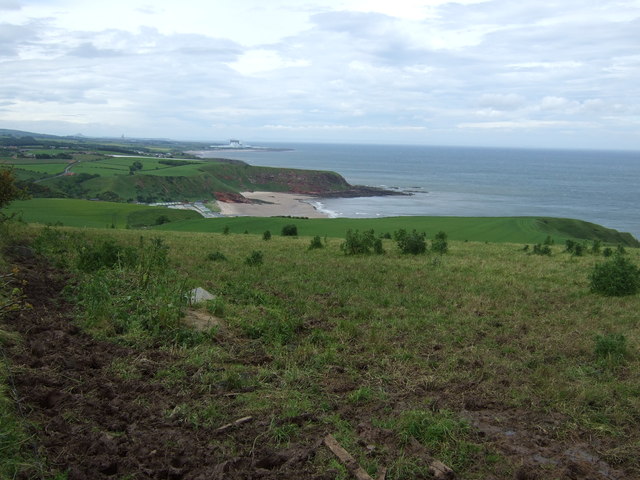
Pease Bay
Pease Bay is a bay, situated miles southeast of Dunbar, in the Scottish Borders area of Scotland, close to the border with East Lothian as well as Cockburnspath...
Nearby Amenities
Located within 500m of 55.907151,-2.3187422Have you been to Redclues Cleugh?
Leave your review of Redclues Cleugh below (or comments, questions and feedback).