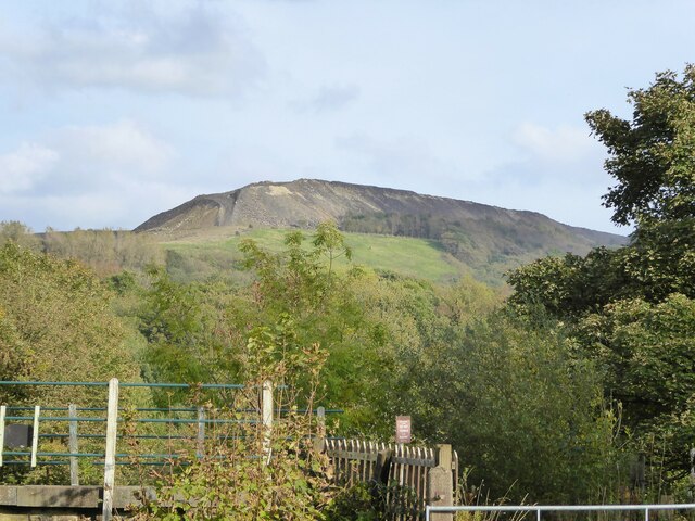
Whitelow Hillock
Hill, Mountain in Lancashire
England
Whitelow Hillock
The requested URL returned error: 429 Too Many Requests
If you have any feedback on the listing, please let us know in the comments section below.
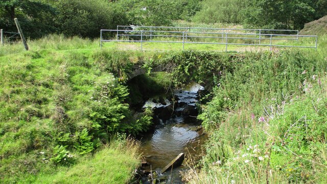
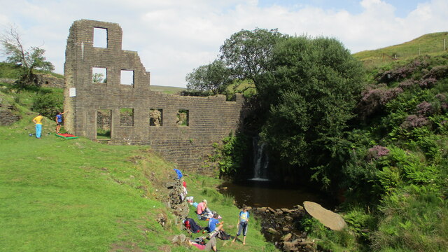
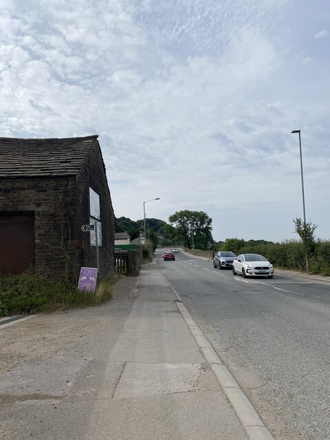
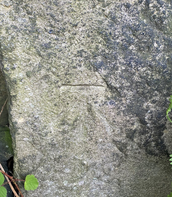
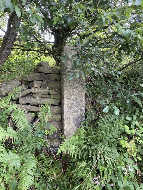
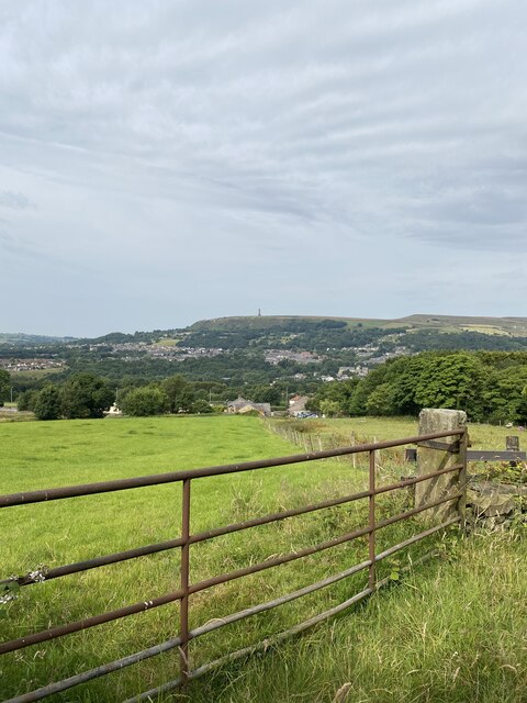
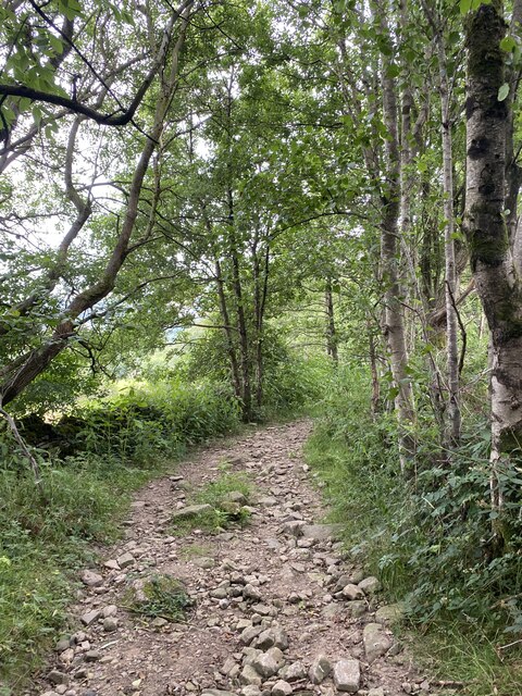
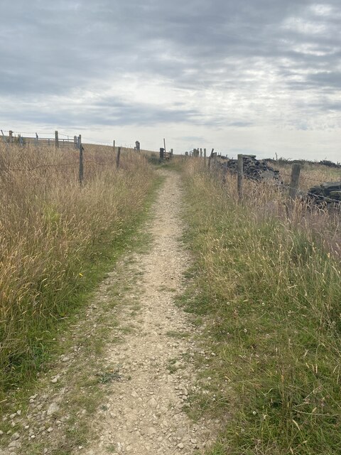
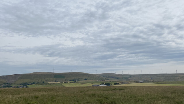
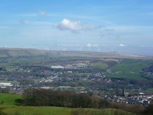
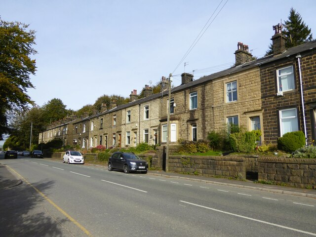
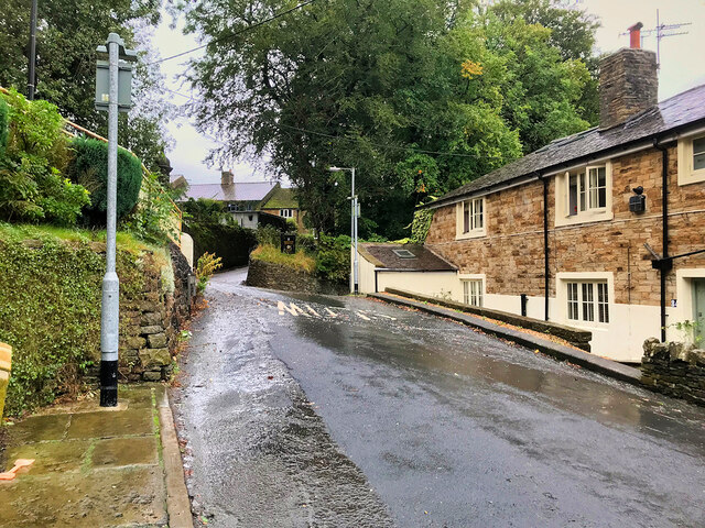
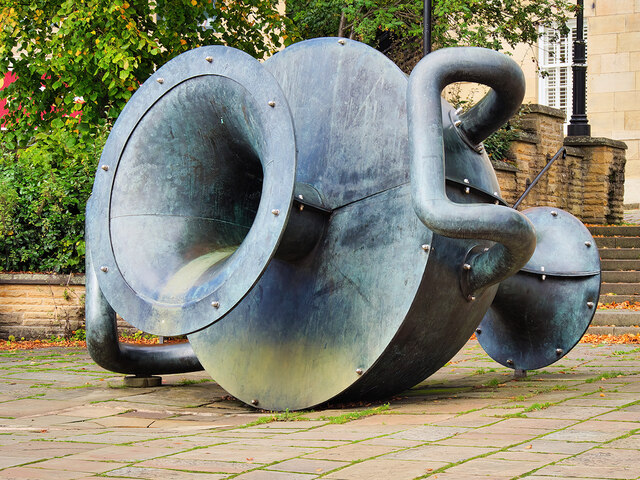
Whitelow Hillock Images
Images are sourced within 2km of 53.642528/-2.2966116 or Grid Reference SD8016. Thanks to Geograph Open Source API. All images are credited.


Whitelow Hillock is located at Grid Ref: SD8016 (Lat: 53.642528, Lng: -2.2966116)
Unitary Authority: Bury
Police Authority: Greater Manchester
What 3 Words
///piglets.durations.trifling. Near Ramsbottom, Manchester
Nearby Locations
Related Wikis

Ramsbottom United F.C.
Ramsbottom United Football Club are an English football club based in Ramsbottom, Greater Manchester. Nicknamed "The Rams", they currently compete in the...

Shuttleworth, Greater Manchester
Shuttleworth is a hamlet at the northeastern extremity of the Metropolitan Borough of Bury, in Greater Manchester, England. It lies amongst the South Pennines...
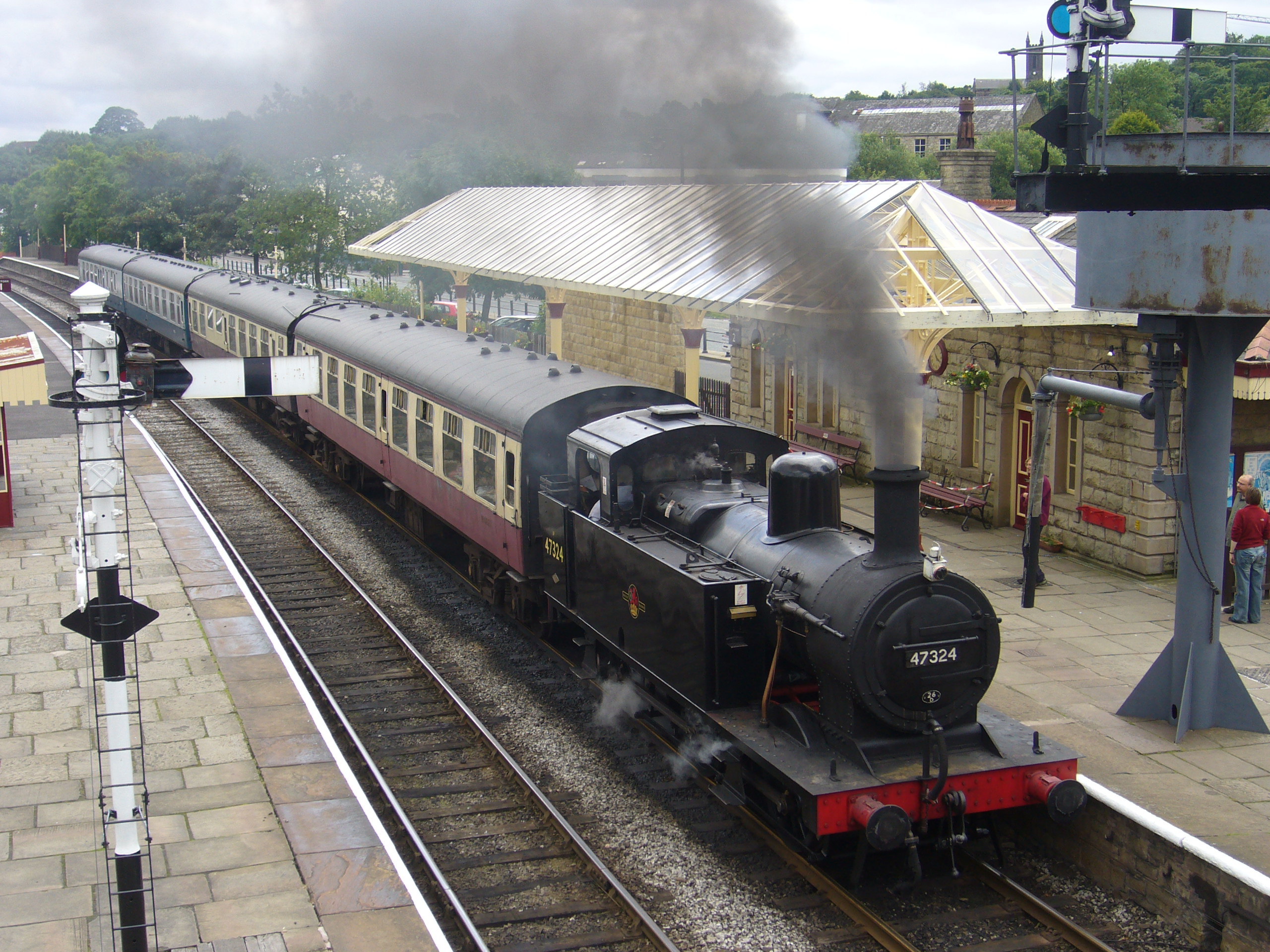
Ramsbottom railway station
Ramsbottom railway station is a heritage station serving the town of Ramsbottom in Greater Manchester, England. == History == The station was built by...

St Paul's Church, Ramsbottom
St Paul's Church is a Church of England parish church in Ramsbottom, Bury, England. The Church is also known more completely as The Church of the Parish...
Nearby Amenities
Located within 500m of 53.642528,-2.2966116Have you been to Whitelow Hillock?
Leave your review of Whitelow Hillock below (or comments, questions and feedback).