White Sheet Hill

Hill, Mountain in Wiltshire

England

White Sheet Hill

Mid Wilts Way on Rodmead Hill Mist renders the landscape a bleak spectacle, as the track runs over windswept chalk downland
Mid Wilts Way on Rodmead Hill Credit: Chris Heaton

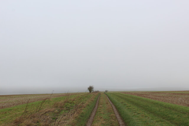
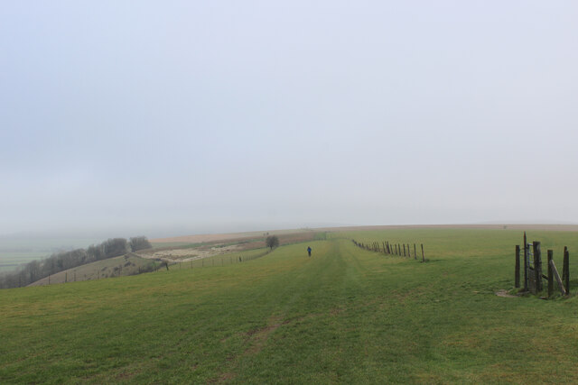
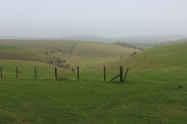
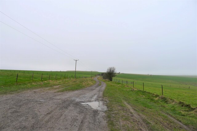
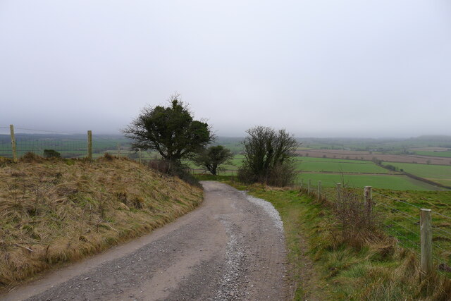
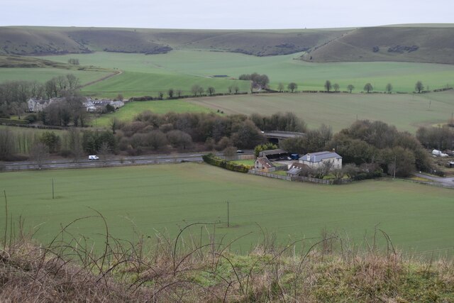
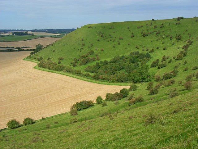
White Sheet Hill is a prominent chalk hill located in Wiltshire, England. It is part of the Cranborne Chase Area of Outstanding Natural Beauty and offers stunning panoramic views of the surrounding countryside. The hill rises to a height of 235 meters (771 feet) above sea level, making it one of the highest points in the area.

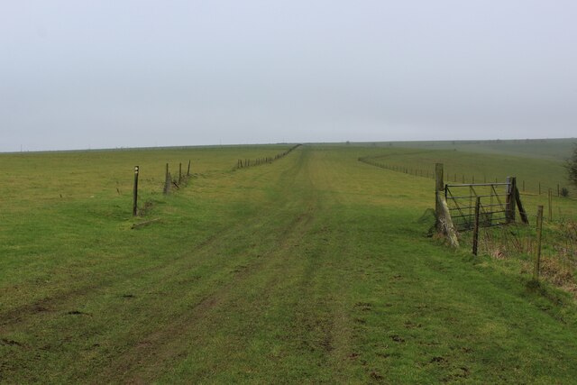
The name "White Sheet Hill" is believed to come from the white chalk that forms the hill's steep slopes. The chalk grassland habitat of the hill is home to a variety of plant and animal species, including rare orchids and butterflies.

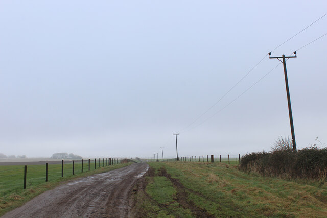
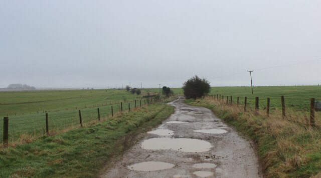
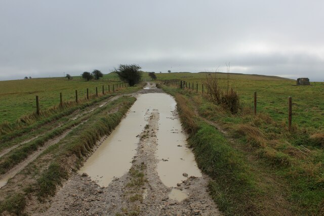
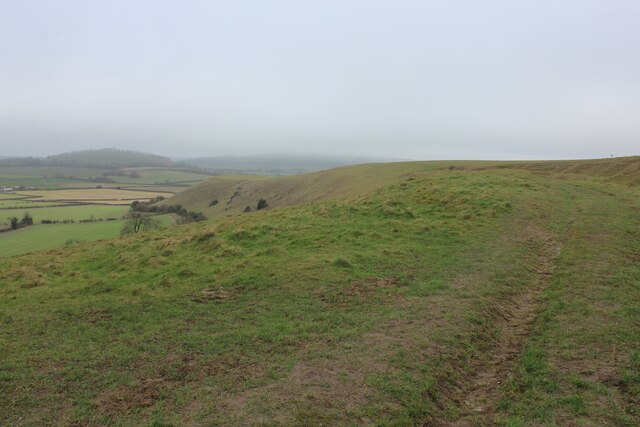
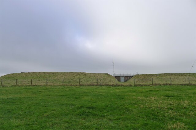
White Sheet Hill is a popular destination for hikers and nature lovers, with several walking trails and footpaths crisscrossing the area. The hill is also known for its archaeological significance, with several ancient burial mounds and earthworks dating back to the Bronze Age located on its slopes.

Overall, White Sheet Hill is a picturesque and tranquil spot, offering visitors a chance to immerse themselves in the natural beauty and history of the Wiltshire countryside.

If you have any feedback on the listing, please let us know in the comments section below.

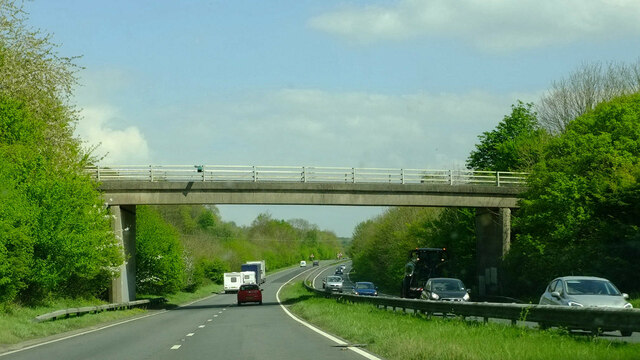
White Sheet Hill Images

Images are sourced within 2km of 51.111177/-2.280106 or Grid Reference ST8034. Thanks to Geograph Open Source API. All images are credited.

Mid Wilts Way on Rodmead Hill Mist renders the landscape a bleak spectacle, as the track runs over windswept chalk downland
Mid Wilts Way on Rodmead Hill
Mist renders the landscape a bleak spectacle, as the track runs over windswept chalk downland
Between Rodmead Hill and White Sheet Hill The Mid Wilts Way follows the edge of windswept chalk downs
Between Rodmead Hill and White Sheet Hill
The Mid Wilts Way follows the edge of windswept chalk downs
Mid Wilts Way heading North East towards Rodmead Hill A 68 mile walk across Wiltshire.
<span class="nowrap"><a title="https://www.ldwa.org.uk/ldp/members/show_path.php?path_name=Mid-Wilts+Way" rel="nofollow ugc noopener" href="https://www.ldwa.org.uk/ldp/members/show_path.php?path_name=Mid-Wilts+Way">Link</a><img style="margin-left:2px;" alt="External link" title="External link - shift click to open in new window" src="https://s1.geograph.org.uk/img/external.png" width="10" height="10"/></span>
Mid Wilts Way heading North East towards Rodmead Hill
A 68 mile walk across Wiltshire. LinkExternal link
Byway on White Sheet Hill Heading east towards Mere Down
Byway on White Sheet Hill
Heading east towards Mere Down
View from White Sheet Hill Looks down into a dry valley, a typical feature of chalk country
View from White Sheet Hill
Looks down into a dry valley, a typical feature of chalk country
Track on White Sheet Hill
Chalky Puddles on White Sheet Hill Byway on White Sheet Hill
Chalky Puddles on White Sheet Hill
Byway on White Sheet Hill
White Sheet Downs
White Sheet Downs
The Mid Wilts Way running south-west from the top of Rodmead Hill
Byway leading off White Sheet Hill We leave our brief encounter with the Mid Wilts Way, and now turn to the west
Byway leading off White Sheet Hill
We leave our brief encounter with the Mid Wilts Way, and now turn to the west
Reservoirs on White Sheet Hill Wessex Water stores borehole-abstracted groundwater in three reservoirs on the hill, the first one built in 1953. They have a combined storage of over 11 megalitres, and supply water to the Yeovil area.
<span class="nowrap"><a title="https://www.wessexwater.co.uk/-/media/files/wessexwater/corporate/strategy-and-reports/business-plan/0509d--water-network-plus-meav-methodology.pdf" rel="nofollow ugc noopener" href="https://www.wessexwater.co.uk/-/media/files/wessexwater/corporate/strategy-and-reports/business-plan/0509d--water-network-plus-meav-methodology.pdf">Link</a><img style="margin-left:2px;" alt="External link" title="External link - shift click to open in new window" src="https://s1.geograph.org.uk/img/external.png" width="10" height="10"/></span> <span class="nowrap"><a title="https://www.wessexwater.co.uk/-/media/files/wessexwater/environment/water-resources-management-plan-2014.pdf" rel="nofollow ugc noopener" href="https://www.wessexwater.co.uk/-/media/files/wessexwater/environment/water-resources-management-plan-2014.pdf">Link</a><img style="margin-left:2px;" alt="External link" title="External link - shift click to open in new window" src="https://s1.geograph.org.uk/img/external.png" width="10" height="10"/></span>
Reservoirs on White Sheet Hill
Wessex Water stores borehole-abstracted groundwater in three reservoirs on the hill, the first one built in 1953. They have a combined storage of over 11 megalitres, and supply water to the Yeovil area. LinkExternal link LinkExternal link
Byway leaving White Sheet Hill The track curves round the top of the chalk down escarpment
Byway leaving White Sheet Hill
The track curves round the top of the chalk down escarpment
Bridge over A303 at Mere The bridge carries Manor Way, which in turn is carrying the Mid Wilts Way LDP.
Bridge over A303 at Mere
The bridge carries Manor Way, which in turn is carrying the Mid Wilts Way LDP.
Looking towards White Sheet Downs from Mere Castle The A303 passes under the bridge near the centre of this view.
Looking towards White Sheet Downs from Mere Castle
The A303 passes under the bridge near the centre of this view.
View down track to Manor Farm With Mere Castle beyond.
View down track to Manor Farm
With Mere Castle beyond.
Track towards Manor Farm The Mid Wilts Way descends form the White Sheet Downs towards Mere.
Track towards Manor Farm
The Mid Wilts Way descends form the White Sheet Downs towards Mere.
Northern edge of Great Bottom Terraced slopes of the White Sheet Downs.
Northern edge of Great Bottom
Terraced slopes of the White Sheet Downs.
Buildings at Manor Farm
Show me another place!

White Sheet Hill is located at Grid Ref: ST8034 (Lat: 51.111177, Lng: -2.280106)

Unitary Authority: Wiltshire

Police Authority: Wiltshire

What 3 Words

///flashback.wonderful.panics. Near Mere, Wiltshire

Related Wikis

White Sheet Hill

White Sheet Hill, also known as Whitesheet Hill, is a hill in the English county of Wiltshire. As one of the most westerly areas of downland in Britain...

Dead Maid Quarry

Dead Maid Quarry (grid reference ST803324) is a 4,400 square metre geological Site of Special Scientific Interest in Mere, Wiltshire, England, notified...

Castle Hill, Mere

Castle Hill, also called Mere Castle, was a medieval fortification built by Richard, the Earl of Cornwall, in 1253 on a hill overlooking the town of Mere...

Mere, Wiltshire

Mere is a market town and civil parish in Wiltshire, England. It lies at the extreme southwestern tip of Salisbury Plain, close to the borders of Somerset...

Nearby Amenities

Located within 500m of 51.111177,-2.280106
Man Made: mast
Lat/Long: 51.1116053/-2.2794261
Barrier: stile
Lat/Long: 51.1146478/-2.2828851
White Sheet Hill
Ele: 245
Natural: peak
Wikidata: Q7996243
Wikipedia: en:White Sheet Hill
Lat/Long: 51.1108399/-2.2819362
Bench
Backrest: no
Lat/Long: 51.1083073/-2.2746769
The data included in this document is from www.openstreetmap.org. The data is made available under ODbL.

Have you been to White Sheet Hill?

Leave your review of White Sheet Hill below (or comments, questions and feedback).