Pike Wood

Wood, Forest in Lancashire

England

Pike Wood

Longland Mill Bridge There is little left on the mill site apart from the mill pond
Longland Mill Bridge Credit: Kevin Waterhouse

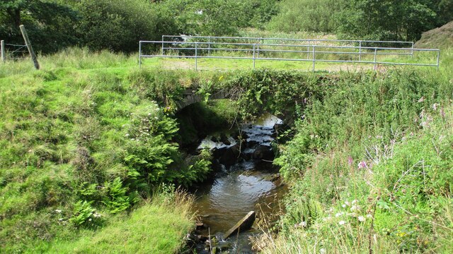
Pike Wood, located in Lancashire, England, is a picturesque forest known for its rich biodiversity and natural beauty. Spanning over a vast area, the wood is characterized by its dense canopy of oak, beech, and birch trees that create a serene and tranquil atmosphere.

The wood is home to a diverse array of flora and fauna, making it a haven for nature lovers and wildlife enthusiasts. Within its depths, one can find various species of wildflowers, ferns, and mosses, adding vibrant colors to the forest floor. The forest also provides a habitat for an abundance of bird species, including woodpeckers, jays, and owls, making it a popular spot for birdwatching.

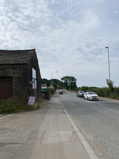
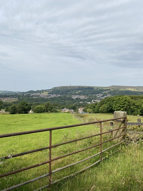
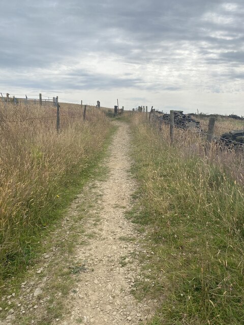
Pike Wood offers a range of activities for visitors to enjoy. There are several well-maintained walking trails that wind through the woods, allowing visitors to explore and experience the natural wonders up close. These trails offer breathtaking views of the surrounding countryside and provide opportunities for peaceful walks, picnics, or photography.

The wood is also known for its historical significance, with remnants of ancient settlements and burial mounds dating back to the Neolithic period. Archaeological discoveries have shed light on the human occupation of the area throughout history, adding an element of intrigue and fascination to the wood.

Overall, Pike Wood in Lancashire is a remarkable destination that offers a harmonious blend of natural beauty, wildlife, and cultural heritage. It serves as a sanctuary for both nature enthusiasts and those seeking tranquility amidst the serene surroundings.

If you have any feedback on the listing, please let us know in the comments section below.
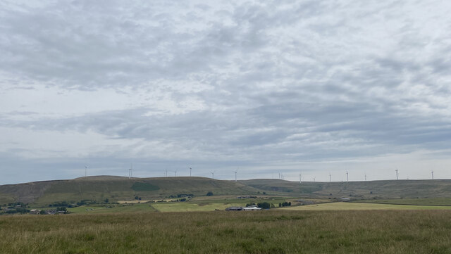
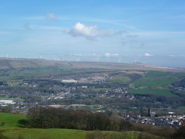
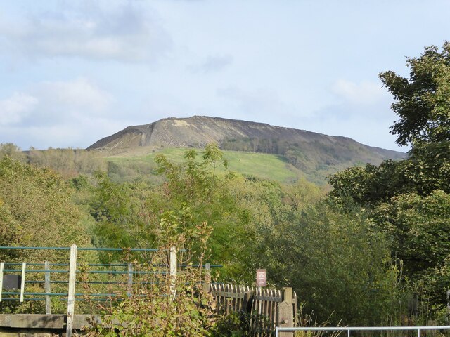
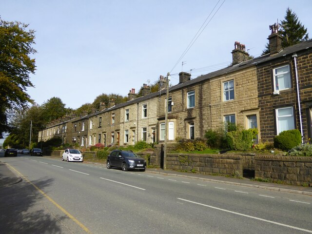
Pike Wood Images

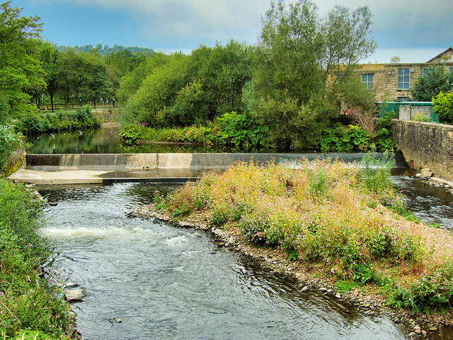
Images are sourced within 2km of 53.641051/-2.2980987 or Grid Reference SD8016. Thanks to Geograph Open Source API. All images are credited.

Longland Mill Bridge There is little left on the mill site apart from the mill pond
Longland Mill Bridge
There is little left on the mill site apart from the mill pond
A56, Peel Tower in the distance
OS Cut Mark - Ramsbottom, Whitelow Road Right of Way <span class="nowrap"><a title="https://www.bench-marks.org.uk/bm94166" rel="nofollow ugc noopener" href="https://www.bench-marks.org.uk/bm94166">Link</a><img style="margin-left:2px;" alt="External link" title="External link - shift click to open in new window" src="https://s1.geograph.org.uk/img/external.png" width="10" height="10"/></span>
OS Cut Mark - Ramsbottom, Whitelow Road Right of Way
Location of OS Cut Mark - Ramsbottom, Whitelow Road Right of Way
Lovely views
Lovely views
Right of way to Harden Moor A bit bumpy for my liking
Right of way to Harden Moor
A bit bumpy for my liking
Right of way to Harden Moor
Harden Moor Trig Point Flush Bracket S4553 Even trig pillars need shade in this heat!
Harden Moor Trig Point Flush Bracket S4553
Even trig pillars need shade in this heat!
Views North East from Harden Moor
Cut Mark - Ramsbottom, Eagle and Child Public House <span class="nowrap"><a title="https://www.bench-marks.org.uk/bm49380" rel="nofollow ugc noopener" href="https://www.bench-marks.org.uk/bm49380">Link</a><img style="margin-left:2px;" alt="External link" title="External link - shift click to open in new window" src="https://s1.geograph.org.uk/img/external.png" width="10" height="10"/></span>
Cut Mark - Ramsbottom, Eagle and Child Public House
Location of Cut Mark - Ramsbottom, Eagle and Child Public House
Fletcher Bank Quarry above Ramsbottom View from Holcombe Hill on the path to Peel Tower. Scout Moor windfarm is on the skyline
Fletcher Bank Quarry above Ramsbottom
View from Holcombe Hill on the path to Peel Tower. Scout Moor windfarm is on the skyline
Quarry spoil heap An active quarry looming above the Irwell Valley
Quarry spoil heap
An active quarry looming above the Irwell Valley
Terrace housing On Whalley Road
Terrace housing
On Whalley Road
WWII Lancashire: Ghost Signs of the Home Front  (20) -
Emergency Rendezvous Point, Rostron Road, Ramsbottom, at junction with Victoria Street

"ERP 438" looks remarkably fresh, most probably repainted.

Emergency Rendezvous Points (ERP) were designated places in the locality for the coordination of ARP and emergency services during civil emergencies, particularly for those services arriving from outside the area. The signs appear in a variety of designs, but most are diamond shapes framing the ERP locality number.

<a href="https://www.geograph.org.uk/photo/6945322">SD7816 : WWII Lancashire: Ghost Signs of the Home Front  (21)</a>
WWII Lancashire: Ghost Signs of the Home Front (20)
- Emergency Rendezvous Point, Rostron Road, Ramsbottom, at junction with Victoria Street "ERP 438" looks remarkably fresh, most probably repainted. Emergency Rendezvous Points (ERP) were designated places in the locality for the coordination of ARP and emergency services during civil emergencies, particularly for those services arriving from outside the area. The signs appear in a variety of designs, but most are diamond shapes framing the ERP locality number. SD7816 : WWII Lancashire: Ghost Signs of the Home Front (21)
WWII Lancashire: Ghost Signs of the Home Front  (21) -
Emergency Rendezvous Point, Rostron Road, Ramsbottom, at junction with Victoria Street

"ERP 438"

Emergency Rendezvous Points (ERP) were designated places in the locality for the coordination of ARP and emergency services during civil emergencies, particularly for those services arriving from outside the area. The signs appear in a variety of designs, but most are diamond shapes framing the ERP locality number.

<a href="https://www.geograph.org.uk/photo/6945337">SD8432 : WWII Lancashire: Ghost Signs of the Home Front  (22)</a>
WWII Lancashire: Ghost Signs of the Home Front (21)
- Emergency Rendezvous Point, Rostron Road, Ramsbottom, at junction with Victoria Street "ERP 438" Emergency Rendezvous Points (ERP) were designated places in the locality for the coordination of ARP and emergency services during civil emergencies, particularly for those services arriving from outside the area. The signs appear in a variety of designs, but most are diamond shapes framing the ERP locality number. SD8432 : WWII Lancashire: Ghost Signs of the Home Front (22)
River Irwell, Ramsbottom Weir Photographed from the Ramsbottom Bridge at Peel Brow. The channel at the left is the old mill stream which served the (now demolished) Holcombe Paper Mill.
River Irwell, Ramsbottom Weir
Photographed from the Ramsbottom Bridge at Peel Brow. The channel at the left is the old mill stream which served the (now demolished) Holcombe Paper Mill.
Show me another place!

Pike Wood is located at Grid Ref: SD8016 (Lat: 53.641051, Lng: -2.2980987)

Unitary Authority: Bury

Police Authority: Greater Manchester

What 3 Words

///grudging.avoiding.berated. Near Ramsbottom, Manchester

Nearby Locations

Whitelow Hillock Pike Wood

Related Wikis

Ramsbottom United F.C.

Ramsbottom United Football Club are an English football club based in Ramsbottom, Greater Manchester. Nicknamed "The Rams", they currently compete in the...

Ramsbottom railway station

Ramsbottom railway station is a heritage station serving the town of Ramsbottom in Greater Manchester, England. == History == The station was built by...

Shuttleworth, Greater Manchester

Shuttleworth is a hamlet at the northeastern extremity of the Metropolitan Borough of Bury, in Greater Manchester, England. It lies amongst the South Pennines...

Summerseat

Summerseat is a village in the Metropolitan Borough of Bury, Greater Manchester, England, directly south of Ramsbottom. == History == Historically part...

Nearby Amenities

Located within 500m of 53.641051,-2.2980987
Created By: YahooApplet 1.0
Lat/Long: 53.6423562/-2.3025489
Created By: YahooApplet 1.0
Lat/Long: 53.6419937/-2.3024416
Created By: YahooApplet 1.0
Lat/Long: 53.6387053/-2.3033321
Park
Place: hamlet
Source: npe
Lat/Long: 53.6416368/-2.3013173
Bus Stop
Manchester Road/Bury New Farm
Bus: yes
Naptan AtcoCode: 1800NC08801
Naptan Bearing: S
Naptan CommonName: Manchester Road/Bury New Farm
Naptan Indicator: Farm
Naptan Landmark: FARM
Naptan NaptanCode: mandpdtg
Naptan PlusbusZoneRef: MNCRPIC
Naptan ShortCommonName: Bury New Farm
Naptan Street: MANCHESTER ROAD
Naptan Verified: no
Network: TfGM
Public Transport: platform
Source: naptan_import
Lat/Long: 53.6442827/-2.302963
Bus Stop
Manchester Road/Park Farm
Bus: yes
Naptan AtcoCode: 1800NC08811
Naptan Bearing: N
Naptan CommonName: Manchester Road/Park Farm
Naptan Indicator: Parr Farm
Naptan Landmark: PARK FARM
Naptan NaptanCode: mandpdtj
Naptan PlusbusZoneRef: MNCRPIC
Naptan ShortCommonName: Park Farm
Naptan Street: MANCHESTER ROAD
Naptan Verified: no
Network: TfGM
Public Transport: platform
Source: naptan_import
Lat/Long: 53.6413352/-2.3026998
Bus Stop
Manchester Road/Park Farm
Bus: yes
Naptan AtcoCode: 1800NC08821
Naptan Bearing: S
Naptan CommonName: Manchester Road/Park Farm
Naptan Indicator: Garden
Naptan Landmark: HOUSE 211
Naptan NaptanCode: mandpdtm
Naptan PlusbusZoneRef: MNCRPIC
Naptan ShortCommonName: Park Farm
Naptan Street: MANCHESTER ROAD
Naptan Verified: no
Network: TfGM
Public Transport: platform
Source: naptan_import
Lat/Long: 53.6407505/-2.3028772
Bus Stop
Manchester Road/Park Wood
Bus: yes
Naptan AtcoCode: 1800NC08831
Naptan Bearing: N
Naptan CommonName: Manchester Road/Park Wood
Naptan Indicator: Nr House 360
Naptan Landmark: NR HOUSE
Naptan NaptanCode: mandpdtp
Naptan Notes: INDICATOR AMENDED
Naptan PlusbusZoneRef: MNCRPIC
Naptan ShortCommonName: Park Wood
Naptan Street: MANCHESTER ROAD
Naptan Verified: no
Network: TfGM
Public Transport: platform
Source: naptan_import
Lat/Long: 53.6399671/-2.3034161
Bus Stop
Manchester Road/Park Wood
Bus: yes
Naptan AtcoCode: 1800NC08841
Naptan Bearing: S
Naptan CommonName: Manchester Road/Park Wood
Naptan Indicator: Underwood Opp
Naptan Landmark: UNDERWOOD OPP
Naptan NaptanCode: mandpdtw
Naptan PlusbusZoneRef: MNCRPIC
Naptan ShortCommonName: Park Wood
Naptan Street: MANCHESTER ROAD
Naptan Verified: no
Network: TfGM
Public Transport: platform
Source: naptan_import
Lat/Long: 53.6384937/-2.3031332
Ramsbottom
Communication Microwave: yes
Communication Television: yes
Height: 25
Man Made: tower
Material: steel
Operator: Arqiva
Tower Construction: lattice
Tower Type: communication
Lat/Long: 53.6392509/-2.2989862
The data included in this document is from www.openstreetmap.org. The data is made available under ODbL.

Have you been to Pike Wood?

Leave your review of Pike Wood below (or comments, questions and feedback).