Candle Hillock
Hill, Mountain in Kincardineshire
Scotland
Candle Hillock
Candle Hillock is a prominent hill located in the region of Kincardineshire, Scotland. Standing at an elevation of approximately 315 meters (1,033 feet), it offers stunning panoramic views of the surrounding countryside. The hill is situated near the village of Muchalls, about 20 kilometers (12 miles) south of Aberdeen.
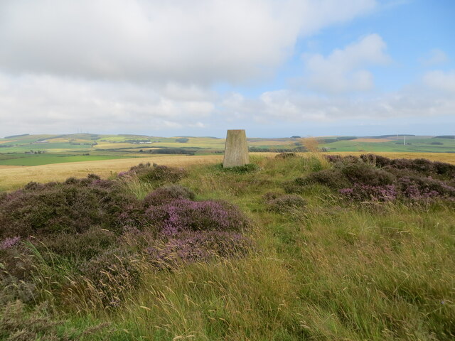
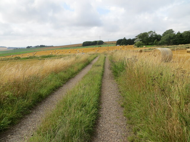
Covered in lush greenery and dotted with patches of heather, Candle Hillock is a popular destination for outdoor enthusiasts and hikers. Its well-defined trails and paths make it easily accessible for visitors of all abilities. The hill's gentle slopes and moderate inclines provide a pleasant and manageable ascent, making it a great option for a leisurely walk or a family outing.
At the summit, hikers are rewarded with breathtaking views that stretch across the Aberdeenshire landscape, offering glimpses of the North Sea and the picturesque coastline. On a clear day, it is said that one can even catch sight of the iconic Dunnottar Castle, perched dramatically atop a cliff.
In addition to its natural beauty, Candle Hillock also holds historical significance. It is believed to have been a site of prehistoric settlements, with remnants of ancient stone structures and burial mounds discovered in the vicinity.
Overall, Candle Hillock in Kincardineshire provides a wonderful opportunity to immerse oneself in the beauty of the Scottish countryside, offering a peaceful escape from the hustle and bustle of everyday life.
If you have any feedback on the listing, please let us know in the comments section below.
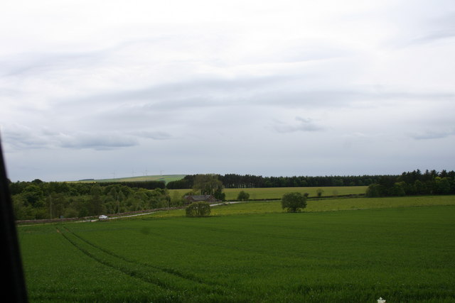
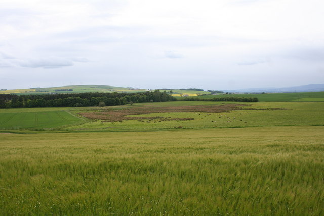
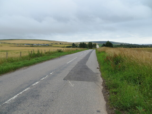
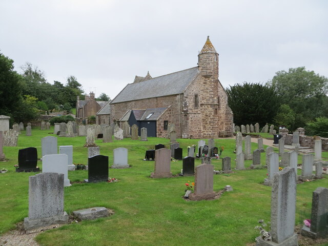
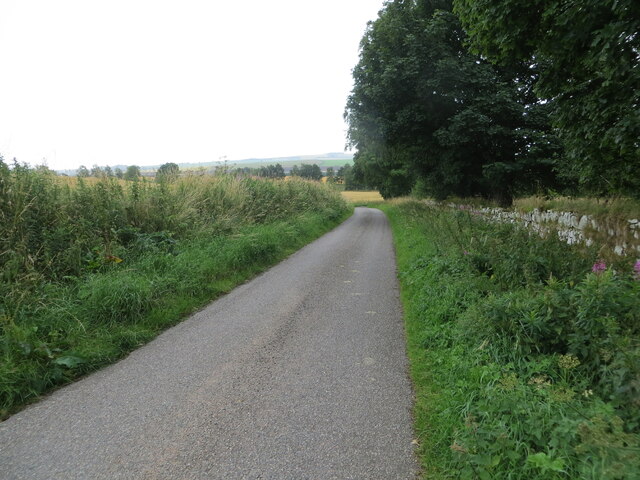
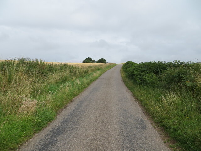
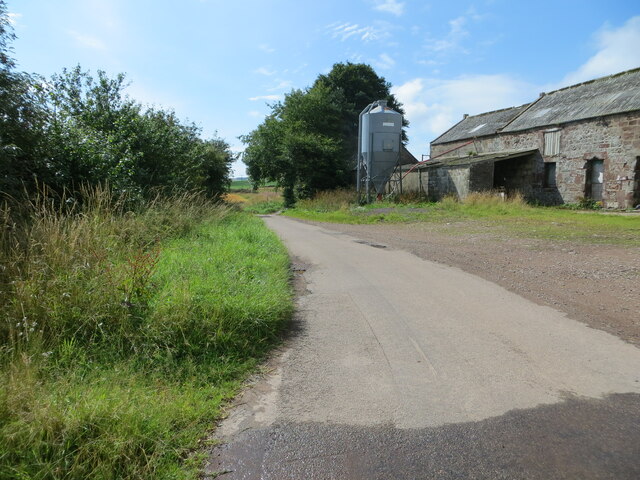
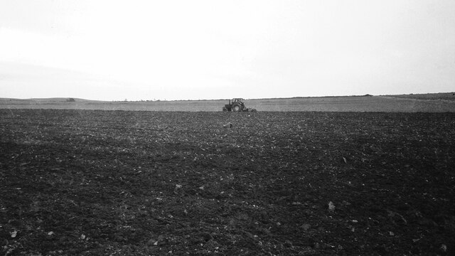
Candle Hillock Images
Images are sourced within 2km of 56.874665/-2.3221768 or Grid Reference NO8075. Thanks to Geograph Open Source API. All images are credited.


Candle Hillock is located at Grid Ref: NO8075 (Lat: 56.874665, Lng: -2.3221768)
Unitary Authority: Aberdeenshire
Police Authority: North East
What 3 Words
///perky.snowy.logic. Near Inverbervie, Aberdeenshire
Nearby Locations
Related Wikis

Arbuthnott
Arbuthnott (Scottish Gaelic: Obar Bhuadhnait, "mouth of the Buadhnat") is a hamlet and parish in the Howe of the Mearns, a low-lying agricultural district...

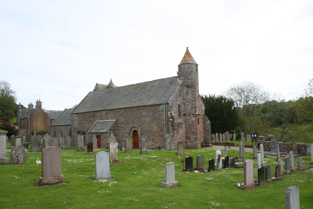
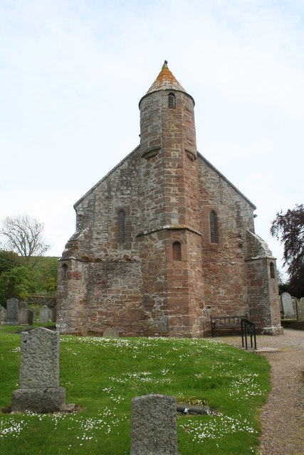
Arbuthnott Parish Kirk
Arbuthnott Parish Kirk is a church in Arbuthnott, Aberdeenshire, Scotland. Now a Category A listed building, it was built in at least the 13th century...

Allardice Castle
Allardice Castle (also spelled Allardyce) is a sixteenth-century manor house in Kincardineshire, Scotland. It is approximately 1.5 kilometres north-west...

Inverbervie Town House
Inverbervie Town House is a municipal structure in Church Street in Inverbervie, Aberdeenshire, Scotland. The structure, which is primarily used as a public...
Nearby Amenities
Located within 500m of 56.874665,-2.3221768Have you been to Candle Hillock?
Leave your review of Candle Hillock below (or comments, questions and feedback).