Cot Hillock

Hill, Mountain in Kincardineshire

Scotland

Cot Hillock

Parkneuk Fields Fields by Parkneuk and the B976.
Parkneuk Fields Credit: Andrew Wood

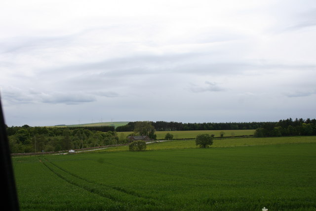
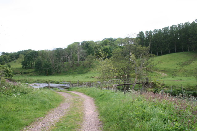
Cot Hillock is a prominent hill located in the region of Kincardineshire, Scotland. It is situated near the village of Fettercairn and lies approximately 30 miles south of Aberdeen. With an elevation of 309 meters (1,014 feet), it is considered one of the highest points in the area, offering breathtaking panoramic views of the surrounding countryside.

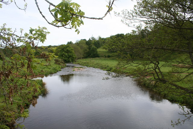
The hill is characterized by its distinctive conical shape, making it easily recognizable from afar. Its slopes are covered in a mix of heather, grasses, and scattered trees, creating a picturesque landscape. Cot Hillock is a popular destination for outdoor enthusiasts, hikers, and nature lovers who are drawn to its natural beauty and tranquil atmosphere.

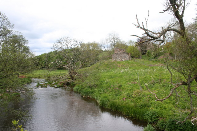
The hill is also of historical significance, as it is home to the remains of an ancient hillfort. These remnants of Iron Age fortifications provide insight into the area's past and attract archaeology enthusiasts. Additionally, the hill is known for its rich wildlife, including various bird species and small mammals, making it a haven for birdwatchers and wildlife photographers.

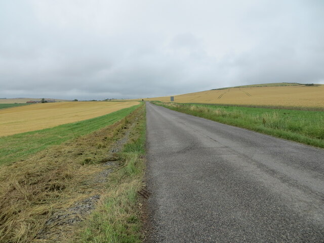
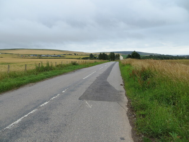
Access to Cot Hillock is relatively straightforward, with a network of well-maintained paths leading to the summit. From the top, visitors can enjoy stunning vistas of the rolling countryside, nearby hills, and, on clear days, even glimpses of the North Sea. Whether for a leisurely stroll or a more challenging hike, Cot Hillock offers a serene and picturesque escape from the hustle and bustle of daily life.

If you have any feedback on the listing, please let us know in the comments section below.
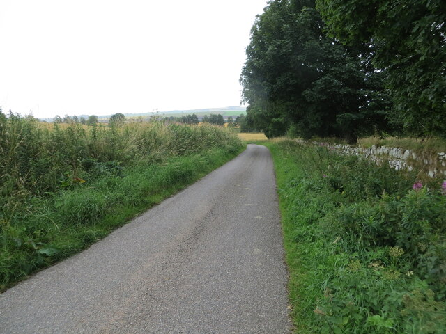
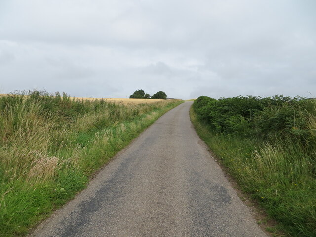
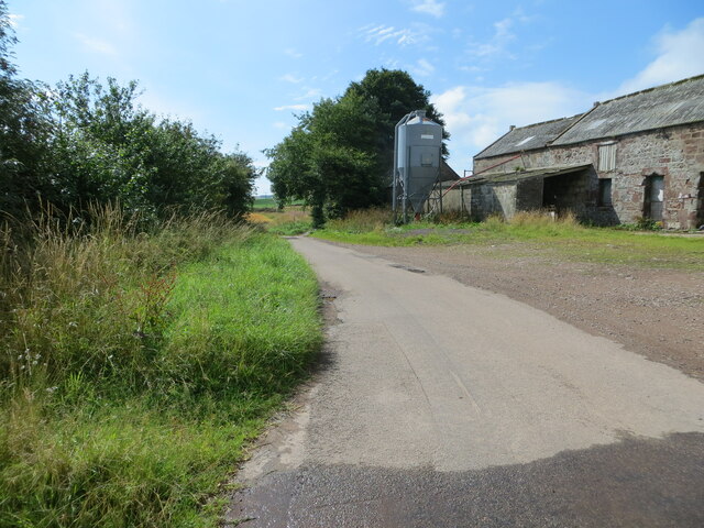
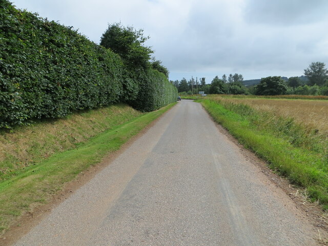
Cot Hillock Images

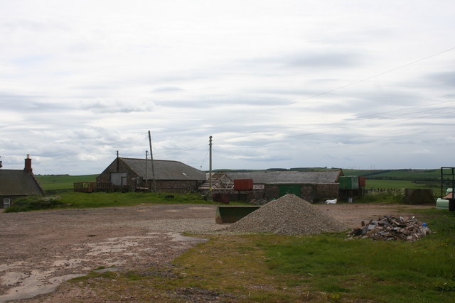
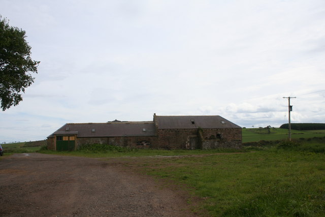
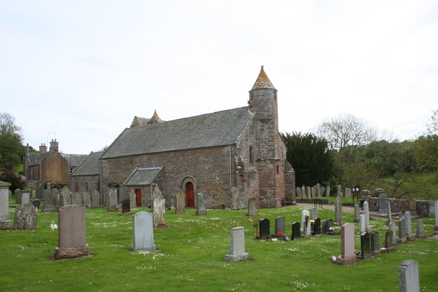
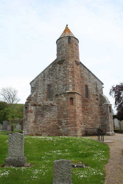
Images are sourced within 2km of 56.86694/-2.3181902 or Grid Reference NO8075. Thanks to Geograph Open Source API. All images are credited.

Parkneuk Fields Fields by Parkneuk and the B976.
Parkneuk Fields
Fields by Parkneuk and the B976.
Road (B967) passing through arable fields near to Tullymartin Looking north-westward.
Road (B967) passing through arable fields near to Tullymartin
Looking north-westward.
Road (B967) near to Millplough Looking south-eastward. Millplough Farm can be seen on the left of the picture.
Road (B967) near to Millplough
Looking south-eastward. Millplough Farm can be seen on the left of the picture.
The Church of St Ternan and part of its burial ground at Arbuthnott Viewed from the northwest.
The Church of St Ternan and part of its burial ground at Arbuthnott
Viewed from the northwest.
Minor road signed 'To Arbuthnott Church' Looking south-eastward.
Minor road signed 'To Arbuthnott Church'
Looking south-eastward.
Minor road heading towards Laes Looking northward.
Minor road heading towards Laes
Looking northward.
Minor road at Gobbs Farm Looking southward.
Minor road at Gobbs Farm
Looking southward.
Minor road approaching the B967 near Arbuthnott Looking south-eastward from Parkneuk.
Minor road approaching the B967 near Arbuthnott
Looking south-eastward from Parkneuk.
Mains of Allardice A farm by the B976 near Inverbervie.
Mains of Allardice
A farm by the B976 near Inverbervie.
Kirkton Farm A farm by the B976 near Inverbervie.
Kirkton Farm
A farm by the B976 near Inverbervie.
Kirk of St Ternan The parish church of St Ternan, one of the few pre-reformation churches in continuous use. St Ternan was a Pictish saint placing the historic site even farther back.
Kirk of St Ternan
The parish church of St Ternan, one of the few pre-reformation churches in continuous use. St Ternan was a Pictish saint placing the historic site even farther back.
St Ternans Tower A Bell tower at St Ternans the parish church of Arbuthnott.
St Ternans Tower
A Bell tower at St Ternans the parish church of Arbuthnott.
Footbridge over the Bervie A footbridge over the Bervie water by Arbuthnott Kirk. The Bervie is fordable here the bridge presumably being a method to keep feet dry.
Footbridge over the Bervie
A footbridge over the Bervie water by Arbuthnott Kirk. The Bervie is fordable here the bridge presumably being a method to keep feet dry.
Bervie Water A view from the footbridge of the Bervie water flowing downstream at Arbuthnott.
Bervie Water
A view from the footbridge of the Bervie water flowing downstream at Arbuthnott.
Bervie Water An upstream view from the footbridge with a ruin on the right.
Bervie Water
An upstream view from the footbridge with a ruin on the right.
Ruin by the Bervie A ruin by Bervie Water by Arbuthnott.
Ruin by the Bervie
A ruin by Bervie Water by Arbuthnott.
Arbuthnott Footbridge A footbridge over the Bervie Water near Arbuthnott Kirk.
Arbuthnott Footbridge
A footbridge over the Bervie Water near Arbuthnott Kirk.
Ruin at Arbuthnott A ruin between arbuthnott Kirk and the Bervie Water.
Ruin at Arbuthnott
A ruin between arbuthnott Kirk and the Bervie Water.
Show me another place!

Cot Hillock is located at Grid Ref: NO8075 (Lat: 56.86694, Lng: -2.3181902)

Unitary Authority: Aberdeenshire

Police Authority: North East

What 3 Words

///suspended.timidly.defers. Near Inverbervie, Aberdeenshire

Related Wikis

Arbuthnott

Arbuthnott (Scottish Gaelic: Obar Bhuadhnait, "mouth of the Buadhnat") is a hamlet and parish in the Howe of the Mearns, a low-lying agricultural district...

Arbuthnott Parish Kirk

Arbuthnott Parish Kirk is a church in Arbuthnott, Aberdeenshire, Scotland. Now a Category A listed building, it was built in at least the 13th century...

Allardice Castle

Allardice Castle (also spelled Allardyce) is a sixteenth-century manor house in Kincardineshire, Scotland. It is approximately 1.5 kilometres north-west...

Inverbervie Town House

Inverbervie Town House is a municipal structure in Church Street in Inverbervie, Aberdeenshire, Scotland. The structure, which is primarily used as a public...

Nearby Amenities

Located within 500m of 56.86694,-2.3181902
Power: pole
Lat/Long: 56.8682041/-2.3109308
Power: pole
Lat/Long: 56.8683904/-2.3118246
Power: pole
Lat/Long: 56.8686016/-2.3130216
Power: pole
Lat/Long: 56.8688319/-2.3142803
Power: pole
Lat/Long: 56.8690622/-2.3154827
Power: pole
Lat/Long: 56.8692984/-2.3167522
Power: pole
Lat/Long: 56.8695199/-2.3179291
Power: pole
Lat/Long: 56.8698331/-2.3186296
Power: pole
Lat/Long: 56.8701198/-2.3192898
Power: pole
Lat/Long: 56.870235/-2.3204989
Power: pole
Lat/Long: 56.8703597/-2.3216852
Power: pole
Lat/Long: 56.8704741/-2.3228446
Power: pole
Lat/Long: 56.8685796/-2.3254735
Power: pole
Lat/Long: 56.8634509/-2.3216033
Power: pole
Lat/Long: 56.8638984/-2.3206398
Power: pole
Lat/Long: 56.8642549/-2.3198588
Power: pole
Lat/Long: 56.8646921/-2.3189033
Power: pole
Lat/Long: 56.8650398/-2.3181196
Power: pole
Lat/Long: 56.8655987/-2.3181089
Power: pole
Lat/Long: 56.8661665/-2.3180928
Power: pole
Lat/Long: 56.8671383/-2.3180351
Power: pole
Lat/Long: 56.8677486/-2.3180109
Power: pole
Lat/Long: 56.8683486/-2.3179814
Power: pole
Lat/Long: 56.8689456/-2.3179546
Power: pole
Lat/Long: 56.8700531/-2.3172756
Power: pole
Lat/Long: 56.870653/-2.3168971
Power: pole
Lat/Long: 56.871297/-2.3164811
Power: pole
Lat/Long: 56.8646584/-2.3176124
Power: pole
Lat/Long: 56.8642916/-2.3170568
Power: pole
Lat/Long: 56.8638632/-2.3165227
Power: pole
Lat/Long: 56.8635265/-2.3160517
Pitcarles
Place: hamlet
Lat/Long: 56.8683413/-2.3200788
The data included in this document is from www.openstreetmap.org. The data is made available under ODbL.

Have you been to Cot Hillock?

Leave your review of Cot Hillock below (or comments, questions and feedback).