Bleak Law
Hill, Mountain in Durham
England
Bleak Law
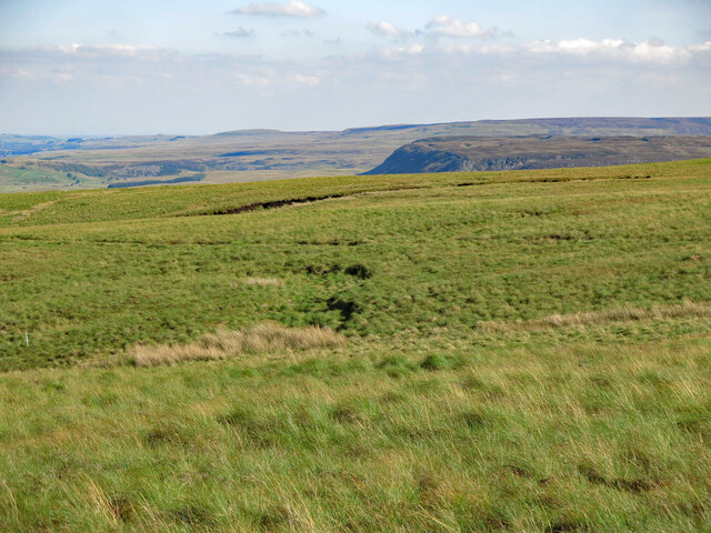
Bleak Law is a prominent hill located in Durham, England. It is part of the larger Durham Dales area and offers stunning views of the surrounding countryside. The hill is characterized by its rugged terrain, with rocky outcrops and steep slopes that challenge hikers and climbers alike.
At an elevation of approximately 1,000 feet, Bleak Law is a popular destination for outdoor enthusiasts looking to explore the natural beauty of the region. The hill is home to a variety of plant and animal species, making it a haven for wildlife enthusiasts and nature lovers.
The name "Bleak Law" is thought to have originated from the Old English word "bleac," meaning pale or bleak, which reflects the stark beauty of the landscape. Visitors to Bleak Law can enjoy hiking, birdwatching, and photography opportunities, as well as the chance to immerse themselves in the tranquility of the countryside.
Overall, Bleak Law is a must-visit destination for those seeking a challenging outdoor adventure and a glimpse into the rugged beauty of Durham's landscape.
If you have any feedback on the listing, please let us know in the comments section below.
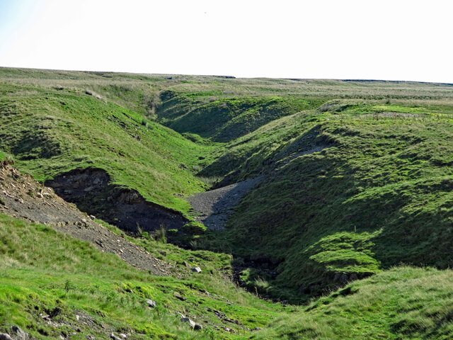
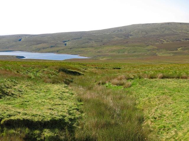
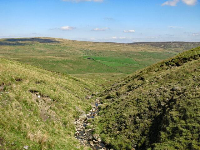
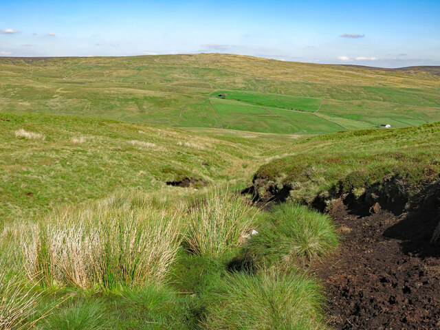
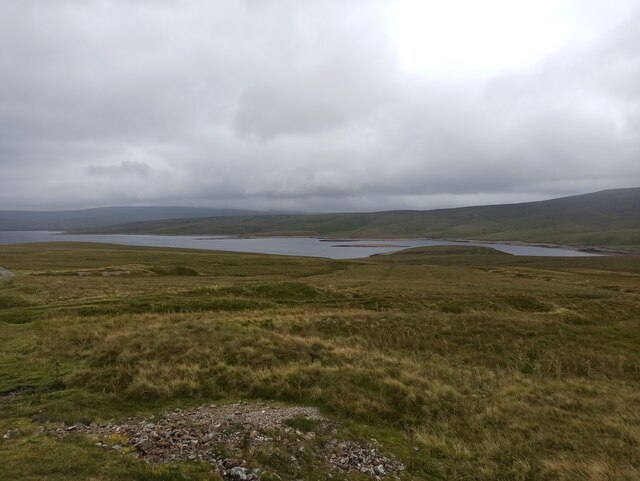
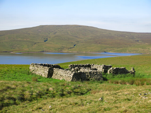
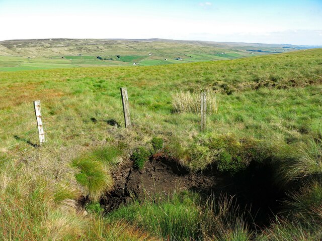
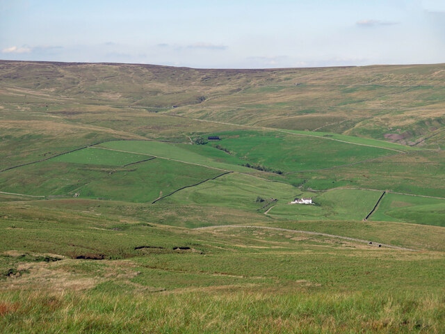
Bleak Law Images
Images are sourced within 2km of 54.688054/-2.3044556 or Grid Reference NY8032. Thanks to Geograph Open Source API. All images are credited.


Bleak Law is located at Grid Ref: NY8032 (Lat: 54.688054, Lng: -2.3044556)
Unitary Authority: County Durham
Police Authority: Durham
What 3 Words
///among.approve.emeralds. Near Holwick, Co. Durham
Nearby Locations
Related Wikis
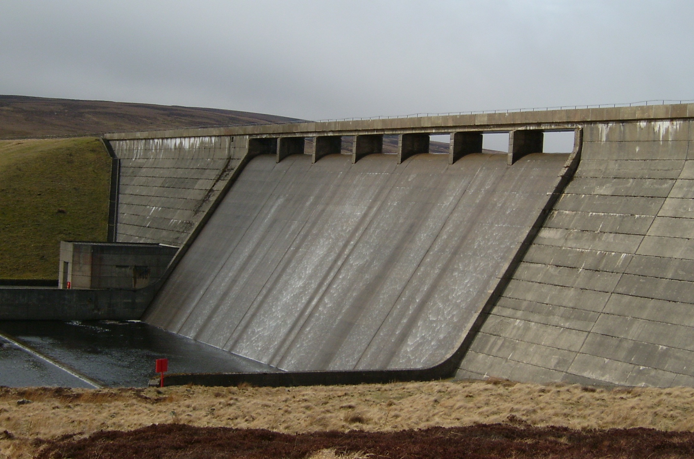
Cow Green Reservoir
Cow Green Reservoir is a 2-mile (3 km) long water reservoir forming part of the border between the historic counties of Westmorland and County Durham in...

Upper Teesdale
Upper Teesdale is a Site of Special Scientific Interest (SSSI) in the west County Durham, England. It encompasses an extensive upland area that includes...

Harwood, County Durham
Harwood is a small valley and village near the head of Teesdale. Harwood Beck is a tributary of the River Tees in County Durham which forms a short valley...

Cauldron Snout
Cauldron Snout is a cascade on the upper reaches of the River Tees in Northern England, immediately below the dam of the Cow Green Reservoir. It is well...
Nearby Amenities
Located within 500m of 54.688054,-2.3044556Have you been to Bleak Law?
Leave your review of Bleak Law below (or comments, questions and feedback).