Watch Crags

Hill, Mountain in Northumberland

England

Watch Crags

Pit Cottages With their own shelterbelt.
Beside the High Carriteth Burn.
Sheep look on!
Pit Cottages Credit: Russel Wills

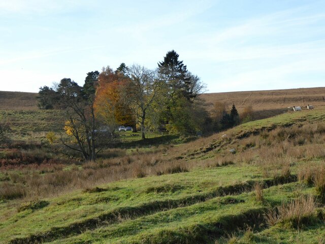
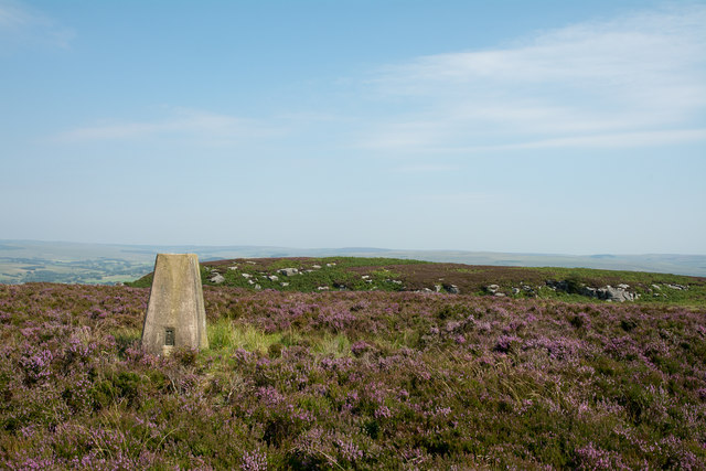
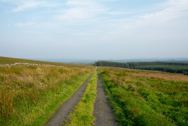
Watch Crags is a prominent hill located in the county of Northumberland, England. Situated within the picturesque Northumberland National Park, it forms part of the stunning Cheviot Hills range. With an elevation of approximately 424 meters (1,391 feet), it offers breathtaking panoramic views of the surrounding countryside.

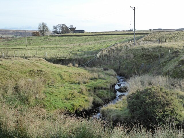
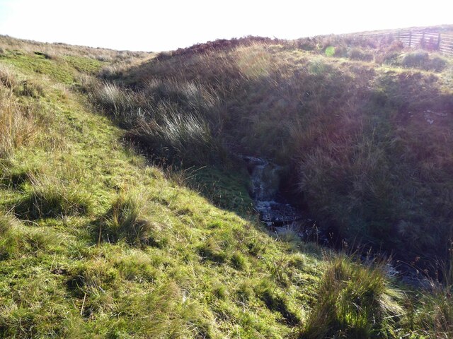
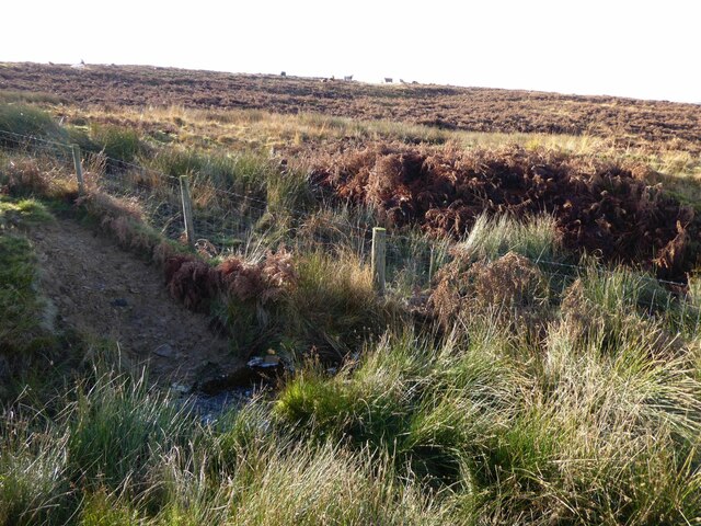
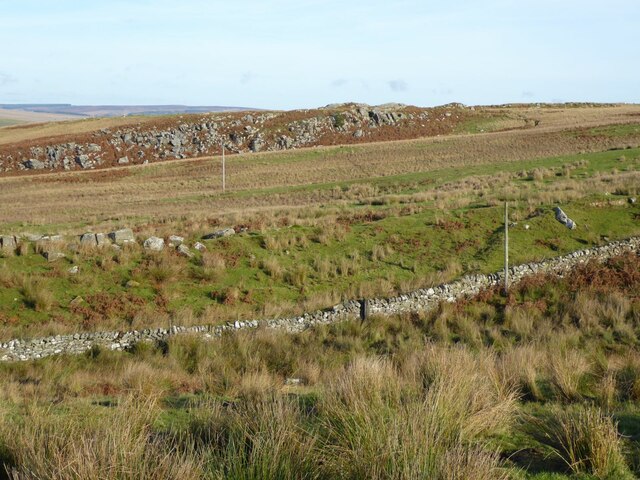
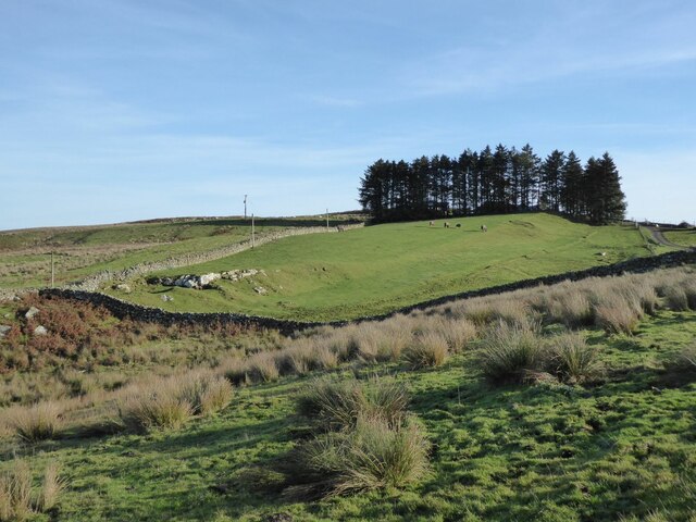
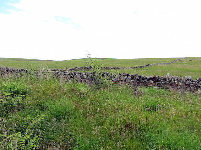
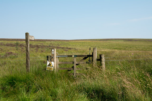
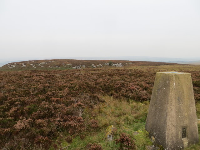
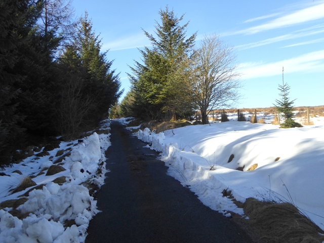
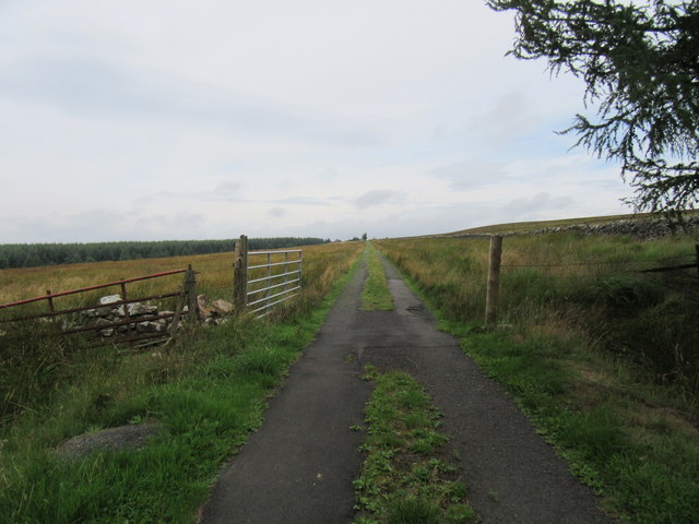
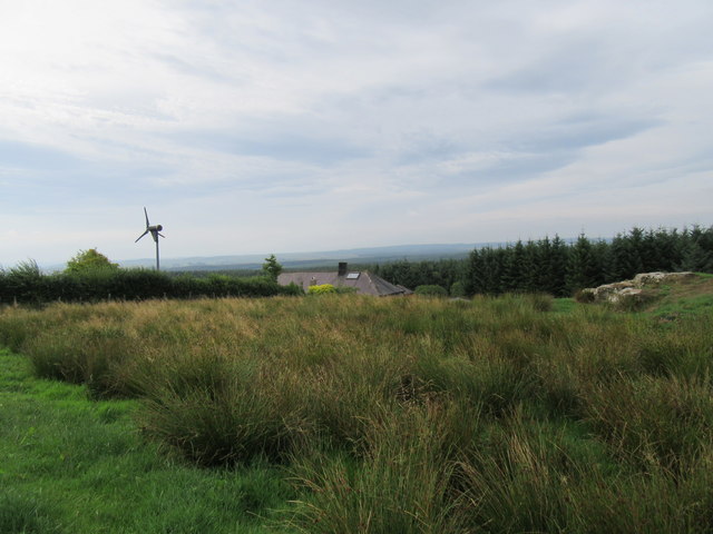
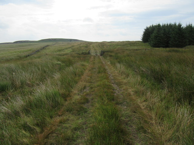
The hill is characterized by its rugged and rocky terrain, making it a popular destination for hikers, nature enthusiasts, and photographers. Its distinctive craggy summit provides a challenging climb for experienced walkers, while the well-maintained footpaths make it accessible to visitors of all abilities.

The diverse flora and fauna found on Watch Crags add to its appeal. The hill is home to a variety of plant species, including heather, bilberry, and bracken, which create a vibrant and colorful landscape. Furthermore, its exposed location attracts a wide range of birdlife, such as red grouse, curlews, and skylarks, making it a haven for birdwatchers.

In addition to its natural beauty, Watch Crags holds historical significance. The remains of an Iron Age hillfort can be found on its slopes, offering a glimpse into the area's ancient past. The hillfort, believed to have been constructed around 2,000 years ago, consists of a series of earthworks and ditches, providing an insight into the region's early settlements.

Overall, Watch Crags is a captivating destination that combines stunning natural scenery, challenging hikes, and rich historical heritage. Whether visitors are seeking outdoor adventures or simply a place to immerse themselves in nature, this Northumberland hill offers a memorable experience.

If you have any feedback on the listing, please let us know in the comments section below.
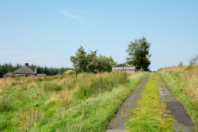
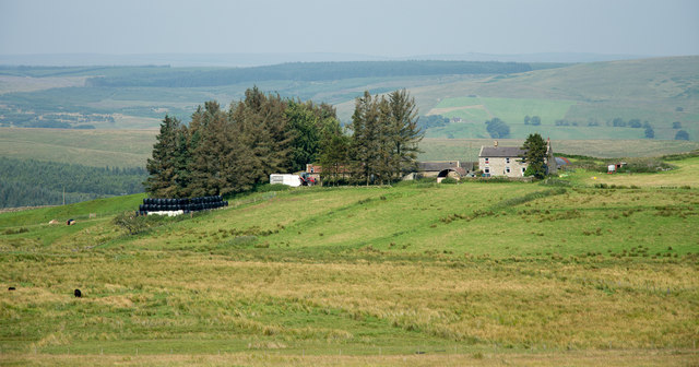
Watch Crags Images

Images are sourced within 2km of 55.132534/-2.3359843 or Grid Reference NY7882. Thanks to Geograph Open Source API. All images are credited.

Pit Cottages With their own shelterbelt.
Beside the High Carriteth Burn.
Sheep look on!
Pit Cottages
With their own shelterbelt. Beside the High Carriteth Burn. Sheep look on!
High Carriteth Burn With High Carriteth farm in the background.
High Carriteth Burn
With High Carriteth farm in the background.
Stream near Whitchester farm Flowing off Whitchester Moor.
Stream near Whitchester farm
Flowing off Whitchester Moor.
Cattle on Whitchester Moor With a stream running beside the fence.
Cattle on Whitchester Moor
With a stream running beside the fence.
Snabdaugh Crags Viewed from the track to Whitchester.
Snabdaugh Crags
Viewed from the track to Whitchester.
Whitchester hiding behind its shelter belt With crags intruding into the improved pasture.
Whitchester hiding behind its shelter belt
With crags intruding into the improved pasture.
Leaves of Butterbur on roadside, Border County Ride The leaves of Butterbur (Petasites hybridus) appear in April when the flowers begin to deacay <a href="https://www.geograph.org.uk/photo/776482">NJ3357 : Butterbur (Petasites hybridus)</a>. They are very large when full grown - the largest leaves of any plant in Great Britain - sometimes reaching 3 feet in diameter.
Leaves of Butterbur on roadside, Border County Ride
The leaves of Butterbur (Petasites hybridus) appear in April when the flowers begin to deacay NJ3357 : Butterbur (Petasites hybridus). They are very large when full grown - the largest leaves of any plant in Great Britain - sometimes reaching 3 feet in diameter.
Wall on Shitlington Common
Route of bridleway heading on to  Shitlington Common The gate by which the bridleway leaves the minor road to Watson's Walls.
Route of bridleway heading on to Shitlington Common
The gate by which the bridleway leaves the minor road to Watson's Walls.
Watson's Walls with minor road Watson's Walls is the house at the left side of the image. The already poorly surface and grass-grown  minor road passing deteriorates beyond this location and become a bridleway.
Watson's Walls with minor road
Watson's Walls is the house at the left side of the image. The already poorly surface and grass-grown minor road passing deteriorates beyond this location and become a bridleway.
Trig point of Watch Crags The trig point is on heather moorland which would probably be regarded as part of  Whitchester Moor. Watch Crags themselves occur in a number of bands, one being seen on the moorland rise in the middle-distance.
Trig point of Watch Crags
The trig point is on heather moorland which would probably be regarded as part of Whitchester Moor. Watch Crags themselves occur in a number of bands, one being seen on the moorland rise in the middle-distance.
Fields at Whitchester Whitchester is an isolated farm on  Whitchester Moor; it and its fields are surrounded by moorland.
Fields at Whitchester
Whitchester is an isolated farm on Whitchester Moor; it and its fields are surrounded by moorland.
Byway near to Watson's Walls The road is a byway and is approaching Watson's Walls, an isolated house which lies behind the camera position. At that house the road/byway ends but the route continues across moorland as a bridleway.
Byway near to Watson's Walls
The road is a byway and is approaching Watson's Walls, an isolated house which lies behind the camera position. At that house the road/byway ends but the route continues across moorland as a bridleway.
View of Watch Crags from the Triangulation Pillar Looking northward.
View of Watch Crags from the Triangulation Pillar
Looking northward.
Road to Watson's Walls Cul de sac road on the edge of Wark Forest. Snow from the snowstorm of March 2018 ("The Beast from the East") still lies in drifts.
Road to Watson's Walls
Cul de sac road on the edge of Wark Forest. Snow from the snowstorm of March 2018 ("The Beast from the East") still lies in drifts.
Road to Watson's Walls On the edge of Kielder Forest.
Road to Watson's Walls
On the edge of Kielder Forest.
Watson's Walls With wind turbine.
Watson's Walls
With wind turbine.
Bridleway on Whitchester Moor Looking SE.
Bridleway on Whitchester Moor
Looking SE.
Show me another place!

Watch Crags is located at Grid Ref: NY7882 (Lat: 55.132534, Lng: -2.3359843)

Unitary Authority: Northumberland

Police Authority: Northumbria

What 3 Words

///stutter.contrived.degree. Near Bellingham, Northumberland

Related Wikis

Dally Castle

Dally Castle is a ruined 13th-century stone motte-and-bailey fortress in Northumberland, and one of the first hall houses in Northumberland. It lies 5...

Hesleyside Hall

Hesleyside Hall is a privately owned 18th-century country house and the ancestral home of the Border reiver Charlton family about 2 miles (3 km) west of...

Tarset railway station

Tarset railway station served the civil parish of Tarset, Northumberland, England from 1862 to 1958 on the Border Counties Railway. == History == The station...

Tarset Castle

Tarset Castle is a ruin near Tarset in Northumberland. == History == A licence to crenellate was granted to John Comyn in 1267, and the castle was built...

Tarset

Tarset is a civil parish in Northumberland, England, created in 1955 from parts of Bellingham, Tarset West and Thorneyburn parishes. It is 4 miles (6 km...

Charlton (Northumberland) railway station

Charlton railway station served the village of Charlton, Northumberland, England from 1861 to 1862 on the Border Counties Railway. == History == The station...

Greystead

Greystead is a village and civil parish in Northumberland, England west of Bellingham. The population as of the 2011 census was less than 100. It shares...

Charlton, Northumberland

Charlton is a village in Northumberland, England. It is about 1.5 miles (2.4 km) to the northwest of Bellingham, on the River North Tyne. == Governance... ==

Nearby Amenities

Located within 500m of 55.132534,-2.3359843
Berry Hill
Place: locality
Lat/Long: 55.1355863/-2.3384048
Watch Crags
Place: locality
Lat/Long: 55.1333888/-2.335865
Natural: peak
Lat/Long: 55.1338402/-2.3348808
The data included in this document is from www.openstreetmap.org. The data is made available under ODbL.

Have you been to Watch Crags?

Leave your review of Watch Crags below (or comments, questions and feedback).