Red Hill
Hill, Mountain in Staffordshire Newcastle-under-Lyme
England
Red Hill

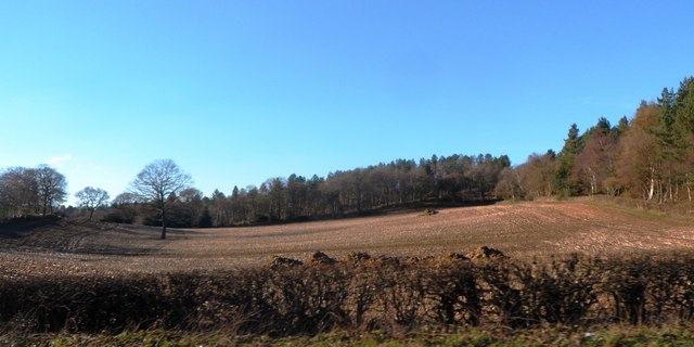
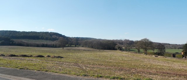
Red Hill is a prominent geographical feature located in the county of Staffordshire, England. It is a hill, rather than a mountain, but it still stands out due to its elevation and distinctive appearance. Rising to a height of approximately 200 meters above sea level, Red Hill offers breathtaking panoramic views of the surrounding landscape.
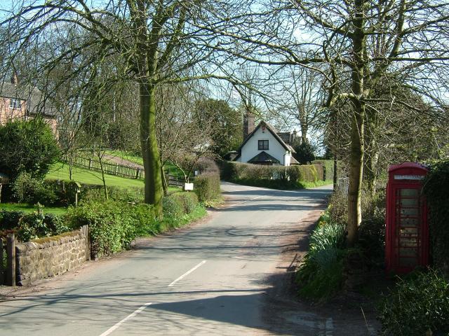
Situated in close proximity to the village of Norton Canes, Red Hill is easily accessible and attracts visitors from both near and far. The hill is primarily composed of red sandstone, which gives it its name and contributes to its striking reddish hue. Its slopes are covered in a mix of grasses, heather, and occasional shrubs, creating a diverse and picturesque natural environment.
Red Hill is a popular destination for hikers, nature enthusiasts, and those seeking outdoor recreational activities. Several footpaths traverse the hill, allowing visitors to explore its various vantage points and appreciate the stunning vistas it offers. The hill is also home to a variety of wildlife, including birds, insects, and small mammals, making it a haven for nature lovers.
Aside from its natural beauty, Red Hill has historical significance. It is believed to have been an ancient burial ground, with archaeological evidence suggesting human activity dating back thousands of years. The hill's location near the historic Roman road of Watling Street adds to its historical intrigue.
In conclusion, Red Hill in Staffordshire is a visually striking hill that offers stunning views, diverse flora and fauna, and a glimpse into the past. It is a popular destination for outdoor enthusiasts and a place where nature and history intersect harmoniously.
If you have any feedback on the listing, please let us know in the comments section below.
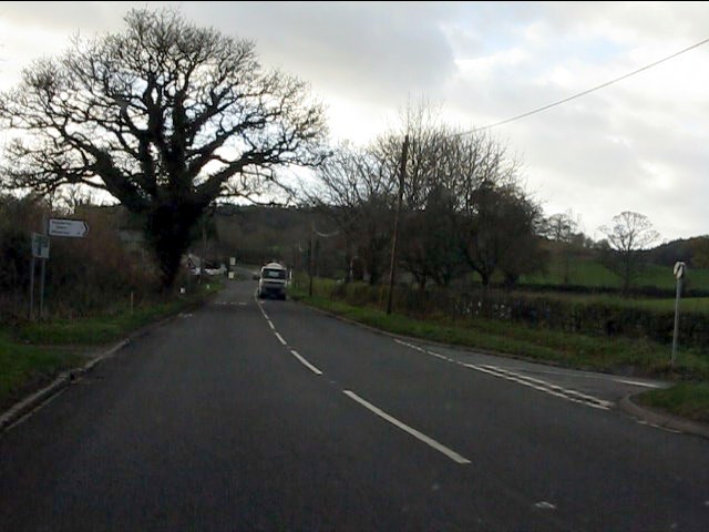
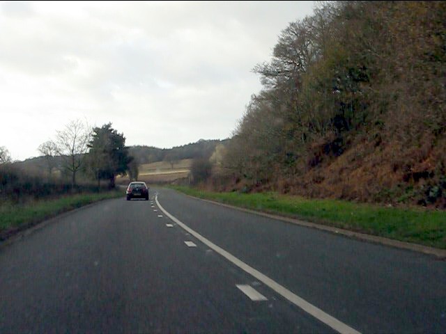
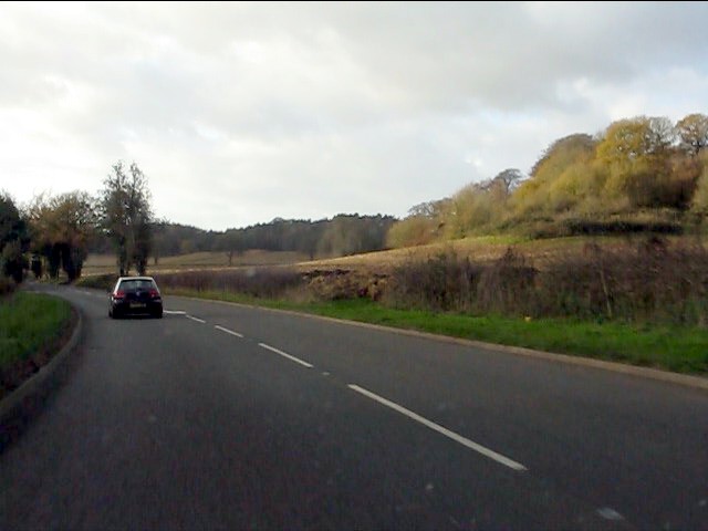
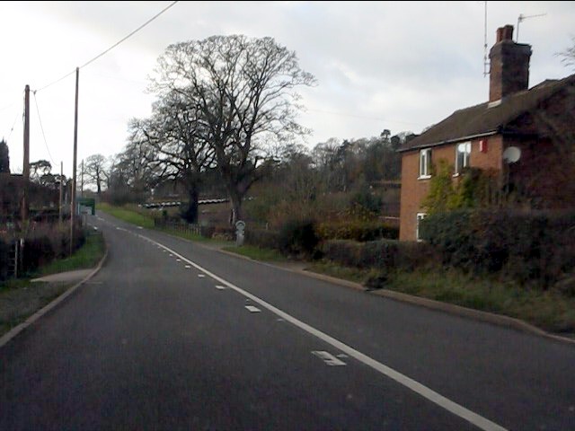
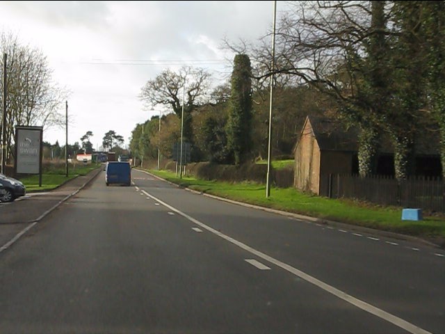
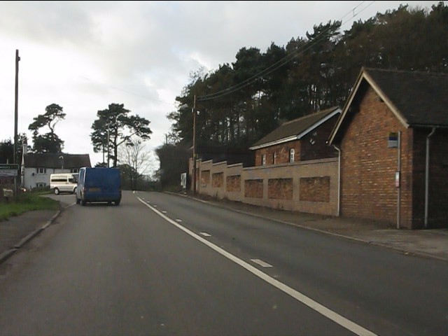
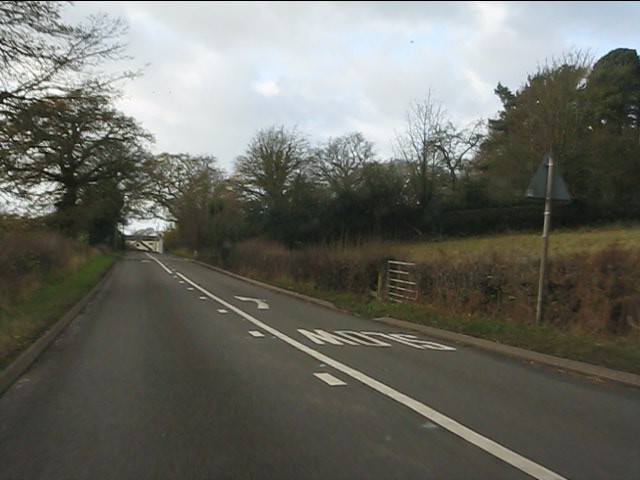
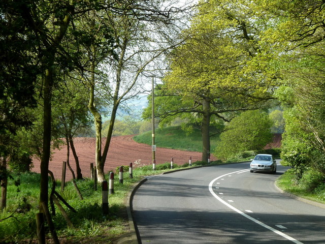
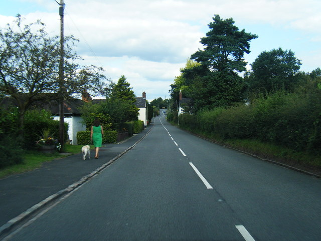
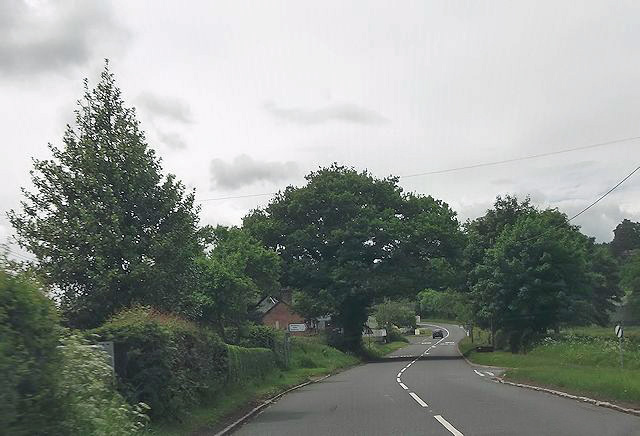
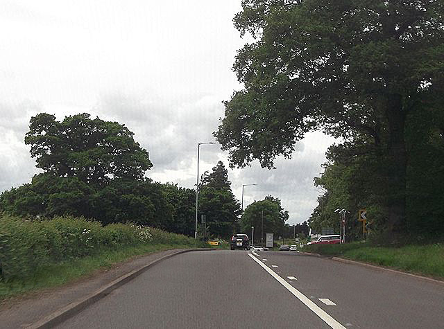
Red Hill Images
Images are sourced within 2km of 52.95191/-2.3189051 or Grid Reference SJ7839. Thanks to Geograph Open Source API. All images are credited.


Red Hill is located at Grid Ref: SJ7839 (Lat: 52.95191, Lng: -2.3189051)
Administrative County: Staffordshire
District: Newcastle-under-Lyme
Police Authority: Staffordshire
What 3 Words
///panther.harmonica.jeering. Near Standon, Staffordshire
Nearby Locations
Related Wikis

Berth Hill
Berth Hill is an Iron Age hillfort in Staffordshire, England, about 5 miles (8.0 km) south-west of Newcastle-under-Lyme, and near the village of Maer....
Maer, Staffordshire
Maer is a rural village and civil parish in the Borough of Newcastle-under-Lyme, Staffordshire, England, to the west of the pottery manufacturing town...

Maer Hall
Maer Hall is a large Grade II listed 17th-century country house in Maer, Staffordshire, set in a park which is listed Grade II in Historic England's Register...
Baldwin's Gate
Baldwin's Gate is a village in the Borough of Newcastle-under-Lyme in Staffordshire. The population details for the 2011 census can be found under Whitmore...
Whitmore railway station
Whitmore was a station serving the village of Whitmore, Staffordshire. == History == The station opened onto the Grand Junction Railway in 1837: 41 when...
Newcastle-under-Lyme Rural District
Newcastle-under-Lyme Rural District was a rural district in the county of Staffordshire. It was formed in 1894 with the civil parishes of Ashley, Audley...
Whitmore, Staffordshire
Whitmore is a village and small curacy in the county of Staffordshire, England, near Newcastle-under-Lyme. The name Whitmore can be found in the Domesday...
Madeley Road railway station
Madeley Road railway station is a disused railway station in Staffordshire, England. The Stoke to Market Drayton Line was opened by the North Staffordshire...
Nearby Amenities
Located within 500m of 52.95191,-2.3189051Have you been to Red Hill?
Leave your review of Red Hill below (or comments, questions and feedback).