Berry Hill
Hill, Mountain in Staffordshire Newcastle-under-Lyme
England
Berry Hill

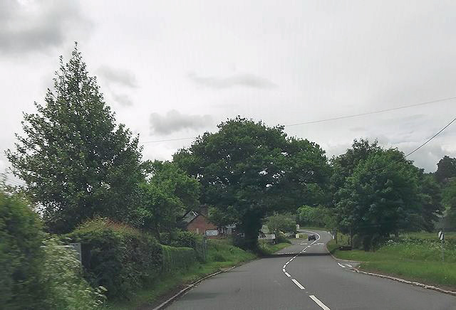
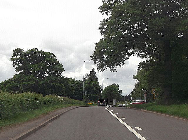
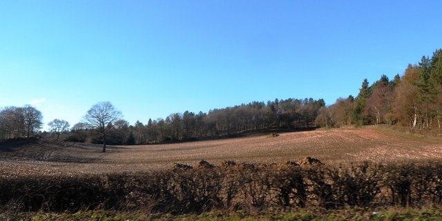
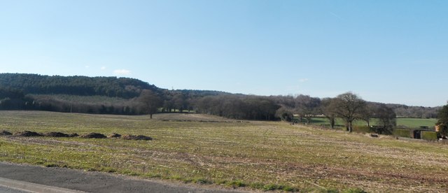
Berry Hill is a picturesque hill located in the county of Staffordshire, England. Situated in the district of Newcastle-under-Lyme, Berry Hill is part of the wider Staffordshire Moorlands and stands at an elevation of approximately 242 meters (794 feet) above sea level. It forms part of the Peak District National Park, renowned for its stunning natural beauty and diverse wildlife.
The hill is characterized by its rolling landscape, lush greenery, and panoramic views of the surrounding countryside. It is covered in a mix of grassland and scattered trees, creating a tranquil and scenic environment for visitors and locals alike. The area is a popular destination for outdoor enthusiasts, offering various recreational activities such as hiking, walking, and picnicking.
One of the notable features of Berry Hill is its proximity to the historic market town of Leek, which lies just to the east. This allows visitors to easily access amenities and services while enjoying the peacefulness of the hill. Additionally, the hill is surrounded by charming villages and hamlets, adding to the rural charm of the area.
Berry Hill is not only a haven for nature lovers but also a site of historical significance. It is believed to have been settled since prehistoric times, with evidence of ancient burial mounds discovered in the vicinity. The area also boasts a rich industrial heritage, with remnants of old lead mines and quarries dotting the landscape.
Overall, Berry Hill in Staffordshire is a captivating destination that seamlessly combines natural beauty, recreational opportunities, and historical intrigue, making it a must-visit location for those seeking a slice of rural charm in the heart of England.
If you have any feedback on the listing, please let us know in the comments section below.
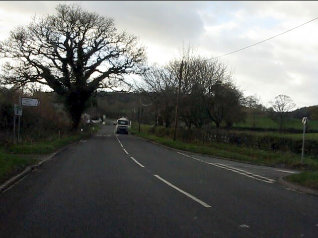
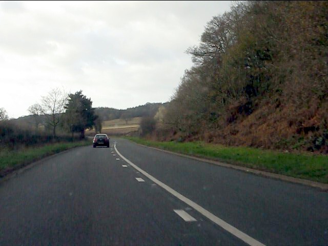
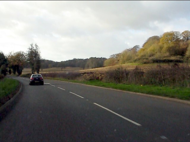
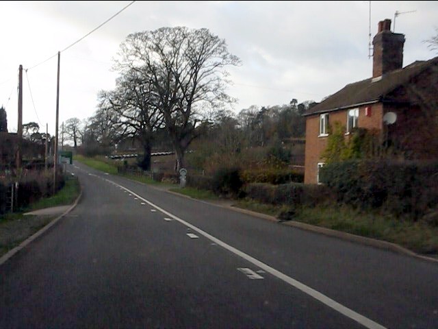
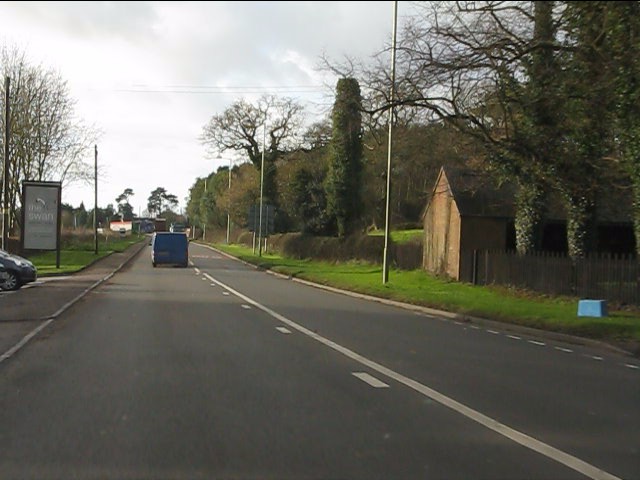
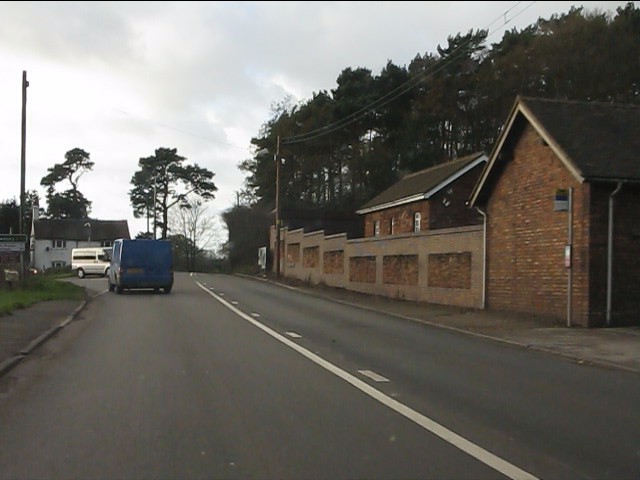
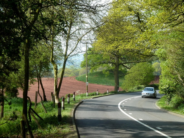
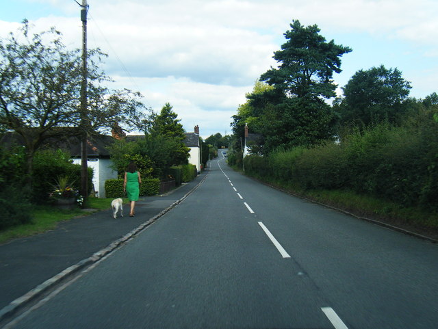
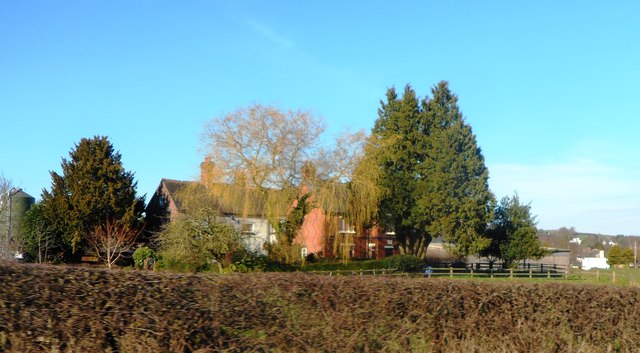
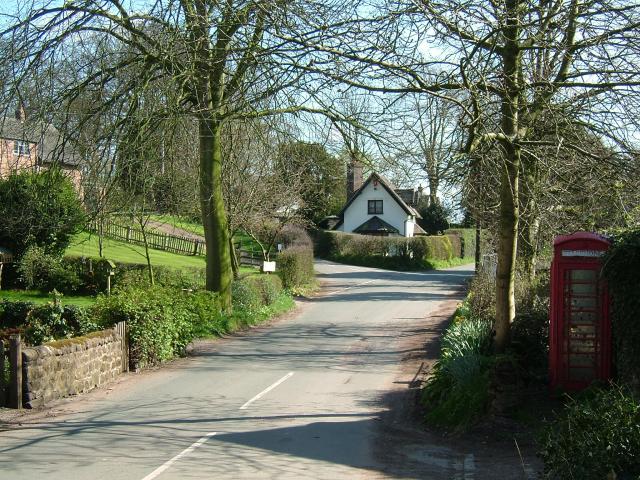
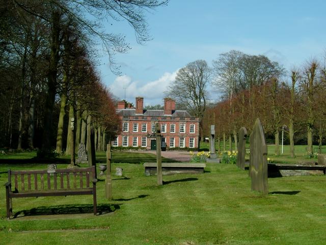
Berry Hill Images
Images are sourced within 2km of 52.952187/-2.3162281 or Grid Reference SJ7839. Thanks to Geograph Open Source API. All images are credited.


Berry Hill is located at Grid Ref: SJ7839 (Lat: 52.952187, Lng: -2.3162281)
Administrative County: Staffordshire
District: Newcastle-under-Lyme
Police Authority: Staffordshire
What 3 Words
///nuggets.skyrocket.tastings. Near Standon, Staffordshire
Nearby Locations
Related Wikis

Berth Hill
Berth Hill is an Iron Age hillfort in Staffordshire, England, about 5 miles (8.0 km) south-west of Newcastle-under-Lyme, and near the village of Maer....
Baldwin's Gate
Baldwin's Gate is a village in the Borough of Newcastle-under-Lyme in Staffordshire. The population details for the 2011 census can be found under Whitmore...

Maer Hall
Maer Hall is a large Grade II listed 17th-century country house in Maer, Staffordshire, set in a park which is listed Grade II in Historic England's Register...
Whitmore railway station
Whitmore was a station serving the village of Whitmore, Staffordshire. == History == The station opened onto the Grand Junction Railway in 1837: 41 when...
Maer, Staffordshire
Maer is a rural village and civil parish in the Borough of Newcastle-under-Lyme, Staffordshire, England, to the west of the pottery manufacturing town...
Newcastle-under-Lyme Rural District
Newcastle-under-Lyme Rural District was a rural district in the county of Staffordshire. It was formed in 1894 with the civil parishes of Ashley, Audley...
Whitmore, Staffordshire
Whitmore is a village and small curacy in the county of Staffordshire, England, near Newcastle-under-Lyme. The name Whitmore can be found in the Domesday...
Whitmore Hall
Whitmore Hall is the home of the Cavenagh-Mainwaring family at Whitmore, Staffordshire. A Grade I listed building, the hall was designated a house of...
Related Videos

Tarp setups with Walking poles/Tarp camping/Wild camping
Another in the series of tarp setups. This time I used my walking/hiking poles. These setups can work with sticks as well.

Hammock day camp | Portable ham radio | ex-military radio | Yaesu FT3D
Good to get outdoors and even though it was a day camp not overnight, I enjoyed relaxing on the hammock and operating the ...
Nearby Amenities
Located within 500m of 52.952187,-2.3162281Have you been to Berry Hill?
Leave your review of Berry Hill below (or comments, questions and feedback).