Nanny's Hill

Hill, Mountain in Northumberland

England

Nanny's Hill

Sheepfold near East Stonefolds
Sheepfold near East Stonefolds Credit: Andrew Curtis

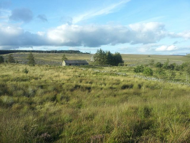
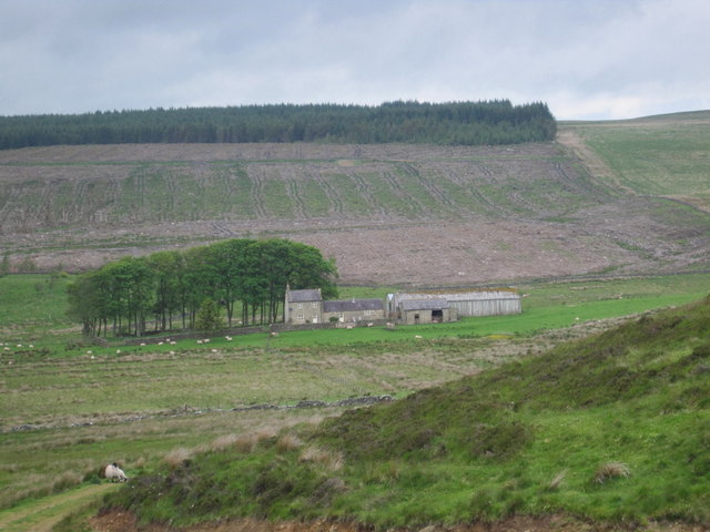
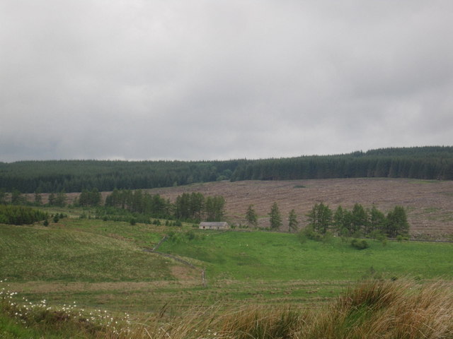
Nanny's Hill is a prominent hill located in Northumberland, England. Standing at a height of approximately 330 meters, it offers stunning panoramic views of the surrounding countryside. The hill is a popular destination for hikers and nature enthusiasts, as it provides a challenging yet rewarding trek to the summit.

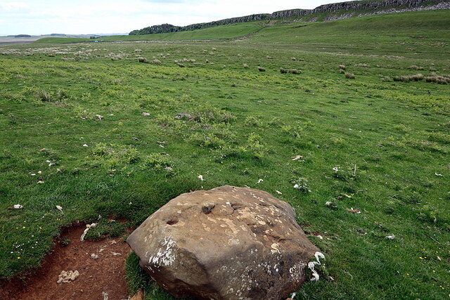
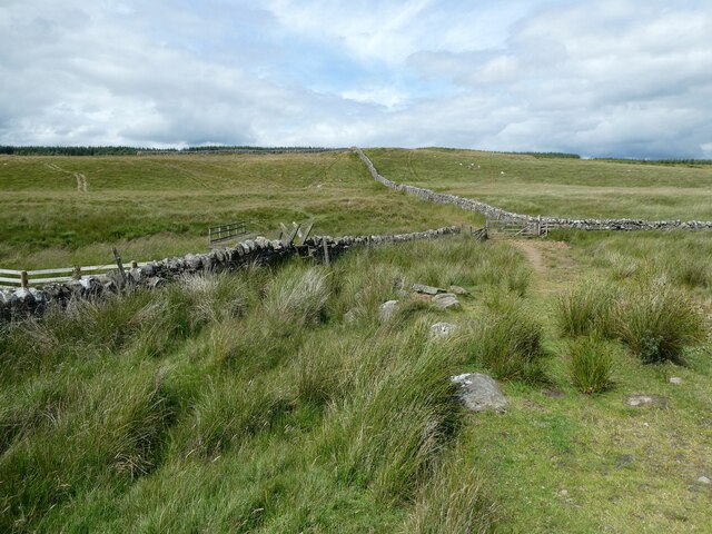
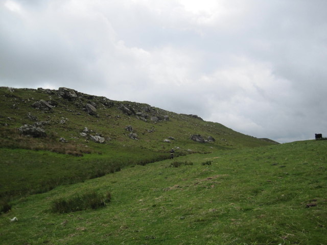
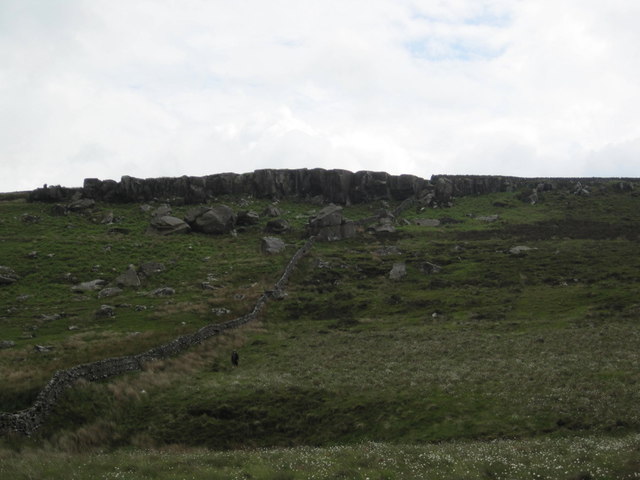
Nanny's Hill is known for its rugged terrain, with rocky outcrops and steep slopes making the ascent a thrilling adventure. The hill is covered in lush green vegetation, including heather, grasses, and wildflowers, creating a picturesque backdrop for visitors to enjoy.

At the top of Nanny's Hill, visitors are treated to breathtaking views of the Northumberland countryside, with rolling hills, valleys, and distant mountains stretching out as far as the eye can see. On a clear day, it is possible to see as far as the North Sea from the summit.

Overall, Nanny's Hill is a must-visit destination for those looking to experience the natural beauty and rugged landscape of Northumberland. Whether you are an experienced hiker or simply looking for a scenic spot to enjoy a picnic, Nanny's Hill has something to offer for everyone.

If you have any feedback on the listing, please let us know in the comments section below.
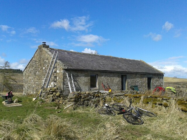
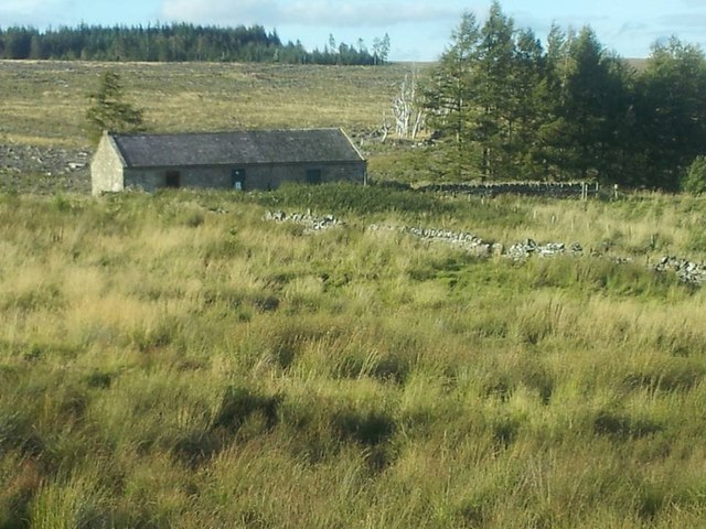
Nanny's Hill Images

Images are sourced within 2km of 55.029437/-2.3324143 or Grid Reference NY7870. Thanks to Geograph Open Source API. All images are credited.

Sheepfold near East Stonefolds
Boulder north of Sewingshields Crags The boulder located next to the earthwork remains of an Iron Age enclosed settlement has several possible prehistoric cup-marks and quarry wedges cut in a failed attempt (possibly as early as Roman times) to break it up.
Boulder north of Sewingshields Crags
The boulder located next to the earthwork remains of an Iron Age enclosed settlement has several possible prehistoric cup-marks and quarry wedges cut in a failed attempt (possibly as early as Roman times) to break it up.
The Pennine Way near Cragend
The Pennine Way near East Stonefolds
The alternative Pennine Way near Brown Rigg The Pennine Way had been diverted because of storm damage earlier in 2022.
The alternative Pennine Way near Brown Rigg
The Pennine Way had been diverted because of storm damage earlier in 2022.
Maintenance Work at Haughtongreen Haughtongreen is a basic shelter cared for by volunteers of the Mountain Bothies Association with permission of the landowner. On the weekend this photo was taken maintenance work was underway, with several MBA volunteers working on the interior and exterior.
Maintenance Work at Haughtongreen
Haughtongreen is a basic shelter cared for by volunteers of the Mountain Bothies Association with permission of the landowner. On the weekend this photo was taken maintenance work was underway, with several MBA volunteers working on the interior and exterior.
Track on the moor Quad bike track and carrying a path.
Track on the moor
Quad bike track and carrying a path.
Path across moorland We have this path all to ourselves.
Path across moorland
We have this path all to ourselves.
National Trail waymarker acorn on the Pennine Way near East Stonefolds farm The patina of weathering caught my eye.
National Trail waymarker acorn on the Pennine Way near East Stonefolds farm
The patina of weathering caught my eye.
Walking near East Stonefolds A farmyard has to be traversed. No problem as it turned out. My ninja lead scout assesses the lie of the land, the likely presence of a one-eyed farm dog, the restlessness of the native population and the nearest exit points as we approach. I relax in the resulting cocoon of ever vigilant protectiveness and follow along safe in the knowledge that the best nose in the business is constantly whiffling the wind in front of me, a pair of never-resting beady peepers are scanning windows, doors, gateways and cracks in fences for any attempt to repel boarders and we pass through like two shadows with barely a creak of boot leather, a scent of sweaty oxter and are soon through and approaching a second farmstead.
Walking near East Stonefolds
A farmyard has to be traversed. No problem as it turned out. My ninja lead scout assesses the lie of the land, the likely presence of a one-eyed farm dog, the restlessness of the native population and the nearest exit points as we approach. I relax in the resulting cocoon of ever vigilant protectiveness and follow along safe in the knowledge that the best nose in the business is constantly whiffling the wind in front of me, a pair of never-resting beady peepers are scanning windows, doors, gateways and cracks in fences for any attempt to repel boarders and we pass through like two shadows with barely a creak of boot leather, a scent of sweaty oxter and are soon through and approaching a second farmstead.
Barns at East Stonefold Nice old barns.
Barns at East Stonefold
Nice old barns.
Path detouring around West Stonefold farm This farm is boxed around by the path now.
Path detouring around West Stonefold farm
This farm is boxed around by the path now.
Haughtongreen bothy Haughtongreen bothy in Wark Forest.
Haughtongreen bothy
Haughtongreen bothy in Wark Forest.
Haughtongreen bothy Haughtongreen bothy, Wark Forest; lovely little place to stay.
Haughtongreen bothy
Haughtongreen bothy, Wark Forest; lovely little place to stay.
King's Crags
King's Crags
Queen's Crags
Queen's Crags
East Hotbank Farm
East Hotbank Farm
Haughtongreen Mountain Bothy
Show me another place!

Nanny's Hill is located at Grid Ref: NY7870 (Lat: 55.029437, Lng: -2.3324143)

Unitary Authority: Northumberland

Police Authority: Northumbria

What 3 Words

///drawn.ducks.today. Near Bardon Mill, Northumberland

Nearby Locations

Nanny's Hill

Related Wikis

Broomlee Lough

Broomlee Lough is an inland lake in Northumberland, England at the southern edge of Northumberland National Park. The lough lies immediately north of the...

Milecastle 36

Milecastle 36 (King's Hill) was one of the milecastles on Hadrian's Wall (grid reference NY79726931). There is little to see on the ground as most of the...

Knag Burn Gateway

The Knag Burn Gateway is a gateway which was built into Hadrian's Wall some time after construction of the wall itself, generally acknowledged to be during...

Milecastle 35

Milecastle 35 (Sewingshields) is one of the milecastles on Hadrian's Wall (grid reference NY80497018). The remains still exist as exposed masonry. ��2...

Nearby Amenities

Located within 500m of 55.029437,-2.3324143
Nanny's Hill
Ele: 280
Natural: peak
Lat/Long: 55.0299838/-2.3303461
The data included in this document is from www.openstreetmap.org. The data is made available under ODbL.

Have you been to Nanny's Hill?

Leave your review of Nanny's Hill below (or comments, questions and feedback).