The Kip
Hill, Mountain in Roxburghshire
Scotland
The Kip
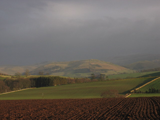
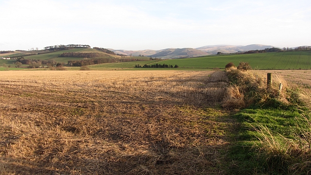
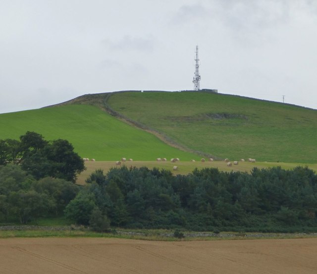
The Kip is a prominent hill located in Roxburghshire, Scotland. Situated in the southern part of the county, it is part of the wider Cheviot Hills range. The Kip stands at an impressive height of 705 meters (2,313 feet) above sea level, making it one of the highest peaks in the region.
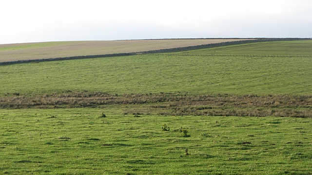
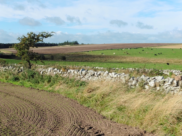
The hill is known for its rugged and wild beauty, with its steep slopes covered in heather and grasses. It offers breathtaking panoramic views of the surrounding landscapes, including the rolling hills, valleys, and rivers that define this picturesque region of Scotland.
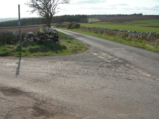
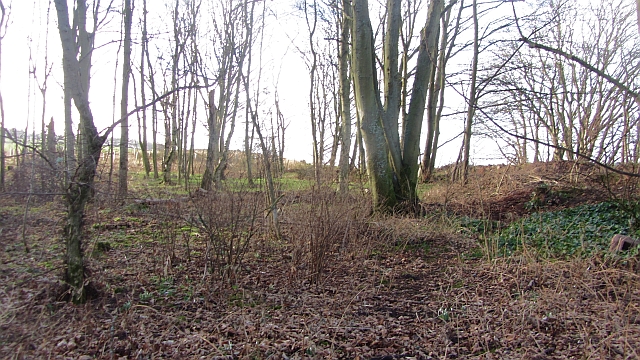
The Kip is a popular destination for outdoor enthusiasts, attracting hikers, nature lovers, and birdwatchers. There are several well-marked trails that lead to the summit, providing varied levels of difficulty for different skill levels. Along the way, visitors can enjoy the diverse flora and fauna that thrive in this natural habitat, including red grouse, peregrine falcons, and wildflowers.
The hill also holds historical significance, as it was once used as a lookout point during conflicts between Scotland and England. Ruins of an ancient hillfort can still be found on its slopes, providing a glimpse into its past.
Overall, The Kip is a captivating destination for those seeking a challenging hike, stunning scenery, and a connection to the region's rich history. Whether exploring its trails, admiring its wildlife, or simply taking in its awe-inspiring views, The Kip offers a memorable experience for all who visit.
If you have any feedback on the listing, please let us know in the comments section below.
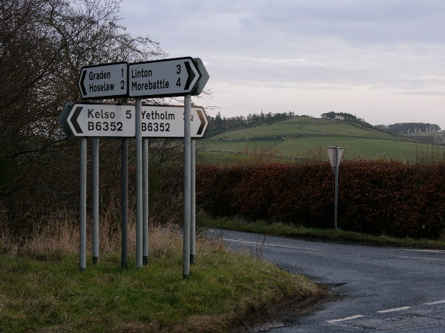
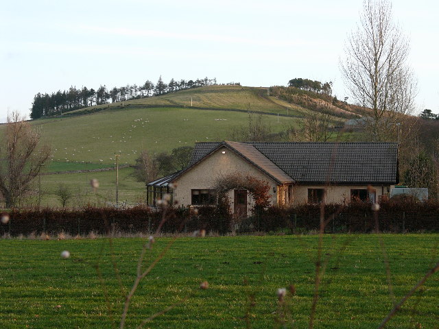
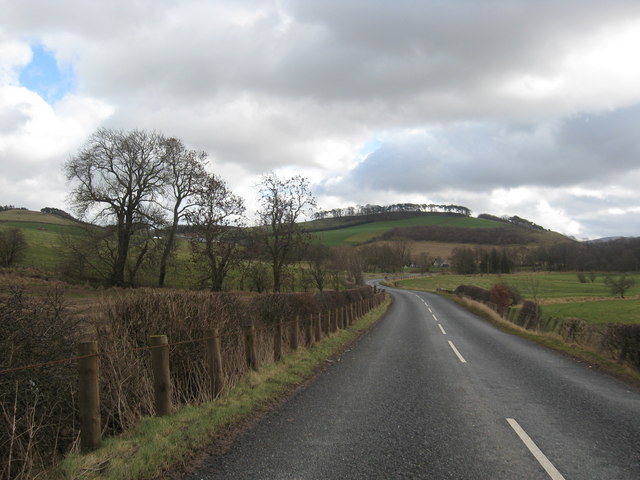
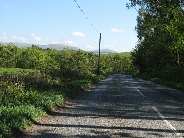
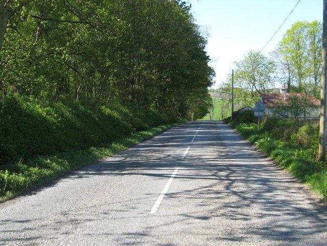
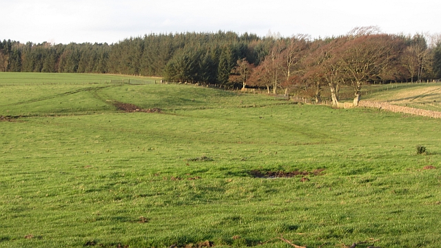
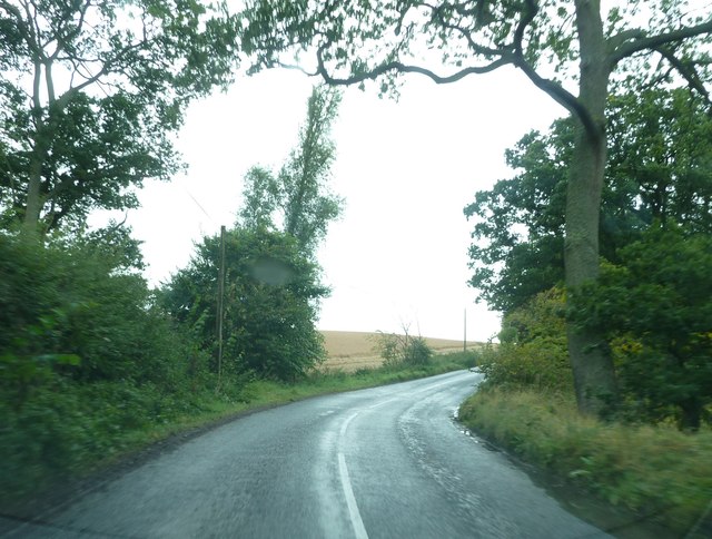
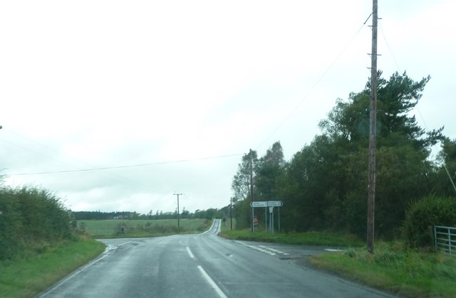
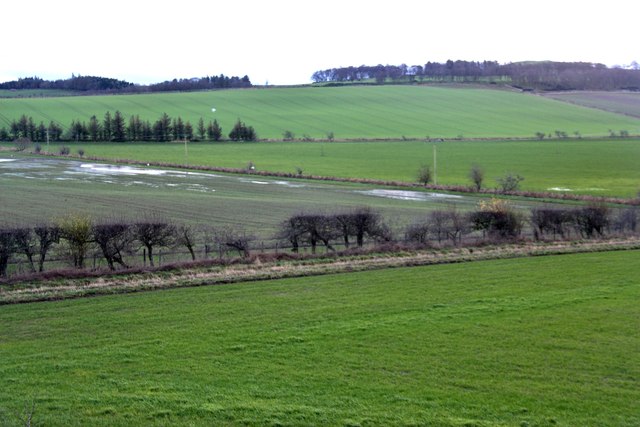
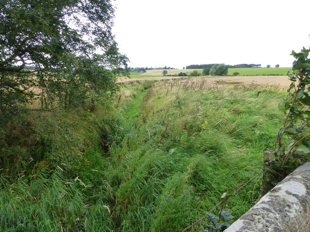
The Kip Images
Images are sourced within 2km of 55.57201/-2.3409025 or Grid Reference NT7830. Thanks to Geograph Open Source API. All images are credited.

The Kip is located at Grid Ref: NT7830 (Lat: 55.57201, Lng: -2.3409025)
Unitary Authority: The Scottish Borders
Police Authority: The Lothians and Scottish Borders
What 3 Words
///launch.cubs.punters. Near Maxwellheugh, Scottish Borders
Nearby Locations
Related Wikis

Lempitlaw
Lempitlaw is a hamlet, former parish and former feudal barony in the Scottish Borders area of Scotland, as well as the historic county of Roxburghshire...

Hoselaw Loch and Din Moss
Hoselaw Loch and Din Moss is a nature reserve near Kelso in the Scottish Borders area of Scotland, in the former Roxburghshire. The reserve is designated...

Yetholm Loch
Yetholm Loch is a loch near Kelso, in the Scottish Borders area of Scotland, in the former Roxburghshire.There was a tower on an island in Yetholm Loch...
Battle of Haddon Rig
The Battle of Hadden Rig was a battle fought about three miles east of Kelso, in the Scottish Borders, between Scotland and England on 24 August 1542,...
Nearby Amenities
Located within 500m of 55.57201,-2.3409025Have you been to The Kip?
Leave your review of The Kip below (or comments, questions and feedback).