Ferretburn Plantation

Wood, Forest in Roxburghshire

Scotland

Ferretburn Plantation

Signpost And, in the background, the foothills of The Cheviots
Signpost Credit: Irvine Smith

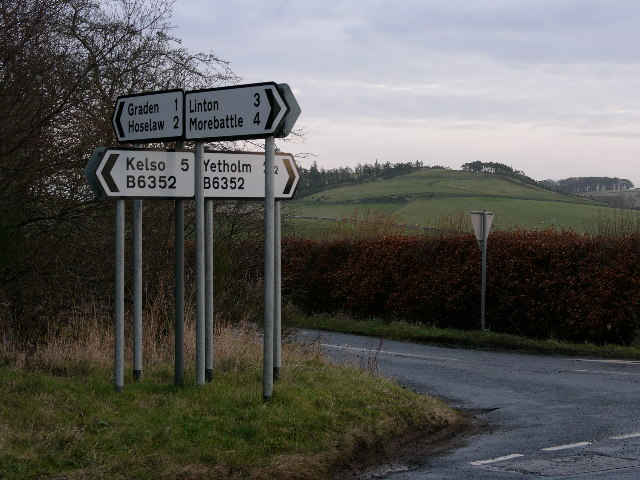
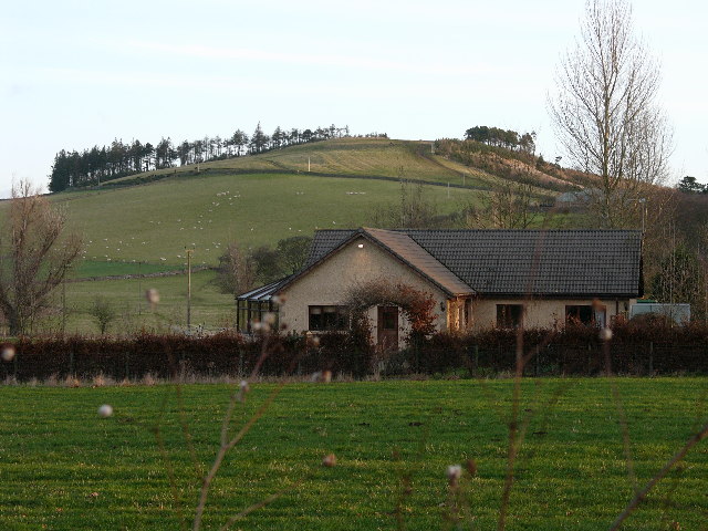
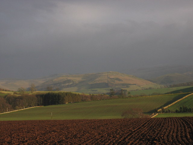
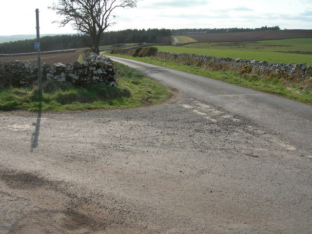
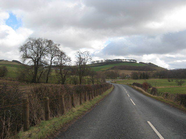
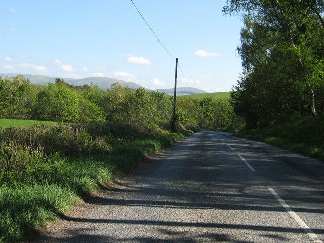
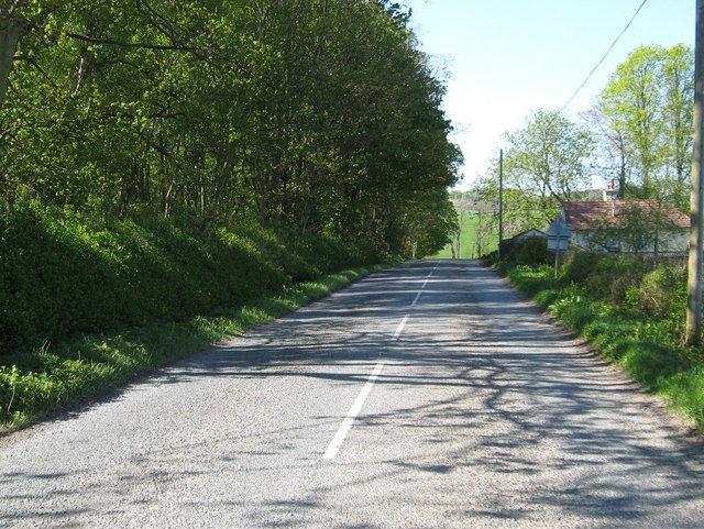
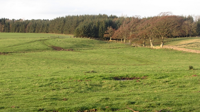
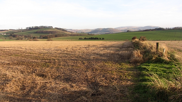
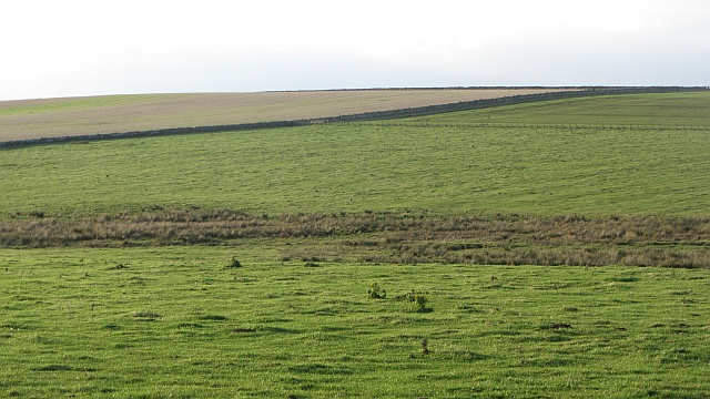
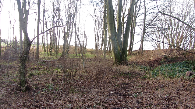
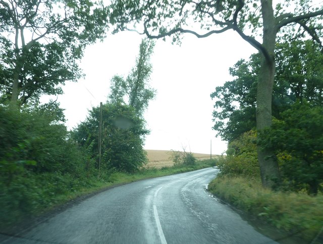
Ferretburn Plantation is a picturesque woodland located in the region of Roxburghshire, Scotland. Situated near the town of Kelso, this plantation covers an expansive area of lush greenery and is renowned for its diverse range of trees and wildlife.

The woodland is predominantly composed of native Scottish species, including oak, birch, and Scots pine, which provide a rich and varied ecosystem. The dense canopy formed by these trees creates a cool and shaded environment, making it a popular destination for nature enthusiasts and hikers.

Ferretburn Plantation is home to a wide array of wildlife, including various bird species such as woodpeckers, owls, and pheasants. The woodland also provides a habitat for mammals such as red squirrels, badgers, and deer, offering visitors the opportunity to observe these creatures in their natural surroundings.

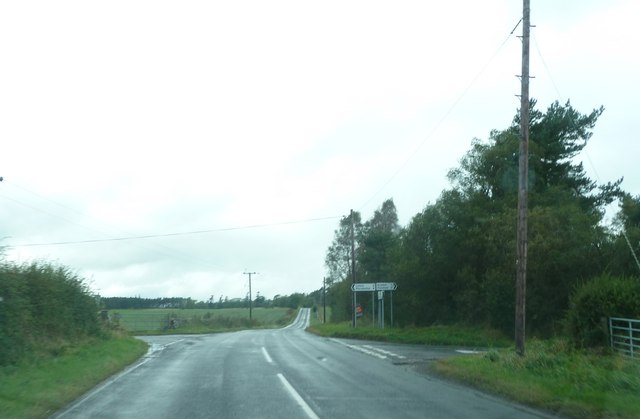
Visitors to Ferretburn Plantation can explore its numerous walking trails, which wind their way through the woodland, offering stunning views of the surrounding countryside. These trails are well-maintained and suitable for individuals of all ages and fitness levels.

Additionally, the plantation is equipped with picnic areas and benches, allowing visitors to relax and enjoy the tranquil atmosphere. The plantation is also a popular spot for photography enthusiasts, who can capture the beauty of the woodland and its inhabitants.

Overall, Ferretburn Plantation is a haven of natural beauty and biodiversity, offering visitors a peaceful escape from the hustle and bustle of everyday life.

If you have any feedback on the listing, please let us know in the comments section below.

Ferretburn Plantation Images

Images are sourced within 2km of 55.56408/-2.3395971 or Grid Reference NT7830. Thanks to Geograph Open Source API. All images are credited.

Signpost And, in the background, the foothills of The Cheviots
Signpost
And, in the background, the foothills of The Cheviots
Bungalow Looking towards Old Graden, on the Kelso/Yetholm road
Bungalow
Looking towards Old Graden, on the Kelso/Yetholm road
Staerough
Staerough
Minor road junction near Greenlees
Rocky Outcrop / Quarry
View over cropped field towards Linton Hill
The B6352 heading for Yetholm Through the hills and pastures of Roxburghshire.
The B6352 heading for Yetholm
Through the hills and pastures of Roxburghshire.
The B6352 heading for Yetholm From Kelso in Roxburghshire.
The B6352 heading for Yetholm
From Kelso in Roxburghshire.
Looking back on the B6352 in Roxburghshire Near Old Graden.
Looking back on the B6352 in Roxburghshire
Near Old Graden.
Quarry A small quarry which appears to be still in use at times.
Quarry
A small quarry which appears to be still in use at times.
Sheep on kale The sheep have nearly finished off this field of kale.
Sheep on kale
The sheep have nearly finished off this field of kale.
Linton Hill The north side of Linton Hill.
Linton Hill
The north side of Linton Hill.
Grassland and woods near Linton Highish farmland between Kelso and the real hill country of the Cheviot.
Grassland and woods near Linton
Highish farmland between Kelso and the real hill country of the Cheviot.
Stubble, Greenlees Arable land, quite high up, with a view of the Cheviot Hills.
Stubble, Greenlees
Arable land, quite high up, with a view of the Cheviot Hills.
Grassland near Linton
Woodland, Old Graden A roadside strip, opposite the entrance to Old Graden. There were flowering snowdrops here.
Woodland, Old Graden
A roadside strip, opposite the entrance to Old Graden. There were flowering snowdrops here.
Bend on the B6352 near Thirlstane Hill
Crossroads on the B6352
Show me another place!

Ferretburn Plantation is located at Grid Ref: NT7830 (Lat: 55.56408, Lng: -2.3395971)

Unitary Authority: The Scottish Borders

Police Authority: The Lothians and Scottish Borders

What 3 Words

///solicitor.lunging.tomato. Near Maxwellheugh, Scottish Borders

Related Wikis

Yetholm Loch

Yetholm Loch is a loch near Kelso, in the Scottish Borders area of Scotland, in the former Roxburghshire.There was a tower on an island in Yetholm Loch...

Hoselaw Loch and Din Moss

Hoselaw Loch and Din Moss is a nature reserve near Kelso in the Scottish Borders area of Scotland, in the former Roxburghshire. The reserve is designated...

Lempitlaw

Lempitlaw is a hamlet, former parish and former feudal barony in the Scottish Borders area of Scotland, as well as the historic county of Roxburghshire...

Linton, Scottish Borders

Linton is a small village in the Scottish Borders area of Scotland. It is situated a mile north of the village of Morebattle. == History == People have...

Nearby Amenities

Located within 500m of 55.56408,-2.3395971
Greenlees Crossroads
Naptan AtcoCode: 69001388
Naptan Bearing: W
Naptan BusStopType: CUS
Naptan CommonName: Greenlees Crossroads
Naptan Indicator: W-Bound
Naptan Landmark: Greenlees Cross Roads
Naptan NaptanCode: 72726858
Naptan Street: B6352
Naptan Verified: no
Source: naptan_import
Lat/Long: 55.5629708/-2.3410987
Greenlees Crossroads
Naptan AtcoCode: 69001389
Naptan Bearing: E
Naptan BusStopType: CUS
Naptan CommonName: Greenlees Crossroads
Naptan Indicator: E-Bound
Naptan Landmark: Greenlees Cross Roads
Naptan NaptanCode: 72726837
Naptan Street: B6352
Naptan Verified: no
Source: naptan_import
Lat/Long: 55.5630793/-2.3408777
Power: pole
Lat/Long: 55.5607277/-2.3356453
Power: pole
Lat/Long: 55.5611666/-2.3365044
Power: pole
Lat/Long: 55.5616789/-2.336967
Power: pole
Lat/Long: 55.5624662/-2.3376833
Power: pole
Lat/Long: 55.5626048/-2.3387705
Power: pole
Lat/Long: 55.5627471/-2.3398705
Power: pole
Lat/Long: 55.5629653/-2.340525
Power: pole
Lat/Long: 55.5632679/-2.3407936
Power: pole
Lat/Long: 55.5637465/-2.3415909
Power: pole
Lat/Long: 55.564266/-2.3425651
Power: pole
Lat/Long: 55.5648073/-2.3435287
Power: pole
Lat/Long: 55.5651786/-2.3449549
Power: pole
Lat/Long: 55.5655149/-2.3463256
The data included in this document is from www.openstreetmap.org. The data is made available under ODbL.

Have you been to Ferretburn Plantation?

Leave your review of Ferretburn Plantation below (or comments, questions and feedback).