Graden Moor
Downs, Moorland in Roxburghshire
Scotland
Graden Moor
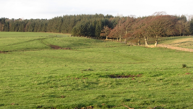
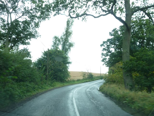
Graden Moor, located in Roxburghshire, Scotland, is a picturesque expanse of downs and moorland that covers an area of approximately 2,000 acres. This captivating landscape is situated within the Scottish Borders, near the village of Westruther.
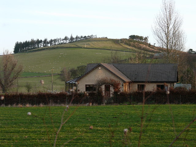
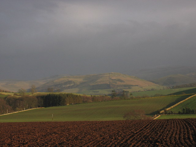
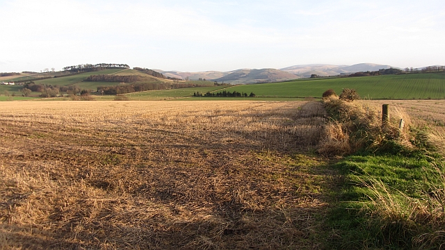
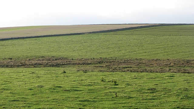
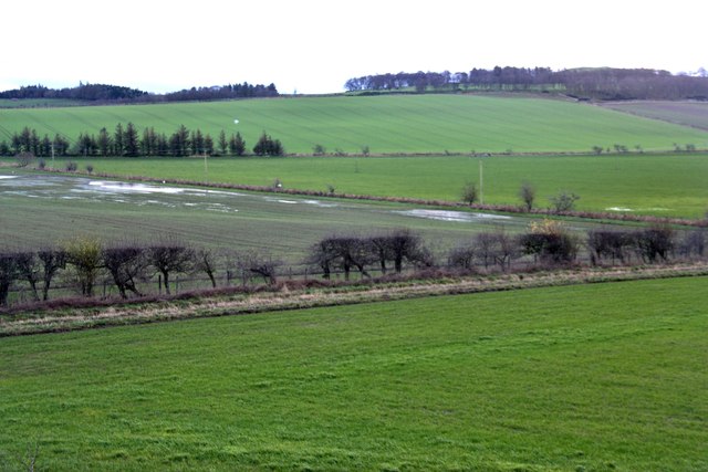
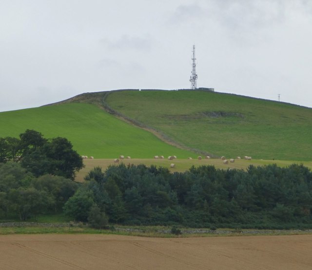
The moorland of Graden Moor is characterized by its rolling hills, heather-covered terrain, and stunning panoramic views. The area is rich in biodiversity, with a variety of plant and animal species thriving in its unique ecosystem. Visitors can expect to encounter vibrant wildflowers, such as bell heather and bog asphodel, as well as native wildlife like red grouse, curlews, and hen harriers.
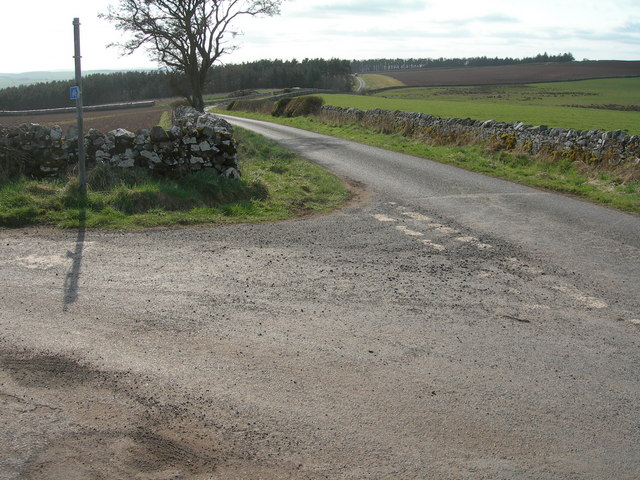
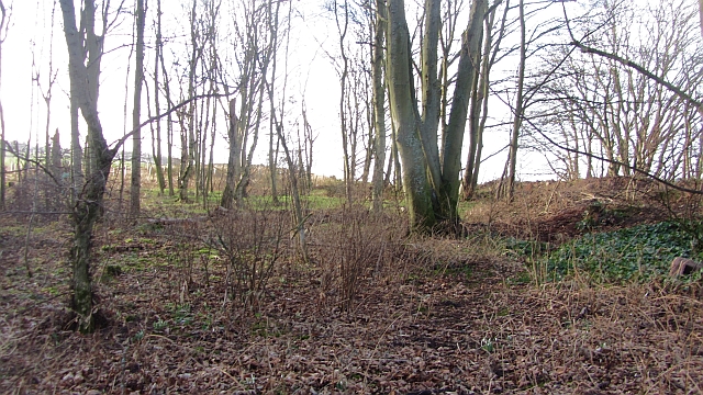
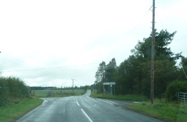
Graden Moor offers a tranquil retreat for nature enthusiasts, hikers, and birdwatchers. The area boasts several well-maintained footpaths and trails, allowing visitors to explore the moorland at their own pace. These paths wind through open grasslands, past babbling streams, and up to higher vantage points, offering breathtaking vistas of the surrounding countryside.
In addition to its natural beauty, Graden Moor also holds historical significance. The area contains remnants of ancient settlements, including a Bronze Age cairn and a medieval field system. These archaeological sites provide fascinating insights into the area's past and offer opportunities for exploration and study.
Overall, Graden Moor in Roxburghshire is a captivating destination that combines stunning natural scenery, abundant wildlife, and a rich historical heritage. Whether it's for a leisurely stroll or an in-depth exploration, this tranquil moorland offers a captivating experience for visitors of all interests.
If you have any feedback on the listing, please let us know in the comments section below.
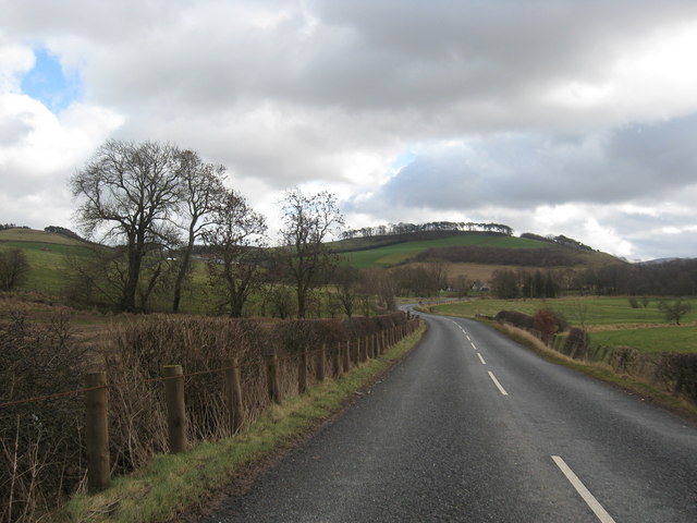
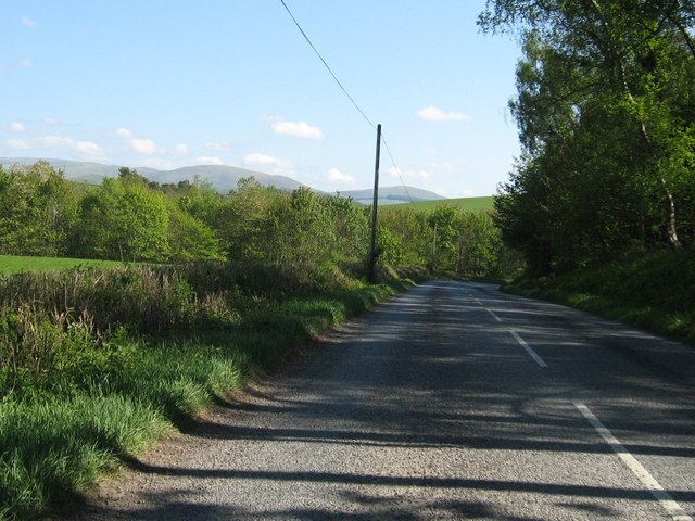
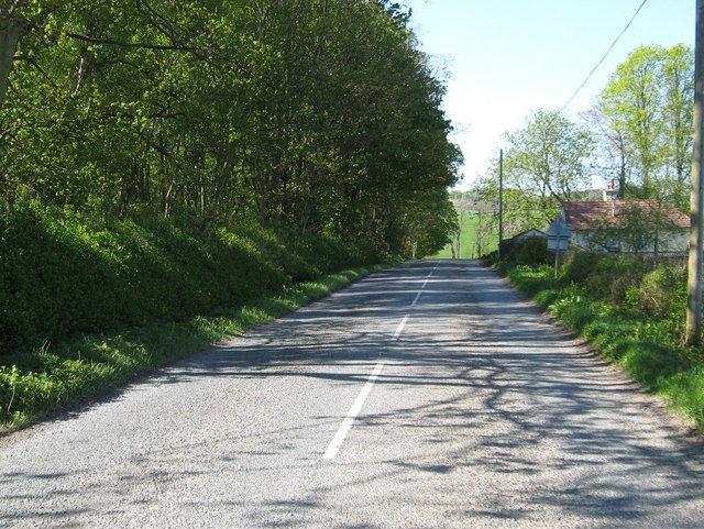
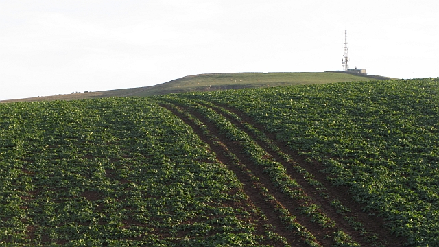
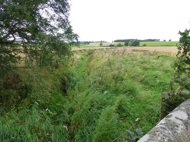
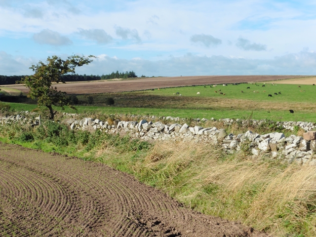
Graden Moor Images
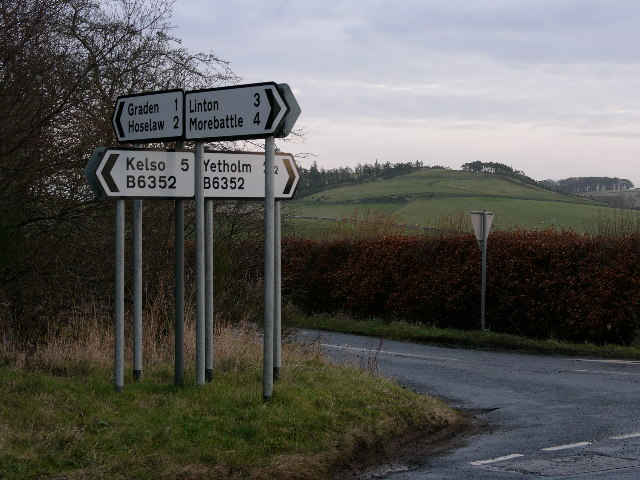
Images are sourced within 2km of 55.569435/-2.3394055 or Grid Reference NT7830. Thanks to Geograph Open Source API. All images are credited.
Graden Moor is located at Grid Ref: NT7830 (Lat: 55.569435, Lng: -2.3394055)
Unitary Authority: The Scottish Borders
Police Authority: The Lothians and Scottish Borders
What 3 Words
///illogical.minivans.pill. Near Maxwellheugh, Scottish Borders
Nearby Locations
Related Wikis

Lempitlaw
Lempitlaw is a hamlet, former parish and former feudal barony in the Scottish Borders area of Scotland, as well as the historic county of Roxburghshire...

Hoselaw Loch and Din Moss
Hoselaw Loch and Din Moss is a nature reserve near Kelso in the Scottish Borders area of Scotland, in the former Roxburghshire. The reserve is designated...

Yetholm Loch
Yetholm Loch is a loch near Kelso, in the Scottish Borders area of Scotland, in the former Roxburghshire.There was a tower on an island in Yetholm Loch...
Battle of Haddon Rig
The Battle of Hadden Rig was a battle fought about three miles east of Kelso, in the Scottish Borders, between Scotland and England on 24 August 1542,...
Nearby Amenities
Located within 500m of 55.569435,-2.3394055Have you been to Graden Moor?
Leave your review of Graden Moor below (or comments, questions and feedback).