Tronshaw Hill

Hill, Mountain in Roxburghshire

Scotland

Tronshaw Hill

Standing Stone near Horseshoe Wood Scale 1m <span class="nowrap"><a title="https://canmore.org.uk/site/57969/horseshoe-wood" rel="nofollow ugc noopener" href="https://canmore.org.uk/site/57969/horseshoe-wood">Link</a><img style="margin-left:2px;" alt="External link" title="External link - shift click to open in new window" src="https://s1.geograph.org.uk/img/external.png" width="10" height="10"/></span>
Standing Stone near Horseshoe Wood Credit: Sandy Gerrard

Tronshaw Hill is a prominent hill located in Roxburghshire, a historic county in the Scottish Borders region of Scotland. Rising to a height of approximately 406 meters (1,332 feet), it is a notable feature of the local landscape and offers breathtaking views of the surrounding countryside.

Situated near the town of Hawick, Tronshaw Hill is easily accessible and attracts both locals and visitors who enjoy outdoor activities such as hiking, walking, and birdwatching. Its gentle slopes and well-defined paths make it an ideal destination for outdoor enthusiasts of all ages and abilities.

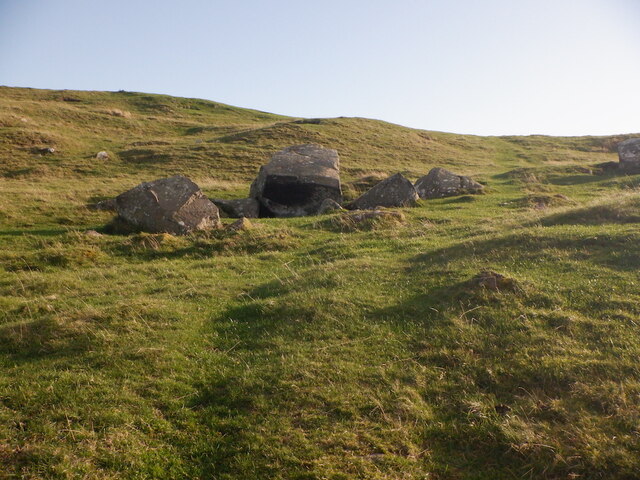
Covered in lush greenery, Tronshaw Hill boasts a diverse range of flora and fauna, providing a haven for various wildlife species. The hillside is adorned with heather, gorse, and bracken, creating a picturesque scene that changes with the seasons. Along the way, walkers may encounter birds such as buzzards, kestrels, and pheasants, as well as rabbits and occasional deer.

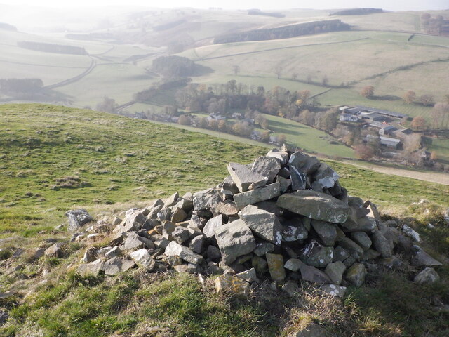
The summit of Tronshaw Hill offers panoramic views of the rolling hills and valleys that characterize Roxburghshire. On clear days, it is possible to see as far as the Cheviot Hills and the Eildon Hills, further enhancing the hill's appeal to nature lovers and photographers.

Tronshaw Hill is a cherished local landmark, providing a tranquil and scenic escape from the hustle and bustle of everyday life. Its natural beauty, accessibility, and diverse wildlife make it a cherished destination for those seeking a peaceful retreat or an adventure in the heart of the Scottish Borders.

If you have any feedback on the listing, please let us know in the comments section below.

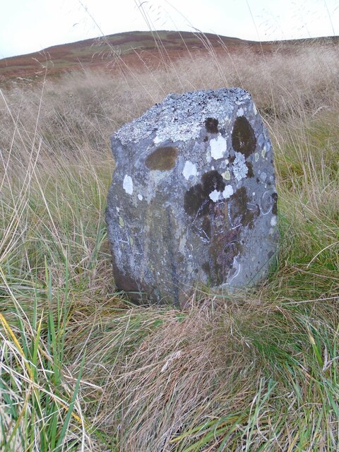
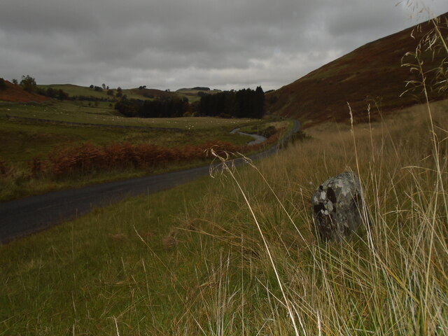
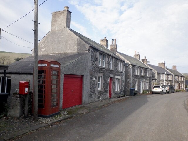
Tronshaw Hill Images

Images are sourced within 2km of 55.453095/-2.3509275 or Grid Reference NT7717. Thanks to Geograph Open Source API. All images are credited.

Standing Stone near Horseshoe Wood Scale 1m <span class="nowrap"><a title="https://canmore.org.uk/site/57969/horseshoe-wood" rel="nofollow ugc noopener" href="https://canmore.org.uk/site/57969/horseshoe-wood">Link</a><img style="margin-left:2px;" alt="External link" title="External link - shift click to open in new window" src="https://s1.geograph.org.uk/img/external.png" width="10" height="10"/></span>
Standing Stone near Horseshoe Wood
Scale 1m LinkExternal link
Old milestone First photographed for the Milestone Society in 2010 this milestone in the Kale Water valley south of Chatto has gained a few more lichens and some moss.   H is for Hindhope which is at the end of tarmac but this would have been an old drovers' route over the hills southwards into England.
Old milestone
First photographed for the Milestone Society in 2010 this milestone in the Kale Water valley south of Chatto has gained a few more lichens and some moss. H is for Hindhope which is at the end of tarmac but this would have been an old drovers' route over the hills southwards into England.
Old milestone The view northwards on a dull day from the milestone towards Chatto with the Kale Water alongside the road.  This area of the Borders was Roxburghshire prior to the 1970s.
Old milestone
The view northwards on a dull day from the milestone towards Chatto with the Kale Water alongside the road. This area of the Borders was Roxburghshire prior to the 1970s.
Smithy, Hownam
Smithy, Hownam
Hownam The telephone box was still in service.
Hownam
The telephone box was still in service.
Sharplaw Bridge
Sharplaw Bridge
Kale Water, Hownam
Kale Water, Hownam
Sharplaw Improved land against rough grazing on the slopes of Hownam Steeple.
Sharplaw
Improved land against rough grazing on the slopes of Hownam Steeple.
Hownam Steeple A small but shapely hill with a fine view.
Hownam Steeple
A small but shapely hill with a fine view.
View from Hownam Steeple View towards Hownam Law.
View from Hownam Steeple
View towards Hownam Law.
On Hownam Steeple View from near the summit over upland pasture.
On Hownam Steeple
View from near the summit over upland pasture.
Cairn, Hownam Steeple
Hownam Steeple From southeast of the summit.
Hownam Steeple
From southeast of the summit.
View towards Hownam Law From near the Steeple
View towards Hownam Law
From near the Steeple
Hownam Rings Ramparts on a spur, a common feature in the Cheviot Hills.
Hownam Rings
Ramparts on a spur, a common feature in the Cheviot Hills.
Boulders below Hownam Rings
Old boundary above Hownam There was a fence here too until recently. Boundary earthwalls are a common feature here.
Old boundary above Hownam
There was a fence here too until recently. Boundary earthwalls are a common feature here.
Above Hownam The Street runs left of the plantation.
Above Hownam
The Street runs left of the plantation.
Show me another place!

Tronshaw Hill is located at Grid Ref: NT7717 (Lat: 55.453095, Lng: -2.3509275)

Unitary Authority: The Scottish Borders

Police Authority: The Lothians and Scottish Borders

What 3 Words

///testers.dining.disbanded. Near Jedburgh, Scottish Borders

Related Wikis

Hownam

Hownam or Hounam is a small village and parish situated 8 miles east of Jedburgh in the Scottish Borders area of Scotland, near the Anglo-Scottish border...

Pennymuir Roman camps

The Pennymuir Roman camps are situated southeast of Jedburgh in the Scottish Borders area of Scotland, near the Anglo-Scottish border, in the former Roxburghshire...

Mowhaugh

Mowhaugh is a hamlet and farm steading near the Calroust Burn and the Bowmont Water, near Morebattle, in the Scottish Borders area of Scotland, and in...

Morebattle

Morebattle is a village in the Scottish Borders area of Scotland, on the B6401, seven miles south of Kelso, Scottish Borders, beside the Kale Water, a...

Nearby Amenities

Located within 500m of 55.453095,-2.3509275
Chatto Hill
Natural: peak
Lat/Long: 55.451051/-2.3518346
Tronshaw Hill
Natural: peak
Lat/Long: 55.453038/-2.351094
The data included in this document is from www.openstreetmap.org. The data is made available under ODbL.

Have you been to Tronshaw Hill?

Leave your review of Tronshaw Hill below (or comments, questions and feedback).