Chatto Hill

Hill, Mountain in Roxburghshire

Scotland

Chatto Hill

Standing Stone near Horseshoe Wood Scale 1m <span class="nowrap"><a title="https://canmore.org.uk/site/57969/horseshoe-wood" rel="nofollow ugc noopener" href="https://canmore.org.uk/site/57969/horseshoe-wood">Link</a><img style="margin-left:2px;" alt="External link" title="External link - shift click to open in new window" src="https://s1.geograph.org.uk/img/external.png" width="10" height="10"/></span>
Standing Stone near Horseshoe Wood Credit: Sandy Gerrard

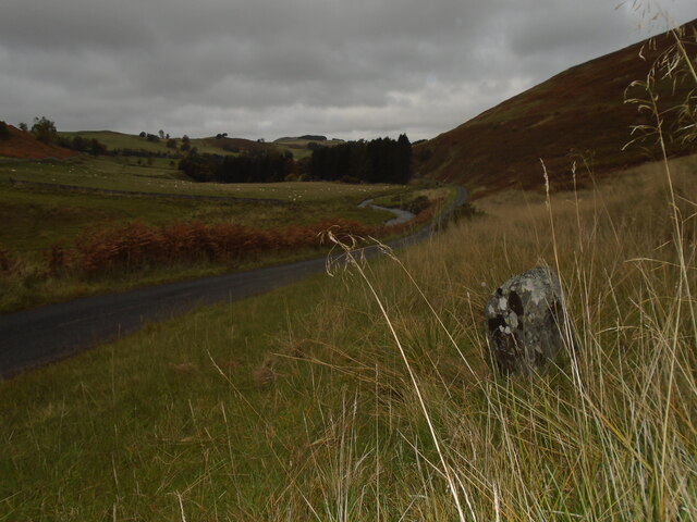
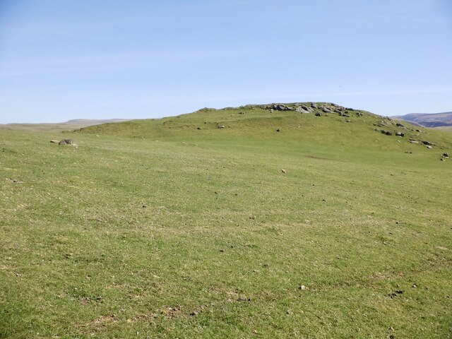
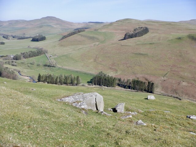
Chatto Hill is a prominent hill located in Roxburghshire, a historic county in the Borders region of Scotland. With an elevation of 381 meters (1,250 feet), it is classified as a hill rather than a mountain. Situated near the village of Oxnam, Chatto Hill offers breathtaking panoramic views of the surrounding countryside.

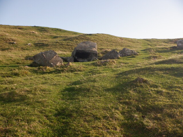
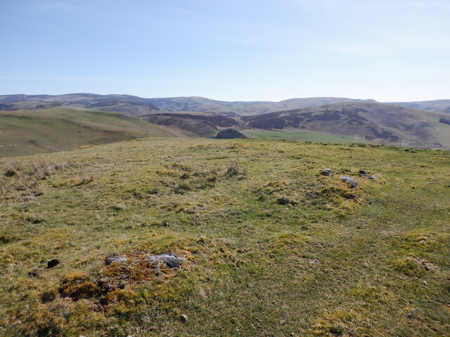
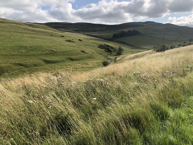
The hill is composed of a mix of grassy slopes and heather moorland, typical of the region. It is accessible to hikers and outdoor enthusiasts, with various paths and trails leading to its summit. The ascent is considered moderate, making it suitable for individuals with a moderate level of fitness.

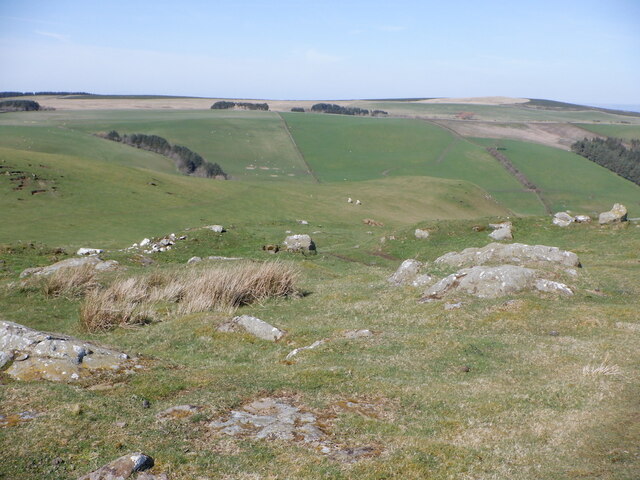
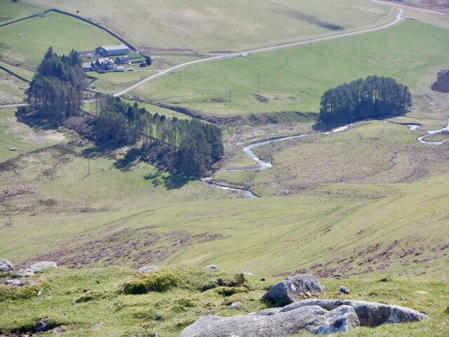
The summit of Chatto Hill offers a magnificent vantage point, providing a sweeping vista of the rolling hills, verdant valleys, and nearby waterways. On a clear day, one can see as far as the Cheviot Hills and the Eildon Hills.

The area surrounding Chatto Hill is rich in historical and cultural significance. The nearby village of Oxnam is known for its charming rural character and traditional Scottish architecture. The hill itself has been mentioned in historical records dating back centuries, and it is believed to have played a role in local folklore and legends.

Overall, Chatto Hill is a captivating natural landmark, offering visitors an opportunity to immerse themselves in the beauty of the Scottish Borders. Its accessibility, combined with its stunning views and historical significance, make it a popular destination for both locals and tourists seeking to explore the region's natural wonders.

If you have any feedback on the listing, please let us know in the comments section below.
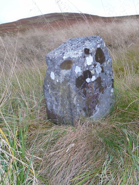
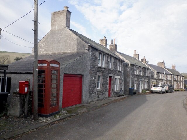
Chatto Hill Images

Images are sourced within 2km of 55.450503/-2.3522799 or Grid Reference NT7717. Thanks to Geograph Open Source API. All images are credited.

Standing Stone near Horseshoe Wood Scale 1m <span class="nowrap"><a title="https://canmore.org.uk/site/57969/horseshoe-wood" rel="nofollow ugc noopener" href="https://canmore.org.uk/site/57969/horseshoe-wood">Link</a><img style="margin-left:2px;" alt="External link" title="External link - shift click to open in new window" src="https://s1.geograph.org.uk/img/external.png" width="10" height="10"/></span>
Standing Stone near Horseshoe Wood
Scale 1m LinkExternal link
Old milestone First photographed for the Milestone Society in 2010 this milestone in the Kale Water valley south of Chatto has gained a few more lichens and some moss.   H is for Hindhope which is at the end of tarmac but this would have been an old drovers' route over the hills southwards into England.
Old milestone
First photographed for the Milestone Society in 2010 this milestone in the Kale Water valley south of Chatto has gained a few more lichens and some moss. H is for Hindhope which is at the end of tarmac but this would have been an old drovers' route over the hills southwards into England.
Old milestone The view northwards on a dull day from the milestone towards Chatto with the Kale Water alongside the road.  This area of the Borders was Roxburghshire prior to the 1970s.
Old milestone
The view northwards on a dull day from the milestone towards Chatto with the Kale Water alongside the road. This area of the Borders was Roxburghshire prior to the 1970s.
Smithy, Hownam
Smithy, Hownam
Hownam The telephone box was still in service.
Hownam
The telephone box was still in service.
Boulders below Hownam Rings
The Street passing Horseshoe Wood Above Hownam.
The Street passing Horseshoe Wood
Above Hownam.
Chatto Craig A  rocky top with a hill fort.
Chatto Craig
A rocky top with a hill fort.
Summit, Chatto Craig
Outcropping rock, Chatto Craig Near the summit, within the fort ramparts.
Outcropping rock, Chatto Craig
Near the summit, within the fort ramparts.
Kale Water Beneath Chatto Craig.
Kale Water
Beneath Chatto Craig.
Rocks, Chatto Craig View down the Kale Water.
Rocks, Chatto Craig
View down the Kale Water.
Cattle grid, Hownam On the road from Greenhills.
Cattle grid, Hownam
On the road from Greenhills.
Ungrazed field beside the Capehope Burn
Field above Hownam This <a href="https://www.geograph.org.uk/photo/2705326">NT7718 : Field on Tronshaw Hill</a> but looking downwards from the southern end.
Field above Hownam
This NT7718 : Field on Tronshaw Hill but looking downwards from the southern end.
View towards Hownam Law From the slopes of Tronshaw Hill.
View towards Hownam Law
From the slopes of Tronshaw Hill.
East side of Tronshaw Hill Cheviot Hills above Greenhill
East side of Tronshaw Hill
Cheviot Hills above Greenhill
Summit, Tronshaw Hill
Show me another place!

Chatto Hill is located at Grid Ref: NT7717 (Lat: 55.450503, Lng: -2.3522799)

Unitary Authority: The Scottish Borders

Police Authority: The Lothians and Scottish Borders

What 3 Words

///downhill.swooning.sigh. Near Jedburgh, Scottish Borders

Related Wikis

Hownam

Hownam or Hounam is a small village and parish situated 8 miles east of Jedburgh in the Scottish Borders area of Scotland, near the Anglo-Scottish border...

Pennymuir Roman camps

The Pennymuir Roman camps are situated southeast of Jedburgh in the Scottish Borders area of Scotland, near the Anglo-Scottish border, in the former Roxburghshire...

Mowhaugh

Mowhaugh is a hamlet and farm steading near the Calroust Burn and the Bowmont Water, near Morebattle, in the Scottish Borders area of Scotland, and in...

Cessford, Scottish Borders

Cessford is a hamlet and former barony about a mile south of the B6401 road, in the Scottish Borders area of Scotland. The placename is from Gaelic 'ceis...

Nearby Amenities

Located within 500m of 55.450503,-2.3522799
Chatto Hill
Natural: peak
Lat/Long: 55.451051/-2.3518346
Tronshaw Hill
Natural: peak
Lat/Long: 55.453038/-2.351094
The data included in this document is from www.openstreetmap.org. The data is made available under ODbL.

Have you been to Chatto Hill?

Leave your review of Chatto Hill below (or comments, questions and feedback).