Chatto

Settlement in Roxburghshire

Scotland

Chatto

Old milestone First photographed for the Milestone Society in 2010 this milestone in the Kale Water valley south of Chatto has gained a few more lichens and some moss.   H is for Hindhope which is at the end of tarmac but this would have been an old drovers' route over the hills southwards into England.
Old milestone Credit: Chris Minto

Chatto is a small rural village located in the Scottish Borders region of Roxburghshire, Scotland. Situated approximately 4 miles southeast of the town of Jedburgh, Chatto is surrounded by picturesque countryside and offers a tranquil setting for residents and visitors alike.

The village itself is comprised of a handful of residential properties, with a population of around 100 people. The architecture in Chatto is predominantly traditional, reflecting its historical roots. Many of the buildings date back to the 19th century, adding to the village's charm and character.

With its idyllic location, Chatto serves as a popular base for outdoor enthusiasts. The surrounding area offers ample opportunities for walking, hiking, and cycling, with scenic routes that showcase the stunning natural landscapes. The nearby Jed Water River is also a haven for fishing enthusiasts, attracting anglers from far and wide.

Despite its small size, Chatto is well-connected to nearby towns and cities. The village benefits from good road links, with the A68 passing just to the west, allowing for easy access to Jedburgh and other surrounding areas. Public transportation options are limited, but regular bus services connect Chatto to nearby towns.

For amenities and services, residents typically rely on the nearby town of Jedburgh, which offers a wider range of shops, schools, and healthcare facilities. However, Chatto itself boasts a strong sense of community, with regular events and gatherings organized by local residents.

In conclusion, Chatto is a charming rural village in Roxburghshire, Scotland, offering a peaceful and scenic environment with easy access to outdoor activities and nearby towns.

If you have any feedback on the listing, please let us know in the comments section below.
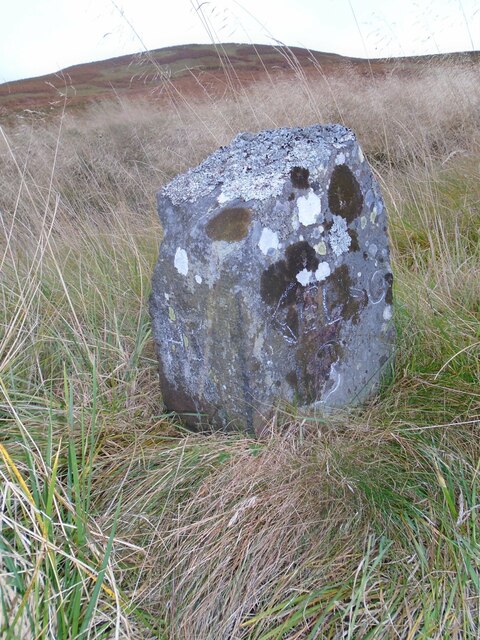
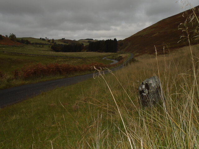
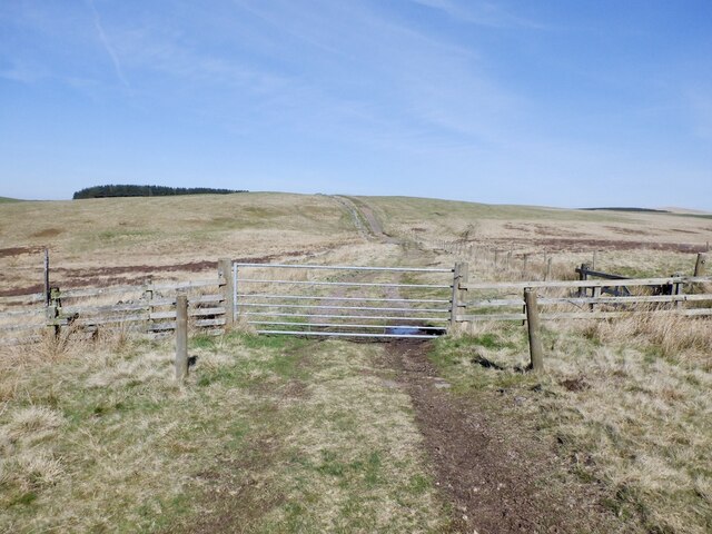
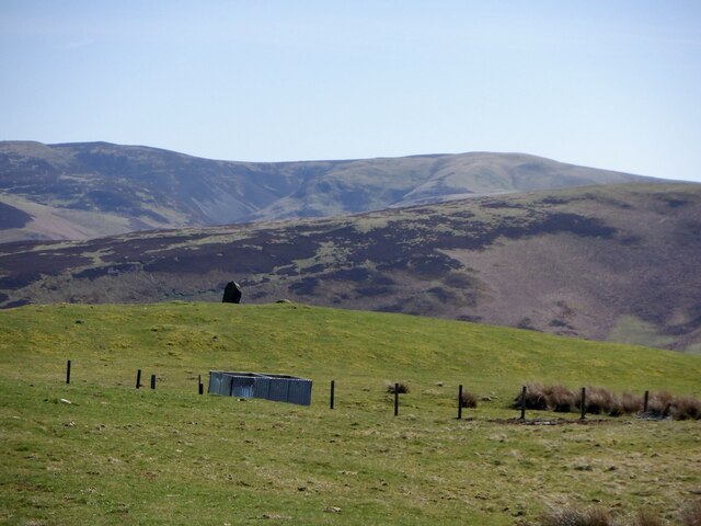
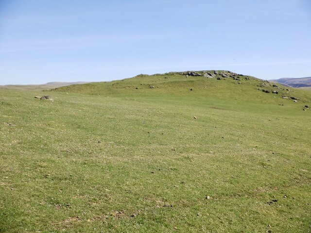
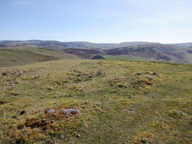
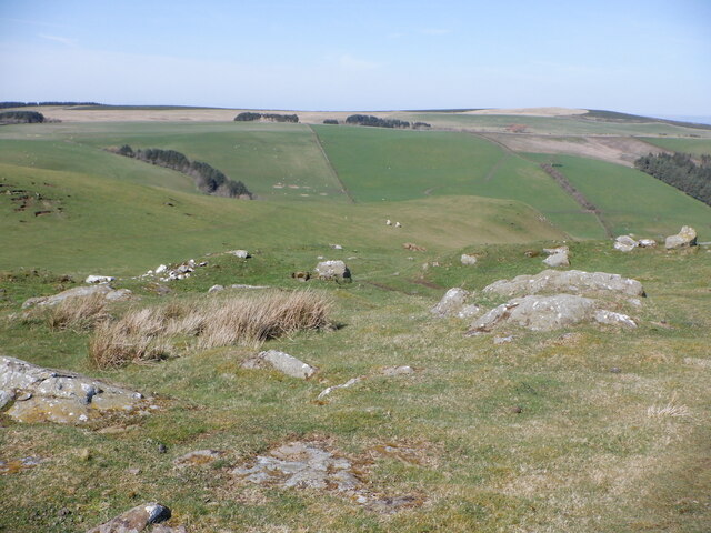
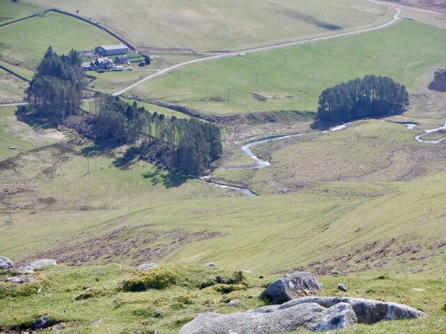
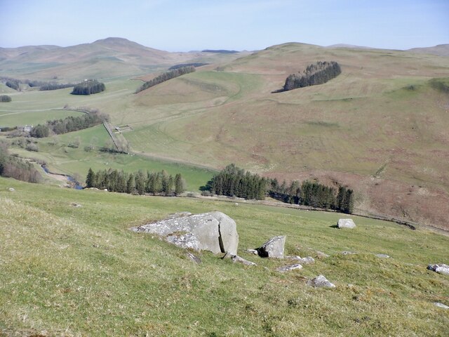
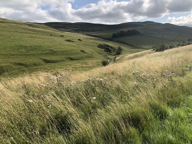
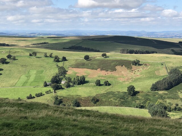
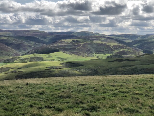
Chatto Images

Images are sourced within 2km of 55.446323/-2.3651422 or Grid Reference NT7717. Thanks to Geograph Open Source API. All images are credited.

Old milestone First photographed for the Milestone Society in 2010 this milestone in the Kale Water valley south of Chatto has gained a few more lichens and some moss.   H is for Hindhope which is at the end of tarmac but this would have been an old drovers' route over the hills southwards into England.
Old milestone
First photographed for the Milestone Society in 2010 this milestone in the Kale Water valley south of Chatto has gained a few more lichens and some moss. H is for Hindhope which is at the end of tarmac but this would have been an old drovers' route over the hills southwards into England.
Old milestone The view northwards on a dull day from the milestone towards Chatto with the Kale Water alongside the road.  This area of the Borders was Roxburghshire prior to the 1970s.
Old milestone
The view northwards on a dull day from the milestone towards Chatto with the Kale Water alongside the road. This area of the Borders was Roxburghshire prior to the 1970s.
On Katie Fisher's Knowe A view towards the Cheviot Hills from the forestry track on Katie Fisher's Knowe.
On Katie Fisher's Knowe
A view towards the Cheviot Hills from the forestry track on Katie Fisher's Knowe.
Gate, Dere Street With an electrified slinky on the south side.
Gate, Dere Street
With an electrified slinky on the south side.
Standing stone, east side of Plea Shank
Chatto Craig A  rocky top with a hill fort.
Chatto Craig
A rocky top with a hill fort.
Summit, Chatto Craig
Outcropping rock, Chatto Craig Near the summit, within the fort ramparts.
Outcropping rock, Chatto Craig
Near the summit, within the fort ramparts.
Kale Water Beneath Chatto Craig.
Kale Water
Beneath Chatto Craig.
Rocks, Chatto Craig View down the Kale Water.
Rocks, Chatto Craig
View down the Kale Water.
Rough grazing, Plea Shank Beside Dere Street
Rough grazing, Plea Shank
Beside Dere Street
Ungrazed field beside the Capehope Burn
Field above Hownam This <a href="https://www.geograph.org.uk/photo/2705326">NT7718 : Field on Tronshaw Hill</a> but looking downwards from the southern end.
Field above Hownam
This NT7718 : Field on Tronshaw Hill but looking downwards from the southern end.
East side of Tronshaw Hill Cheviot Hills above Greenhill
East side of Tronshaw Hill
Cheviot Hills above Greenhill
Summit, Tronshaw Hill
Tronshaw Hill View south from the summit
Tronshaw Hill
View south from the summit
Philogar and Scurrie Knowe View over the Kale Water from Tronshaw Hill.
Philogar and Scurrie Knowe
View over the Kale Water from Tronshaw Hill.
Humblemoor Hill View from Tronshaw Hill. Border ridge beyond.
Humblemoor Hill
View from Tronshaw Hill. Border ridge beyond.
Show me another place!

Chatto is located at Grid Ref: NT7717 (Lat: 55.446323, Lng: -2.3651422)

Unitary Authority: The Scottish Borders

Police Authority: The Lothians and Scottish Borders

What 3 Words

///painters.origins.geek. Near Jedburgh, Scottish Borders

Related Wikis

Hownam

Hownam or Hounam is a small village and parish situated 8 miles east of Jedburgh in the Scottish Borders area of Scotland, near the Anglo-Scottish border...

Pennymuir Roman camps

The Pennymuir Roman camps are situated southeast of Jedburgh in the Scottish Borders area of Scotland, near the Anglo-Scottish border, in the former Roxburghshire...

Mowhaugh

Mowhaugh is a hamlet and farm steading near the Calroust Burn and the Bowmont Water, near Morebattle, in the Scottish Borders area of Scotland, and in...

Oxnam

Oxnam (Scots: Owsenam) is a village near Jedburgh, in Roxburghshire in the Scottish Borders area of Scotland. It is a primarily residential village. The...

Nearby Amenities

Located within 500m of 55.446323,-2.3651422
Chatto Craig
Natural: peak
Wikidata: Q31105668
Lat/Long: 55.44291/-2.3698321
Over Chatto
Place: hamlet
Lat/Long: 55.4493666/-2.3707177
Barrier: cattle_grid
Lat/Long: 55.449798/-2.3631518
Harbour Knowe
Natural: peak
Lat/Long: 55.4475369/-2.3701424
Power: pole
Lat/Long: 55.4504054/-2.3677048
Power: pole
Lat/Long: 55.449887/-2.3676018
Power: pole
Lat/Long: 55.4491451/-2.367455
Power: pole
Lat/Long: 55.4483887/-2.3672953
Power: pole
Lat/Long: 55.4476848/-2.3671537
Power: pole
Lat/Long: 55.4469823/-2.3670147
Power: pole
Lat/Long: 55.4462857/-2.3668756
Power: pole
Lat/Long: 55.4457088/-2.3667005
Power: pole
Lat/Long: 55.4451771/-2.3665666
Power: pole
Lat/Long: 55.4445389/-2.3663941
Power: pole
Lat/Long: 55.4439123/-2.3662319
Power: pole
Lat/Long: 55.4433719/-2.3660851
Power: pole
Lat/Long: 55.4428242/-2.3659357
Power: pole
Lat/Long: 55.4421435/-2.3657555
Power: pole
Lat/Long: 55.4496621/-2.3685365
Power: pole
Lat/Long: 55.4494533/-2.3694223
Power: pole
Lat/Long: 55.4492693/-2.3702977
The data included in this document is from www.openstreetmap.org. The data is made available under ODbL.

Have you been to Chatto?

Leave your review of Chatto below (or comments, questions and feedback).