Oak Hill
Hill, Mountain in Staffordshire Stafford
England
Oak Hill
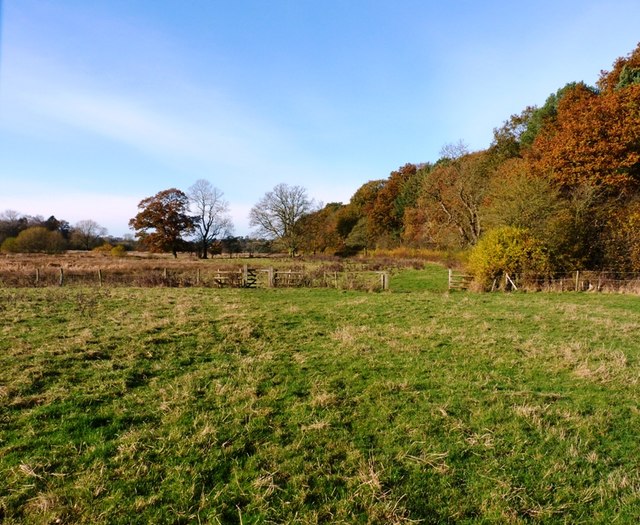
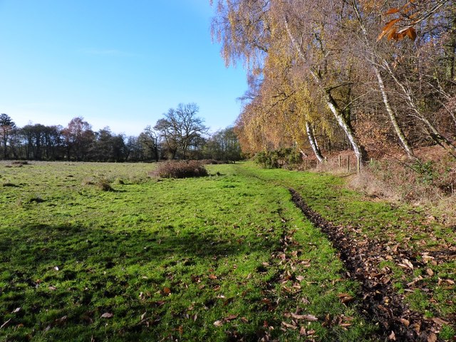
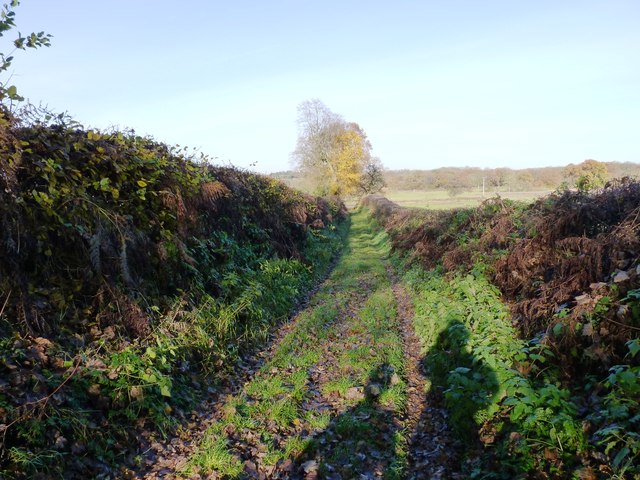
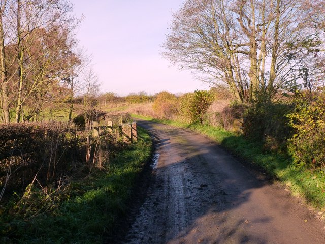
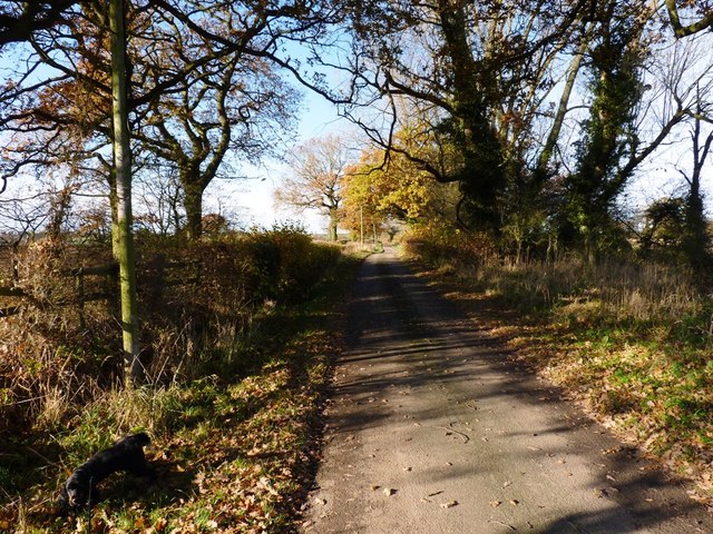
Oak Hill is a prominent landmark located in Staffordshire, England. Situated near the village of Oakamoor, it is part of the picturesque landscape of the Staffordshire Moorlands. Although referred to as a hill, Oak Hill resembles a small mountain, standing at an elevation of approximately 324 meters (1,063 feet) above sea level.
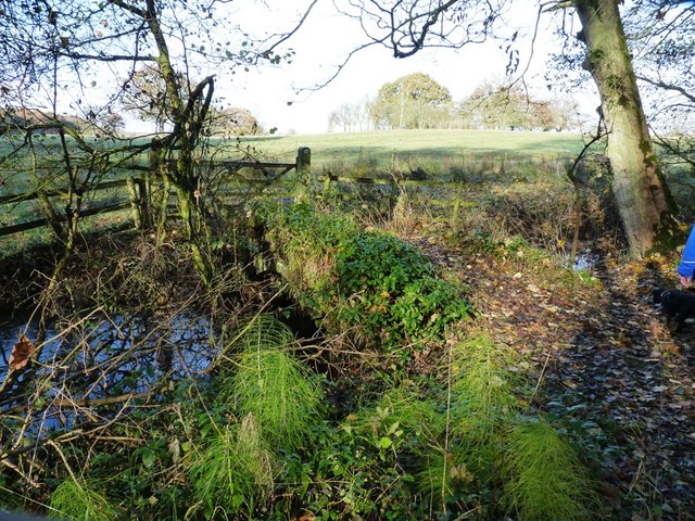
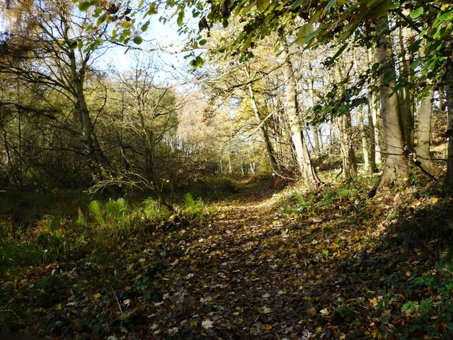
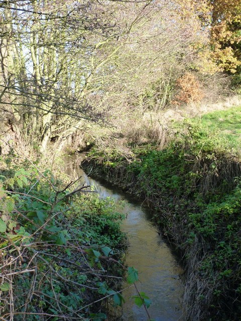
The hill is characterized by its lush greenery and is covered in dense oak woodlands, which gives it its name. The trees provide a stunning backdrop, particularly during autumn when the leaves change color, creating a vibrant and picturesque scene. The area surrounding Oak Hill is a haven for wildlife, with various species of birds, mammals, and insects calling it home.
Oak Hill is a popular destination for outdoor enthusiasts and nature lovers. It offers a range of activities, including hiking, walking, and mountain biking trails. The hill provides panoramic views of the surrounding countryside, offering visitors a chance to appreciate the stunning natural beauty of Staffordshire.
Additionally, Oak Hill is steeped in history. The hill has archaeological importance, with evidence of human activity dating back thousands of years. There are remnants of ancient settlements and burial sites, providing a glimpse into the area's past.
Overall, Oak Hill in Staffordshire is a captivating natural landmark, offering breathtaking views, outdoor recreational opportunities, and a rich historical background, making it a must-visit destination for both locals and tourists alike.
If you have any feedback on the listing, please let us know in the comments section below.
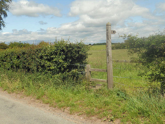
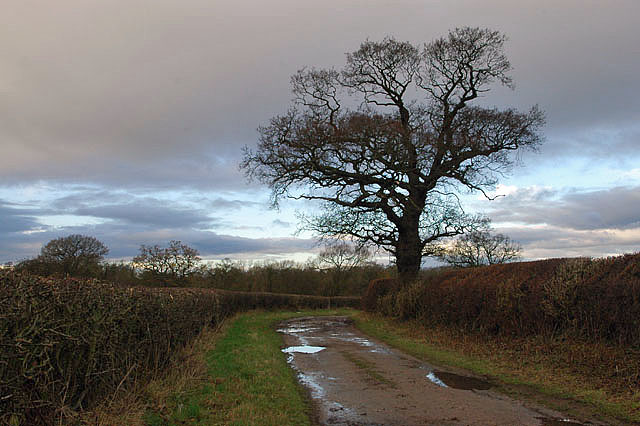
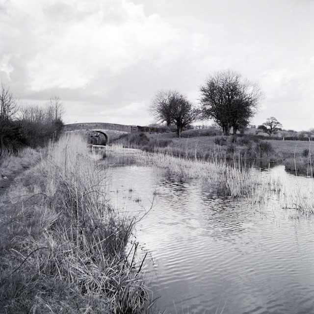
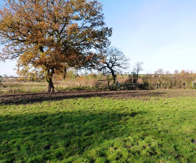
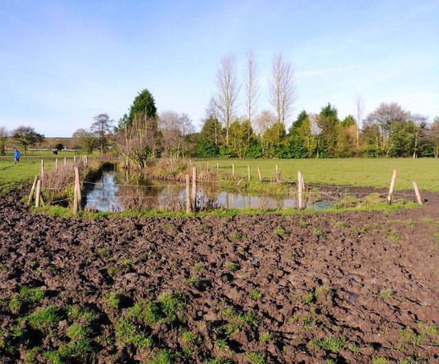
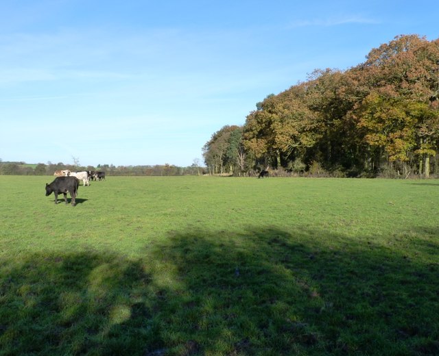
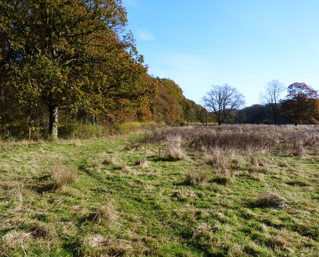
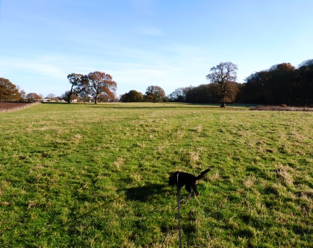
Oak Hill Images
Images are sourced within 2km of 52.785749/-2.3290901 or Grid Reference SJ7720. Thanks to Geograph Open Source API. All images are credited.

Oak Hill is located at Grid Ref: SJ7720 (Lat: 52.785749, Lng: -2.3290901)
Administrative County: Staffordshire
District: Stafford
Police Authority: Staffordshire
What 3 Words
///threaten.fluctuate.proper. Near Newport, Shropshire
Nearby Locations
Related Wikis

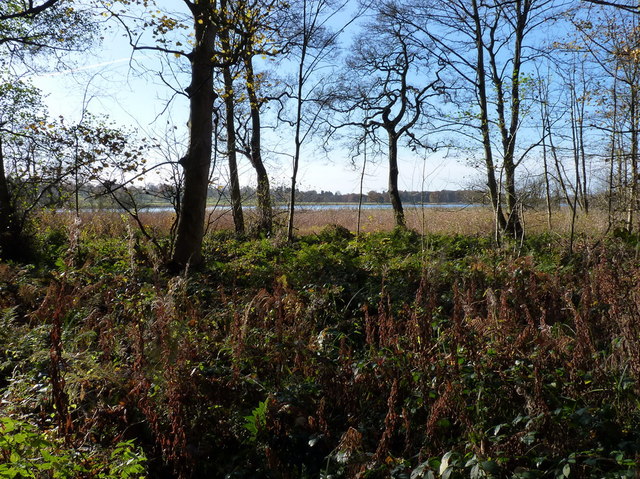
Aqualate Mere
Aqualate Mere, in Staffordshire, is the largest natural lake in the English Midlands and is managed as a national nature reserve (NNR) by Natural England...

Back Brook, English Midlands
The Back Brook is a minor watercourse in the English counties of Shropshire and Staffordshire, in places forming the boundary between the two, and located...

Aqualate Hall
Aqualate Hall, a 20th-century country house, is located in Forton, Staffordshire, England, some 2 miles (3.2 km) east of the market town of Newport, Shropshire...
Gnosall Rural District
Gnosall was a rural district in Staffordshire, England from 1894 to 1934. It was formed under the Local Government Act 1894 from that part of the Newport...

Norbury Junction
Norbury Junction (grid reference SJ793228) is a hamlet and former canal junction which lies about 1 mile (1.6 km) to the south east of Norbury, in Staffordshire...

Forton Hall
Forton Hall is a 17th-century country house situated in the village of Forton, Staffordshire, close to the Shropshire border at Newport. It is a Grade...

Norbury, Staffordshire
Norbury is a village and civil parish in the Borough of Stafford, in west Staffordshire, England. The population as taken at the 2011 census was 371.It...
Forton, Staffordshire
Forton is a small village and civil parish in Staffordshire, England, situated east of the market town of Newport, Shropshire. The civil Parish population...
Related Videos
380 - Narrowboat Olive Is Back up And Running! Beautiful Shropshire Union Canal Cruise
Today we can continue our cruise to Shebdon, because narrowboat Olive is repaired, this morning dad fitted a new belt to our ...

The Boat Inn Gnosall to Norbury Junction - A Beautiful Walk - Shropshire Union Canal
Starting at The Boat Inn in Gnosall, Staffordshire we follow the beautiful and serene Shropshire Union Canal for about 2.5 miles ...

From Pirate to Old Far*t | BOAT LIFE
I continue my adventure cruising my boat up the Shroppie - The Shropshire Union Canal travelling with a fellow single handed ...

292 - Interesting Secrets & History of The Shropshire Union Canal | Narrowboat Cruise to Norbury
Today me and dad head off from Little Onn towards Gnosall as mum takes the car ahead and does some shopping. there's plenty ...
Nearby Amenities
Located within 500m of 52.785749,-2.3290901Have you been to Oak Hill?
Leave your review of Oak Hill below (or comments, questions and feedback).