Sutton Plain
Wood, Forest in Staffordshire Stafford
England
Sutton Plain
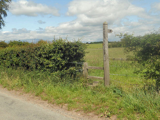
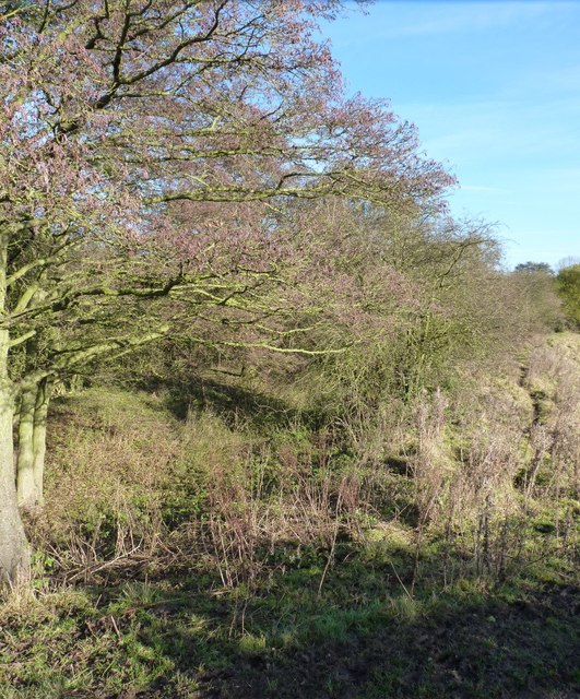
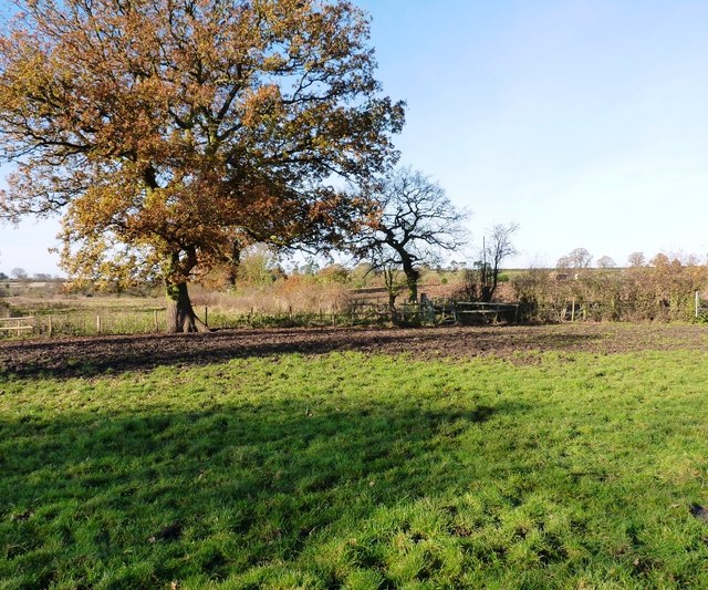
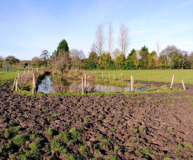
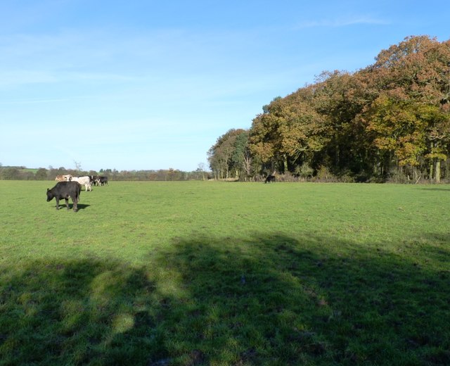
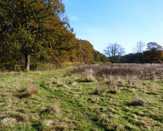
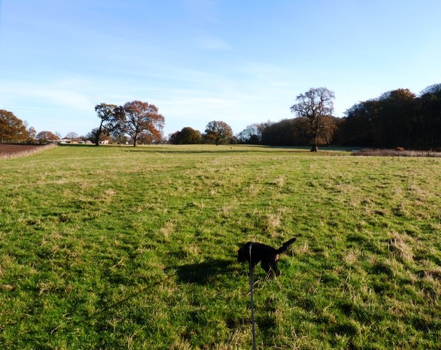
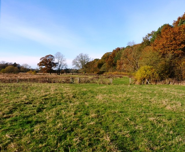
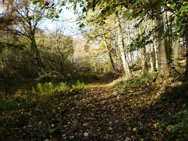
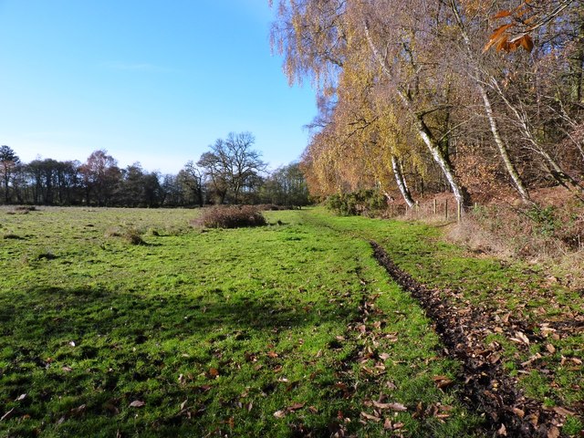
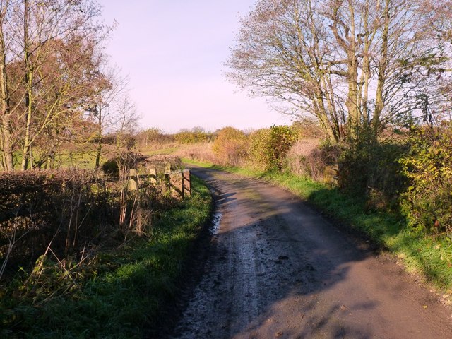
Sutton Plain, located in Staffordshire, is a scenic woodland area known for its natural beauty and tranquil atmosphere. Spanning over a vast expanse, the plain is characterized by dense forests, tall trees, and lush greenery. It serves as a haven for nature enthusiasts, offering a wide range of recreational activities and an escape from the hustle and bustle of city life.
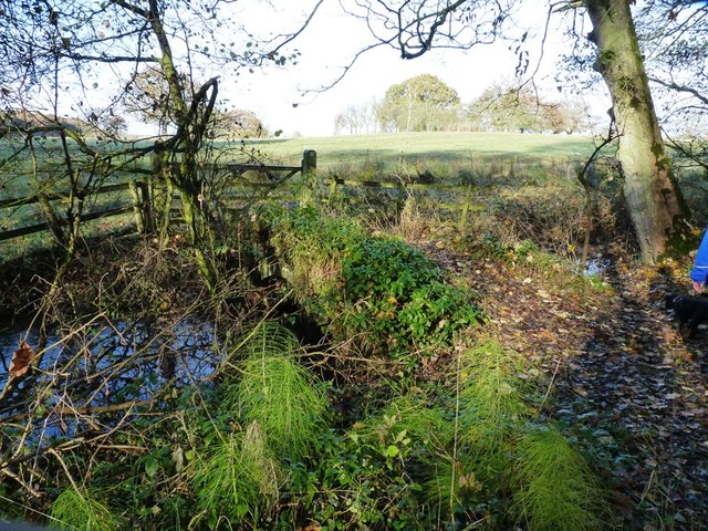
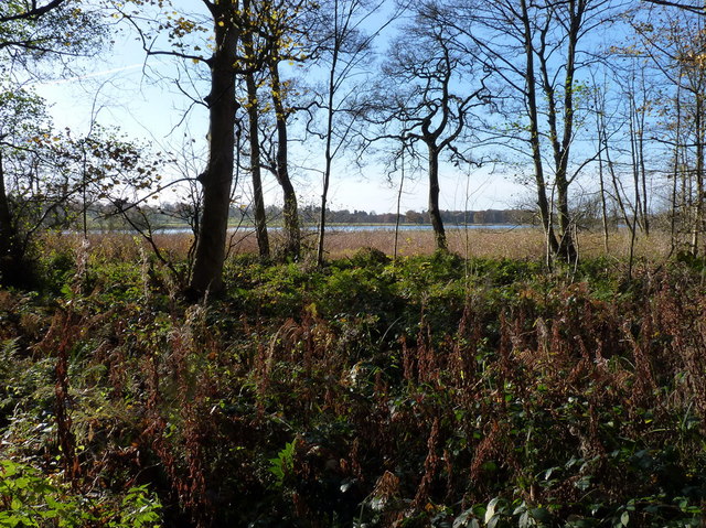
The woodland in Sutton Plain is predominantly composed of various species of deciduous trees such as oak, beech, and birch, creating a diverse and vibrant ecosystem. The forest floor is covered with a thick carpet of ferns, wildflowers, and mosses, adding to the enchanting ambiance of the area. The abundance of wildlife in Sutton Plain is also a notable feature, with deer, squirrels, and various bird species being commonly spotted.
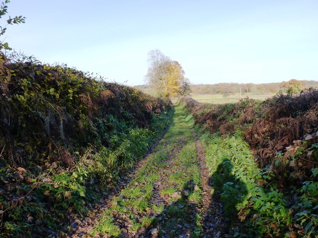
The plain offers several walking trails and paths, making it an ideal destination for hiking and nature walks. These trails wind through the forest, providing visitors with breathtaking views of the surrounding landscape and opportunities to discover hidden gems along the way. Additionally, Sutton Plain is home to a number of picnic areas and designated camping spots, allowing visitors to fully immerse themselves in the natural setting.
Sutton Plain, Staffordshire, is a sanctuary of natural beauty, offering a peaceful retreat for those seeking solace in nature. Its picturesque woodlands, diverse flora and fauna, and recreational opportunities make it a must-visit destination for outdoor enthusiasts and those in search of tranquility amidst the Staffordshire countryside.
If you have any feedback on the listing, please let us know in the comments section below.
Sutton Plain Images
Images are sourced within 2km of 52.78407/-2.3410869 or Grid Reference SJ7720. Thanks to Geograph Open Source API. All images are credited.

Sutton Plain is located at Grid Ref: SJ7720 (Lat: 52.78407, Lng: -2.3410869)
Administrative County: Staffordshire
District: Stafford
Police Authority: Staffordshire
What 3 Words
///campsites.imposes.mimes. Near Newport, Shropshire
Nearby Locations
Related Wikis

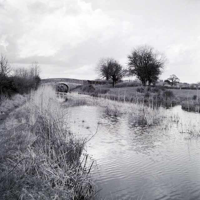
Aqualate Mere
Aqualate Mere, in Staffordshire, is the largest natural lake in the English Midlands and is managed as a national nature reserve (NNR) by Natural England...

Back Brook, English Midlands
The Back Brook is a minor watercourse in the English counties of Shropshire and Staffordshire, in places forming the boundary between the two, and located...

Aqualate Hall
Aqualate Hall, a 20th-century country house, is located in Forton, Staffordshire, England, some 2 miles (3.2 km) east of the market town of Newport, Shropshire...

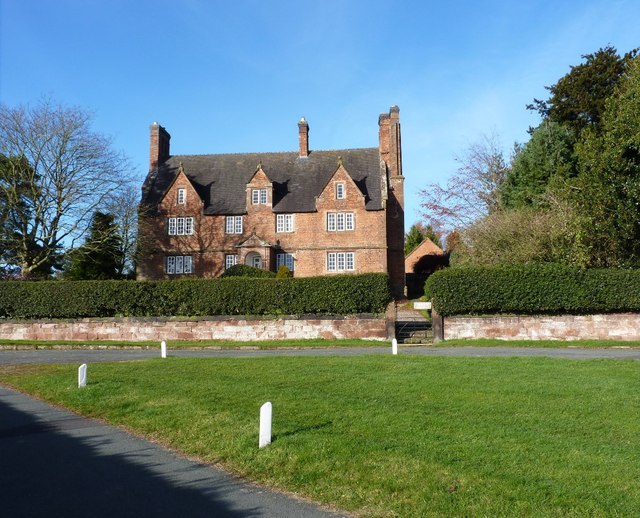
Forton Hall
Forton Hall is a 17th-century country house situated in the village of Forton, Staffordshire, close to the Shropshire border at Newport. It is a Grade...
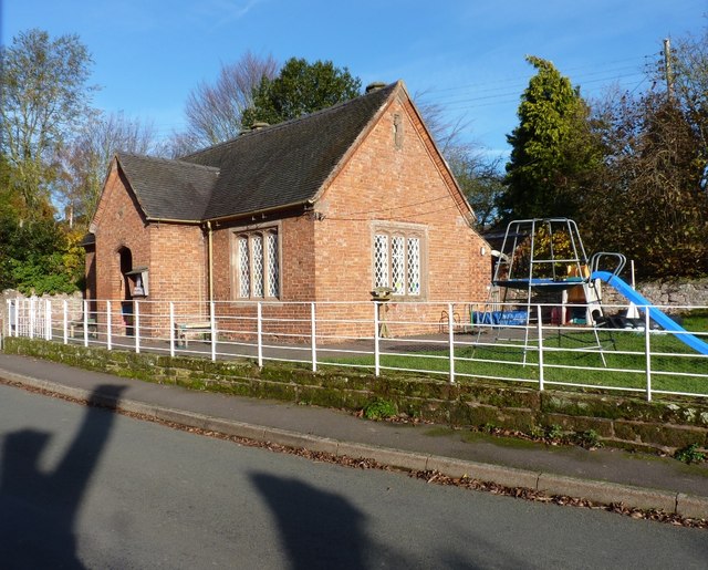
Forton, Staffordshire
Forton is a small village and civil parish in Staffordshire, England, situated east of the market town of Newport, Shropshire. The civil Parish population...
Gnosall Rural District
Gnosall was a rural district in Staffordshire, England from 1894 to 1934. It was formed under the Local Government Act 1894 from that part of the Newport...

Norbury, Staffordshire
Norbury is a village and civil parish in the Borough of Stafford, in west Staffordshire, England. The population as taken at the 2011 census was 371.It...

Old Town Hall, Newport
The Old Town Hall is a municipal building in St Mary Street, Newport, Shropshire, England. The structure, which is now divided into a series of shop units...
Nearby Amenities
Located within 500m of 52.78407,-2.3410869Have you been to Sutton Plain?
Leave your review of Sutton Plain below (or comments, questions and feedback).