Anc's Hill

Hill, Mountain in Staffordshire Stafford

England

Anc's Hill

Coley Mill Farm Converted vernacular farm building at Coley Mill Farm
Coley Mill Farm Credit: P Gaskell

Anc's Hill is a prominent hill located in the county of Staffordshire, England. Situated near the village of Seighford, it is part of the wider Staffordshire Moorlands. The hill stands at an elevation of approximately 240 meters (790 feet) above sea level, making it one of the highest points in the area.

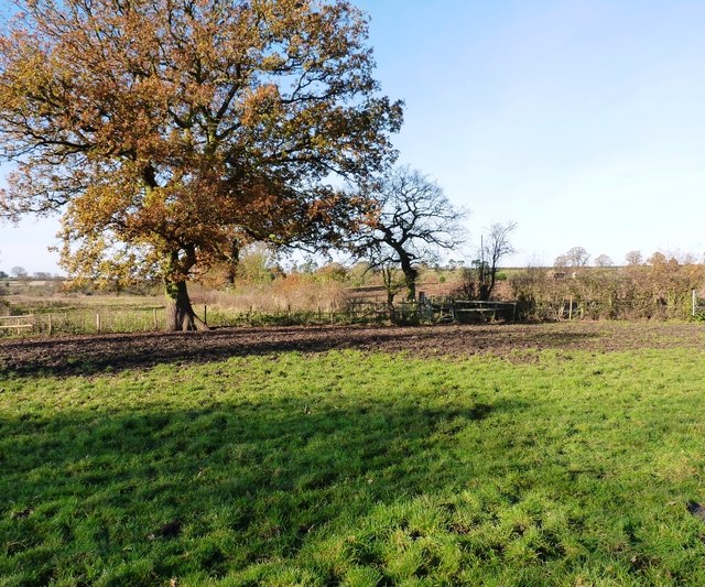
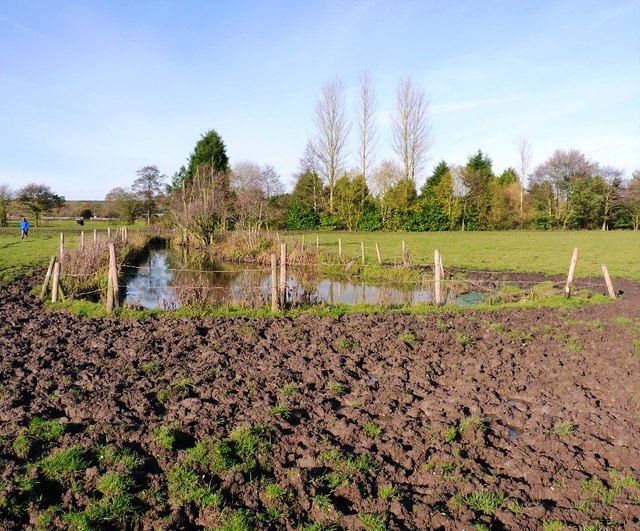
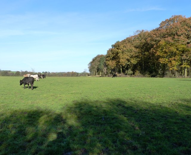
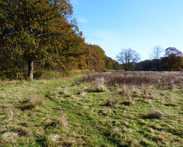
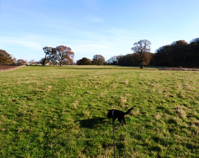
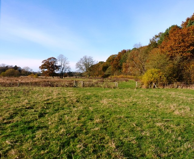
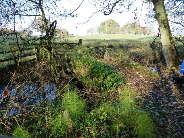
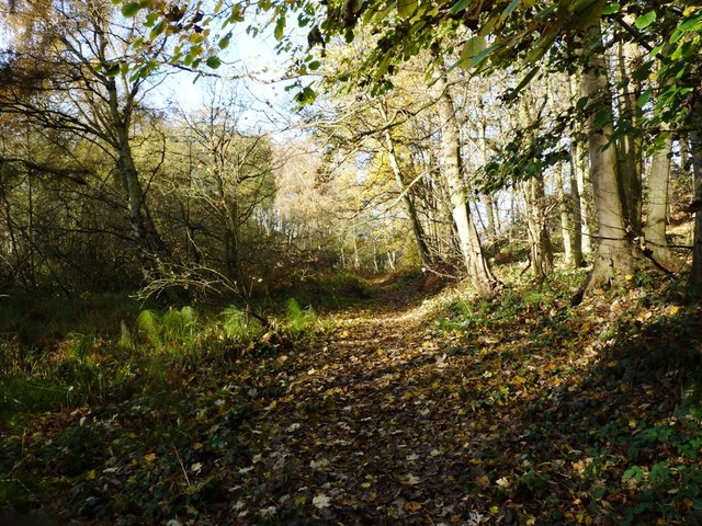
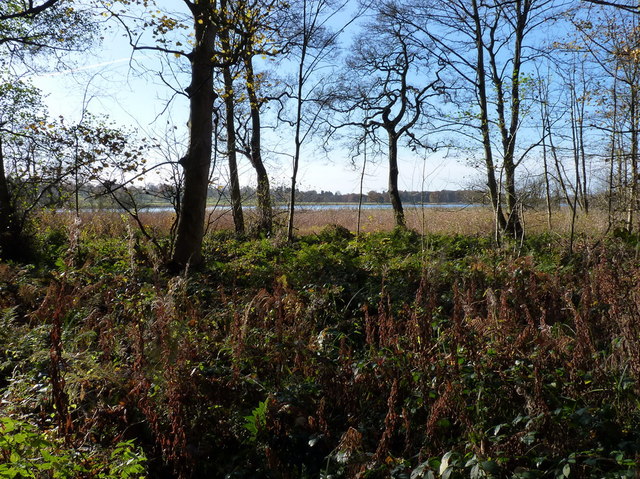
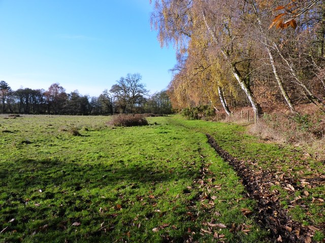
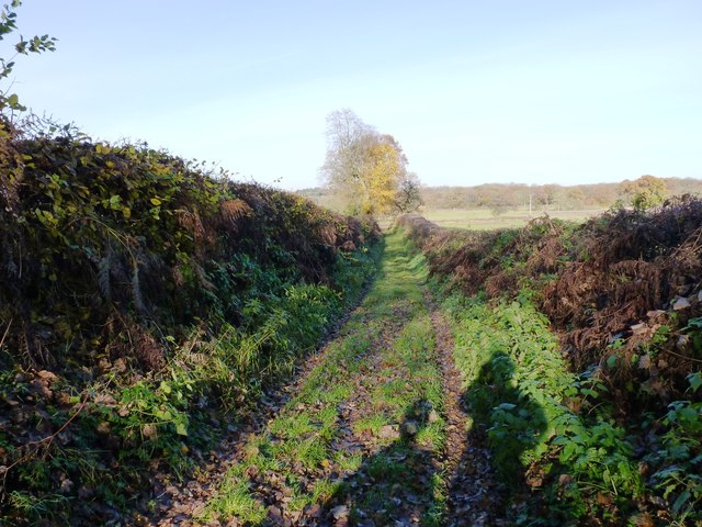
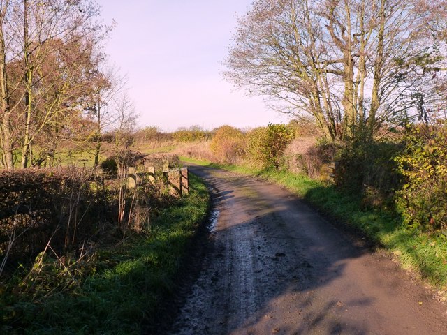
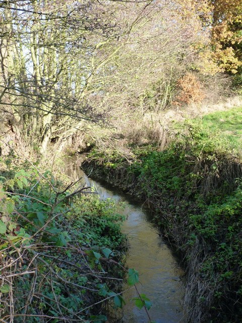
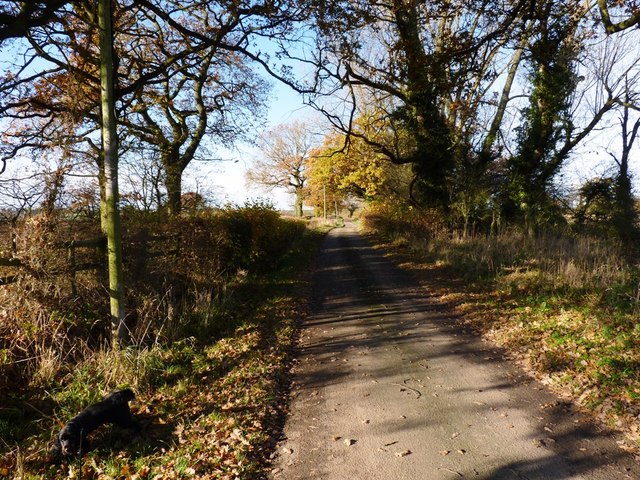
Anc's Hill is known for its picturesque views of the surrounding countryside, offering visitors a panoramic vista that extends for miles. The hill itself is covered in lush greenery, with a mix of grasslands, shrubs, and trees. It is a popular destination for hikers and nature enthusiasts, who are drawn to its tranquil and serene atmosphere.

The hill has a rich history, with evidence of human activity dating back to ancient times. Archaeological discoveries have revealed the presence of ancient burial mounds and other prehistoric features on the hillside. These findings indicate that Anc's Hill held significant cultural and spiritual importance to the communities that inhabited the area in the past.

Today, Anc's Hill is a designated Area of Outstanding Natural Beauty, recognized for its unique ecological and geological characteristics. The hill is home to a diverse range of plant and animal species, including several rare and protected varieties. It provides a vital habitat for wildlife, contributing to the overall biodiversity of the region.

In summary, Anc's Hill is a captivating natural landmark in Staffordshire, offering visitors breathtaking views, a glimpse into the area's rich history, and a haven for wildlife.

If you have any feedback on the listing, please let us know in the comments section below.
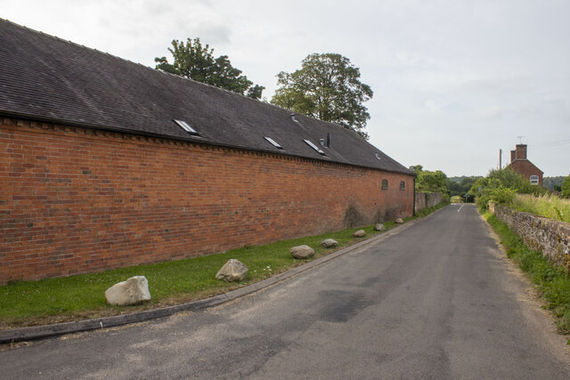
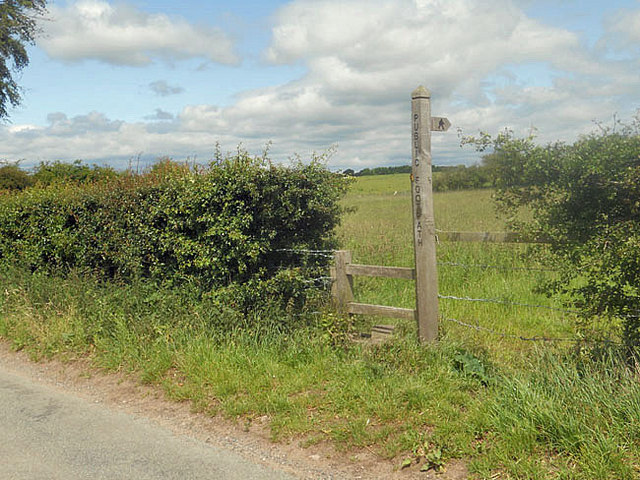
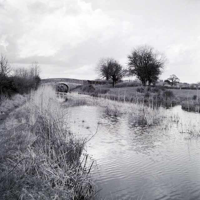
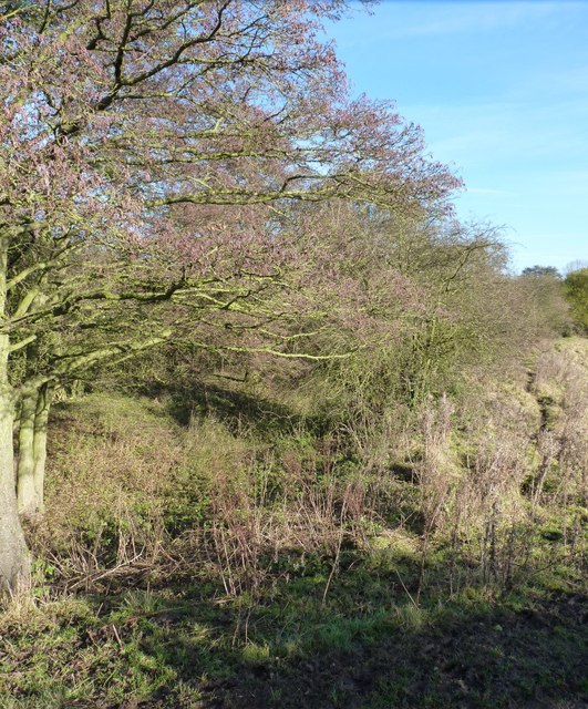
Anc's Hill Images

Images are sourced within 2km of 52.783551/-2.3340551 or Grid Reference SJ7720. Thanks to Geograph Open Source API. All images are credited.

Coley Mill Farm Converted vernacular farm building at Coley Mill Farm
Coley Mill Farm
Converted vernacular farm building at Coley Mill Farm
Sign and stile to a public footpath
Blacklane Bridge, Newport Branch, Shropshire Union Canal, 1965 In 1965 this abandoned canal looked as if only a little work could restore it. Sadly this is far from the case now. The bushes and mound on the right must have been bulldozed into the canal which is now level with the fields, and the lock beyond the bridge has gone, although the bridge survives, apparently in good condition. This was bridge 5 on the branch, and oddly carries Cliffs Lane, not Black Lane.
Blacklane Bridge, Newport Branch, Shropshire Union Canal, 1965
In 1965 this abandoned canal looked as if only a little work could restore it. Sadly this is far from the case now. The bushes and mound on the right must have been bulldozed into the canal which is now level with the fields, and the lock beyond the bridge has gone, although the bridge survives, apparently in good condition. This was bridge 5 on the branch, and oddly carries Cliffs Lane, not Black Lane.
The old canal heading for Norbury Junction After falling into disuse before the 1960s, this branch of the Shropshire Union canal that ran from Norbury Junction through to Trench, Wappenshall and the East Shropshire coalfield, has now been filled in. I find this rather sad.
The old canal heading for Norbury Junction
After falling into disuse before the 1960s, this branch of the Shropshire Union canal that ran from Norbury Junction through to Trench, Wappenshall and the East Shropshire coalfield, has now been filled in. I find this rather sad.
Bridleway gate and fence south of Sutton Yes, it was as muddy as it looks, the cattle in the fields here had seen to that.
Bridleway gate and fence south of Sutton
Yes, it was as muddy as it looks, the cattle in the fields here had seen to that.
There's no avoiding it... Try as we might (and Daft Dog didn't try very hard), walking through here on the bridleway means that you're going to get filthy. All good fun.
There's no avoiding it...
Try as we might (and Daft Dog didn't try very hard), walking through here on the bridleway means that you're going to get filthy. All good fun.
The west side of Thistleyfield Covert These cattle are responsible for some fine muddy stretches in the field to the left, but this end of it seemed rather more grassy.
The west side of Thistleyfield Covert
These cattle are responsible for some fine muddy stretches in the field to the left, but this end of it seemed rather more grassy.
Bridleway on the south side of Thistleyfield Covert This area borders part of the Aqualate Mere National Nature Reserve, which surrounds the mere itself. It's leased from the estate by Natural England, and has a network of bridleways providing access around the reserve.
Bridleway on the south side of Thistleyfield Covert
This area borders part of the Aqualate Mere National Nature Reserve, which surrounds the mere itself. It's leased from the estate by Natural England, and has a network of bridleways providing access around the reserve.
Bridleway heading towards Aqualate Mere Daft Dog remains on the lead, as the next field holds a flock of sheep that he's not yet spotted.
Bridleway heading towards Aqualate Mere
Daft Dog remains on the lead, as the next field holds a flock of sheep that he's not yet spotted.
Bridleway alongside Thistleyfield Covert A good bridleway runs right along the south side of the wood, fairly firm underfoot/tyre/hoof. The same cannot be said of the same bridleway further west approaching Forton, which is a proper mud-fest in places at this time of year.
Bridleway alongside Thistleyfield Covert
A good bridleway runs right along the south side of the wood, fairly firm underfoot/tyre/hoof. The same cannot be said of the same bridleway further west approaching Forton, which is a proper mud-fest in places at this time of year.
Bridleway bridge near New Guild Although barely visible due to the undergrowth, and the fact that much of it has been washed out & collapsed, a traditional arched packhorse bridge crosses this tiny stream.
Bridleway bridge near New Guild
Although barely visible due to the undergrowth, and the fact that much of it has been washed out & collapsed, a traditional arched packhorse bridge crosses this tiny stream.
Bridleway through the woods This woodland floor is a riot of bluebells in the spring.
Bridleway through the woods
This woodland floor is a riot of bluebells in the spring.
Aqualate Mere Or, rather more accurately, a distant view of the mere. From the north side, it's actually quite hard to get to, as the mere is very shallow generally, and the shore is marshy for a long way out. So it's a case of wade, or put up with a distant view.
The mere itself is an Ice Age relic, a large kettle hole that formed when a remnant piece of the glacial icesheet remained embedded in the till, melting more slowly than the surrounding glacier. When it finally disappeared, it left a depression in the land which has been filled with water ever since.
Aqualate Mere
Or, rather more accurately, a distant view of the mere. From the north side, it's actually quite hard to get to, as the mere is very shallow generally, and the shore is marshy for a long way out. So it's a case of wade, or put up with a distant view. The mere itself is an Ice Age relic, a large kettle hole that formed when a remnant piece of the glacial icesheet remained embedded in the till, melting more slowly than the surrounding glacier. When it finally disappeared, it left a depression in the land which has been filled with water ever since.
The bridleway back towards Forton Dry and pleasant at this end where it runs through the Nature Reserve and adjacent to the woods; it's rather a quagmire in places towards Forton.
The bridleway back towards Forton
Dry and pleasant at this end where it runs through the Nature Reserve and adjacent to the woods; it's rather a quagmire in places towards Forton.
A track down to the lane A farm track, but also a part of the bridleway network that runs around the northern side of the Aqualate Park and mere.
A track down to the lane
A farm track, but also a part of the bridleway network that runs around the northern side of the Aqualate Park and mere.
The bridge over the Wood Brook
Wood Brook A small stream that rises over to the NE near Norbury Junction, and flows into Aqualate Mere in <a href="https://www.geograph.org.uk/gridref/SJ7720">SJ7720</a>. An old packhorse bridge crosses it in <a href="https://www.geograph.org.uk/photo/3230830">SJ7720 : Bridleway bridge near New Guild</a>
Wood Brook
A small stream that rises over to the NE near Norbury Junction, and flows into Aqualate Mere in SJ7720. An old packhorse bridge crosses it in SJ7720 : Bridleway bridge near New Guild
Guild Lane, or Via Devana Part of the old, Roman, route from Colchester to Chester ('Deva'), where it passes through the fertile lowlands of west Staffordshire. <span class="nowrap"><a title="http://en.wikipedia.org/wiki/Via_Devana" rel="nofollow ugc noopener" href="http://en.wikipedia.org/wiki/Via_Devana">Link</a><img style="margin-left:2px;" alt="External link" title="External link - shift click to open in new window" src="https://s1.geograph.org.uk/img/external.png" width="10" height="10"/></span>
Guild Lane, or Via Devana
Part of the old, Roman, route from Colchester to Chester ('Deva'), where it passes through the fertile lowlands of west Staffordshire. LinkExternal link
Show me another place!

Anc's Hill is located at Grid Ref: SJ7720 (Lat: 52.783551, Lng: -2.3340551)

Administrative County: Staffordshire

District: Stafford

Police Authority: Staffordshire

What 3 Words

///seeing.commended.slim. Near Newport, Shropshire

Related Wikis

Aqualate Mere

Aqualate Mere, in Staffordshire, is the largest natural lake in the English Midlands and is managed as a national nature reserve (NNR) by Natural England...

Back Brook, English Midlands

The Back Brook is a minor watercourse in the English counties of Shropshire and Staffordshire, in places forming the boundary between the two, and located...

Aqualate Hall

Aqualate Hall, a 20th-century country house, is located in Forton, Staffordshire, England, some 2 miles (3.2 km) east of the market town of Newport, Shropshire...

Forton Hall

Forton Hall is a 17th-century country house situated in the village of Forton, Staffordshire, close to the Shropshire border at Newport. It is a Grade...

Forton, Staffordshire

Forton is a small village and civil parish in Staffordshire, England, situated east of the market town of Newport, Shropshire. The civil Parish population...

Gnosall Rural District

Gnosall was a rural district in Staffordshire, England from 1894 to 1934. It was formed under the Local Government Act 1894 from that part of the Newport...

Norbury Junction

Norbury Junction (grid reference SJ793228) is a hamlet and former canal junction which lies about 1 mile (1.6 km) to the south east of Norbury, in Staffordshire...

Outwoods, Stafford

Outwoods is a hamlet in the English county of Staffordshire. Outwoods is located in the extreme west of the county near to the town of Newport, Shropshire...

Nearby Amenities

Located within 500m of 52.783551,-2.3340551
Source: landsat
Lat/Long: 52.7829269/-2.3410965
Source: landsat
Lat/Long: 52.7832352/-2.3385344
Source: landsat
Lat/Long: 52.7830379/-2.3355421
Source: landsat
Lat/Long: 52.7823197/-2.3343287
Source: landsat
Lat/Long: 52.7817751/-2.3337375
Source: landsat
Lat/Long: 52.7809767/-2.331223
Source: landsat
Lat/Long: 52.7801197/-2.3295896
Fixme: footpath continues
Lat/Long: 52.7853583/-2.3378664
The data included in this document is from www.openstreetmap.org. The data is made available under ODbL.

Have you been to Anc's Hill?

Leave your review of Anc's Hill below (or comments, questions and feedback).