Green Slack Hill
Hill, Mountain in Yorkshire Craven
England
Green Slack Hill

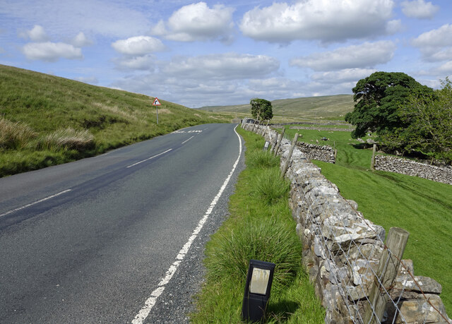
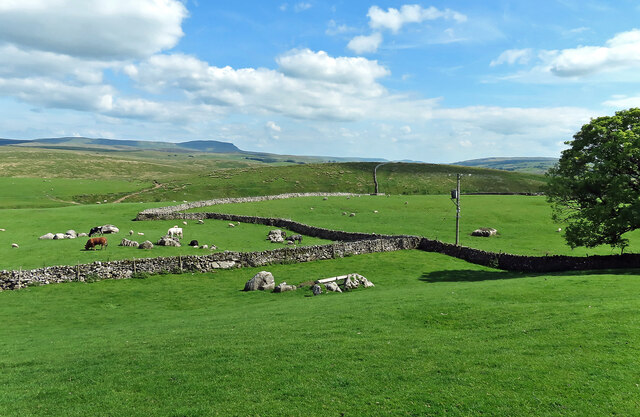
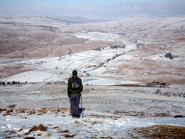
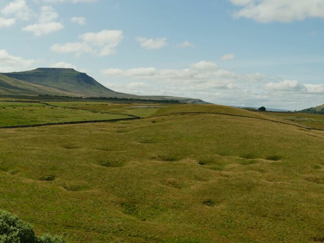
Green Slack Hill is a prominent hill located in the county of Yorkshire, England. It is situated in the western part of the Yorkshire Dales National Park, specifically within the Yorkshire Dales Area of Outstanding Natural Beauty. Rising to an elevation of approximately 520 meters (1,706 feet), Green Slack Hill is considered one of the higher hills in the region.
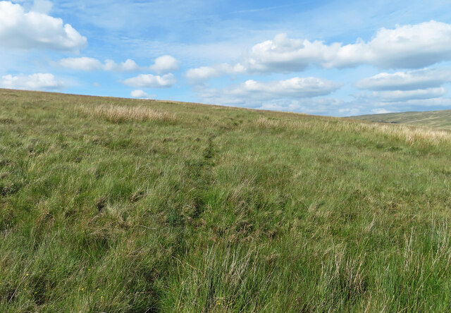
The hill is characterized by its rounded summit and gentle slopes, covered with an array of vegetation, including heather, grasses, and scattered trees. It offers breathtaking panoramic views of the surrounding countryside, with vistas extending across vast expanses of rolling hills, moorland, and picturesque valleys. On a clear day, it is even possible to glimpse the distant peaks of the Lake District National Park to the west.
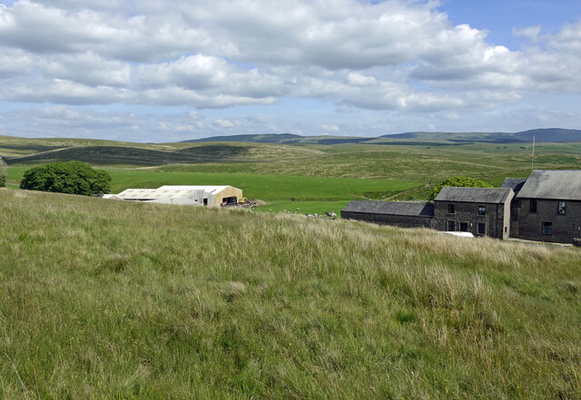
Green Slack Hill is a popular destination for hikers and nature enthusiasts, attracting visitors who seek to explore its peaceful and unspoiled landscapes. Several well-maintained footpaths traverse the hill, allowing visitors to enjoy leisurely walks or more challenging hikes, depending on their preferences and fitness levels.
The hill is also home to a diverse range of wildlife, including various bird species, such as curlews and lapwings, as well as occasional sightings of hares and deer. This makes it an attractive spot for birdwatching and wildlife photography.
Overall, Green Slack Hill offers a tranquil retreat from the bustling city life, providing visitors with an opportunity to immerse themselves in the natural beauty and tranquility of the Yorkshire Dales.
If you have any feedback on the listing, please let us know in the comments section below.
Green Slack Hill Images
Images are sourced within 2km of 54.215127/-2.3454643 or Grid Reference SD7779. Thanks to Geograph Open Source API. All images are credited.


Green Slack Hill is located at Grid Ref: SD7779 (Lat: 54.215127, Lng: -2.3454643)
Division: West Riding
Administrative County: North Yorkshire
District: Craven
Police Authority: North Yorkshire
What 3 Words
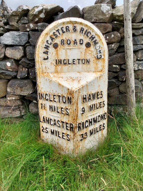
///chops.roof.collision. Near Ingleton, North Yorkshire
Nearby Locations
Related Wikis

Ribblehead
Ribblehead is the area of moorland at the head of the River Ribble in the area known as Ribblesdale, in the Yorkshire Dales National Park, England. Ribblehead...

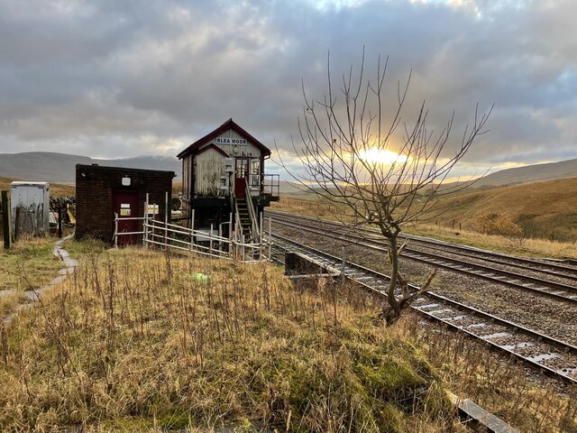
Ribblehead railway station
Ribblehead is a railway station on the Settle and Carlisle Line, which runs between Carlisle and Leeds via Settle. The station, situated 52 miles 17 chains...

Ribblehead Quarry
Ribblehead Quarry is a former limestone quarry next to Ribblehead railway station in the Yorkshire Dales National Park, North Yorkshire, England. It had...

Ribblehead Viaduct
The Ribblehead Viaduct or Batty Moss Viaduct carries the Settle–Carlisle railway across Batty Moss in the Ribble Valley at Ribblehead, in North Yorkshire...
Related Videos

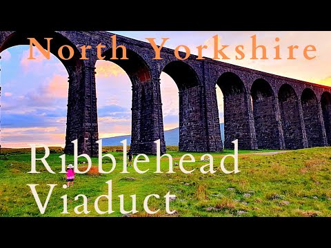
Ribblehead Viaduct Easy Walking Guide | Yorkshire Dales National Park, English Countryside Walk
Our our latest Yorkshire Walking Guide we will show you how to complete the Ribblehead Viaduct circular route.

Hiking Whernside and Ribblehead Viaduct - Yorkshire Dales (4k)
After weeks of miserable weather we finally got a weekend with a reasonable forcast so I decided to head to Ribblehead viaduct ...

Hiking Whernside and Ribblehead Viaduct - Yorkshire Dales
On our recent road trip around the UK, Grant and I visited the Ribblehead Viaduct and couldn't resist returning to take in some of ...
A Beautiful Sunset in Ribblehead Viaduct | North Yorkshire
Heading to Ribblehead Viaduct from Todber Valley Holiday Park, it takes 25 miles/45 mins drive to reach a stunning Ribblehead ...
Nearby Amenities
Located within 500m of 54.215127,-2.3454643Have you been to Green Slack Hill?
Leave your review of Green Slack Hill below (or comments, questions and feedback).