Tanner's Hill
Hill, Mountain in Worcestershire Wyre Forest
England
Tanner's Hill
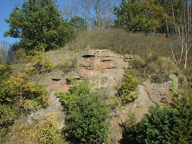
Tanner's Hill is a prominent hill located in Worcestershire, England. Situated near the town of Kidderminster, it forms part of the wider landscape of the Wyre Forest District. With an elevation of around 230 meters (750 feet), it offers stunning panoramic views of the surrounding countryside.
The hill derives its name from the historical association with the tanning industry. In the past, it was an ideal location for tanners due to the availability of water sources, as well as an abundance of oak trees for tannin extraction. However, these industrial activities have long ceased, and Tanner's Hill is now primarily appreciated for its natural beauty and recreational opportunities.
Covered in lush greenery, the hill is mostly a mix of deciduous and coniferous trees, which create a rich and diverse ecosystem. The area is a haven for wildlife, with a variety of bird species and small mammals making their home here. Walking trails and footpaths crisscross the hill, providing visitors with the opportunity to explore its many attractions.
At the top of Tanner's Hill, visitors are rewarded with breathtaking views of the Worcestershire countryside. On a clear day, one can see as far as the Malvern Hills to the southwest and the Clent Hills to the east. This vantage point also provides an excellent spot for nature photography and enjoying picnics amidst the tranquil surroundings.
Tanner's Hill is a cherished natural landmark in Worcestershire, attracting locals and tourists alike who seek solace in its peaceful atmosphere and stunning vistas.
If you have any feedback on the listing, please let us know in the comments section below.
Tanner's Hill Images
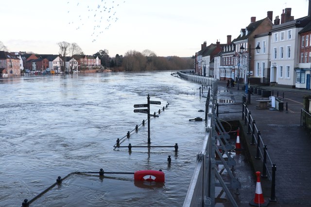
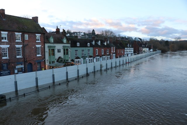
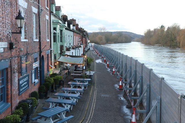
Images are sourced within 2km of 52.379103/-2.3320353 or Grid Reference SO7775. Thanks to Geograph Open Source API. All images are credited.
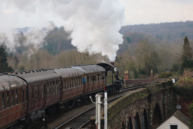
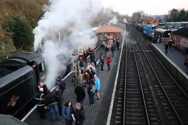
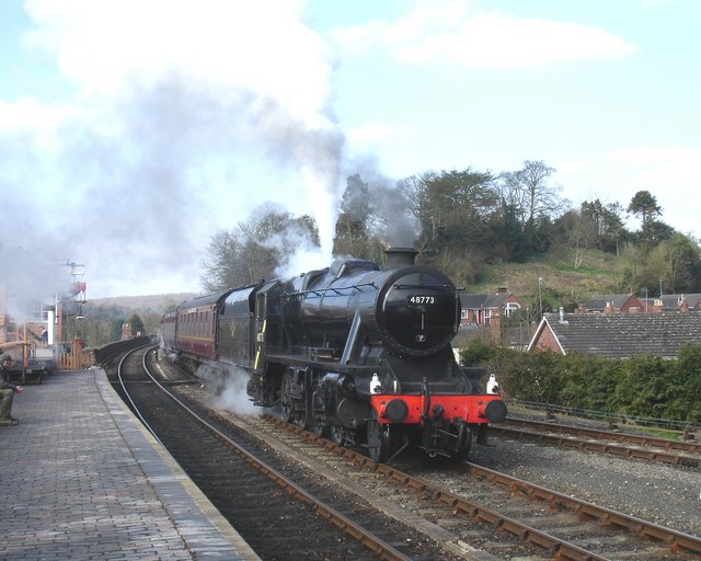
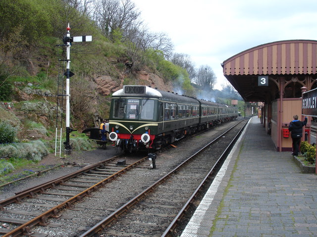

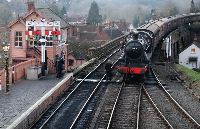
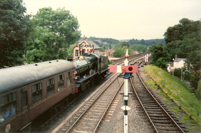
![Trains Pass at Bewdley BR Standard Pacific No 71000 "Duke of Gloucester" [left] and 'Manor' class 4-6-0 No 7812 "Erlestoke Manor" pass at Bewdley station.](https://s0.geograph.org.uk/geophotos/02/39/67/2396756_e38af8eb.jpg)
Tanner's Hill is located at Grid Ref: SO7775 (Lat: 52.379103, Lng: -2.3320353)
Administrative County: Worcestershire
District: Wyre Forest
Police Authority: West Mercia
What 3 Words
///manifests.deed.dunk. Near Bewdley, Worcestershire
Nearby Locations
Related Wikis

Dowles
Dowles is a hamlet in the civil parish of Upper Arley, in the Wyre Forest district, in the county of Worcestershire, England. It is about 3 miles from...

Dowles Brook
Dowles Brook flows through the heart of the Wyre Forest, into the former civil parish of Dowles and into the River Severn. == History == In 1902, ornithologist...

Bewdley Rowing Club
Bewdley Rowing Club is a rowing club on the River Severn, based at Riverside North, Wribbenhall, Bewdley, Wyre Forest District, West Midlands. == Club... ==
Tickenhill Palace
Tickenhill Palace (also known as Tickenhill House or Tickenhall Manor) is a historic building in Bewdley, Worcestershire, England. It is a grade II* listed...

Bewdley Museum
Bewdley Museum is a museum in the town of Bewdley in Worcestershire, England. It is managed by the Wyre Forest District Council. == History == The Bewdley...

Bewdley Guildhall
Bewdley Guildhall is a municipal building in Load Street in Bewdley, Worcestershire, England. The structure, which is the meeting place of Bewdley Town...

Bewdley
Bewdley ( pronunciation) is a town and civil parish in the Wyre Forest District in Worcestershire, England on the banks of the River Severn. It is in the...

A456 road
Known as the Hagley Road in Birmingham, the A456 is a main road in England running between Central Birmingham and Woofferton, Shropshire, south of Ludlow...
Nearby Amenities
Located within 500m of 52.379103,-2.3320353Have you been to Tanner's Hill?
Leave your review of Tanner's Hill below (or comments, questions and feedback).