Hart Hill

Hill, Mountain in Somerset South Somerset

England

Hart Hill

The A303 Taken just north of West Bouton and just south of Bourton.
The A303 Credit: Trevor Harris

Hart Hill, located in Somerset, is a picturesque hill that offers stunning views of the surrounding countryside. With an elevation of approximately 300 meters, it is considered a prominent landmark in the area. The hill is situated near the small village of Hartcliffe, which adds to its charm and tranquility.

Covered in lush green vegetation, Hart Hill attracts nature enthusiasts and hikers who seek to explore its scenic trails. The hill is adorned with a variety of trees, including oak, beech, and ash, creating a rich and diverse ecosystem. These trees provide shelter for numerous bird species, making it a popular destination for birdwatchers.

Visitors to Hart Hill can enjoy panoramic views of the rolling hills and farmland that stretch out before them. On clear days, it is even possible to see the Bristol Channel and the Welsh coastline in the distance. The hill's elevated position also allows for breathtaking sunrises and sunsets, providing an idyllic backdrop for photographers and nature lovers.

In addition to its natural beauty, Hart Hill holds historical significance. The remains of an Iron Age hillfort can be found at the summit, serving as a reminder of the area's ancient past. Archaeological excavations have uncovered artifacts and evidence of human occupation, offering insights into the hill's historical significance.

Overall, Hart Hill in Somerset is a captivating destination that combines natural beauty, recreational opportunities, and historical intrigue. Whether one is seeking a peaceful hike, stunning vistas, or a glimpse into the region's past, Hart Hill offers a memorable experience for all who visit.

If you have any feedback on the listing, please let us know in the comments section below.
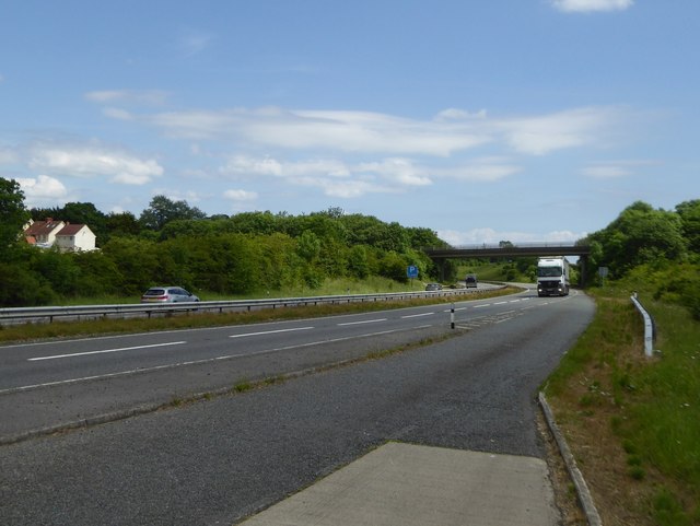
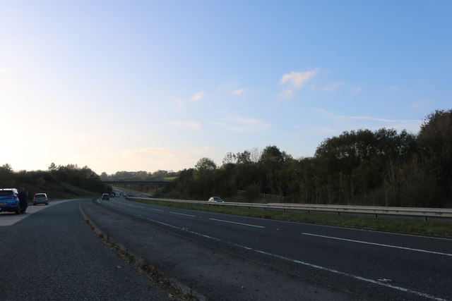
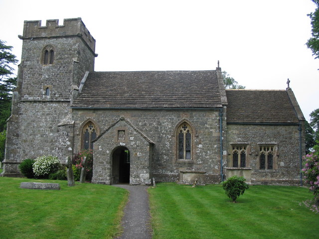
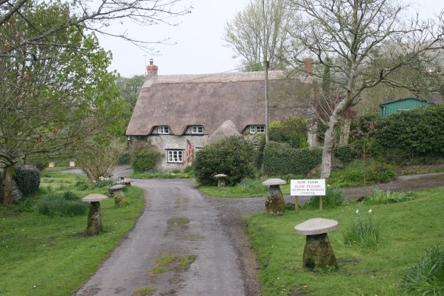
Hart Hill Images

Images are sourced within 2km of 51.084716/-2.3368249 or Grid Reference ST7631. Thanks to Geograph Open Source API. All images are credited.

The A303 Taken just north of West Bouton and just south of Bourton.
The A303
Taken just north of West Bouton and just south of Bourton.
Bourton : A303 Looking along the A303.
Bourton : A303
Looking along the A303.
Bourton : A303 Heading under the West Bourton Road bridge.
Bourton : A303
Heading under the West Bourton Road bridge.
Bourton : A303 Looking along the A303.
Bourton : A303
Looking along the A303.
Bourton : A303 Layby A layby alongside the A303.
Bourton : A303 Layby
A layby alongside the A303.
A303, westbound The A303 is a main trunk road running 92 miles between Basingstoke and Honiton. Along with the A30 and M3 it forms a major route between London and the South West. Much of the road is dual carriageway, but some stretches remain single and prone to congestion.

Wikipedia: <span class="nowrap"><a title="http://en.wikipedia.org/wiki/A303_road" rel="nofollow ugc noopener" href="http://en.wikipedia.org/wiki/A303_road">Link</a><img style="margin-left:2px;" alt="External link" title="External link - shift click to open in new window" src="https://s1.geograph.org.uk/img/external.png" width="10" height="10"/></span>
A303, westbound
The A303 is a main trunk road running 92 miles between Basingstoke and Honiton. Along with the A30 and M3 it forms a major route between London and the South West. Much of the road is dual carriageway, but some stretches remain single and prone to congestion. Wikipedia: LinkExternal link
West Bourton Road Bridge, A303 The A303 is a main trunk road running 92 miles between Basingstoke and Honiton. Along with the A30 and M3 it forms a major route between London and the South West. Much of the road is dual carriageway, but some stretches remain single and prone to congestion.

Wikipedia: <span class="nowrap"><a title="http://en.wikipedia.org/wiki/A303_road" rel="nofollow ugc noopener" href="http://en.wikipedia.org/wiki/A303_road">Link</a><img style="margin-left:2px;" alt="External link" title="External link - shift click to open in new window" src="https://s1.geograph.org.uk/img/external.png" width="10" height="10"/></span>
West Bourton Road Bridge, A303
The A303 is a main trunk road running 92 miles between Basingstoke and Honiton. Along with the A30 and M3 it forms a major route between London and the South West. Much of the road is dual carriageway, but some stretches remain single and prone to congestion. Wikipedia: LinkExternal link
Footbridge, A303 The A303 is a main trunk road running 92 miles between Basingstoke and Honiton. Along with the A30 and M3 it forms a major route between London and the South West. Much of the road is dual carriageway, but some stretches remain single and prone to congestion.

Wikipedia: <span class="nowrap"><a title="http://en.wikipedia.org/wiki/A303_road" rel="nofollow ugc noopener" href="http://en.wikipedia.org/wiki/A303_road">Link</a><img style="margin-left:2px;" alt="External link" title="External link - shift click to open in new window" src="https://s1.geograph.org.uk/img/external.png" width="10" height="10"/></span>
Footbridge, A303
The A303 is a main trunk road running 92 miles between Basingstoke and Honiton. Along with the A30 and M3 it forms a major route between London and the South West. Much of the road is dual carriageway, but some stretches remain single and prone to congestion. Wikipedia: LinkExternal link
West Bourton Road bridge over A303 Seen from a lay-by on the westbound carriageway
West Bourton Road bridge over A303
Seen from a lay-by on the westbound carriageway
Layby on the A303, West Bourton
The A303, West Bourton
A303 heading west The bridge is for farm use and also carries a public footpath.
A303 heading west
The bridge is for farm use and also carries a public footpath.
Bourton : A303 Looking along the A303.
Bourton : A303
Looking along the A303.
A303 near Chaffeymoor Farm The A303 is a main trunk road running 92 miles between Basingstoke and Honiton. Along with the A30 and M3 it forms a major route between London and the South West. Much of the road is dual carriageway, but some stretches remain single and prone to congestion.

Wikipedia: <span class="nowrap"><a title="http://en.wikipedia.org/wiki/A303_road" rel="nofollow ugc noopener" href="http://en.wikipedia.org/wiki/A303_road">Link</a><img style="margin-left:2px;" alt="External link" title="External link - shift click to open in new window" src="https://s1.geograph.org.uk/img/external.png" width="10" height="10"/></span>
A303 near Chaffeymoor Farm
The A303 is a main trunk road running 92 miles between Basingstoke and Honiton. Along with the A30 and M3 it forms a major route between London and the South West. Much of the road is dual carriageway, but some stretches remain single and prone to congestion. Wikipedia: LinkExternal link
A303 near Bourton The A303 is a main trunk road running 92 miles between Basingstoke and Honiton. Along with the A30 and M3 it forms a major route between London and the South West. Much of the road is dual carriageway, but some stretches remain single and prone to congestion.

Wikipedia: <span class="nowrap"><a title="http://en.wikipedia.org/wiki/A303_road" rel="nofollow ugc noopener" href="http://en.wikipedia.org/wiki/A303_road">Link</a><img style="margin-left:2px;" alt="External link" title="External link - shift click to open in new window" src="https://s1.geograph.org.uk/img/external.png" width="10" height="10"/></span>
A303 near Bourton
The A303 is a main trunk road running 92 miles between Basingstoke and Honiton. Along with the A30 and M3 it forms a major route between London and the South West. Much of the road is dual carriageway, but some stretches remain single and prone to congestion. Wikipedia: LinkExternal link
Layby on the A303 near Bourton The bridge carries a public footpath.
Layby on the A303 near Bourton
The bridge carries a public footpath.
Show me another place!

Hart Hill is located at Grid Ref: ST7631 (Lat: 51.084716, Lng: -2.3368249)

Administrative County: Somerset

District: South Somerset

Police Authority: Avon and Somerset

What 3 Words

///introduce.unity.dare. Near Bourton, Dorset

Related Wikis

Nearby Amenities

Located within 500m of 51.084716,-2.3368249
The data included in this document is from www.openstreetmap.org. The data is made available under ODbL.

Have you been to Hart Hill?

Leave your review of Hart Hill below (or comments, questions and feedback).