Pen Pits
Heritage Site in Somerset South Somerset
England
Pen Pits
Pen Pits is a heritage site located in Somerset, England. Situated near the village of Ashcott, it is a unique and historically significant site that has attracted numerous visitors and researchers over the years.
The site is known for its extensive network of ancient earthworks, comprising a series of circular pits or depressions that give it its name. These pits, believed to be of prehistoric origin, cover an area of approximately 200 acres. The pits vary in size, with some measuring up to 15 meters in diameter and 3 meters in depth. The purpose of these pits remains a subject of speculation, with theories ranging from defensive structures to storage facilities.
Excavations and surveys conducted at Pen Pits have unearthed various artifacts, including pottery fragments, flint tools, and animal bones, providing valuable insights into the lives and activities of the people who occupied the area in ancient times. The site has been found to have been continuously inhabited from the Late Bronze Age to the Iron Age, approximately between 1000 BC and 100 AD.
Pen Pits is also known for its rich biodiversity. The site encompasses a range of habitats, including woodland, grassland, and wetland areas, which support a diverse array of flora and fauna. It has been designated as a Site of Special Scientific Interest (SSSI) due to its importance for wildlife conservation.
Visitors to Pen Pits can explore the various trails and footpaths that wind through the site, allowing them to appreciate both its historical and natural heritage. Interpretive panels and information boards provide further insight into the site's significance and its ecological importance.
If you have any feedback on the listing, please let us know in the comments section below.
Pen Pits Images
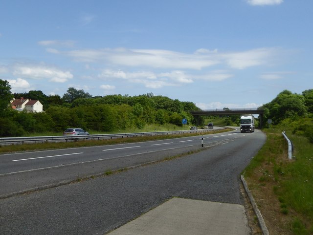
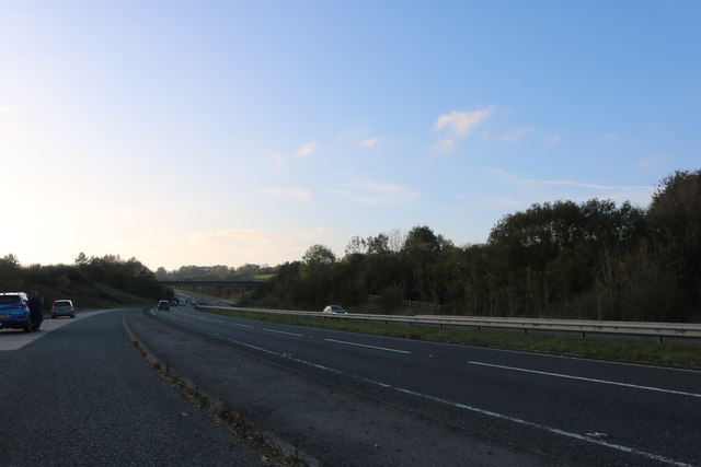
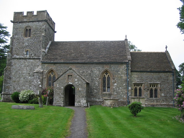
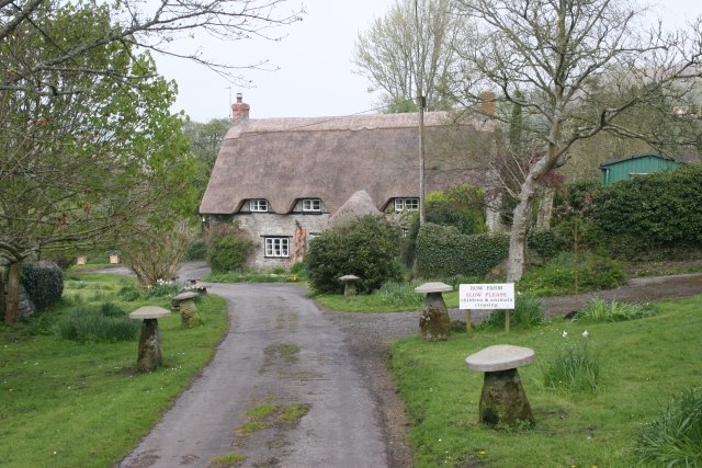
Images are sourced within 2km of 51.082/-2.335 or Grid Reference ST7631. Thanks to Geograph Open Source API. All images are credited.


Pen Pits is located at Grid Ref: ST7631 (Lat: 51.082, Lng: -2.335)
Administrative County: Somerset
District: South Somerset
Police Authority: Avon and Somerset
What 3 Words
///prospered.match.emerald. Near Bourton, Dorset
Nearby Locations
Related Wikis

Church of St Michael and All Angels, Penselwood
The Anglican Church of St Michael and All Angels in Penselwood, Somerset, England was built in the 15th century. It is a Grade II* listed building. �...
Penselwood
Penselwood is a village and civil parish in the English county of Somerset. It is located 4 miles (6.4 km) north east of Wincanton, 4 miles (6.4 km) south...

Bourton, Dorset
Bourton is a village and civil parish in north Dorset, England, situated north of the A303 road on the border with Somerset and Wiltshire between Mere...

Ballands Castle
Ballands Castle was a castle near the village of Penselwood, Somerset, England. == History == Balland Castle was a motte and bailey castle, probably built...
Zeals
Zeals is a village and civil parish in southwest Wiltshire, England. The village is about 2.2 miles (3.5 km) west of Mere, next to the A303 road towards...

RAF Zeals
Royal Air Force Zeals, or more simply RAF Zeals, is a former Royal Air Force station in Wiltshire, sited to the north of the village of Zeals, next to...

Cockroad Wood Castle
Cockroad Wood Castle was a castle near Wincanton but now in the parish of Charlton Musgrove, Somerset, England. == History == Cockroad Wood Castle was...
Heath Hill Farm
Heath Hill Farm (grid reference ST757336) is a 20.73 hectare biological Site of Special Scientific Interest near Stourton in Wiltshire, notified in 1997...
Nearby Amenities
Located within 500m of 51.082,-2.335Have you been to Pen Pits?
Leave your review of Pen Pits below (or comments, questions and feedback).