Pen y Castell

Heritage Site in Cardiganshire

Wales

Pen y Castell

Road junction near Bont-goch
Road junction near Bont-goch Credit: John Lord

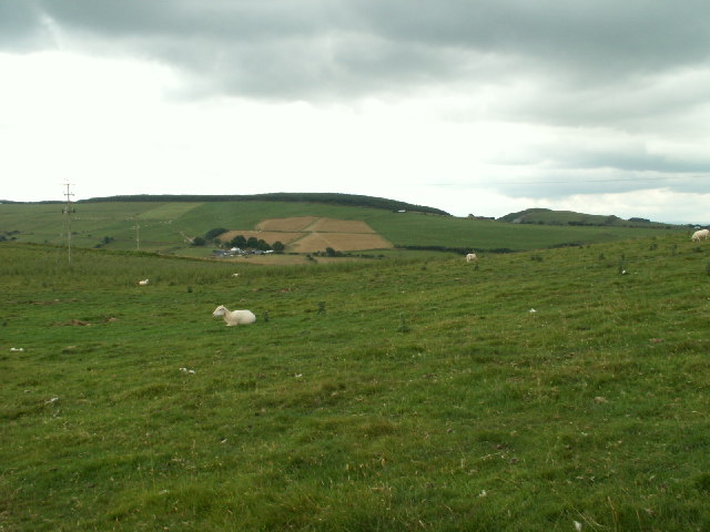
Pen y Castell is a historic site located in Cardiganshire, Wales. It is a hillfort that dates back to the Iron Age, with evidence of human occupation from as early as the 6th century BC. The site is situated on a prominent hilltop, offering panoramic views of the surrounding countryside.

The hillfort is roughly circular in shape, with a series of defensive ramparts and ditches encircling the site. Archaeological excavations have revealed evidence of roundhouses, storage pits, and other structures within the fort. It is believed that Pen y Castell was once a thriving settlement, possibly serving as a stronghold for a local tribe or community.

Today, Pen y Castell is a designated heritage site, protected by law for its historical significance. Visitors can explore the ancient earthworks and imagine what life was like for the people who once called this hillfort home. The site is a popular destination for hikers and history enthusiasts, offering a glimpse into Wales' ancient past.

If you have any feedback on the listing, please let us know in the comments section below.

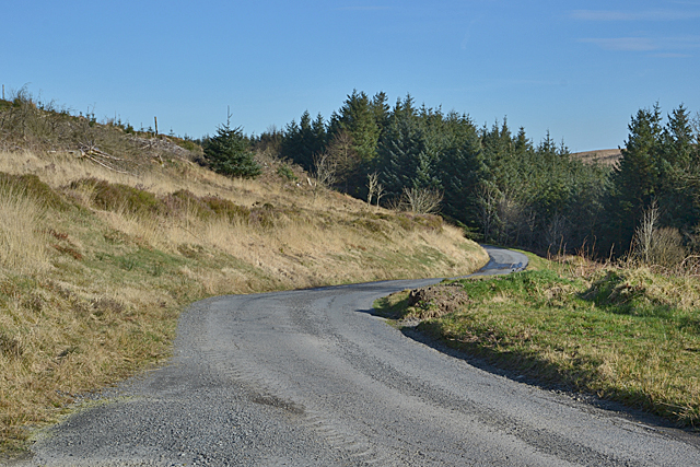
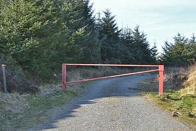
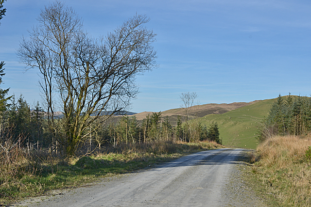
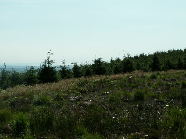
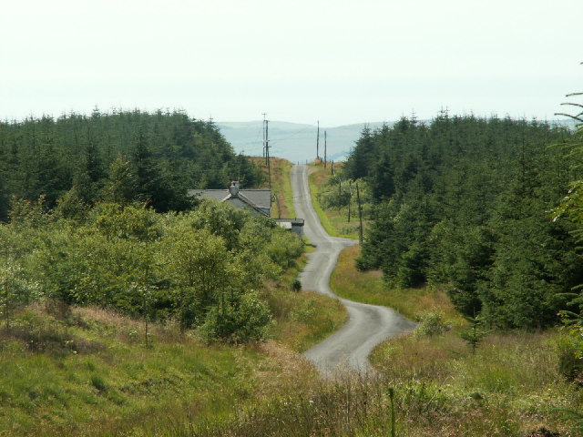
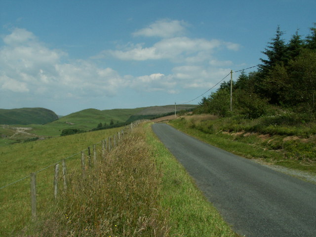
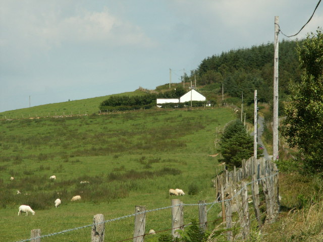
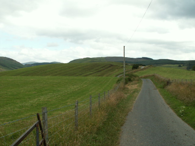
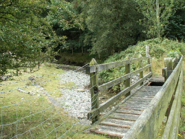
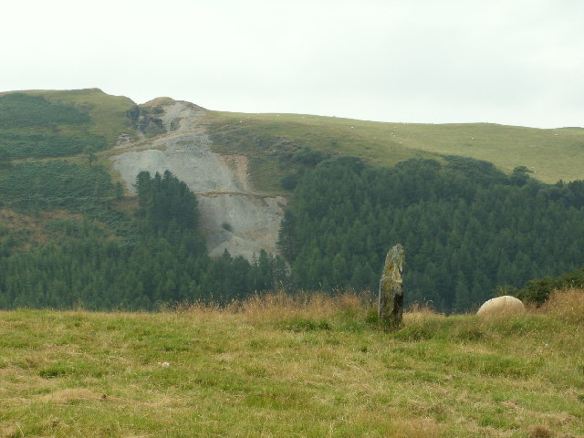
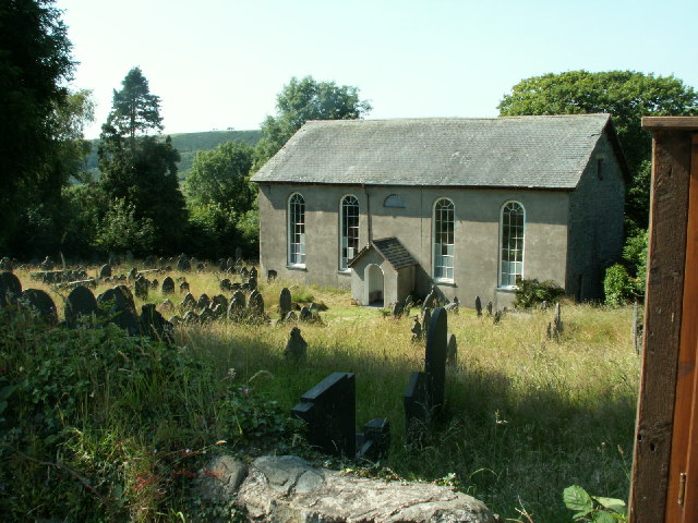
Pen y Castell Images

Images are sourced within 2km of 52.442/-3.935 or Grid Reference SN6884. Thanks to Geograph Open Source API. All images are credited.

Road junction near Bont-goch
Afon Leri at Bont-goch
The road bridge at Bont-goch
Bont-goch
Bont-goch
Ordnance Survey Cut Mark This OS cut mark can be found on the SE parapet of the bridge. It marks a point 174.483m above mean sea level.
Ordnance Survey Cut Mark
This OS cut mark can be found on the SE parapet of the bridge. It marks a point 174.483m above mean sea level.
Mountain road crossing Pen y Bryn-mawr Winding its way through forestry.
Mountain road crossing Pen y Bryn-mawr
Winding its way through forestry.
Forestry entrance on Pen y Bryn-mawr
Track to Blaencastell A forestry track which also gives access to Blaencastell. The Rheidol Study Centre was based here, subsequently taken over by the Rhoserchan Drug Rehabilitation Project, which went into liquidation in 2013. A signpost at the start of the track still indicates Rhoserchan.
Track to Blaencastell
A forestry track which also gives access to Blaencastell. The Rheidol Study Centre was based here, subsequently taken over by the Rhoserchan Drug Rehabilitation Project, which went into liquidation in 2013. A signpost at the start of the track still indicates Rhoserchan.
Hen bwmp dwr / An old water pump Note the modern hosepipe.
Hen bwmp dwr / An old water pump
Note the modern hosepipe.
Immature forestry Old forestry has been cleared (foreground) and new conifers planted. This block of trees is still only suitable for Christmas!
Immature forestry
Old forestry has been cleared (foreground) and new conifers planted. This block of trees is still only suitable for Christmas!
Banc Clawddmelyn The road runs straight for several miles along the top of this ridge, with forestry on either side at this point. Looking W.
Banc Clawddmelyn
The road runs straight for several miles along the top of this ridge, with forestry on either side at this point. Looking W.
Banc Clawddmelyn The road along Banc Clawddmelyn, looking E. towards the Nant-y-moch area.
Banc Clawddmelyn
The road along Banc Clawddmelyn, looking E. towards the Nant-y-moch area.
Pasture, Llwyn Prysg Pasture, house and forestry by the roadside near Llwyn Prysg
Pasture, Llwyn Prysg
Pasture, house and forestry by the roadside near Llwyn Prysg
Pasture, near Llety-Ifan Hen Rough pasture beside hill road leading E. to Llety-Ifan Hen.
Pasture, near Llety-Ifan Hen
Rough pasture beside hill road leading E. to Llety-Ifan Hen.
Pasture, Banc Troedrhiwseiri Upland pasture on Banc Troedrhiwseiri, with Mynydd Gorddu farm in the distance. Looking N.
Pasture, Banc Troedrhiwseiri
Upland pasture on Banc Troedrhiwseiri, with Mynydd Gorddu farm in the distance. Looking N.
Footbridge, Pen-bont Rhydybeddau Footbridge (disused?) across Nant Silo next to modern road bridge that replaces the original ford.
Footbridge, Pen-bont Rhydybeddau
Footbridge (disused?) across Nant Silo next to modern road bridge that replaces the original ford.
Cerrig-yr-Wyn One of the two standing stones called 'Cerrig-yr-Wyn', each about three ft high and about 200yds apart. Looking SW. The scar on the hillside opposite is the old Darren metal mine (in SN6782), which was originally worked in the mid 16th Cent. There is also the remains of a hill fort on top of the hill.
Cerrig-yr-Wyn
One of the two standing stones called 'Cerrig-yr-Wyn', each about three ft high and about 200yds apart. Looking SW. The scar on the hillside opposite is the old Darren metal mine (in SN6782), which was originally worked in the mid 16th Cent. There is also the remains of a hill fort on top of the hill.
Gatepost and standing stone Old stone gatepost and one of the two standing stones (in the middle of the field) that make up 'Cerrig-yr-Wyn'. Looking S.
Gatepost and standing stone
Old stone gatepost and one of the two standing stones (in the middle of the field) that make up 'Cerrig-yr-Wyn'. Looking S.
Show me another place!

Pen y Castell is located at Grid Ref: SN6884 (Lat: 52.442, Lng: -3.935)

Unitary Authority: Ceredigion

Police Authority: Dyfed Powys

What 3 Words

///dreamer.harmlessly.shredder. Near Bow Street, Ceredigion

Nearby Locations

Pen y Castell Garn-wen

Related Wikis

Pen-bont-rhyd-y-beddau

Pen-bont-rhyd-y-beddau is a small village in the community of Trefeurig, Ceredigion, Wales, which is 73.7 miles (118.6 km) from Cardiff and 174.8 miles...

Cwmsymlog

Cwmsymlog is a short valley, sheltering a hamlet of the same name, in Ceredigion, in the west of Wales. Once an important mining area, but the mining slowly...

Pen-Rhiw-Newydd

Penrhiwnewydd is a hamlet in the community of Trefeurig, Ceredigion, Wales, which is 74.1 miles (119.2 km) from Cardiff and 175.3 miles (282 km) from London...

Salem, Ceredigion

Salem is a small Welsh village in Ceredigion, located between the Afon Stewi and Nant Seilo rivers. The closest village is Penrhyn-coch. The Salem Independent...

Have you been to Pen y Castell?

Leave your review of Pen y Castell below (or comments, questions and feedback).