Pen y Dinas

Heritage Site in Merionethshire

Wales

Pen y Dinas

Caravan park beside the railway There is a beach access level crossing at this point with a park for vehicles and boat trolleys.
Caravan park beside the railway Credit: John Haynes

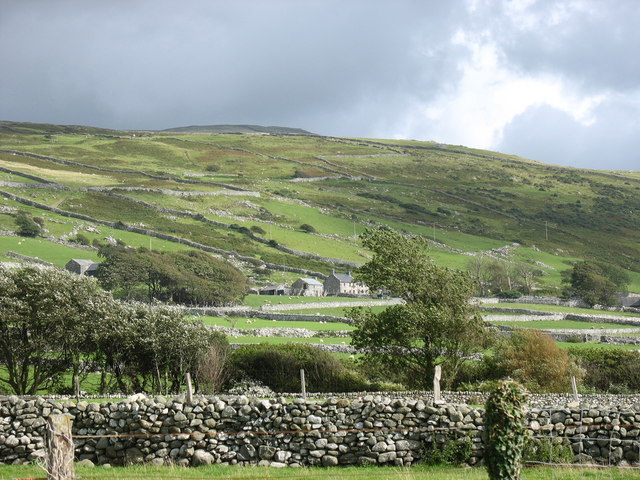
Pen y Dinas is a historic site located in the county of Merionethshire, Wales. It is known for its rich heritage and archaeological significance. The site sits atop a hill, providing panoramic views of the surrounding landscape.

The most prominent feature of Pen y Dinas is its Iron Age hillfort, which is believed to have been in use from around 2500 to 3000 years ago. The hillfort consists of a series of defensive earthworks, including ramparts and ditches, enclosing an area of approximately 2.5 hectares. The purpose of the hillfort is still debated among archaeologists, but it is believed to have served as a settlement or a defensive stronghold.

Excavations conducted at Pen y Dinas have revealed evidence of human occupation throughout different periods of history. The remains of circular houses and storage pits have been discovered, suggesting that the site was inhabited by Iron Age communities. Additionally, Roman coins and pottery fragments have been found, indicating that the hillfort may have been visited or occupied during the Roman era.

Today, Pen y Dinas is a popular destination for visitors interested in history and archaeology. The site offers a unique opportunity to explore and learn about the lives of the people who lived there thousands of years ago. The commanding views from the hilltop also make it a picturesque spot for hiking and enjoying the natural beauty of the surrounding countryside.

If you have any feedback on the listing, please let us know in the comments section below.
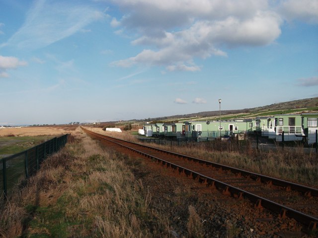
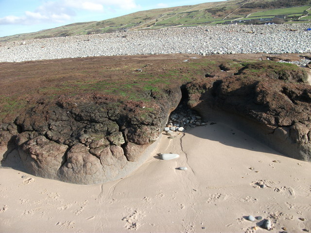
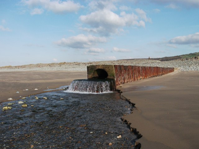
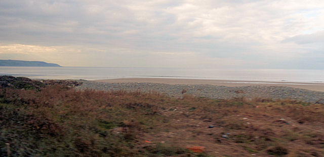
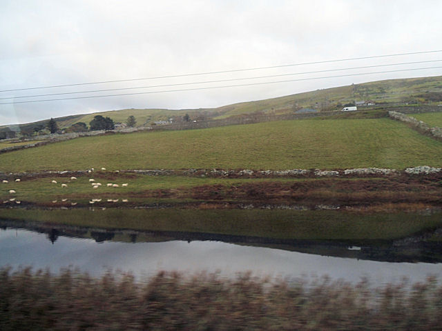
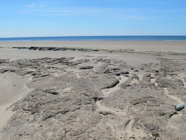
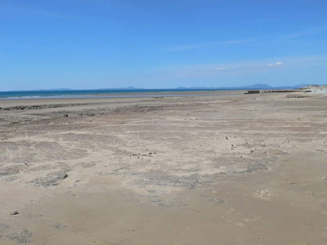
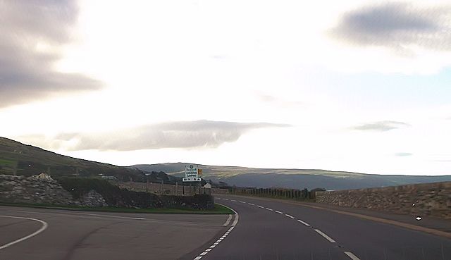
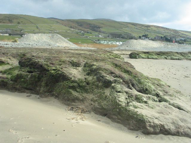
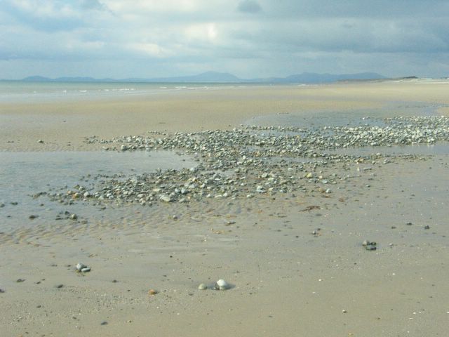
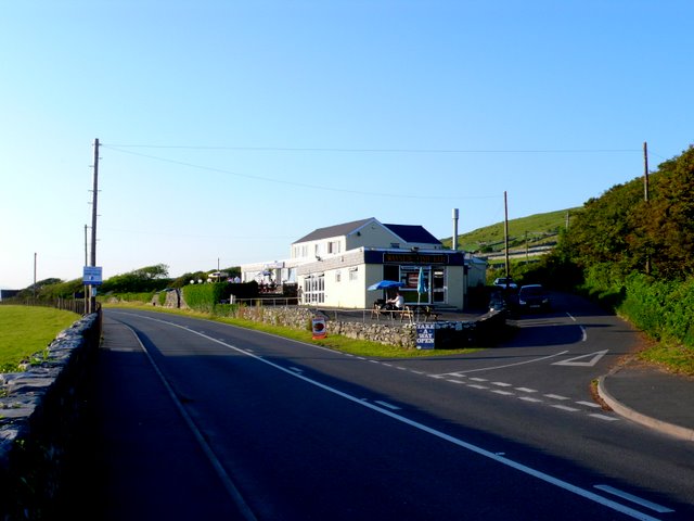
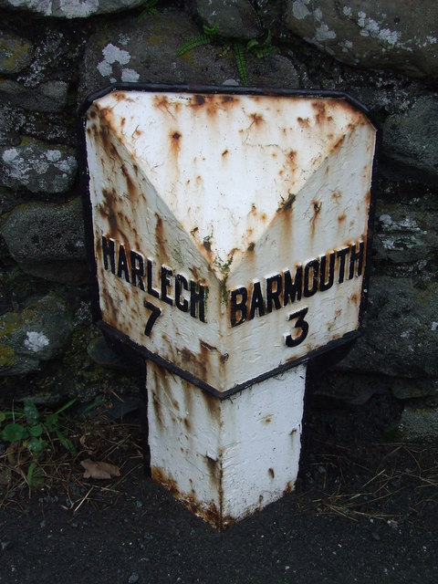
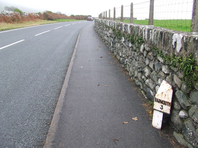
Pen y Dinas Images

Images are sourced within 2km of 52.763/-4.068 or Grid Reference SH6020. Thanks to Geograph Open Source API. All images are credited.

Caravan park beside the railway There is a beach access level crossing at this point with a park for vehicles and boat trolleys.
Caravan park beside the railway
There is a beach access level crossing at this point with a park for vehicles and boat trolleys.
Raised peat on the beach Coastal peat that has been overwhelmed by the sea and is now marooned and slowly breaking up. It must have been a fairly deep moss as the peat is very hard.
Raised peat on the beach
Coastal peat that has been overwhelmed by the sea and is now marooned and slowly breaking up. It must have been a fairly deep moss as the peat is very hard.
Drainage water outlet This drain has been piped to ensure the sea cannot break through onto the low lying ground behind the beach.
Drainage water outlet
This drain has been piped to ensure the sea cannot break through onto the low lying ground behind the beach.
Excellent sandy beach A big sandy beach is revealed at low tide. The water by the seagulls is from a fresh water drain.  <a href="https://www.geograph.org.uk/photo/2891678">SH5919 : Drainage water outlet</a>
Excellent sandy beach
A big sandy beach is revealed at low tide. The water by the seagulls is from a fresh water drain. SH5919 : Drainage water outlet
View to the beach from opposite The Wayside
Drainage canal beside the railway Just north of caravan site
Drainage canal beside the railway
Just north of caravan site
Peat on the beach There is a large area of peat on the beach just north of Llanaber and occasionally tree roots can also be seen.
Peat on the beach
There is a large area of peat on the beach just north of Llanaber and occasionally tree roots can also be seen.
The beach at Llanaber There is a large area of peat on the beach just north of Llanaber and occasionally tree roots can also be seen. This is looking northwards, with the Lleyn peninsula just visible on the horizon
The beach at Llanaber
There is a large area of peat on the beach just north of Llanaber and occasionally tree roots can also be seen. This is looking northwards, with the Lleyn peninsula just visible on the horizon
Entrance to Trawsdir caravan site
Is it rock? I first thought this was rock, but it seems to just be grass growing over sand. Walking on it is definitely squishy. Along this stretch of beach there is quite a bit of it. In the background are what I assume are artificial breakwaters to protect the caravan site, and hides marshy land.
Is it rock?
I first thought this was rock, but it seems to just be grass growing over sand. Walking on it is definitely squishy. Along this stretch of beach there is quite a bit of it. In the background are what I assume are artificial breakwaters to protect the caravan site, and hides marshy land.
Pebbly bit of beach Small section of pebbles in an otherwise wide flat sandy beach
Pebbly bit of beach
Small section of pebbles in an otherwise wide flat sandy beach
Submerged Forest Remains of submerged tree stump on Llanaber Beach. Taken with Sony K550i phonecam
Submerged Forest
Remains of submerged tree stump on Llanaber Beach. Taken with Sony K550i phonecam
Trawsdir Farm This photograph shows clearly the contrast between the coastal lowlands and the steep hill slopes leading up to the plateau.
Trawsdir Farm
This photograph shows clearly the contrast between the coastal lowlands and the steep hill slopes leading up to the plateau.
Wayside Chip Shop This chip shop called the Wayside, between Harlech and Barmouth nestles in a small loop of road that has become isolated due to road straightening.
Wayside Chip Shop
This chip shop called the Wayside, between Harlech and Barmouth nestles in a small loop of road that has become isolated due to road straightening.
Milepost An old cast iron milepost near to Tal-y-Bont, Gwynedd for overall view see <a title="https://www.geograph.org.uk/photo/2152020" href="https://www.geograph.org.uk/photo/2152020">Link</a>
Milepost
An old cast iron milepost near to Tal-y-Bont, Gwynedd for overall view see Link
Barmouth 3 An old cast iron milepost on the B4573 near to Tal-y-Bont, Gwynedd for close up view see <a title="https://www.geograph.org.uk/photo/2152015" href="https://www.geograph.org.uk/photo/2152015">Link</a>
Barmouth 3
An old cast iron milepost on the B4573 near to Tal-y-Bont, Gwynedd for close up view see Link
The coast near Llanaber Difficult to photograph this stretch of coastline and avoid including the omnipresent caravans in the view. I have to say, my family and I have enjoyed several holidays on this coast, further north near Tal-y-bont, but that was many years ago. As can be seen, the tide is well out here, providing acres of beach to be explored.
The coast near Llanaber
Difficult to photograph this stretch of coastline and avoid including the omnipresent caravans in the view. I have to say, my family and I have enjoyed several holidays on this coast, further north near Tal-y-bont, but that was many years ago. As can be seen, the tide is well out here, providing acres of beach to be explored.
'Wall to wall caravans' Actually it's not as crowded as it appears. This is a telephoto shot which has foreshortened distances. The beach in view provides the clue as to why there is such a large number of caravans here.
'Wall to wall caravans'
Actually it's not as crowded as it appears. This is a telephoto shot which has foreshortened distances. The beach in view provides the clue as to why there is such a large number of caravans here.
Show me another place!

Pen y Dinas is located at Grid Ref: SH6020 (Lat: 52.763, Lng: -4.068)

What 3 Words

///swipes.lawn.animates. Near Dyffryn Ardudwy, Gwynedd

Nearby Locations

Pen y Dinas

Related Wikis

Tal-y-bont, Dyffryn Ardudwy

Tal-y-bont (otherwise Talybont) is a village north of the town of Barmouth in north Wales. Tal-y-bont has a railway station on the Cambrian Line and has...

Talybont railway station

Talybont railway station serves the villages of Tal-y-bont and Llanddwywe in Gwynedd, Wales. The station is an unstaffed halt on the Cambrian Coast Railway...

Llanaber railway station

Llanaber railway station serves the village of Llanaber near Barmouth in Gwynedd, Wales. The station is an unstaffed halt on the Cambrian Coast Railway...

St Mary and St Bodfan Church, Llanaber

St Mary's Church or its full name St Mary and St Bodfan Church is a church located in the village of Llanaber in Wales. St Mary and Bodfan is a Grade I...

Nearby Amenities

Located within 500m of 52.763,-4.068
Egryn Quarry (disused)
Landuse: quarry
Lat/Long: 52.7647759/-4.069749
Historic: archaeological_site
Lat/Long: 52.7670802/-4.0670807
Pen y Ddinas
Ele: 230
Natural: peak
Lat/Long: 52.7672353/-4.0668035
Tumulus
Archaeological Site: tumulus
Historic: archaeological_site
Lat/Long: 52.7671046/-4.0709018
Tumulus
Archaeological Site: tumulus
Historic: archaeological_site
Lat/Long: 52.7671091/-4.0706257
Tumulus
Archaeological Site: tumulus
Historic: archaeological_site
Lat/Long: 52.767082/-4.0707768
Tumulus
Archaeological Site: tumulus
Historic: archaeological_site
Lat/Long: 52.7669996/-4.0709373
Tumulus
Archaeological Site: tumulus
Historic: archaeological_site
Lat/Long: 52.7669838/-4.0714523
The data included in this document is from www.openstreetmap.org. The data is made available under ODbL.

Have you been to Pen y Dinas?

Leave your review of Pen y Dinas below (or comments, questions and feedback).