Brough Hill
Hill, Mountain in Westmorland Eden
England
Brough Hill
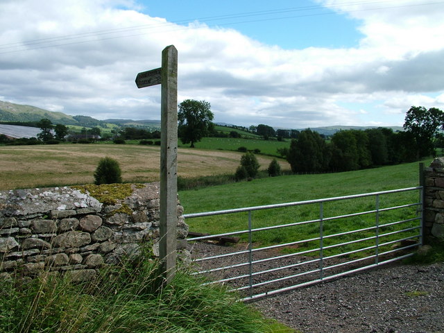
Brough Hill is a prominent hill located in the county of Westmorland, England. Standing at an elevation of approximately 207 meters (679 feet), it offers breathtaking panoramic views of the surrounding countryside.
Situated near the village of Brough, Brough Hill is a popular destination for hikers, nature enthusiasts, and history buffs alike. The hill is known for its well-preserved Iron Age hillfort, which dates back to around 400 BC. The hillfort consists of multiple defensive earthworks, including ditches and ramparts, which were used to protect the settlement in ancient times.
Aside from its historical significance, Brough Hill is also home to a diverse range of flora and fauna. The hill boasts an abundance of wildflowers, including bluebells, primroses, and orchids, which create a vibrant and colorful landscape during the spring and summer months. Visitors may also spot various bird species, such as skylarks and meadow pipits, as well as small mammals like rabbits and foxes.
Access to Brough Hill is relatively easy, with a network of footpaths and trails leading to the summit. The hill is a popular spot for picnics, family outings, and dog walking. Additionally, the nearby village of Brough offers amenities such as parking, refreshments, and toilets, making it a convenient base for exploring the area.
In conclusion, Brough Hill is a picturesque and historically significant landmark in Westmorland, England. With its stunning views, ancient hillfort, and rich biodiversity, it is a must-visit destination for nature lovers and history enthusiasts alike.
If you have any feedback on the listing, please let us know in the comments section below.
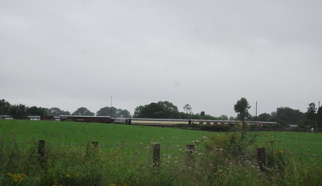
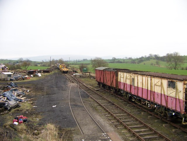
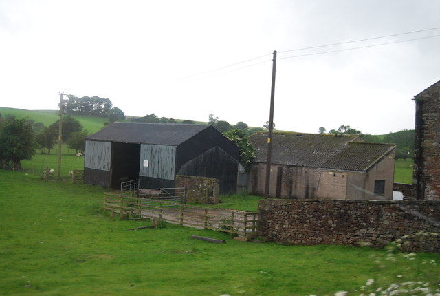
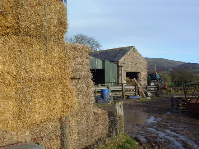
Brough Hill Images
Images are sourced within 2km of 54.535463/-2.3644704 or Grid Reference NY7615. Thanks to Geograph Open Source API. All images are credited.


Brough Hill is located at Grid Ref: NY7615 (Lat: 54.535463, Lng: -2.3644704)
Administrative County: Cumbria
District: Eden
Police Authority: Cumbria
What 3 Words
///decide.publisher.shopping. Near Kirkby Stephen, Cumbria
Nearby Locations
Related Wikis
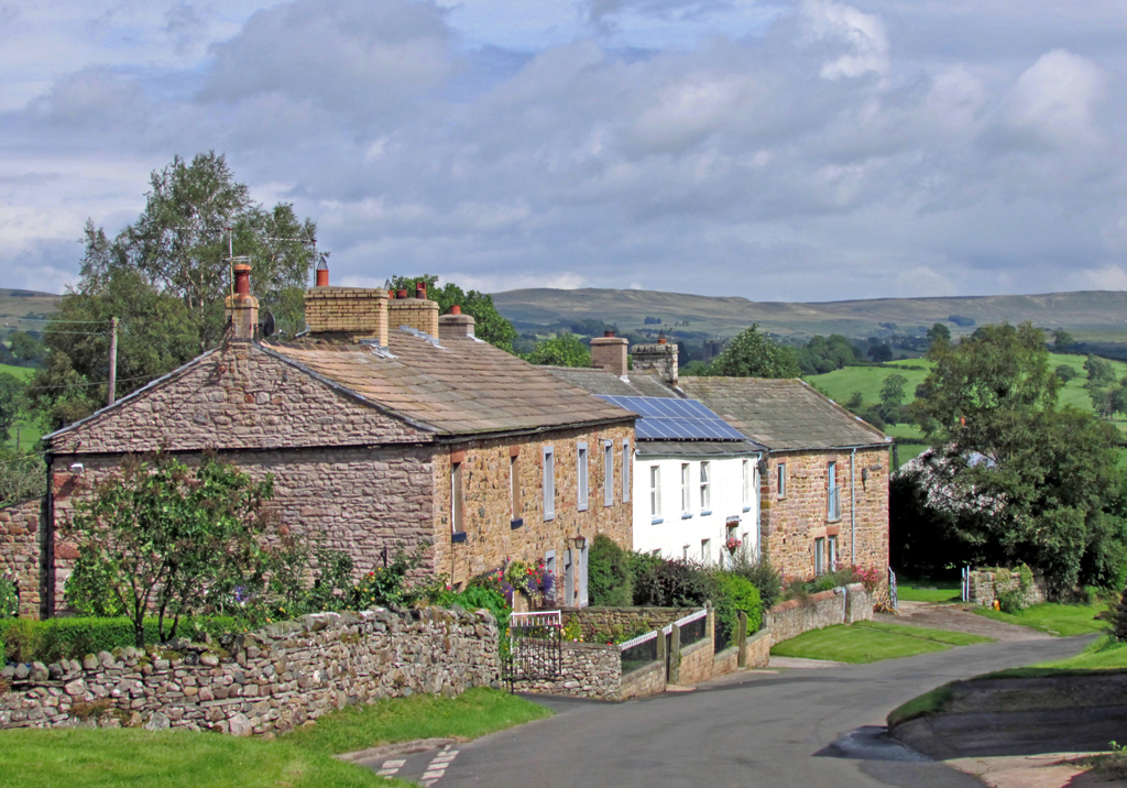
Flitholme
Flitholme is a hamlet in the parish of Musgrave, in the Eden District, in the English county of Cumbria. == Location == It is located on an unclassified...
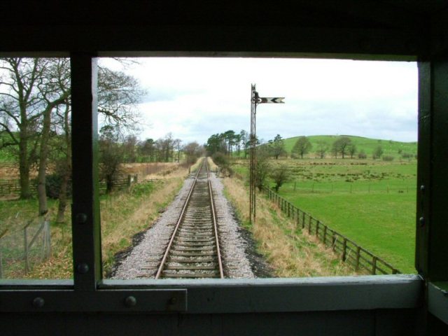
Eden Valley Railway (heritage railway)
The Eden Valley Railway (EVR) is a standard gauge heritage railway in Cumbria, England. It runs over a 2.2 miles (3.5 km) section of the original Eden...

Warcop railway station
Warcop railway station was situated on the Eden Valley Railway between Penrith and Kirkby Stephen East. It served the village of Warcop. The station opened...
Great Musgrave
Great Musgrave is a village and former civil parish, now in the parish of Musgrave, in the Eden district of Cumbria, England. It is about a mile west of...

Musgrave railway station
Musgrave railway station was a railway station situated on the Eden Valley Railway and located between Penrith and Kirkby Stephen East, England. ��2�...
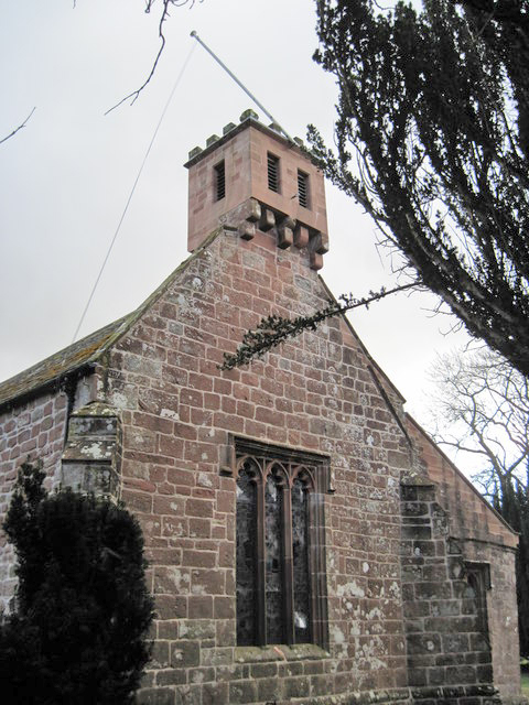
St Columba's Church, Warcop
St Columba's Church is in the village of Warcop, Cumbria, England. It is an active Anglican parish church in the deanery of Appleby, the archdeaconry...

Fox Tower, Cumbria
Fox Tower is a tower built by John Metcalf Carleton, an industrial entrepreneur, as a folly in 1775 on his large estate next to Brough, a village in Cumbria...

Musgrave, Cumbria
Musgrave is a civil parish in the Eden District of Cumbria, England. It has a population of 152, and contains the villages of Little Musgrave and Great...
Nearby Amenities
Located within 500m of 54.535463,-2.3644704Have you been to Brough Hill?
Leave your review of Brough Hill below (or comments, questions and feedback).