Badger Hill

Hill, Mountain in Yorkshire Craven

England

Badger Hill

Ford at Rathmell This overgrown ford is found on the track leading to Upper Sheep Wash which has now been bypassed by a new road.
Ford at Rathmell Credit: John Walton

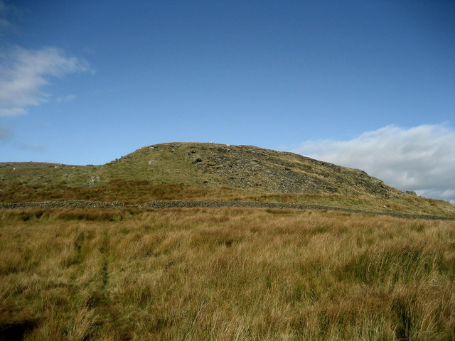
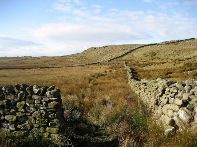
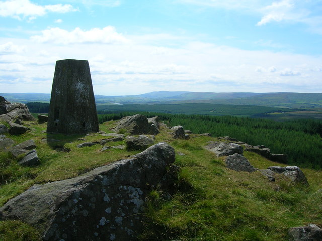
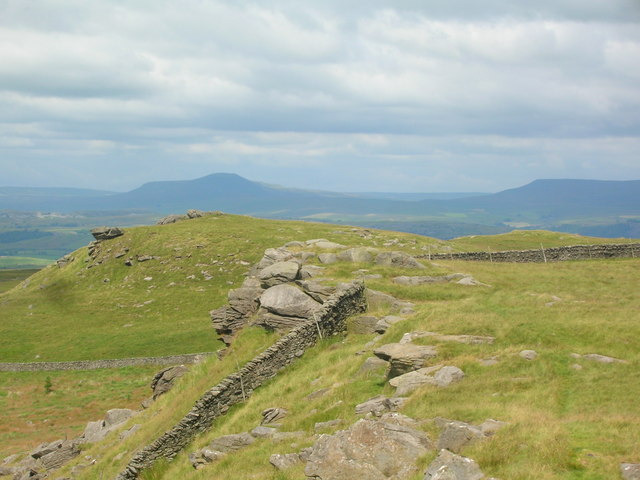
Badger Hill is a small but prominent hill located in Yorkshire, England. Situated near the city of York, it forms part of the Yorkshire Wolds, a series of low-lying hills and plateaus that stretch across the region. While not particularly high, Badger Hill offers stunning panoramic views of the surrounding countryside, making it a popular destination for hikers and nature enthusiasts.

The hill gets its name from the presence of badgers in the area, which have been known to inhabit the woodlands and fields that adorn its slopes. These elusive creatures can sometimes be spotted at dawn or dusk, adding to the allure of the hill for wildlife enthusiasts.

The landscape of Badger Hill is characterized by rolling hills covered in lush green grass, interspersed with patches of dense woodland. The hill itself is covered in a variety of vegetation, including wildflowers, ferns, and small shrubs, providing a haven for many species of birds and insects.

The ascent to the summit of Badger Hill is relatively easy, with well-defined footpaths leading visitors through the picturesque countryside. Once at the top, visitors are rewarded with breathtaking vistas of the surrounding area, including the historic city of York in the distance.

Due to its proximity to York, Badger Hill is a popular destination for locals and tourists alike. It offers a peaceful retreat from the hustle and bustle of city life, allowing visitors to reconnect with nature and enjoy the beauty of the Yorkshire countryside.

If you have any feedback on the listing, please let us know in the comments section below.
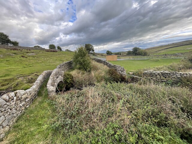
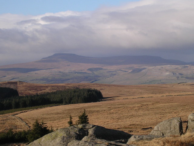
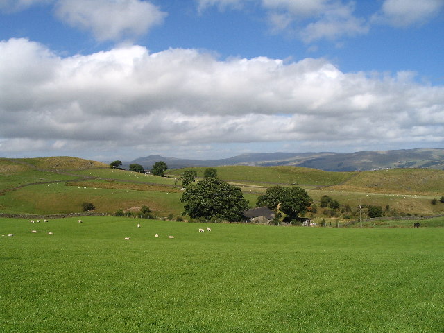
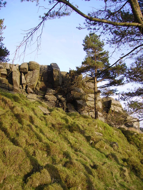
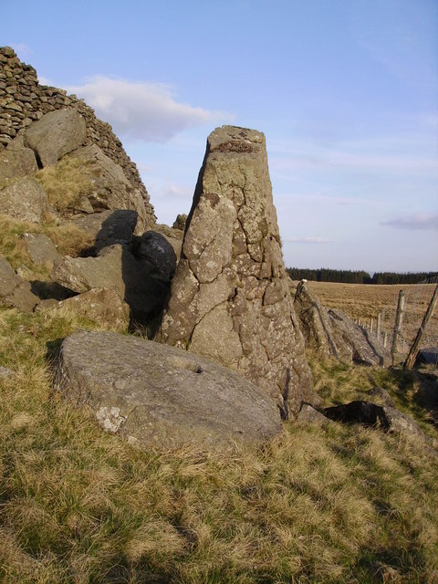
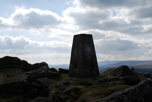
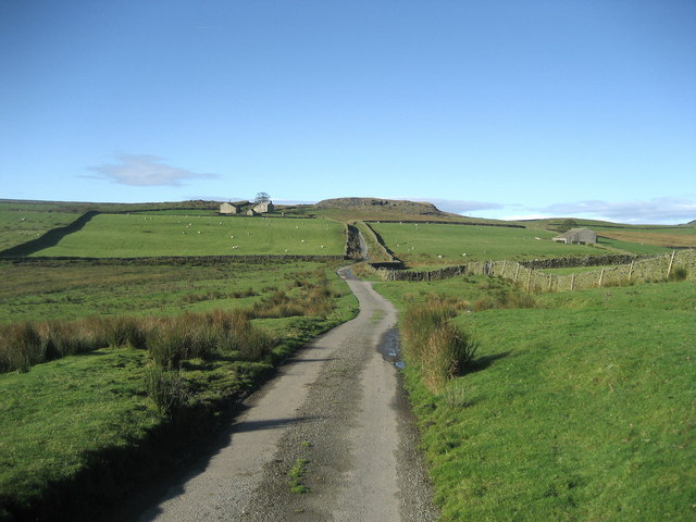
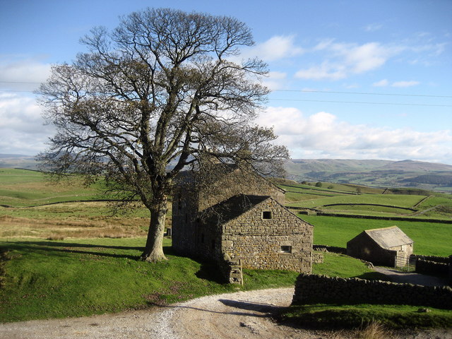
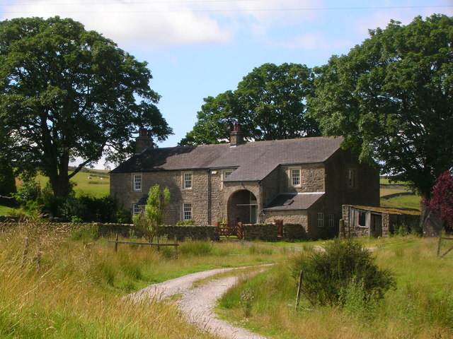
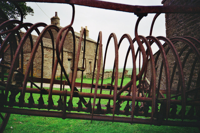
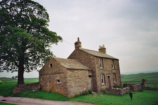
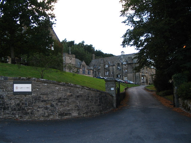
Badger Hill Images

Images are sourced within 2km of 54.042074/-2.3603204 or Grid Reference SD7660. Thanks to Geograph Open Source API. All images are credited.

Ford at Rathmell This overgrown ford is found on the track leading to Upper Sheep Wash which has now been bypassed by a new road.
Ford at Rathmell
This overgrown ford is found on the track leading to Upper Sheep Wash which has now been bypassed by a new road.
View of Ingleborough from Whelp Stone Crag From the Millstone Grit south of the Craven fault to the  Carboniferous Limestone to the north. Fell Beck can just be made out terminating in Gaping Gill.
View of Ingleborough from Whelp Stone Crag
From the Millstone Grit south of the Craven fault to the Carboniferous Limestone to the north. Fell Beck can just be made out terminating in Gaping Gill.
Ragged Hall, near Rathmell Long distance views up Ribblesdale can be had from here.
Ragged Hall, near Rathmell
Long distance views up Ribblesdale can be had from here.
Whelp Stone Crag The Crags are a welcome surprise after you have struggled through thick plantations of Gisburn Forest
Whelp Stone Crag
The Crags are a welcome surprise after you have struggled through thick plantations of Gisburn Forest
Millstone Whelp Stone Crag Not the first abandoned millstone I have encountered in Bowland. Looks like it fell off the natural Trig Point shaped rock behind it. Perhaps it's a message saying 'Finding vacant squares to photo is becoming a bit of a millstone....'
Millstone Whelp Stone Crag
Not the first abandoned millstone I have encountered in Bowland. Looks like it fell off the natural Trig Point shaped rock behind it. Perhaps it's a message saying 'Finding vacant squares to photo is becoming a bit of a millstone....'
Trig point From Giggleswick to Bowland forest edge and Whelpstone crags.
Trig point
From Giggleswick to Bowland forest edge and Whelpstone crags.
Hensley Hill View northwards from the field by the lane that leads from Whelpstone Lodge to Rathmell
Hensley Hill
View northwards from the field by the lane that leads from Whelpstone Lodge to Rathmell
Lane to Whelpstone Lodge Lonely narrow lane leading to isolated, and I believe, deserted Whelpstone Lodge from Rathmwll.
Lane to Whelpstone Lodge
Lonely narrow lane leading to isolated, and I believe, deserted Whelpstone Lodge from Rathmwll.
Whelpstone Lodge At the end of a long lane from Rathmell, these buildings look deserted when I passed through here.
Whelpstone Lodge
At the end of a long lane from Rathmell, these buildings look deserted when I passed through here.
Part of Whelp Stone Crag Rocky outcrop near the eastern edge of Gisburn Forest.
Part of Whelp Stone Crag
Rocky outcrop near the eastern edge of Gisburn Forest.
Whelp Stone Crag Following a footpath along the southern base of Whelp Stone Crag towards Gisburn Forest.
Whelp Stone Crag
Following a footpath along the southern base of Whelp Stone Crag towards Gisburn Forest.
View over Holden Moor Stretch of moorland close to the eastern edge of Gisburn Forest.
View over Holden Moor
Stretch of moorland close to the eastern edge of Gisburn Forest.
Eastern Edge of Gisburn Forest Part of the eastern edge of Gisburn Forest - it is very large by English standards.  This looks north beside Holden Moor to the small summit of Whelp Stone Crag.
Eastern Edge of Gisburn Forest
Part of the eastern edge of Gisburn Forest - it is very large by English standards. This looks north beside Holden Moor to the small summit of Whelp Stone Crag.
Trig Point on Whelp Stone Crag (1217')
Rocks on Whelp Stone Crag Penygent on the horizon.
Rocks on Whelp Stone Crag
Penygent on the horizon.
Ragged Hall
Ragged Hall
Whelpstone Lodge at the sharp end The farm house of Whelpstone Lodge seen through the fang rake of an old farm machine.
Whelpstone Lodge at the sharp end
The farm house of Whelpstone Lodge seen through the fang rake of an old farm machine.
Whelpstone Lodge The old farm house of Whelpstone Lodge. The track in the foreground leads to Owlshaw farm which is the white building in the distance to the left of the tree trunk. The farm track in the picture is officially in Yorkshire but on its short journey to Owlshaw briefly enters back into Lancashire officially. The county boundary being marked by a dry stone wall which the track passes through then after a short distance enters back into Yorkshire through the same wall line. There are no border guards or customs bureaucrats to hassle the free thinking, free roaming poets of the free wild fells. The border line here is part of the 'new'1974 boundary between the Red Rose county of Lancashire and the White Rose of Yorkshire, these being the dictates of control bureaucracies. The old boundary bit deep into the 'Red Rose' making Lancashire geographically resemble a wasps body! The extremity of the 'White Rose' bite was on the high fells of Bowland over looking the Irish sea which was just 9 miles west along SD51 grid line to the coast at Morecambe Bay. This old county boundary area was near 'Greave Clough Head' and 'White Moss' at 1520ft (464M) both being in SD5750. The western extremity of this former boundary is marked on the map as a mound at SD574509 just south of 'Johnny Pye's Clough Top'. Johnny Pye's Clough Top is in SD5751 which also lies on the old county boundary line marked by another mound a short distance towards the north east. A little further on still (NE) the trig point of 'Hawthornthwaite Fell Top' 1567ft (476M) SD579515 was on the former Lancashire/Yorkshire border. Many of us free spirits do not recognise these 'new' 1974 border lines and still refer to villages and places as being in the Red Rose or White rose counties of former times pre 74, even if it does make old Lancashire take the form of a wasps body. Also don't forget we Lancastrians had the south peninsulas of the Lake District dipping into the north of Morecambe Bay. But Yorkshire men and women are wary of us Lancashire folk because they know we have a damned good sting !
Whelpstone Lodge
The old farm house of Whelpstone Lodge. The track in the foreground leads to Owlshaw farm which is the white building in the distance to the left of the tree trunk. The farm track in the picture is officially in Yorkshire but on its short journey to Owlshaw briefly enters back into Lancashire officially. The county boundary being marked by a dry stone wall which the track passes through then after a short distance enters back into Yorkshire through the same wall line. There are no border guards or customs bureaucrats to hassle the free thinking, free roaming poets of the free wild fells. The border line here is part of the 'new'1974 boundary between the Red Rose county of Lancashire and the White Rose of Yorkshire, these being the dictates of control bureaucracies. The old boundary bit deep into the 'Red Rose' making Lancashire geographically resemble a wasps body! The extremity of the 'White Rose' bite was on the high fells of Bowland over looking the Irish sea which was just 9 miles west along SD51 grid line to the coast at Morecambe Bay. This old county boundary area was near 'Greave Clough Head' and 'White Moss' at 1520ft (464M) both being in SD5750. The western extremity of this former boundary is marked on the map as a mound at SD574509 just south of 'Johnny Pye's Clough Top'. Johnny Pye's Clough Top is in SD5751 which also lies on the old county boundary line marked by another mound a short distance towards the north east. A little further on still (NE) the trig point of 'Hawthornthwaite Fell Top' 1567ft (476M) SD579515 was on the former Lancashire/Yorkshire border. Many of us free spirits do not recognise these 'new' 1974 border lines and still refer to villages and places as being in the Red Rose or White rose counties of former times pre 74, even if it does make old Lancashire take the form of a wasps body. Also don't forget we Lancastrians had the south peninsulas of the Lake District dipping into the north of Morecambe Bay. But Yorkshire men and women are wary of us Lancashire folk because they know we have a damned good sting !
Show me another place!

Badger Hill is located at Grid Ref: SD7660 (Lat: 54.042074, Lng: -2.3603204)

Division: West Riding

Administrative County: North Yorkshire

District: Craven

Police Authority: North Yorkshire

What 3 Words

///norms.carpeted.example. Near Settle, North Yorkshire

Nearby Locations

Gisburn Common Badger Hill

Related Wikis

Nearby Amenities

Located within 500m of 54.042074,-2.3603204
The data included in this document is from www.openstreetmap.org. The data is made available under ODbL.

Have you been to Badger Hill?

Leave your review of Badger Hill below (or comments, questions and feedback).