Sand Holes Hill

Hill, Mountain in Yorkshire Craven

England

Sand Holes Hill

Green Lane The bottom end of the lane, where there is a barn. The lane is green, and also wet.
Green Lane Credit: Humphrey Bolton

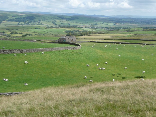
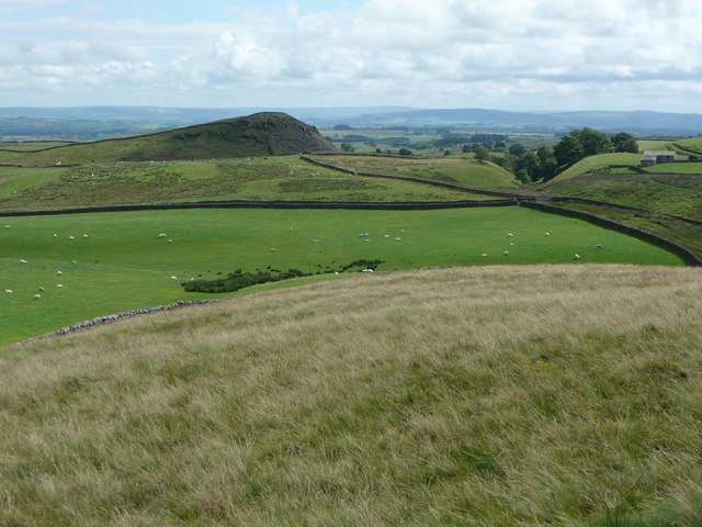
Sand Holes Hill is a prominent hill located in the North York Moors National Park in Yorkshire, England. Standing at an elevation of 333 meters (1,093 feet), it offers stunning panoramic views of the surrounding countryside and coastline.

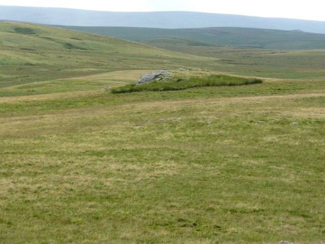
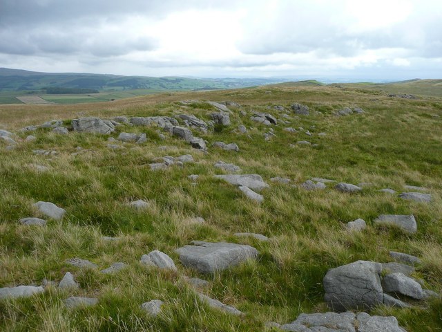
The hill is characterized by its sandy soil, which has been shaped by centuries of erosion and weathering. This unique geological feature gives the hill its name and adds to its distinctive appearance.

Sand Holes Hill is a popular destination for hikers and outdoor enthusiasts, with several walking trails leading to the summit. The ascent is moderate in difficulty, making it accessible to a wide range of visitors.

At the top of the hill, visitors can enjoy breathtaking views of the North York Moors, the Yorkshire coastline, and the nearby villages. On a clear day, it is possible to see as far as the North Sea.

Overall, Sand Holes Hill is a must-visit destination for those looking to experience the natural beauty and tranquility of the Yorkshire countryside. Its unique geology, stunning views, and accessibility make it a favorite among locals and tourists alike.

If you have any feedback on the listing, please let us know in the comments section below.

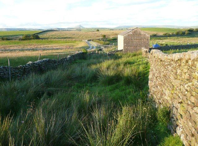
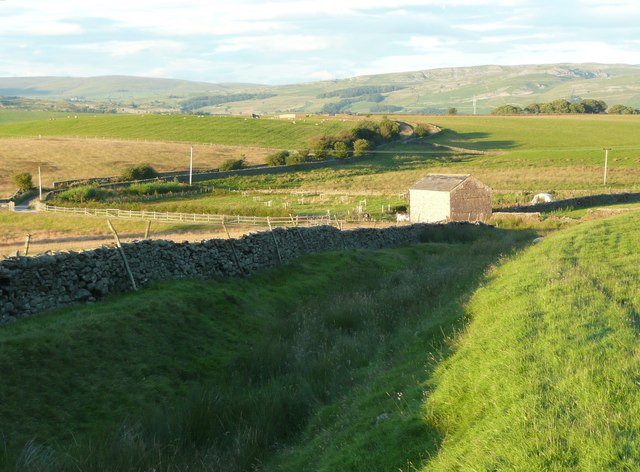
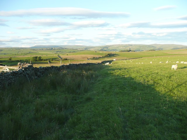
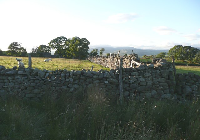
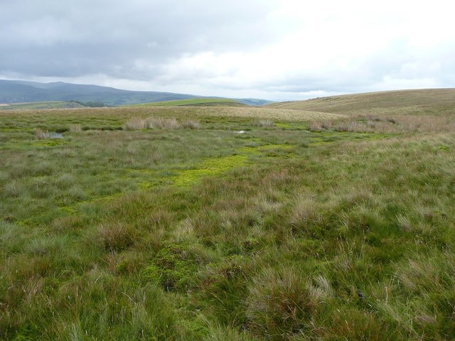
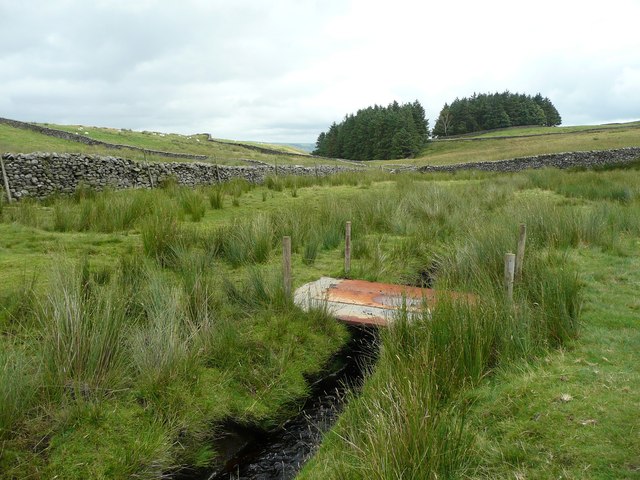
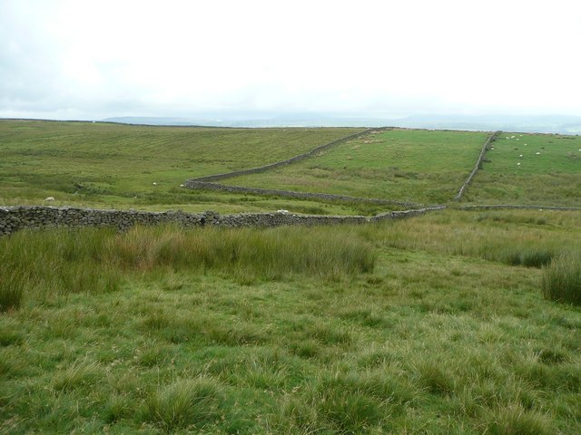
Sand Holes Hill Images

Images are sourced within 2km of 54.053743/-2.3711597 or Grid Reference SD7562. Thanks to Geograph Open Source API. All images are credited.

Green Lane The bottom end of the lane, where there is a barn. The lane is green, and also wet.
Green Lane
The bottom end of the lane, where there is a barn. The lane is green, and also wet.
Green Lane Named and shown as a walled lane on the 1850 OS map. Fortunately one can now walk along the rim on dry grass.
Green Lane
Named and shown as a walled lane on the 1850 OS map. Fortunately one can now walk along the rim on dry grass.
Higher Wham, Giggleswick
Brown House Barn from Green Lane
Green Lane Formerly an enclosed track, now evidently little-used, to judge by the obstruction at the top of this field where three gates are tied together and have to be climbed – not easy with a horse!
Green Lane
Formerly an enclosed track, now evidently little-used, to judge by the obstruction at the top of this field where three gates are tied together and have to be climbed – not easy with a horse!
Blocked footpath off Green Lane The OS map shows a public footpath from Green lane, from which this photograph was taken, to Routster, going along the left side of the sunlit wall.
Blocked footpath off Green Lane
The OS map shows a public footpath from Green lane, from which this photograph was taken, to Routster, going along the left side of the sunlit wall.
Pond in pasture Probably a fish pond, seen quite often nowadays on farmland.
Pond in pasture
Probably a fish pond, seen quite often nowadays on farmland.
Rathmell Common Looking towards a hill that is unfortunately not accessible, being in the fields, not on the moorland.
Rathmell Common
Looking towards a hill that is unfortunately not accessible, being in the fields, not on the moorland.
Stile on path across Rathmell Common The right-of-way across the common is invisible until this stile onto farmland is reached.
Stile on path across Rathmell Common
The right-of-way across the common is invisible until this stile onto farmland is reached.
The summit of Cross Hills, 312m  This hill looks insignificant on the map, but is a good viewpoint. There is a little rock formation just asking to have a cairn built on it.
The summit of Cross Hills, 312m
This hill looks insignificant on the map, but is a good viewpoint. There is a little rock formation just asking to have a cairn built on it.
View from the eastern end of Cross Hills, looking east-north-east The farm is Higher Winterscale Bank.
View from the eastern end of Cross Hills, looking east-north-east
The farm is Higher Winterscale Bank.
View from the eastern end of Cross Hills, looking north-east This shows how the moorland, at an altitude of 300m, can be drained and turned into pasture.
View from the eastern end of Cross Hills, looking north-east
This shows how the moorland, at an altitude of 300m, can be drained and turned into pasture.
View from the eastern end of Cross Hills, looking south-east The dramatic peak of Scoutber Crag is farmland with no public access.
View from the eastern end of Cross Hills, looking south-east
The dramatic peak of Scoutber Crag is farmland with no public access.
Foxholes Crag As seen, with zoom, from Big Hill.
Foxholes Crag
As seen, with zoom, from Big Hill.
Summit of Big Hill A scatter of rocks, one of which is the summit, 317m.
Summit of Big Hill
A scatter of rocks, one of which is the summit, 317m.
Shallow valley at the foot of Big Hill So shallow that it does not show up in the contours on the OS map, but very wet all the same. If you want to keep your feet dry, wear willies, otherwise I would suggest pumps without socks in warm weather.
Shallow valley at the foot of Big Hill
So shallow that it does not show up in the contours on the OS map, but very wet all the same. If you want to keep your feet dry, wear willies, otherwise I would suggest pumps without socks in warm weather.
Footbridge over Sandford Beck Made from steel plates.
Footbridge over Sandford Beck
Made from steel plates.
Approaching Sandford Beck from Big Hill The foreground and the area to the left are access land, but the fields straight ahead are not. There isn’t a stile in the wall on the left, but there is a place where stones stick out a little on both sides so that the wall can be climbed.
Approaching Sandford Beck from Big Hill
The foreground and the area to the left are access land, but the fields straight ahead are not. There isn’t a stile in the wall on the left, but there is a place where stones stick out a little on both sides so that the wall can be climbed.
Show me another place!

Sand Holes Hill is located at Grid Ref: SD7562 (Lat: 54.053743, Lng: -2.3711597)

Division: West Riding

Administrative County: North Yorkshire

District: Craven

Police Authority: North Yorkshire

What 3 Words

///ideals.lollipop.muscular. Near Settle, North Yorkshire

Related Wikis

Eldroth

Eldroth is a village in North Yorkshire, England. It is in the civil parish of Lawkland, part of the former Craven District, some 3.25 miles (5.23 km)...

Lawkland

Lawkland is a civil parish in North Yorkshire, England, near the A65 and 4 miles (6.4 km) west of Settle. It lies within the Forest of Bowland Area of...

Giggleswick railway station

Giggleswick is a railway station on the Bentham Line, which runs between Leeds and Morecambe via Skipton. The station, situated 41+1⁄4 miles (66 km) north...

Rathmell

Rathmell is a village and civil parish in the Craven district of North Yorkshire, England. The population of the civil parish in the 2011 census was 305...

Have you been to Sand Holes Hill?

Leave your review of Sand Holes Hill below (or comments, questions and feedback).