Over Whitton Hill

Hill, Mountain in Roxburghshire

Scotland

Over Whitton Hill

Kale Water and tree From Heavyside Bridge, downstream.
Kale Water and tree Credit: Richard Webb

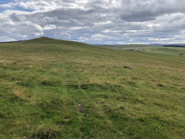
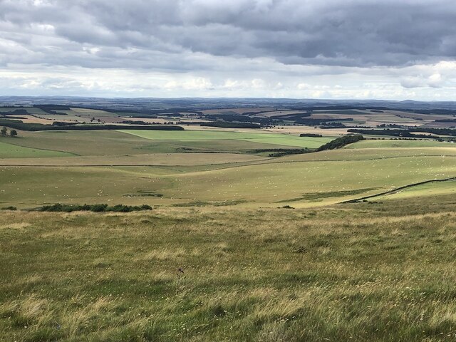
Over Whitton Hill is a prominent hill located in the region of Roxburghshire, Scotland. Standing at an elevation of approximately 305 meters (1,000 feet), it offers a stunning panoramic view of the surrounding countryside and is a popular destination for hikers, nature enthusiasts, and photographers.

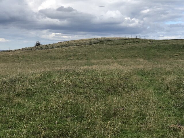
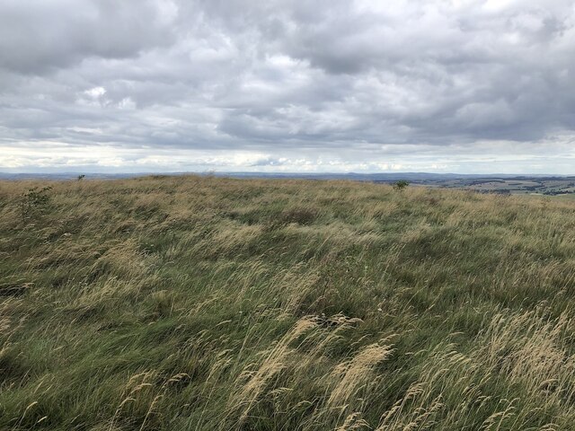
The hill is part of the Southern Uplands, a range of hills and mountains that stretch across southern Scotland. Over Whitton Hill is known for its distinctive shape, with a gentle slope on one side and a steeper, rocky face on the other. The summit is relatively flat and is covered in heather and grasses, providing a habitat for various species of wildlife.

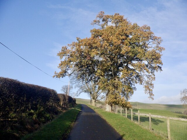
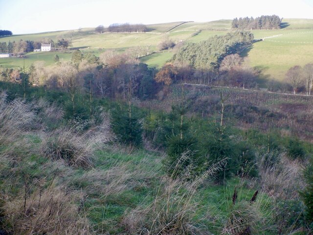
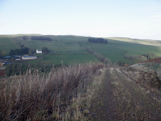
The hill can be accessed via several paths and trails, offering different levels of difficulty for walkers and climbers. The ascent to the top is not overly challenging, making it suitable for people of various fitness levels. On a clear day, the summit provides breathtaking views of the surrounding countryside, including the Cheviot Hills to the south and the Eildon Hills to the north.

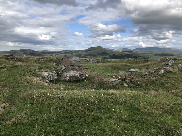
Over Whitton Hill is also rich in historical significance. It is believed to have been used as a defensive site during ancient times, with evidence of old fortifications and earthworks still visible. The hill is also home to a number of archaeological sites, including burial mounds and standing stones, which add to its cultural and historical value.

Overall, Over Whitton Hill is a picturesque and historically significant hill in Roxburghshire, offering visitors a chance to immerse themselves in the natural beauty and rich heritage of the Scottish countryside.

If you have any feedback on the listing, please let us know in the comments section below.

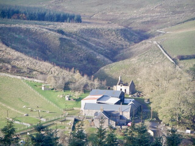
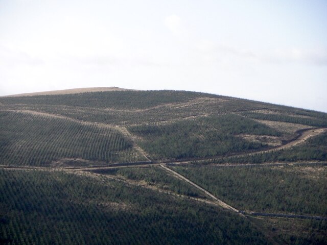
Over Whitton Hill Images

Images are sourced within 2km of 55.47625/-2.3840711 or Grid Reference NT7520. Thanks to Geograph Open Source API. All images are credited.

Kale Water and tree From Heavyside Bridge, downstream.
Kale Water and tree
From Heavyside Bridge, downstream.
Kale Water Downstream from Heavyside Bridge
Kale Water
Downstream from Heavyside Bridge
Over Whitton Hill Grazed by cattle
Over Whitton Hill
Grazed by cattle
View from Over Whitton Hill
Heatherland Hill The summit is now in a fenced enclosure with young trees.
Heatherland Hill
The summit is now in a fenced enclosure with young trees.
Rocks on Heatherland Hill A rocky area just below the summit which is the other side of a deer fence.
Rocks on Heatherland Hill
A rocky area just below the summit which is the other side of a deer fence.
Summit, Heatherland Hill The summit, planted with trees. Taken through a high deer and rabbit fence.
Summit, Heatherland Hill
The summit, planted with trees. Taken through a high deer and rabbit fence.
Kale Water from Heavyside Bridge A view downstream from Heavyside Bridge.  Hownam Law - right of centre in the distance - looks somewhat belittled from this vantage point.
Kale Water from Heavyside Bridge
A view downstream from Heavyside Bridge. Hownam Law - right of centre in the distance - looks somewhat belittled from this vantage point.
Road to Oxnam From Hownam, view off the Steeple.
Road to Oxnam
From Hownam, view off the Steeple.
Oak, Hownam to Oxton Road The long climb out of Hownam.
Oak, Hownam to Oxton Road
The long climb out of Hownam.
View of Hownam Law Across the Kale Water. Hownam Law carries one of the many hill forts in the area.
View of Hownam Law
Across the Kale Water. Hownam Law carries one of the many hill forts in the area.
Young trees, Thowliestane Hill Part of a large new forestry plantation.
Young trees, Thowliestane Hill
Part of a large new forestry plantation.
Forest road, Thowliestane Hill Quite a lengthy new road from c. 2015 it almost reaches Dere Street.
Forest road, Thowliestane Hill
Quite a lengthy new road from c. 2015 it almost reaches Dere Street.
Beirhope
Beirhope
Over Whitton
Over Whitton
Path, Thowliestane Hill An older track linking up with the new forest road. Makes a visit to the hill fort very easy and it's a worthwhile short walk.
Path, Thowliestane Hill
An older track linking up with the new forest road. Makes a visit to the hill fort very easy and it's a worthwhile short walk.
Hare Law The new forestry on Hare Law. Previously there were some smaller plantations and upland pasture.
Hare Law
The new forestry on Hare Law. Previously there were some smaller plantations and upland pasture.
The ramparts, Thowliestane Hill A fine hill fort. The grass is long as it has not been grazed since the trees were planted on the lower slopes. It was very windy.

Thanks to the new forestry road this hilltop is very accessible and an easy walk.
The ramparts, Thowliestane Hill
A fine hill fort. The grass is long as it has not been grazed since the trees were planted on the lower slopes. It was very windy. Thanks to the new forestry road this hilltop is very accessible and an easy walk.
Show me another place!

Over Whitton Hill is located at Grid Ref: NT7520 (Lat: 55.47625, Lng: -2.3840711)

Unitary Authority: The Scottish Borders

Police Authority: The Lothians and Scottish Borders

What 3 Words

///cardinal.twinkled.formation. Near Jedburgh, Scottish Borders

Related Wikis

Hownam

Hownam or Hounam is a small village and parish situated 8 miles east of Jedburgh in the Scottish Borders area of Scotland, near the Anglo-Scottish border...

Cessford, Scottish Borders

Cessford is a hamlet and former barony about a mile south of the B6401 road, in the Scottish Borders area of Scotland. The placename is from Gaelic 'ceis...

Cessford Castle

Cessford Castle is a large ruined mid-15th century L-plan castle near the village of Cessford, midway Jedburgh and Kelso, in the historic county of Roxburghshire...

Morebattle

Morebattle is a village in the Scottish Borders area of Scotland, on the B6401, seven miles south of Kelso, Scottish Borders, beside the Kale Water, a...

Nearby Amenities

Located within 500m of 55.47625,-2.3840711
Over Whitton Hill
Natural: peak
Lat/Long: 55.4760868/-2.3839638
The data included in this document is from www.openstreetmap.org. The data is made available under ODbL.

Have you been to Over Whitton Hill?

Leave your review of Over Whitton Hill below (or comments, questions and feedback).