Leva Green

Hill, Mountain in Yorkshire Craven

England

Leva Green

Eldroth, Garnet Brow According to the OS benchmark database there is a gatepost in this location with a cutmark on a face. 5 metres from the entrance there is a fallen gatepost. 3 sides of the post were checked but no benchmark was found.
Eldroth, Garnet Brow Credit: Mel Towler

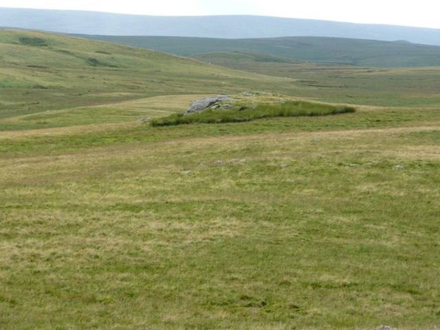
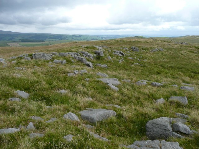
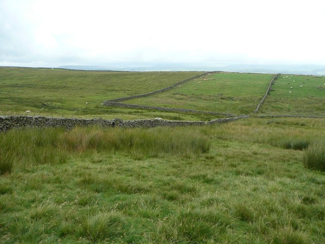
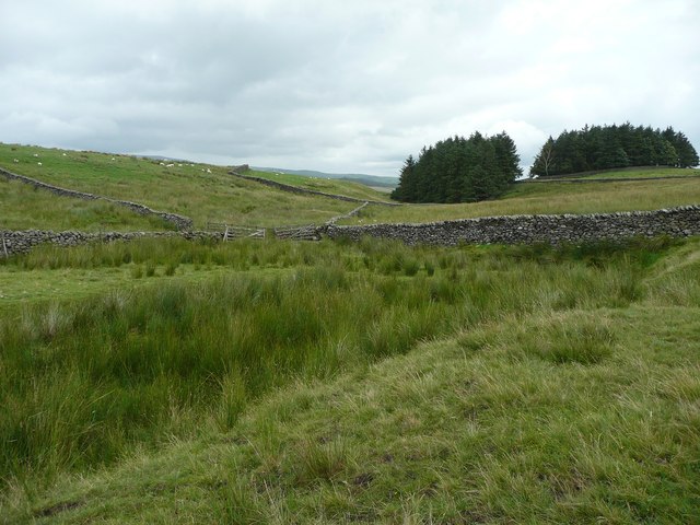
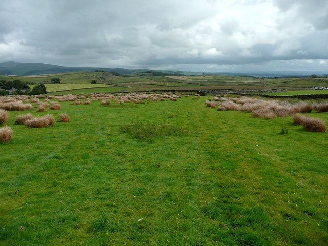
Leva Green is a picturesque hill located in the Yorkshire Dales National Park, in the county of Yorkshire, England. Standing at an elevation of 450 meters (1,476 feet), it is renowned for its breathtaking views and natural beauty. Leva Green is a popular destination for hikers, nature enthusiasts, and photographers.

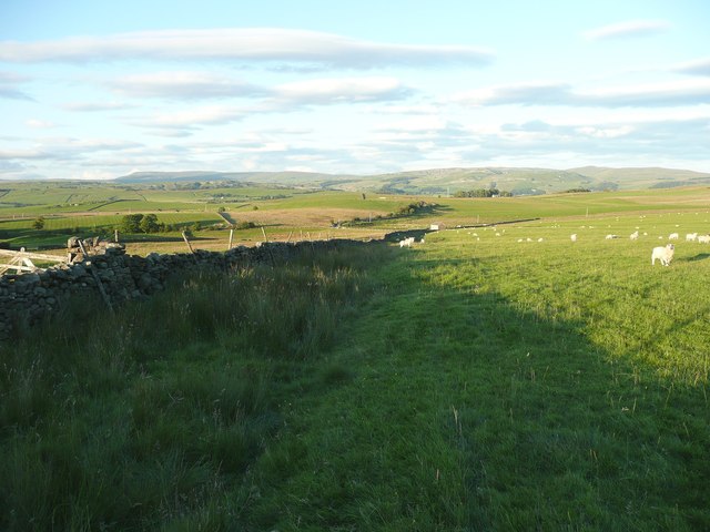
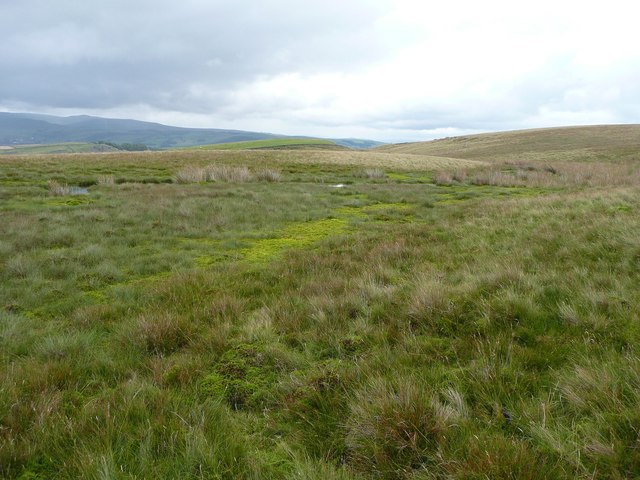
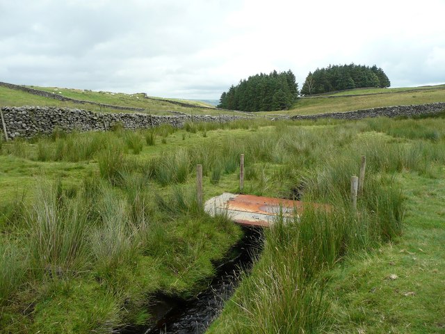
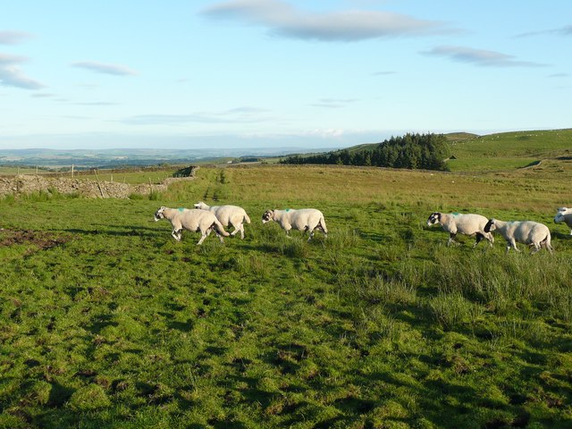
The hill is characterized by its lush green slopes and rolling meadows, which are dotted with wildflowers during the spring and summer months. It is also home to a variety of wildlife, including birds, rabbits, and occasional sightings of deer.

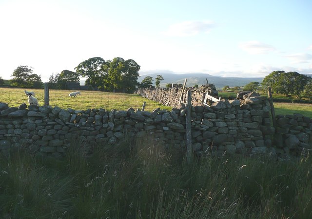
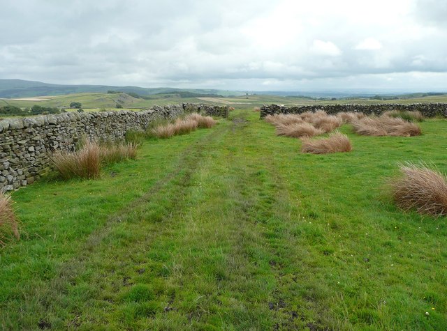
The ascent to the summit of Leva Green is relatively moderate, making it accessible to individuals of various fitness levels. Once at the top, visitors are rewarded with panoramic vistas of the surrounding countryside. On a clear day, it is possible to see the expansive Yorkshire Dales, with its patchwork of fields, stone walls, and charming villages.

Leva Green offers a tranquil and serene environment for those seeking a peaceful retreat or a break from the hustle and bustle of city life. It is a perfect spot for picnics, where visitors can relax and enjoy the stunning views.

In conclusion, Leva Green is a stunning hill in Yorkshire, offering visitors the chance to immerse themselves in the beauty of nature and enjoy the peace and tranquility of the Yorkshire Dales.

If you have any feedback on the listing, please let us know in the comments section below.
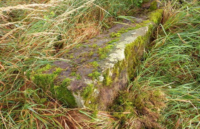
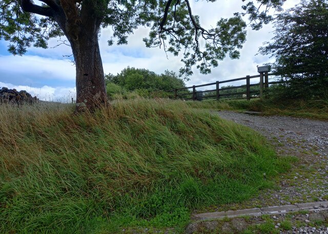
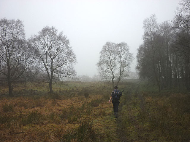
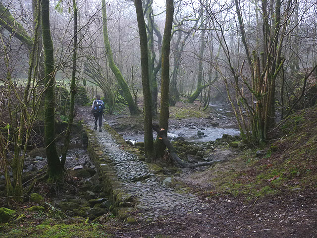
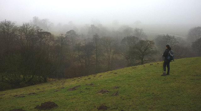
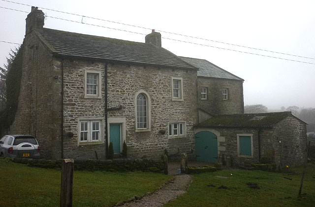
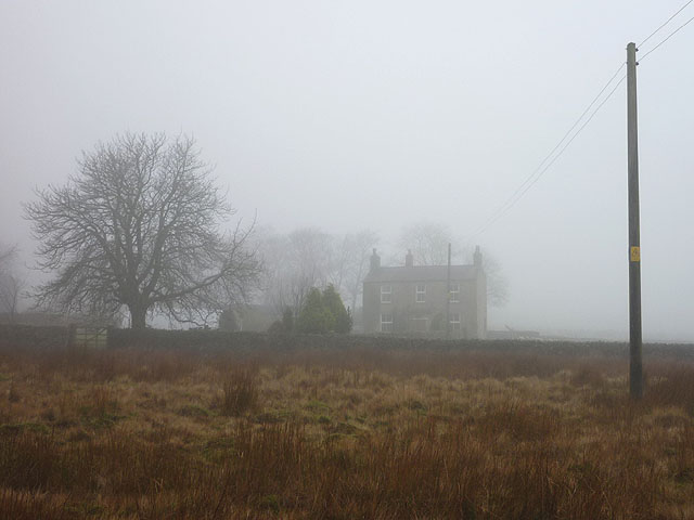
Leva Green Images

Images are sourced within 2km of 54.057871/-2.3817832 or Grid Reference SD7562. Thanks to Geograph Open Source API. All images are credited.

Eldroth, Garnet Brow According to the OS benchmark database there is a gatepost in this location with a cutmark on a face. 5 metres from the entrance there is a fallen gatepost. 3 sides of the post were checked but no benchmark was found.
Eldroth, Garnet Brow
According to the OS benchmark database there is a gatepost in this location with a cutmark on a face. 5 metres from the entrance there is a fallen gatepost. 3 sides of the post were checked but no benchmark was found.
Eldroth, Garnet Brow According to the OS benchmark database there is a gatepost on the right of this entrance with a cutmark on a face. 5 metres from the entrance, to the left of the tree, there is a fallen gatepost. 3 sides of the post were checked but no benchmark was found.
Eldroth, Garnet Brow
According to the OS benchmark database there is a gatepost on the right of this entrance with a cutmark on a face. 5 metres from the entrance, to the left of the tree, there is a fallen gatepost. 3 sides of the post were checked but no benchmark was found.
Green Lane Formerly an enclosed track, now evidently little-used, to judge by the obstruction at the top of this field where three gates are tied together and have to be climbed – not easy with a horse!
Green Lane
Formerly an enclosed track, now evidently little-used, to judge by the obstruction at the top of this field where three gates are tied together and have to be climbed – not easy with a horse!
Blocked footpath off Green Lane The OS map shows a public footpath from Green lane, from which this photograph was taken, to Routster, going along the left side of the sunlit wall.
Blocked footpath off Green Lane
The OS map shows a public footpath from Green lane, from which this photograph was taken, to Routster, going along the left side of the sunlit wall.
Foxholes Crag As seen, with zoom, from Big Hill.
Foxholes Crag
As seen, with zoom, from Big Hill.
Summit of Big Hill A scatter of rocks, one of which is the summit, 317m.
Summit of Big Hill
A scatter of rocks, one of which is the summit, 317m.
Shallow valley at the foot of Big Hill So shallow that it does not show up in the contours on the OS map, but very wet all the same. If you want to keep your feet dry, wear willies, otherwise I would suggest pumps without socks in warm weather.
Shallow valley at the foot of Big Hill
So shallow that it does not show up in the contours on the OS map, but very wet all the same. If you want to keep your feet dry, wear willies, otherwise I would suggest pumps without socks in warm weather.
Footbridge over Sandford Beck Made from steel plates.
Footbridge over Sandford Beck
Made from steel plates.
Approaching Sandford Beck from Big Hill The foreground and the area to the left are access land, but the fields straight ahead are not. There isn’t a stile in the wall on the left, but there is a place where stones stick out a little on both sides so that the wall can be climbed.
Approaching Sandford Beck from Big Hill
The foreground and the area to the left are access land, but the fields straight ahead are not. There isn’t a stile in the wall on the left, but there is a place where stones stick out a little on both sides so that the wall can be climbed.
The valley of Sandford Beck A typical broad expanse of rushes, amongst which the beck runs. Fortunately there is a footbridge a little way upstream: <a href="https://www.geograph.org.uk/photo/3080942">SD7662 : Footbridge over Sandford Beck</a>.
The valley of Sandford Beck
A typical broad expanse of rushes, amongst which the beck runs. Fortunately there is a footbridge a little way upstream: SD7662 : Footbridge over Sandford Beck.
Track across field This starts off as an enclosed lane at Sandford Farm
Track across field
This starts off as an enclosed lane at Sandford Farm
Track across field This starts off as an enclosed lane at Sandford Farm.
Track across field
This starts off as an enclosed lane at Sandford Farm.
Track across field This starts off as an enclosed lane at Sandford Farm. The rushes in this field are remarkably persistent.
Track across field
This starts off as an enclosed lane at Sandford Farm. The rushes in this field are remarkably persistent.
Footpath by Silver Hills Plantation Soft and damp going on a misty day.
Footpath by Silver Hills Plantation
Soft and damp going on a misty day.
Cobbled footbridge over Kettles Beck On the footpath between High and East Kettlesbeck. There is a standard council wooden footbridge immediately downstream - this bridge would appear to be used to allow the owners' horses to cross to and from the field beyond.
Cobbled footbridge over Kettles Beck
On the footpath between High and East Kettlesbeck. There is a standard council wooden footbridge immediately downstream - this bridge would appear to be used to allow the owners' horses to cross to and from the field beyond.
Mist in the valley of Kettles Beck A brief clearing in the general fog.
Mist in the valley of Kettles Beck
A brief clearing in the general fog.
Israel Farm Apparently, the odd name is a corruption of 'Jeerawhill' (in 1707 it was referred to as Joe Raw Hill). It is Grade II listed <span class="nowrap"><a title="http://www.britishlistedbuildings.co.uk/en-324189-israel-farmhouse-lawkland-north-yorkshir" rel="nofollow ugc noopener" href="http://www.britishlistedbuildings.co.uk/en-324189-israel-farmhouse-lawkland-north-yorkshir">Link</a><img style="margin-left:2px;" alt="External link" title="External link - shift click to open in new window" src="https://s1.geograph.org.uk/img/external.png" width="10" height="10"/></span>
Israel Farm
Apparently, the odd name is a corruption of 'Jeerawhill' (in 1707 it was referred to as Joe Raw Hill). It is Grade II listed LinkExternal link
Rough moorland at Chapman Bank A wedge of uncultivated moorland extends north between the farms and pastureland of Chapman Bank (seen through the mist) and Ravenshaw. It is CRoW access land.
Rough moorland at Chapman Bank
A wedge of uncultivated moorland extends north between the farms and pastureland of Chapman Bank (seen through the mist) and Ravenshaw. It is CRoW access land.
Show me another place!

Leva Green is located at Grid Ref: SD7562 (Lat: 54.057871, Lng: -2.3817832)

Division: West Riding

Administrative County: North Yorkshire

District: Craven

Police Authority: North Yorkshire

What 3 Words

///owned.simple.beams. Near Settle, North Yorkshire

Related Wikis

Eldroth

Eldroth is a village in North Yorkshire, England. It is in the civil parish of Lawkland, part of the former Craven District, some 3.25 miles (5.23 km)...

Lawkland

Lawkland is a civil parish in North Yorkshire, England, near the A65 and 4 miles (6.4 km) west of Settle. It lies within the Forest of Bowland Area of...

Keasden

Keasden is a hamlet in the civil parish of Clapham-cum-Newby, in the Craven district of the county of North Yorkshire, in the north-western England. It...

Giggleswick railway station

Giggleswick is a railway station on the Bentham Line, which runs between Leeds and Morecambe via Skipton. The station, situated 41+1⁄4 miles (66 km) north...

Clapham railway station

Clapham is a railway station on the Bentham Line, which runs between Leeds and Morecambe via Skipton. The station, situated 48 miles (77 km) north-west...

Rathmell

Rathmell is a village and civil parish in the Craven district of North Yorkshire, England. The population of the civil parish in the 2011 census was 305...
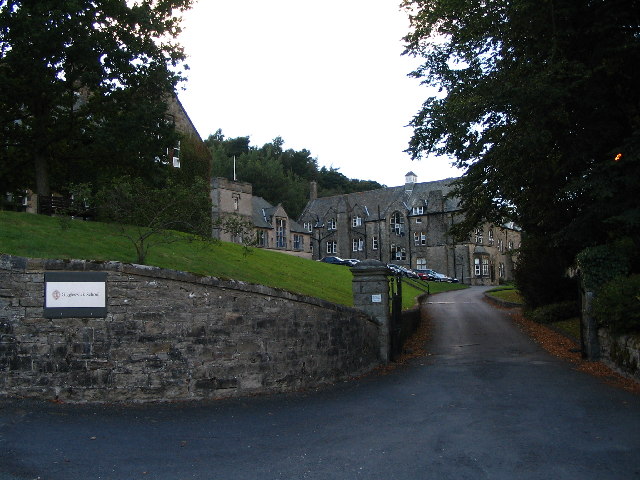
Giggleswick School

Giggleswick School is a public school (English private boarding and day school) in Giggleswick, near Settle, North Yorkshire, England. == Early school... ==

Austwick

Austwick is a village and civil parish in the Craven district of North Yorkshire, England, about 5 miles (8 km) north-west of Settle. The village is on...

Have you been to Leva Green?

Leave your review of Leva Green below (or comments, questions and feedback).