Cheese Hill
Hill, Mountain in Somerset Mendip
England
Cheese Hill

Cheese Hill is a prominent hill located in Somerset, England. It is situated on the southern edge of the Mendip Hills, a range known for its stunning natural landscapes. With an elevation of approximately 250 meters (820 feet), Cheese Hill offers breathtaking panoramic views of the surrounding countryside.
The hill derives its name from the local tradition of cheese rolling, a unique and long-standing event that takes place on its slopes. Every year, during the spring bank holiday, participants gather to roll wheels of cheese down the steep incline, competing to see who can reach the bottom first. This quirky tradition has become a popular attraction, drawing both locals and tourists alike.
Aside from its association with cheese rolling, Cheese Hill is also renowned for its diverse flora and fauna. The hill is home to a variety of plant species, including rare orchids and wildflowers, which bloom during the spring and summer months. The abundance of wildlife in the area makes it a popular destination for nature enthusiasts and birdwatchers.
Access to Cheese Hill is relatively easy, with a network of footpaths and trails leading to its summit. Visitors can enjoy a leisurely hike to the top, where they will be rewarded with breathtaking views of the Somerset Levels, the Bristol Channel, and even glimpses of the distant Welsh coastline on clear days.
Overall, Cheese Hill is a gem in the Somerset countryside, offering a unique blend of natural beauty, cultural traditions, and recreational opportunities for all to enjoy.
If you have any feedback on the listing, please let us know in the comments section below.
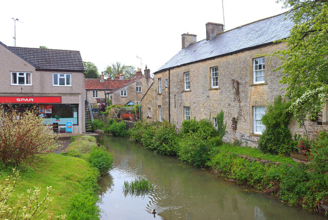
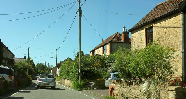
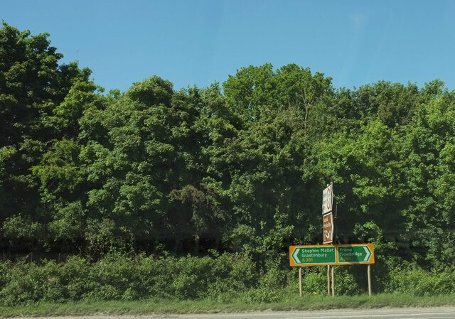
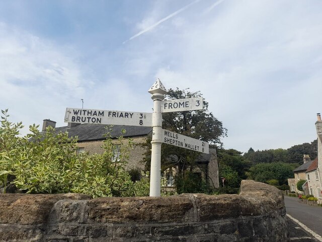
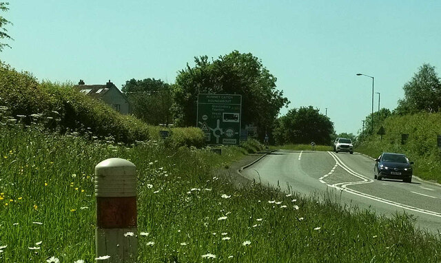
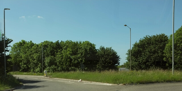
Cheese Hill Images
Images are sourced within 2km of 51.2061/-2.3578934 or Grid Reference ST7545. Thanks to Geograph Open Source API. All images are credited.


Cheese Hill is located at Grid Ref: ST7545 (Lat: 51.2061, Lng: -2.3578934)
Administrative County: Somerset
District: Mendip
Police Authority: Avon and Somerset
What 3 Words
///lessening.imitate.myths. Near Frome, Somerset
Nearby Locations
Related Wikis
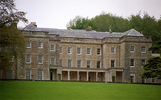
Marston Bigot Park
Marston Bigot Park encompasses approximately 222 hectares (2,220,000 m2) and includes Marston House, Marston Pond and the remains of the medieval shrunken...
Marston Bigot
Marston Bigot is a small village and former civil parish, now in the parish of Trudoxhill in the Somerset district, in the ceremonial county of Somerset...

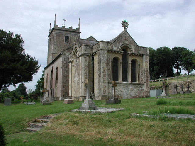
Church of All Saints, Nunney
The Church of All Saints at Nunney, Somerset, England, is a Grade I listed building dating from the 12th century. It was probably built on the site of...

Nunney
Nunney is a village and civil parish in the English county of Somerset. It is located 3 miles (5 km) south-west of Frome and the parish includes the hamlet...
Nearby Amenities
Located within 500m of 51.2061,-2.3578934Have you been to Cheese Hill?
Leave your review of Cheese Hill below (or comments, questions and feedback).