Green Hill
Hill, Mountain in Yorkshire Craven
England
Green Hill
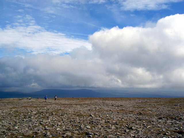
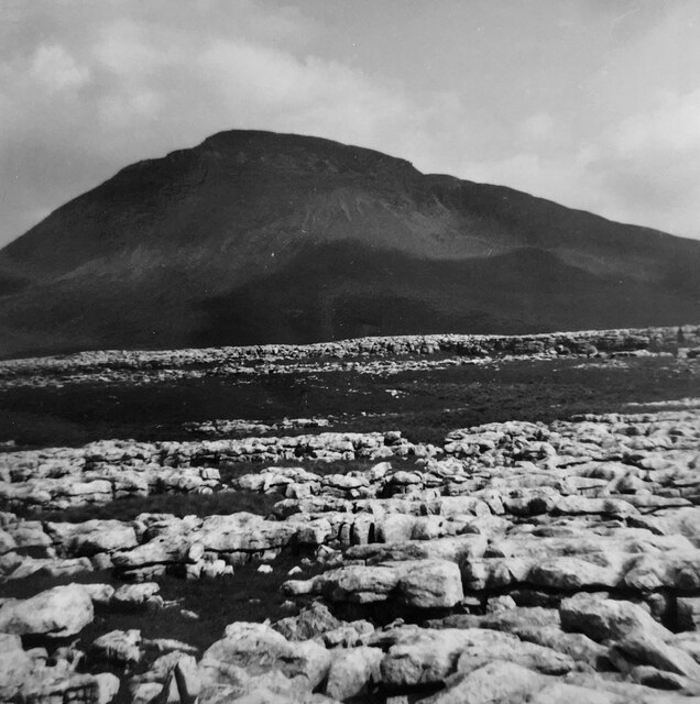
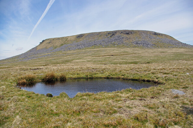
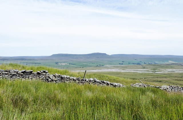
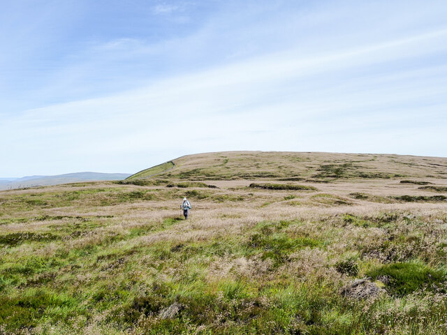
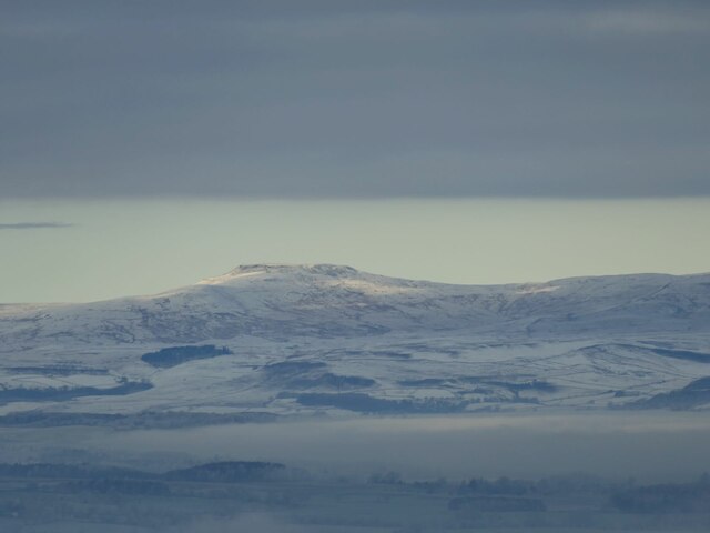
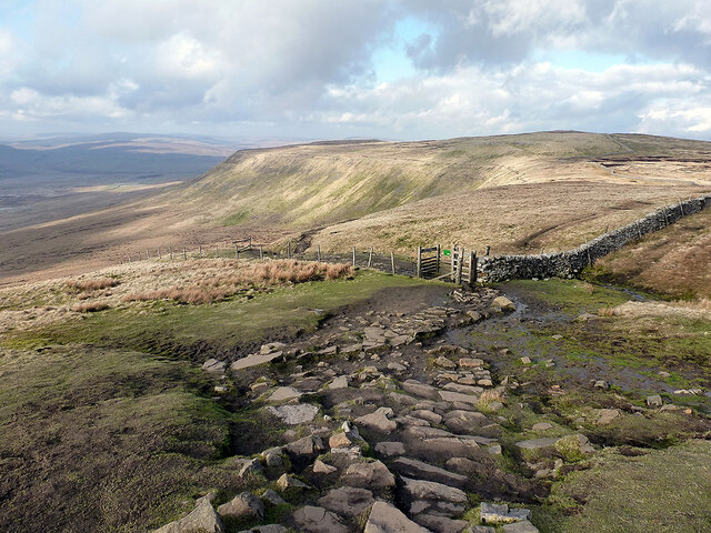
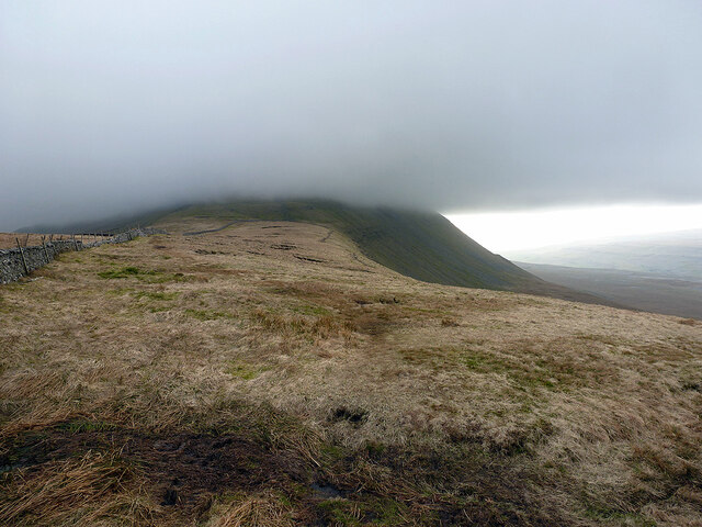
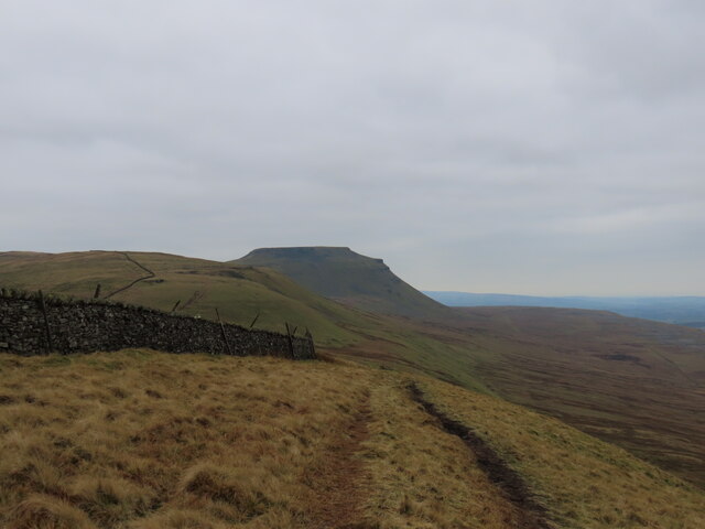
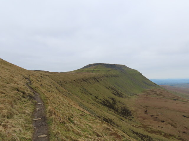
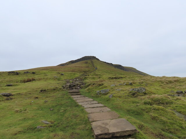
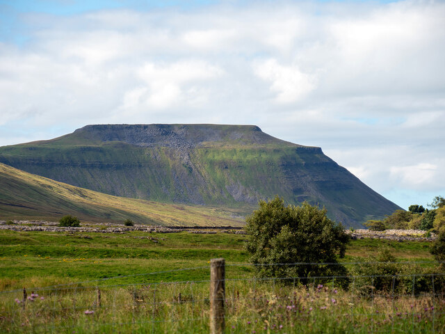
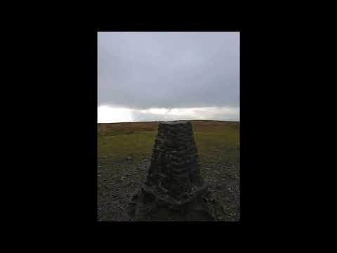
Green Hill is a prominent feature in the picturesque landscape of Yorkshire, England. Located in the heart of the county, this hill stands proud with an elevation of approximately 500 meters above sea level, making it a notable landmark in the area. Situated amidst the captivating beauty of the Yorkshire Dales, Green Hill offers breathtaking views of the surrounding countryside.
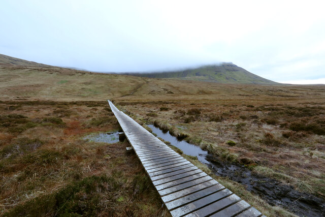
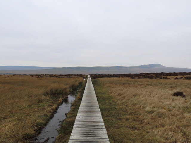
Covered in lush greenery, the hill is a haven for nature enthusiasts and hikers alike. Its gentle slopes and well-defined paths make it accessible to visitors of all ages and abilities. As one ascends the hill, they are rewarded with panoramic vistas of rolling hills, meandering rivers, and quaint villages nestled in the valleys below.
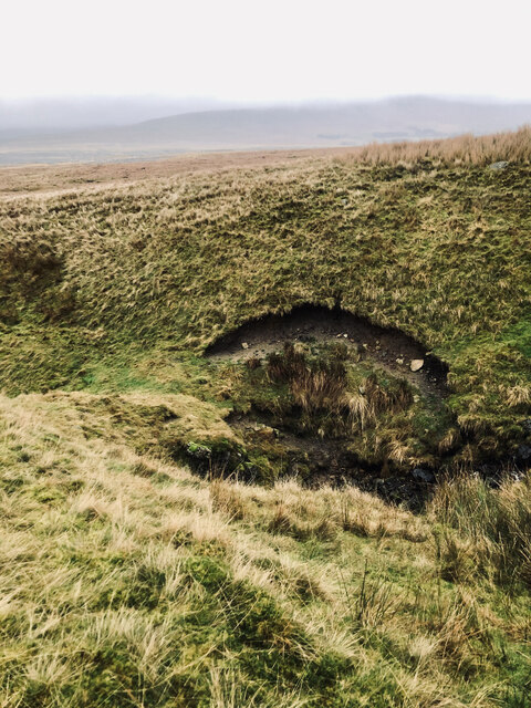
Green Hill is blessed with a diverse range of flora and fauna, providing a habitat for various species of birds, mammals, and plant life. The hillside is adorned with colorful wildflowers during the summer months, creating a vibrant tapestry of nature's beauty.
The hill is not only cherished for its natural splendor but also for its historical significance. It is believed to have been a site of ancient settlements, with remnants of stone circles and burial mounds discovered in the vicinity. These archaeological findings offer a glimpse into the lives of the people who inhabited the area centuries ago.
Whether one seeks tranquility, adventure, or a deeper connection with nature and history, Green Hill in Yorkshire is a destination that captivates the senses and leaves a lasting impression.
If you have any feedback on the listing, please let us know in the comments section below.
Green Hill Images
Images are sourced within 2km of 54.168514/-2.3825568 or Grid Reference SD7574. Thanks to Geograph Open Source API. All images are credited.

Green Hill is located at Grid Ref: SD7574 (Lat: 54.168514, Lng: -2.3825568)
Division: West Riding
Administrative County: North Yorkshire
District: Craven
Police Authority: North Yorkshire
What 3 Words
///dividers.raced.woodstove. Near Ingleton, North Yorkshire
Nearby Locations
Related Wikis

Simon Fell (Yorkshire Dales)
Simon Fell is a subsidiary summit on the north east ridge of Ingleborough, a mountain in the Yorkshire Dales in Northern England. With a height of 650...

Yorkshire Three Peaks
The mountains of Whernside (736 m or 2,415 ft), Ingleborough (723 m or 2,372 ft) and Pen-y-ghent (694 m or 2,277 ft) are collectively known as the Three...

Ingleborough
Ingleborough (723 m or 2,372 ft) is the second-highest mountain in the Yorkshire Dales, England. It is one of the Yorkshire Three Peaks (the other two...
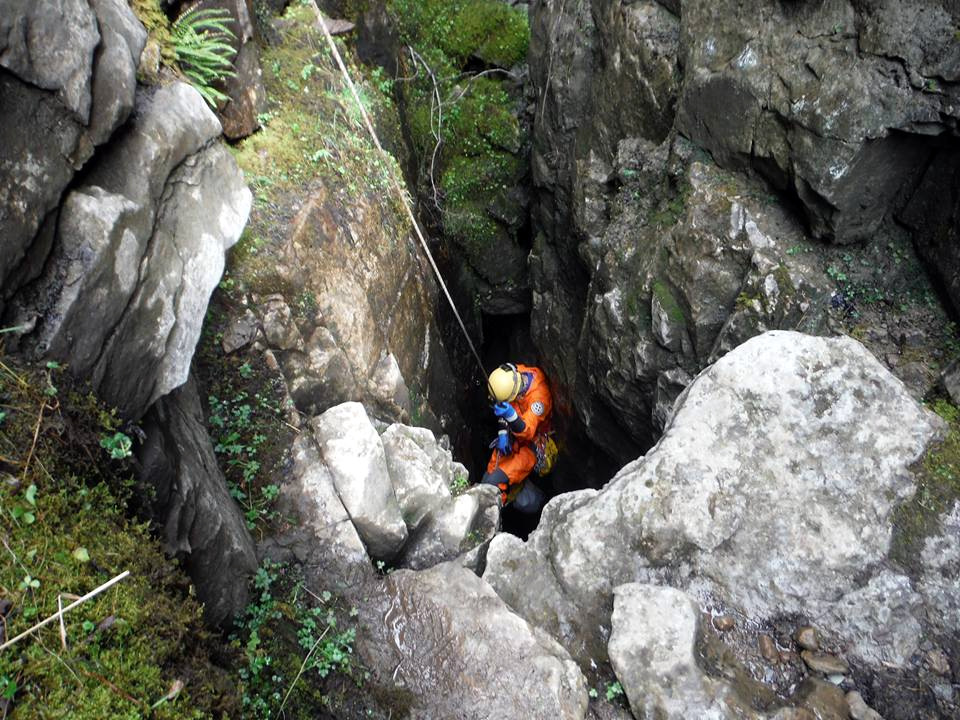
Long Kin East Cave - Rift Pot System
The Long Kin East Cave - Rift Pot system is a limestone cave system on the southern flanks of Ingleborough, North Yorkshire in England lying within the...
Juniper Gulf
Juniper Gulf is a pit cave in on the side of Ingleborough in Yorkshire, England. It is a popular single rope technique (SRT) trip for cavers, especially...

Rat Hole, Gaping Gill
Rat Hole is one of the entrances to the Gaping Gill cave system, located in the north bank of Fell Beck 30 metres (33 yd) upstream of Gaping Gill Main...

Gaping Gill
Gaping Gill (also known as Gaping Ghyll) is a natural cave in North Yorkshire, England. It is one of the unmistakable landmarks on the southern slopes...

Jib Tunnel
Jib Tunnel, also known as Lateral Passage is one of the entrances into the Gaping Gill cave system, located behind a large boulder in the north bank of...
Related Videos

Hiking Part II
hikecoholic.
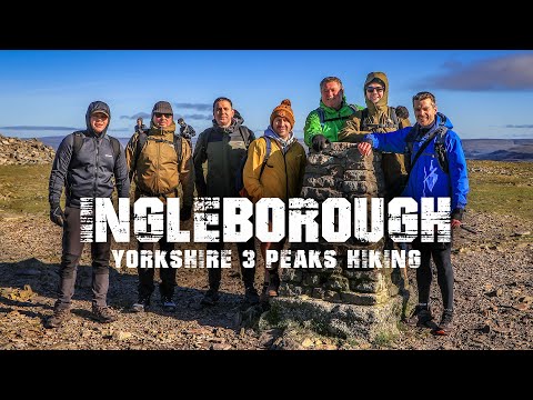
Ingleborough 3 Peaks Hiking - Yorkshire Dales
Hi all, today's adventure hike comes from the Yorkshire Dales, taking on the 3 Peaks Ingleborough Mountain for a stunning hiking ...

Peak of Madness 2023 Yorkshire 3 Peaks #hiking #mountains #travel #travelvlog
3 Peaks Challenge, completed it mate. More of this to come: It's a real pleasure to film and release the start of my Philippines ...
Wild wandering- Biking and hiking Ingleborough ✌️
40 miles on the bike and a wander up Ingleborough.
Nearby Amenities
Located within 500m of 54.168514,-2.3825568Have you been to Green Hill?
Leave your review of Green Hill below (or comments, questions and feedback).