Wild Boar Fell

Hill, Mountain in Westmorland Eden

England

Wild Boar Fell

Section of Ais Gill with flat bed near White Kirk
Section of Ais Gill with flat bed near White Kirk Credit: Roger Templeman

The requested URL returned error: 429 Too Many Requests

If you have any feedback on the listing, please let us know in the comments section below.

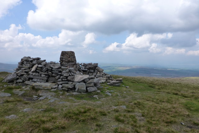
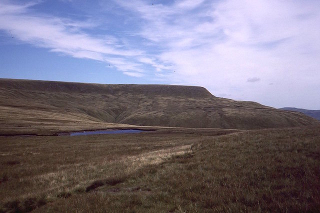
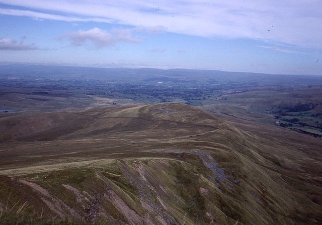
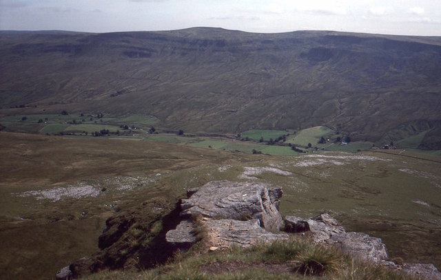
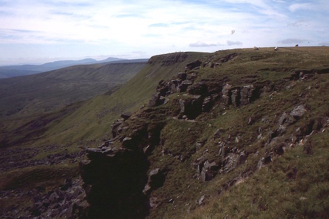
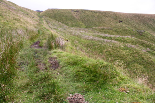
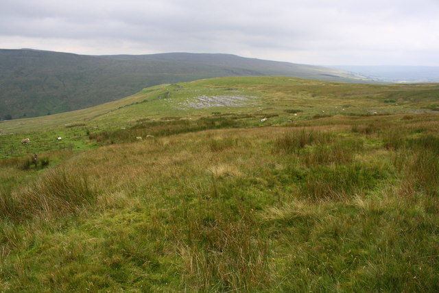
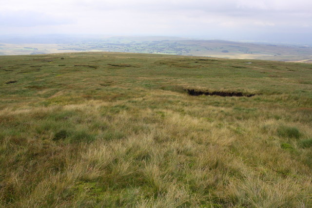
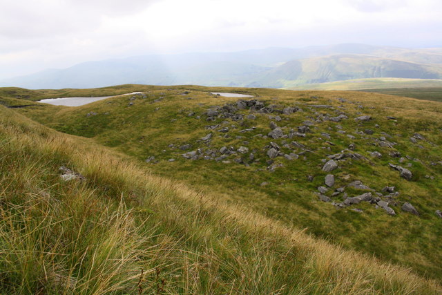
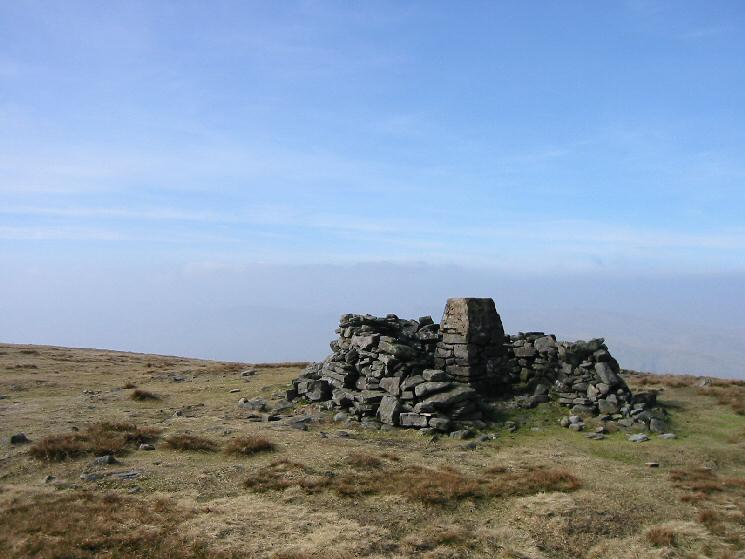
Wild Boar Fell Images

Images are sourced within 2km of 54.384353/-2.3742001 or Grid Reference SD7598. Thanks to Geograph Open Source API. All images are credited.

Section of Ais Gill with flat bed near White Kirk
Rose Cottage at Angrholme
Arches of Aisgill Viaduct The viaduct is on the Settle to Carlisle line. The view is from the B6259 at Aisgill Farm across the property at Beckside Barn.
Aisgill is known for being the location of a crash in 1913 which killed 16 people, it happened just to the south of the viaduct - left in the image.
Arches of Aisgill Viaduct
The viaduct is on the Settle to Carlisle line. The view is from the B6259 at Aisgill Farm across the property at Beckside Barn. Aisgill is known for being the location of a crash in 1913 which killed 16 people, it happened just to the south of the viaduct - left in the image.
Southbound steam charter passing Wild Boar Fell The locomotive is 46100 Royal Scot
Southbound steam charter passing Wild Boar Fell
The locomotive is 46100 Royal Scot
Wild Boar Fell from the Pennine Bridleway heading down to the Moorcock pub
Wild Boar Fell
Wild Boar Fell
Ais Gill Flowing under the Settle - Carlisle railway at Aisgill Farm.
The gill gives its name to the railway summit nearby.
Ais Gill
Flowing under the Settle - Carlisle railway at Aisgill Farm. The gill gives its name to the railway summit nearby.
Ais Gill valley Seen from the railway bridge over the valley
Ais Gill valley
Seen from the railway bridge over the valley
North side of Swarth Fell With a fine view of Wild Boar Fell.
North side of Swarth Fell
With a fine view of Wild Boar Fell.
Tarn beneath Wild Boar Fell The boggy col with Swarth Fell.
Tarn beneath Wild Boar Fell
The boggy col with Swarth Fell.
Scriddles Scriddles is the mapped name for the screes on the north ridge of Wild Boar Fell.  View north from the Nab towards the North Pennines.
Scriddles
Scriddles is the mapped name for the screes on the north ridge of Wild Boar Fell. View north from the Nab towards the North Pennines.
View off The Nab Looking over Mallerstang from Wild Boar Fell.  The limestone plinth of the hill shows well from here.
View off The Nab
Looking over Mallerstang from Wild Boar Fell. The limestone plinth of the hill shows well from here.
Yoadcomb Scar Broken crags on the east side of Wild Boar Fell.  Ingleborough and Whernside are in the background along with some curricks on Wild Boar Fell.


A currick is a stone man, common in the North Pennines.  Could be considered a “local” word, it’s not used in Scotland, but perhaps its  that there are only some localities with lots of hills and flat stones so that they can be built.  The usual story is that they are Scotsman deterrents, looking like alert men watching over the cattle.  However I have not seen them so much in Southern Scotland which of course also suffered cattle raids, but the geology is not so favourable. They are almost always in visible places, on edges.  Personally I think they were built for fun.  

The best Scottish examples were on Geal Charn above the Pass of Drumochter but some idiot demolished them in the 1990s.
Yoadcomb Scar
Broken crags on the east side of Wild Boar Fell. Ingleborough and Whernside are in the background along with some curricks on Wild Boar Fell. A currick is a stone man, common in the North Pennines. Could be considered a “local” word, it’s not used in Scotland, but perhaps its that there are only some localities with lots of hills and flat stones so that they can be built. The usual story is that they are Scotsman deterrents, looking like alert men watching over the cattle. However I have not seen them so much in Southern Scotland which of course also suffered cattle raids, but the geology is not so favourable. They are almost always in visible places, on edges. Personally I think they were built for fun. The best Scottish examples were on Geal Charn above the Pass of Drumochter but some idiot demolished them in the 1990s.
Railway Viaduct above Aisgill Farm
Ascending the Pennine Bridleway at High Dolpinsty
View from Pennine Bridleway towards Little Wold limestone pavement
Greenrigg Moss on the descent from Wild Boar Fell
Sand Tarn from Sandtarn Riggs
Show me another place!

Wild Boar Fell is located at Grid Ref: SD7598 (Lat: 54.384353, Lng: -2.3742001)

Administrative County: Cumbria

District: Eden

Police Authority: Cumbria

What 3 Words

///hairstyle.coveted.cabs. Near Kirkby Stephen, Cumbria

Related Wikis

Wild Boar Fell

Wild Boar Fell is a mountain in the Yorkshire Dales National Park, on the eastern edge of Cumbria, England. At 2,323 feet (708 m), it is either the 4th...

1995 Ais Gill rail accident

The 1995 Ais Gill rail accident occurred near Aisgill, Cumbria, UK, at about 18:55 on 31 January 1995, when a class 156 Super-Sprinter was derailed by...

Swarth Fell

Swarth Fell is an approximately 1 mile (1.5 km) stretch of high ground (consisting mainly of limestone capped with millstone grit) situated to the south...

1913 Ais Gill rail accident

The Ais Gill rail accident occurred on the Settle–Carlisle line in Northwest England on 2 September 1913. Two long trains were both ascending a steep gradient...

Nearby Amenities

Located within 500m of 54.384353,-2.3742001
Wild Boar Fell
Ele: 708
Natural: peak
Source: npe
Wikidata: Q8522165
Wikipedia: en:Wild Boar Fell
Lat/Long: 54.384369/-2.3741915
Man Made: survey_point
Lat/Long: 54.3843655/-2.3742082
Barrier: stile
Material: wood
Stile: stepover
Lat/Long: 54.3814278/-2.3686433
Man Made: cairn
Lat/Long: 54.3815429/-2.3685547
Man Made: cairn
Lat/Long: 54.3815502/-2.368524
Man Made: cairn
Lat/Long: 54.3815689/-2.3685352
Man Made: cairn
Lat/Long: 54.381485/-2.3684596
Abandoned: yes
Historic: mine_shaft
Man Made: mineshaft
Lat/Long: 54.387491/-2.3730295
The data included in this document is from www.openstreetmap.org. The data is made available under ODbL.

Have you been to Wild Boar Fell?

Leave your review of Wild Boar Fell below (or comments, questions and feedback).