Steen Hill

Hill, Mountain in Lancashire

England

Steen Hill

Summit of Grey Stone Hill Moorland gradually slopes down on all sides from the summit, which is crowned with a small gritstone boulder - presumably giving this hill its name.
Summit of Grey Stone Hill Credit: Chris Heaton

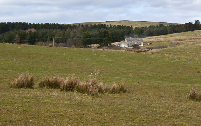
Steen Hill is a prominent geographical feature located in the county of Lancashire, England. Situated in the northern part of the county, Steen Hill is a relatively small hill with a distinguishable peak that offers panoramic views of the surrounding countryside.

At an elevation of approximately 150 meters (492 feet), Steen Hill is not classified as a mountain but rather a hill. Despite its modest height, it remains a popular destination for hikers, nature enthusiasts, and locals looking for a picturesque spot to enjoy outdoor activities.

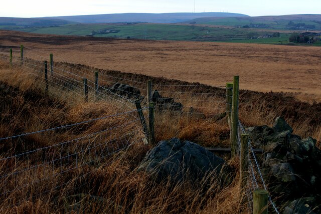
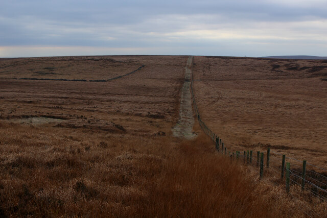
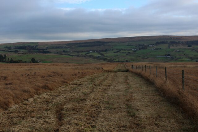
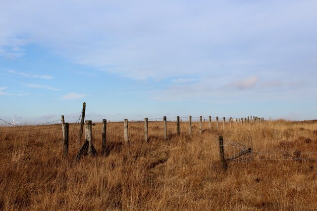
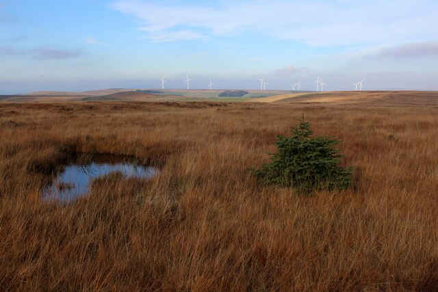
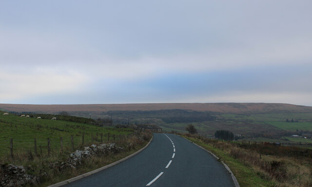
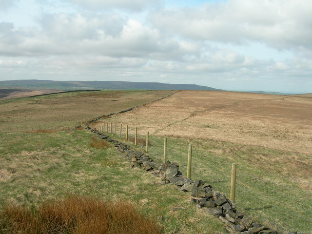
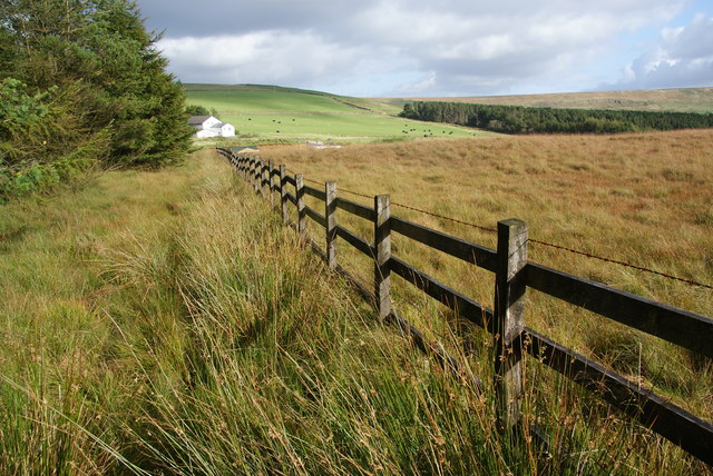
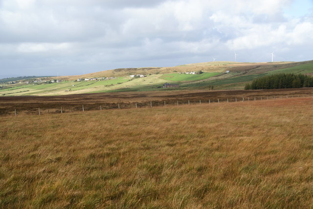
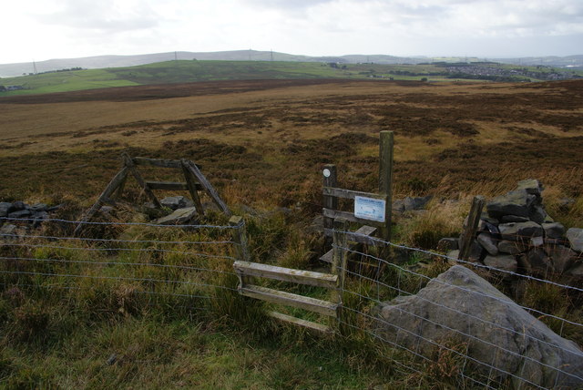
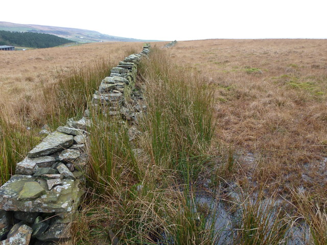
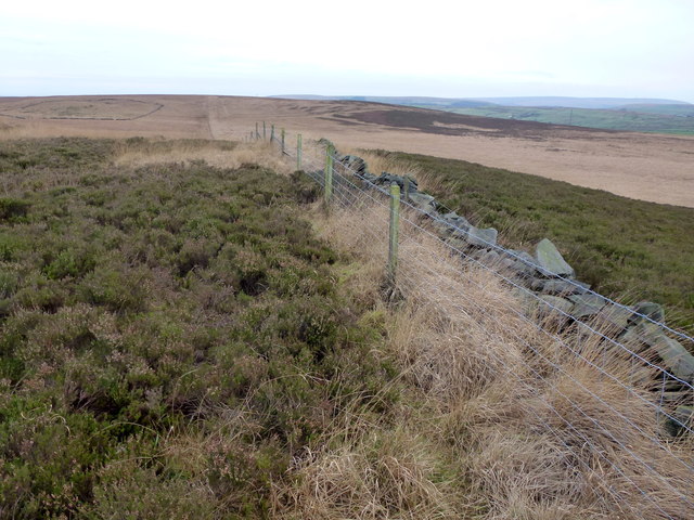
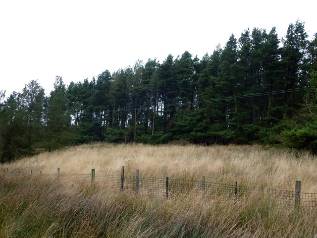
The hill is characterized by its gentle slopes, covered with lush green vegetation, which adds to its scenic beauty. It is home to a variety of plant and animal species, making it an important habitat for local wildlife. The surrounding area consists of rolling hills and fields, with small villages nestled in the valleys.

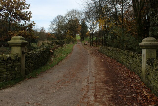
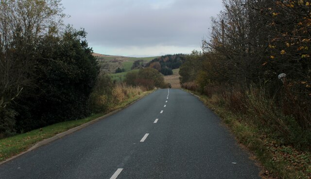
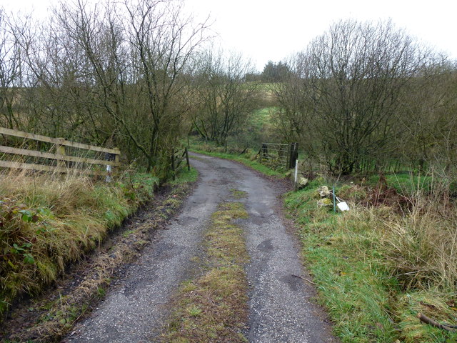
Steen Hill is easily accessible, with several footpaths leading to its summit. Visitors can enjoy a leisurely stroll or a more challenging hike, depending on their preferences and fitness levels. Numerous viewpoints along the way provide opportunities to capture stunning photographs of the Lancashire countryside.

The hill is also steeped in history, with evidence of ancient settlements and burial mounds dating back thousands of years. Archaeological excavations have unearthed artifacts that shed light on the lives and activities of the people who once inhabited the area.

Overall, Steen Hill is a tranquil and visually appealing destination that offers a peaceful retreat from the hustle and bustle of everyday life. Whether it be for recreation, exploration, or simply to appreciate the natural beauty, a visit to Steen Hill is sure to leave a lasting impression.

If you have any feedback on the listing, please let us know in the comments section below.
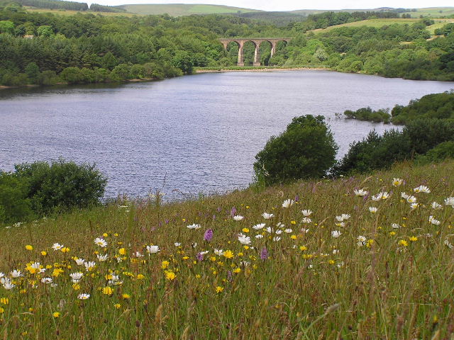
Steen Hill Images

Images are sourced within 2km of 53.67121/-2.3932916 or Grid Reference SD7419. Thanks to Geograph Open Source API. All images are credited.

Summit of Grey Stone Hill Moorland gradually slopes down on all sides from the summit, which is crowned with a small gritstone boulder - presumably giving this hill its name.
Summit of Grey Stone Hill
Moorland gradually slopes down on all sides from the summit, which is crowned with a small gritstone boulder - presumably giving this hill its name.
Heading towards Soot Hill Descending the southern flank of Grey Stone Hill towards the distant Soot Hill.  A strip has been cut beside the fence making progress much easier.
Heading towards Soot Hill
Descending the southern flank of Grey Stone Hill towards the distant Soot Hill. A strip has been cut beside the fence making progress much easier.
Horse Hey A convenient channel has been cut beside the fence, facilitating progress
Horse Hey
A convenient channel has been cut beside the fence, facilitating progress
Broken Dry Stone Wall over Orrell Moss A public footpath follows this wall, although there is no sign of it on the ground.
Broken Dry Stone Wall over Orrell Moss
A public footpath follows this wall, although there is no sign of it on the ground.
Assortment of Fence Posts on Causeway Height The moorland vegetation has taken on a splendid autumnal red-brown colour
Assortment of Fence Posts on Causeway Height
The moorland vegetation has taken on a splendid autumnal red-brown colour
Barnes Height Isolated and stunted Christmas Tree on boggy ground on high moorland between Darwen and Haslingden
Barnes Height
Isolated and stunted Christmas Tree on boggy ground on high moorland between Darwen and Haslingden
Private Road to Uglow Farm Leading off Broadhead Road, this private driveway has been adopted by a public footpath
Private Road to Uglow Farm
Leading off Broadhead Road, this private driveway has been adopted by a public footpath
Broadhead Road below Whowells
Broadhead Road near Clough Head
Hog Lowe Pike Boundary Fence With the path on the right coming over from Egerton Moss. Jubilee Tower and Darwen Moor in the background.
Hog Lowe Pike Boundary Fence
With the path on the right coming over from Egerton Moss. Jubilee Tower and Darwen Moor in the background.
Path by the forest edge The path is signed by Lancashire County Council though it isn't now in their administrative area. It isn't easy going, with tufts surrounded by standing water. Beyond the trees is Pastures Farm which now appears to be just a residence.
Path by the forest edge
The path is signed by Lancashire County Council though it isn't now in their administrative area. It isn't easy going, with tufts surrounded by standing water. Beyond the trees is Pastures Farm which now appears to be just a residence.
Grassy moorland on Grey Stone Hill Grey Stone Hill is only a gentle rise but it comprises a large area of soggy moorland grass. Behind this view is Pickup Bank.
Grassy moorland on Grey Stone Hill
Grey Stone Hill is only a gentle rise but it comprises a large area of soggy moorland grass. Behind this view is Pickup Bank.
Fences and stile on Grey Stone Hill The hill doesn't have much to suggest a hill top and the slopes are gentle in all directions. This view looks towards Hoddlesden.
Fences and stile on Grey Stone Hill
The hill doesn't have much to suggest a hill top and the slopes are gentle in all directions. This view looks towards Hoddlesden.
Crumbling dry stone wall
Farm access lane near Broadhead
Fence and wall on Grey Stone Hill
Pine plantation
Pine plantation
Signs of habitation at Longshoots
Show me another place!

Steen Hill is located at Grid Ref: SD7419 (Lat: 53.67121, Lng: -2.3932916)

Unitary Authority: Blackburn with Darwen

Police Authority: Lancashire

What 3 Words

///flat.succumbs.reply. Near Edgworth, Lancashire

Related Wikis

Whittlestone Head railway station

Whittlestone Head railway station served the hamlet of Whittlestone Head, Lancashire, England, in 1848 on the Blackburn, Darwen and Bolton Railway. �...

Entwistle railway station

Entwistle railway station (first opened in 1848) is 5+3⁄4 miles (9.3 km) north of Bolton and serves the village of Entwistle. It is also the closest station...

Entwistle, Lancashire

Entwistle is a village in the Blackburn with Darwen unitary authority in Lancashire in the north west of England. Its name derives from the Old English...

West Pennine Moors

The West Pennine Moors is an area of the Pennines covering approximately 90 square miles (230 km2) of moorland and reservoirs in Lancashire and Greater...

Have you been to Steen Hill?

Leave your review of Steen Hill below (or comments, questions and feedback).