Higher Barn Clough
Valley in Lancashire
England
Higher Barn Clough
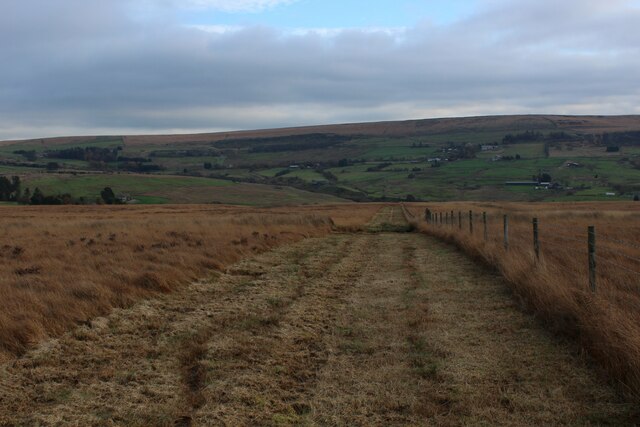
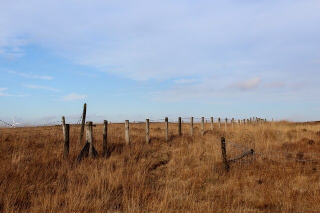
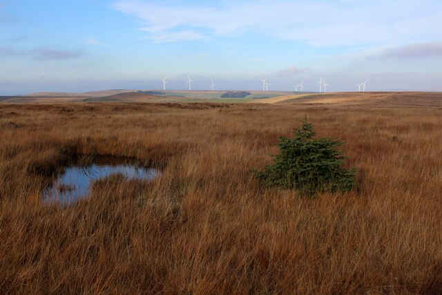
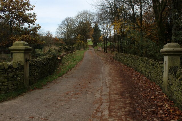
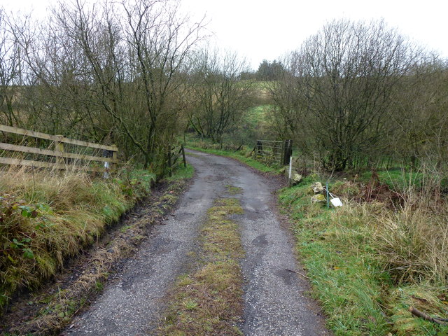
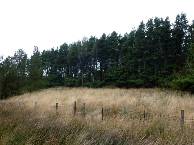
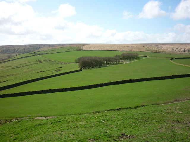
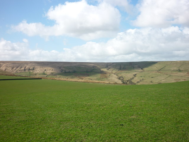
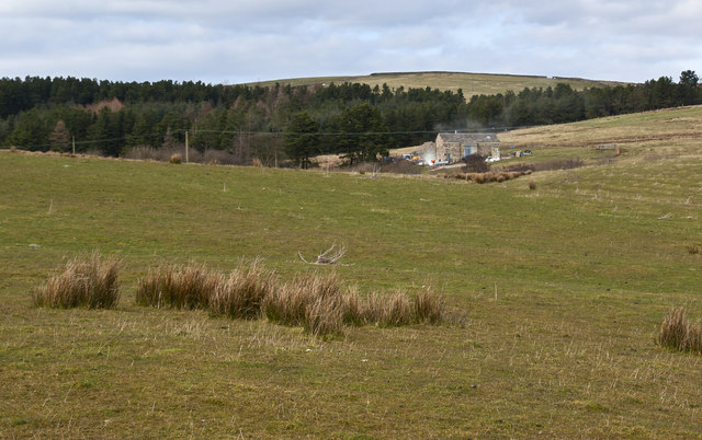
Higher Barn Clough is a picturesque valley located in the county of Lancashire, England. Situated in the heart of the Rossendale Valley, it is known for its stunning natural beauty and tranquil atmosphere. The clough is surrounded by rolling hills and dense woodland, creating an idyllic setting for outdoor enthusiasts and nature lovers.
The valley is characterized by its meandering stream, which runs through the center, adding to its charm and providing a habitat for a variety of wildlife. The lush greenery and colorful wildflowers that adorn the landscape during the spring and summer months make it a popular spot for hikers and photographers.
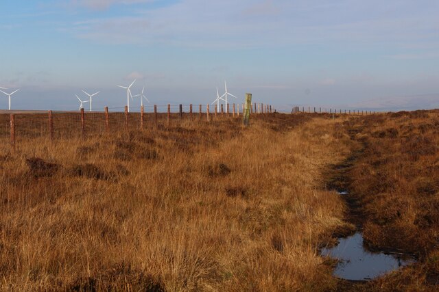
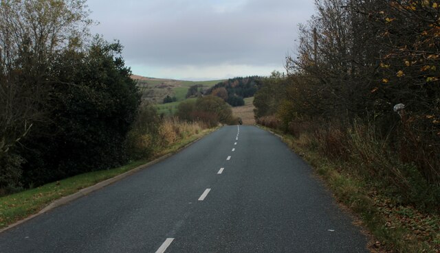
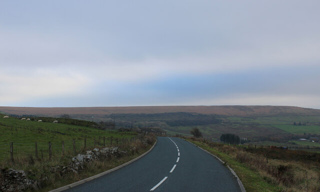
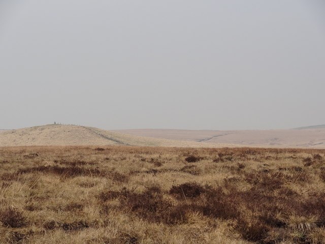
Higher Barn Clough offers a range of recreational activities, including walking trails that cater to all abilities. For those seeking a leisurely stroll, there are well-maintained paths that wind through the valley, providing breathtaking views at every turn. More adventurous hikers can choose from a network of challenging footpaths that lead to higher elevations, rewarding them with panoramic vistas of the surrounding countryside.
The valley is also home to a number of historic landmarks, such as the Higher Barn Clough Farm, a charming farmhouse that dates back to the 17th century. Additionally, the area is dotted with remnants of the region's industrial past, including old mill buildings and reservoirs, offering a glimpse into Lancashire's rich heritage.
Overall, Higher Barn Clough is a hidden gem in Lancashire, offering visitors a chance to escape the hustle and bustle of modern life and immerse themselves in the beauty of nature. Whether it's a leisurely walk or an adventurous hike, this valley is a must-visit destination for anyone seeking tranquility and stunning vistas.
If you have any feedback on the listing, please let us know in the comments section below.
Higher Barn Clough Images
Images are sourced within 2km of 53.669473/-2.385526 or Grid Reference SD7419. Thanks to Geograph Open Source API. All images are credited.


Higher Barn Clough is located at Grid Ref: SD7419 (Lat: 53.669473, Lng: -2.385526)
Unitary Authority: Blackburn with Darwen
Police Authority: Lancashire
What 3 Words
///devalued.rent.relies. Near Edgworth, Lancashire
Nearby Locations
Related Wikis

Entwistle railway station
Entwistle railway station (first opened in 1848) is 5+3⁄4 miles (9.3 km) north of Bolton and serves the village of Entwistle. It is also the closest station...
Entwistle, Lancashire
Entwistle is a village in the Blackburn with Darwen unitary authority in Lancashire in the north west of England. Its name derives from the Old English...

Whittlestone Head railway station
Whittlestone Head railway station served the hamlet of Whittlestone Head, Lancashire, England, in 1848 on the Blackburn, Darwen and Bolton Railway. �...

Alden Valley
The Alden Valley is a small valley on the eastern edge of the West Pennine Moors, west of Helmshore in Rossendale, Lancashire, England. In the 14th century...
Turton F.C.
Turton Football Club is a football club based in Edgworth, in the North Turton district of Blackburn with Darwen, Lancashire, England. They are currently...

Musbury Tor
Musbury Tor or Tor Hill is a flat-topped hill in south-east Lancashire, England. It overlooks the village of Helmshore and separates Alden Valley to its...

Musbury Valley
The Musbury Valley is a small valley in the Helmshore area of Rossendale Valley, Lancashire. Musbury Brook flows through its length, and its south side...
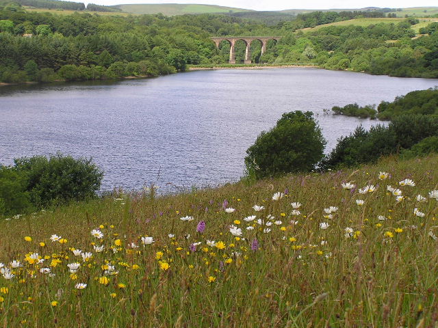
Wayoh Reservoir
Wayoh Reservoir is a water reservoir in the town of Edgworth, Lancashire, England. It was completed on 28 April 1876 to supply water to Bolton. Wayoh,...
Nearby Amenities
Located within 500m of 53.669473,-2.385526Have you been to Higher Barn Clough?
Leave your review of Higher Barn Clough below (or comments, questions and feedback).