Barrow Hill

Hill, Mountain in Gloucestershire Stroud

England

Barrow Hill

Saul church I wonder if this village used to be called Paul... shame it's not on the way to a place called Damascus.
Saul church Credit: mym

Barrow Hill, located in Gloucestershire, is a prominent and picturesque hill that stands tall in the landscape. With an elevation of approximately 193 meters (633 feet), it offers breathtaking panoramic views of the surrounding countryside and the nearby River Severn. Situated in the Cotswold Area of Outstanding Natural Beauty, Barrow Hill attracts visitors and hikers who are drawn to its natural beauty and tranquil ambiance.

The hill itself is characterized by its gentle slopes, which are covered with lush green grass and scattered with wildflowers during the warmer months. It is predominantly composed of limestone, a common geological feature in the Cotswolds region. The limestone contributes to the diverse flora and fauna found on Barrow Hill, including rare plant species such as the Cotswold Pennycress.

At the summit of Barrow Hill, there is a trig point that marks the highest point. This provides a perfect vantage point for visitors to admire the stunning views of the rolling hills, valleys, and woodlands that stretch out in every direction. On clear days, it is even possible to catch a glimpse of the distant Malvern Hills and the Black Mountains in Wales.

Barrow Hill is a popular destination for outdoor enthusiasts, offering a range of activities such as hiking, birdwatching, and photography. Numerous footpaths and trails crisscross the hill, allowing visitors to explore its natural wonders at their own pace. Whether it's a leisurely stroll or a challenging hike, Barrow Hill promises an unforgettable experience for nature lovers and adventurers alike.

If you have any feedback on the listing, please let us know in the comments section below.
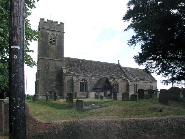
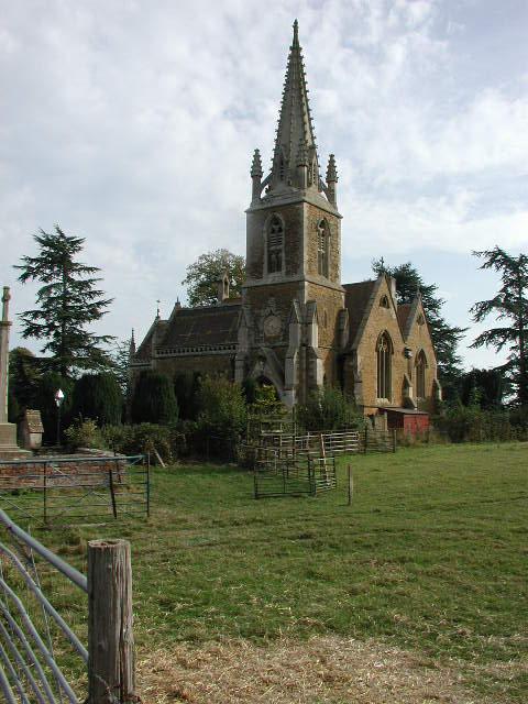
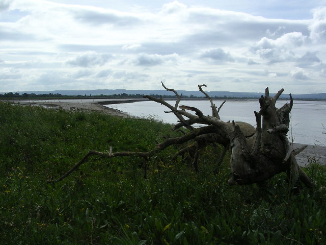
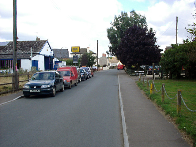
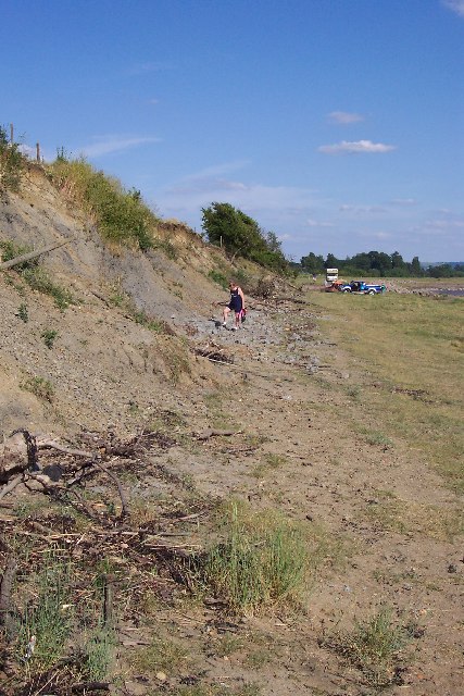
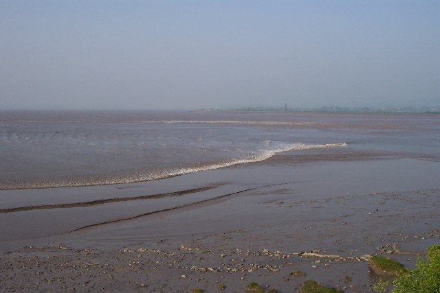
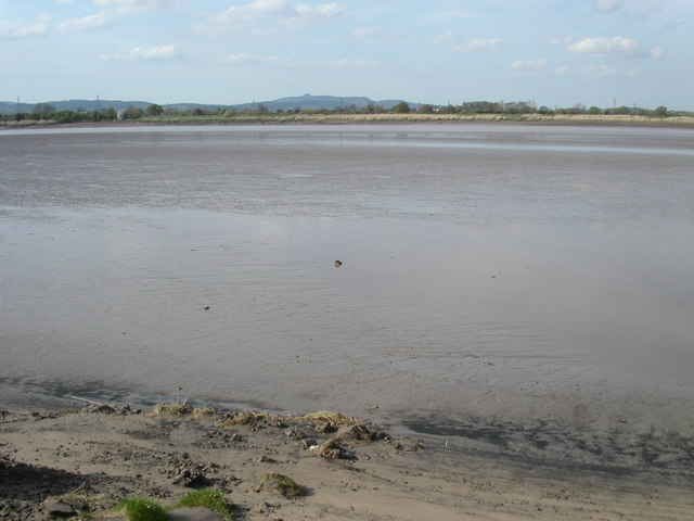
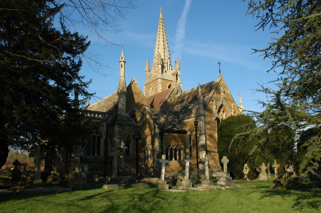
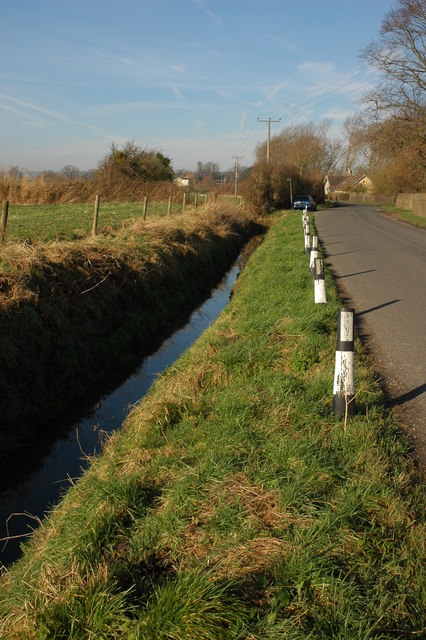
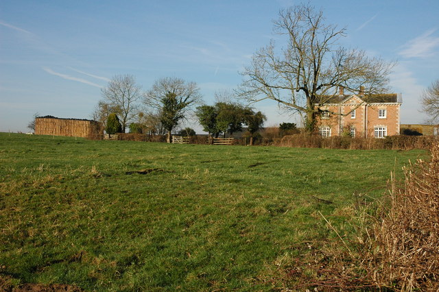
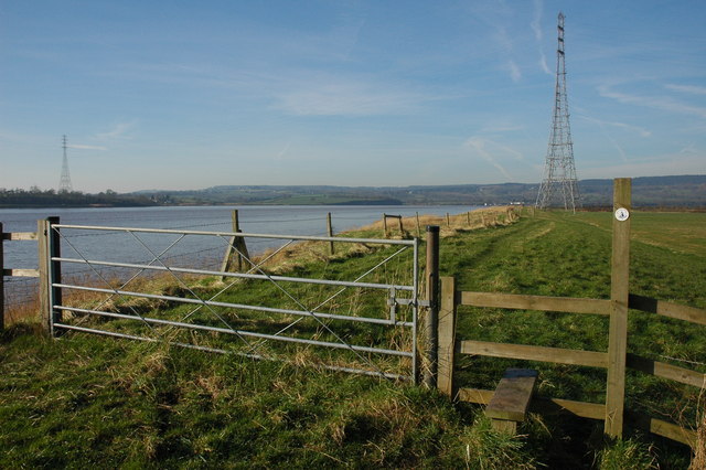
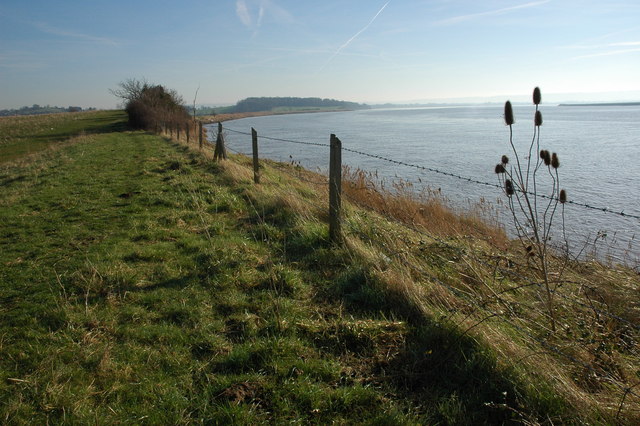
Barrow Hill Images

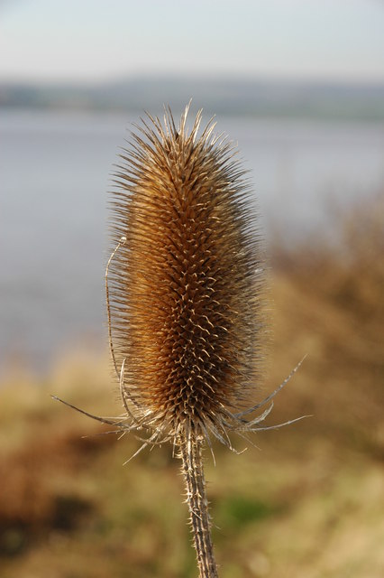
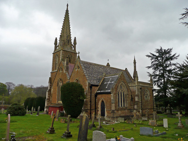
Images are sourced within 2km of 51.78979/-2.3924077 or Grid Reference SO7310. Thanks to Geograph Open Source API. All images are credited.

Saul church I wonder if this village used to be called Paul... shame it's not on the way to a place called Damascus.
Saul church
I wonder if this village used to be called Paul... shame it's not on the way to a place called Damascus.
Fretherne (Glos) St Mary's Church
Severn Estuary shoreline including Saul Warth Area prone to flooding around Saul Warth, may become managed realignment scheme.
Severn Estuary shoreline including Saul Warth
Area prone to flooding around Saul Warth, may become managed realignment scheme.
High Street, Saul Looking north along High Street from just north of the junction with Church Lane. Saul has a pub and garage but no shop or post office.
High Street, Saul
Looking north along High Street from just north of the junction with Church Lane. Saul has a pub and garage but no shop or post office.
Hock Cliff Hock Cliff is stuffed with lower lias fossils like the devil's toenail (Gryphaea Oyster) and ammonites just waiting to be collected from the rubble at the base of the cliff. However they are grey and crumbly and so don't make great specimens. We found an Ichthysaurus vertebra this particular day. There are some hovercraft waiting to go skimming across the mudflats in the distance.
Hock Cliff
Hock Cliff is stuffed with lower lias fossils like the devil's toenail (Gryphaea Oyster) and ammonites just waiting to be collected from the rubble at the base of the cliff. However they are grey and crumbly and so don't make great specimens. We found an Ichthysaurus vertebra this particular day. There are some hovercraft waiting to go skimming across the mudflats in the distance.
Severn Bore This is the early stage of the Severn Bore where it is a broad whooshing wave travelling up the river that quickly covers the low tide mud and sand. Two fronts can be seen and these are travelling either side of a mudflat called "The Noose". This particular bore was early in the morning on Good Friday.
Severn Bore
This is the early stage of the Severn Bore where it is a broad whooshing wave travelling up the river that quickly covers the low tide mud and sand. Two fronts can be seen and these are travelling either side of a mudflat called "The Noose". This particular bore was early in the morning on Good Friday.
River Severn The river Severn has nearly completed its journey around the large horseshoe bend by Newnham. From here it starts to open up into the Noose. A large tidal area of mud and sand. The tide is on its way out uncovering the dangerous sand banks. On the horizon is May hill.
River Severn
The river Severn has nearly completed its journey around the large horseshoe bend by Newnham. From here it starts to open up into the Noose. A large tidal area of mud and sand. The tide is on its way out uncovering the dangerous sand banks. On the horizon is May hill.
Fretherne Church Fretherne church is dedicated to St Mary.
Fretherne Church
Fretherne church is dedicated to St Mary.
Roadside ditch at Fretherne
Overton Farm, Fretherne Attractive red brick farmhouse in Fretherne.
Overton Farm, Fretherne
Attractive red brick farmhouse in Fretherne.
Stile on the Severn Way, near Arlingham With the tide in the River Severn is very wide where it negotiates the large horseshoe opposite Newnham. Due to the river's width taller pylons are used to carry power cables across the river.
Stile on the Severn Way, near Arlingham
With the tide in the River Severn is very wide where it negotiates the large horseshoe opposite Newnham. Due to the river's width taller pylons are used to carry power cables across the river.
The River Severn near Arlingham View downstream from the bank of the River Severn to the south of Arlingham. The Cotswolds can be seen on the horizon.
The River Severn near Arlingham
View downstream from the bank of the River Severn to the south of Arlingham. The Cotswolds can be seen on the horizon.
Teasel on the banks of the River Severn Teasel on the banks of the River Severn near Arlingham.
Teasel on the banks of the River Severn
Teasel on the banks of the River Severn near Arlingham.
St Mary's church, Fretherne This building was constructed in the 1840's, replacing two earlier churches on the site. It is faced with Stinchcombe sandstone with Bath stone dressings.
St Mary's church, Fretherne
This building was constructed in the 1840's, replacing two earlier churches on the site. It is faced with Stinchcombe sandstone with Bath stone dressings.
St. Mary's church interior A very dark church indeed as all the ornate windows are at the extensions and porches to either side.
St. Mary's church interior
A very dark church indeed as all the ornate windows are at the extensions and porches to either side.
Tierney chapel, St. Mary's Fretherne One of the extensions added to the south side of the building. Note the ornately decorated organ pipes.
Tierney chapel, St. Mary's Fretherne
One of the extensions added to the south side of the building. Note the ornately decorated organ pipes.
Footbridge on the Severn Way The Severn Way, at 210 miles in length, is Britain's longest river walk, appropriately following Britain's longest river.
View south-east near Fretherne.
Footbridge on the Severn Way
The Severn Way, at 210 miles in length, is Britain's longest river walk, appropriately following Britain's longest river. View south-east near Fretherne.
Long Wood and The Reddings View north-west from the Severn Way footpath near Fretherne.
Long Wood and The Reddings
View north-west from the Severn Way footpath near Fretherne.
Show me another place!

Barrow Hill is located at Grid Ref: SO7310 (Lat: 51.78979, Lng: -2.3924077)

Administrative County: Gloucestershire

District: Stroud

Police Authority: Gloucestershire

What 3 Words

///tricycle.robes.buckets. Near Frampton on Severn, Gloucestershire

Related Wikis

Nearby Amenities

Located within 500m of 51.78979,-2.3924077
Barrow Hill
Created By: Potlatch 0.10f
Natural: peak
Lat/Long: 51.7898831/-2.3921431
Overton
Is In: Gloucestershire, England, UK
Is In Parish: Fretherne
Place: hamlet
Lat/Long: 51.7907421/-2.3964883
Power: tower
Source: Bing
Lat/Long: 51.7867102/-2.3973218
Power: tower
Source: Bing
Lat/Long: 51.7860201/-2.3891098
Barrier: stile
Material: wood
Stile: stepover
Lat/Long: 51.7887479/-2.3883506
Barrier: stile
Lat/Long: 51.7880942/-2.3909346
Power: tower
Source: Bing
Lat/Long: 51.7870727/-2.3874976
Power: tower
Source: Bing
Lat/Long: 51.7863141/-2.3923351
Power: tower
Source: Bing
Lat/Long: 51.7882131/-2.3949082
Power: tower
Source: Bing
Lat/Long: 51.787756/-2.3919123
Power: tower
Source: Bing
Lat/Long: 51.7886657/-2.3982483
Barrier: kissing_gate
Lat/Long: 51.7867454/-2.3920752
Barrier: kissing_gate
Lat/Long: 51.7872942/-2.391875
Barrier: kissing_gate
Lat/Long: 51.7893517/-2.387984
The data included in this document is from www.openstreetmap.org. The data is made available under ODbL.

Have you been to Barrow Hill?

Leave your review of Barrow Hill below (or comments, questions and feedback).