Easington Fell
Hill, Mountain in Yorkshire Ribble Valley
England
Easington Fell
Easington Fell, located in the county of Yorkshire, England, is a prominent hill that forms part of the Pennines mountain range. Rising to an elevation of approximately 396 meters (1,299 feet), it offers stunning panoramic views of the surrounding countryside.
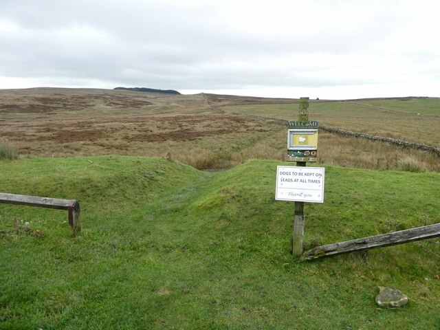
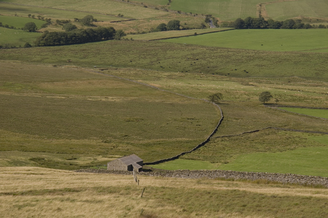
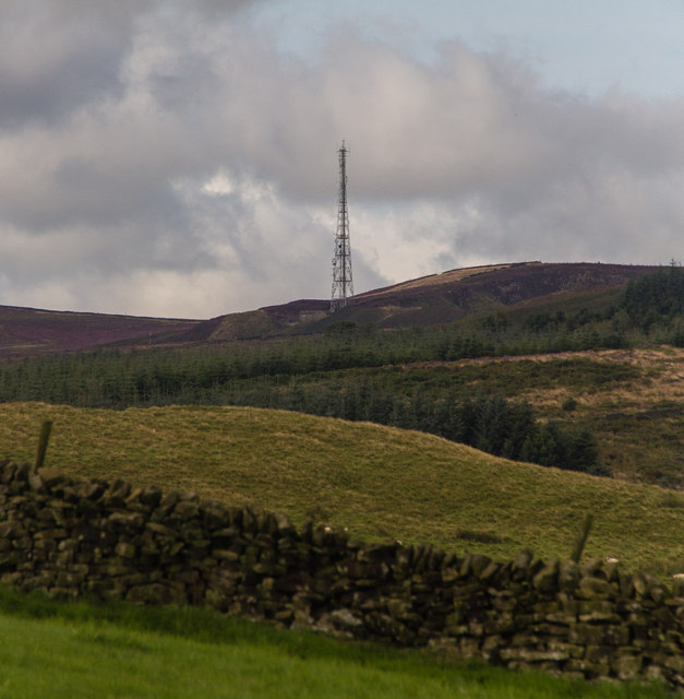
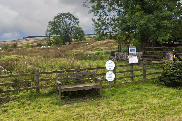
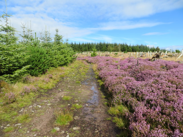
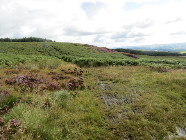
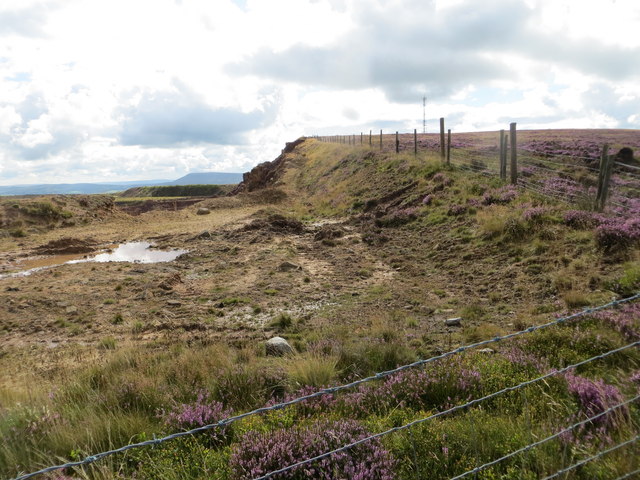
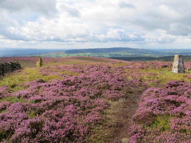
Situated near the village of Slaidburn and within the Forest of Bowland Area of Outstanding Natural Beauty, Easington Fell boasts a diverse and picturesque landscape. The hill is characterized by its rolling slopes, grassy meadows, and patches of heather, creating a patchwork of vibrant colors throughout the seasons.
Easington Fell is a popular destination for outdoor enthusiasts, offering a range of activities such as hiking, walking, and birdwatching. Several well-marked trails traverse the hill, allowing visitors to explore its natural beauty at their own pace. The ascent to the summit is moderately challenging, rewarding climbers with breathtaking views across the Ribble Valley and the Yorkshire Dales National Park.
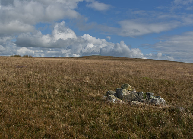
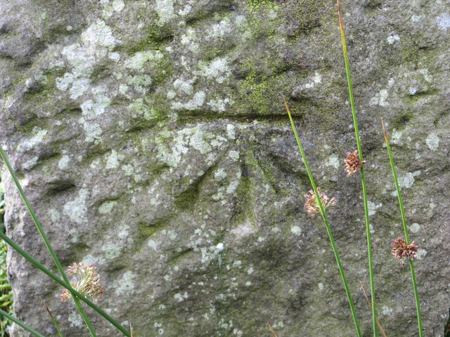
The hill is home to a variety of flora and fauna, including heather, bilberry, and cotton grass, as well as species such as curlews, lapwings, and red grouse. It also holds historical significance, with remnants of ancient settlements and burial mounds found on its slopes, providing a glimpse into the area's past.
Easington Fell offers a tranquil and remote setting, making it an ideal retreat for those seeking solace in nature. Whether it's exploring its trails, capturing breathtaking photographs, or simply enjoying the serenity, this Yorkshire hill is a hidden gem waiting to be discovered.
If you have any feedback on the listing, please let us know in the comments section below.
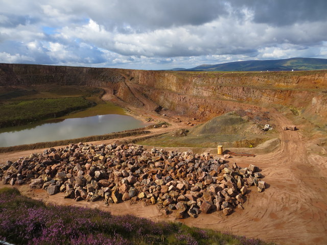
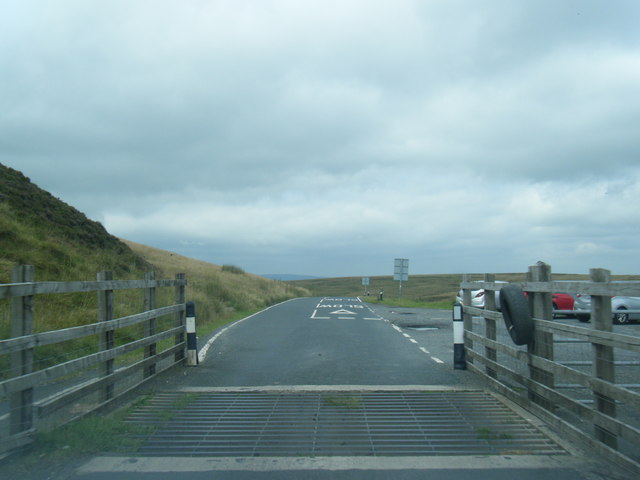
Easington Fell Images
Images are sourced within 2km of 53.933614/-2.4123888 or Grid Reference SD7348. Thanks to Geograph Open Source API. All images are credited.


Easington Fell is located at Grid Ref: SD7348 (Lat: 53.933614, Lng: -2.4123888)
Division: West Riding
Administrative County: Lancashire
District: Ribble Valley
Police Authority: Lancashire
What 3 Words
///older.sapping.hill. Near Waddington, Lancashire
Nearby Locations
Related Wikis

Easington Fell
Easington Fell is a Marilyn in the Forest of Bowland in Lancashire, England. It has been surveyed to be 70 cm higher than a nearby fell of almost identical...

Newton-in-Bowland
Newton or Newton-in-Bowland is a village and civil parish in the Ribble Valley district, in the county of Lancashire, England, formerly known as Newton...

Eaves Hall
Eaves Hall was built in 1864 for John Burton (1809–1879), first son of James Burton and a wealthy cotton mill-owner.Sold by the Burtons in 1938, having...

St Andrew's Church, Slaidburn
St Andrew's Church is in Church Street, Slaidburn, Lancashire, England. It is an active Anglican parish church in the deanery of Bowland, the archdeaconry...

Slaidburn
Slaidburn () is a village and civil parish within the Ribble Valley district of Lancashire, England. The parish covers just over 5,000 acres of the Forest...

King's House, Slaidburn
King's House is a Grade II listed building in Slaidburn, Lancashire, England, now used as a youth hostel. It was originally built in the 18th century,...

Lancashire Witches Walk
The Lancashire Witches Walk is a 51-mile (82 km) long-distance footpath opened in 2012, between Barrowford and Lancaster, all in Lancashire, England. It...

Grindleton
Grindleton is a village and civil parish in the Ribble Valley district of the English county of Lancashire, formerly in the West Riding of Yorkshire. Its...
Nearby Amenities
Located within 500m of 53.933614,-2.4123888Have you been to Easington Fell?
Leave your review of Easington Fell below (or comments, questions and feedback).