Arklow Hill

Hill, Mountain in Westmorland Eden

England

Arklow Hill

The road to Crosby Garrett west of Soulby
The road to Crosby Garrett west of Soulby Credit: Karl and Ali

Arklow Hill is a prominent landmark located in the county of Westmorland, England. Situated in the South Lakeland district, it is part of the larger Lake District National Park. This hill, also known as Arkle Hill, stands at an elevation of approximately 391 meters (1,283 feet) above sea level.

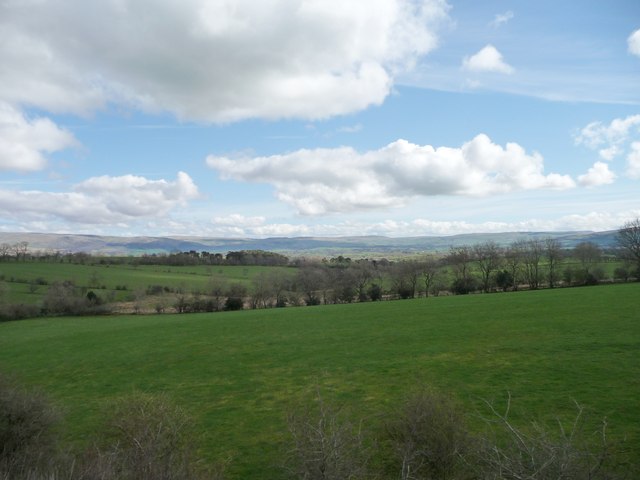
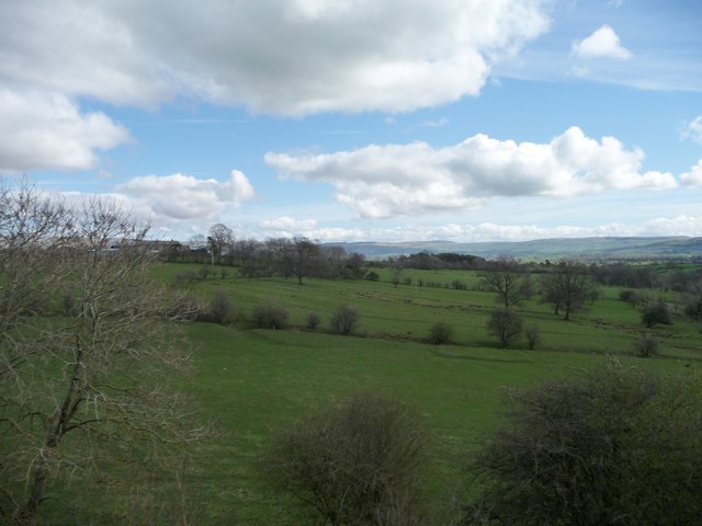
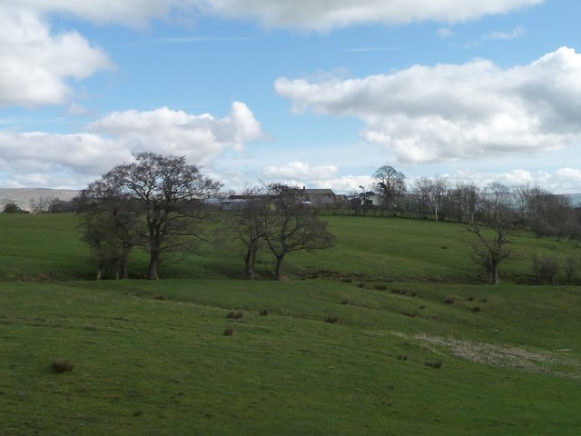
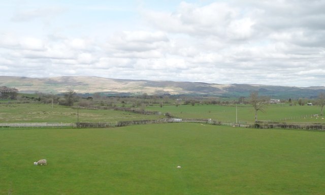
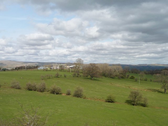
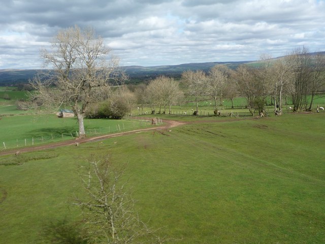
The hill offers stunning panoramic views of the surrounding countryside and is a popular spot for hikers and nature enthusiasts. Its location within the Lake District National Park ensures that visitors are treated to a diverse range of flora and fauna, with picturesque landscapes comprising rolling hills, lush green valleys, and tranquil lakes.

Arklow Hill boasts a relatively gentle ascent, making it accessible to walkers of various abilities. The well-maintained footpaths leading up to the summit provide a comfortable hiking experience, with breathtaking scenery along the way. The summit itself offers a perfect vantage point to admire the beauty of the Lake District, with vistas stretching as far as the eye can see.

Westmorland, the county in which Arklow Hill is situated, is known for its rich history and cultural heritage. The region has been inhabited for centuries and is home to several historic sites and landmarks. Visitors to Arklow Hill can combine their hike with a visit to nearby attractions such as the medieval town of Kendal or the picturesque village of Windermere.

In conclusion, Arklow Hill in Westmorland is a captivating natural landmark that offers visitors an opportunity to immerse themselves in the scenic beauty of the Lake District National Park.

If you have any feedback on the listing, please let us know in the comments section below.
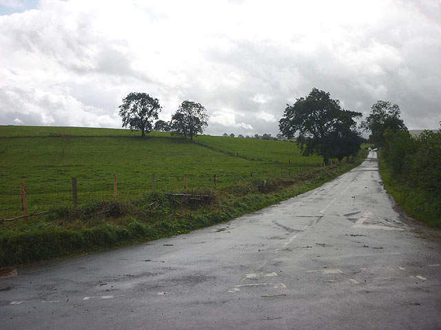
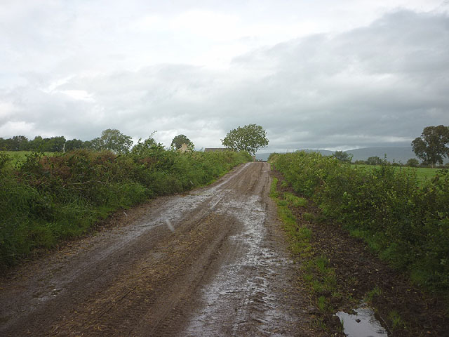
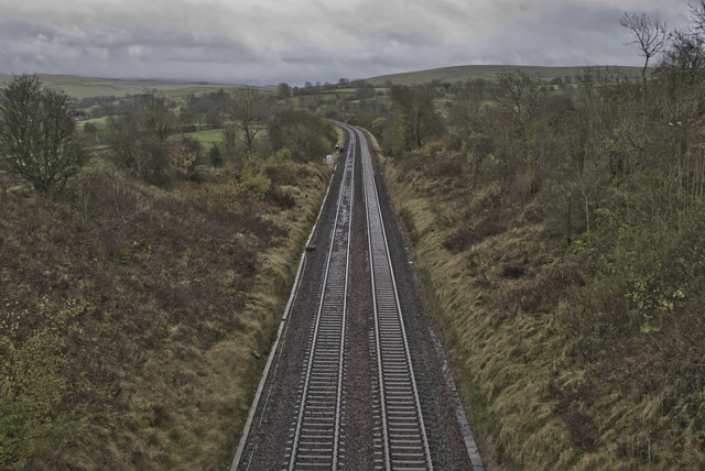
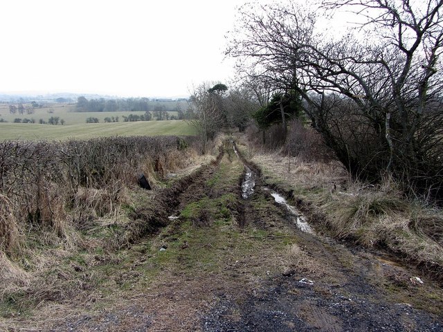
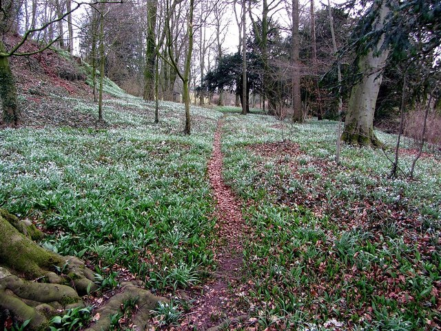
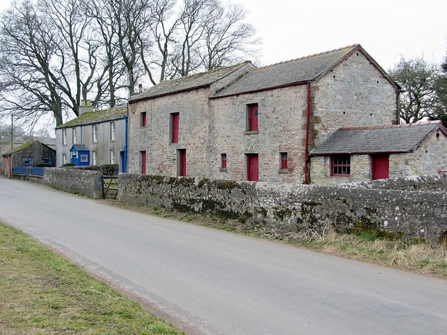
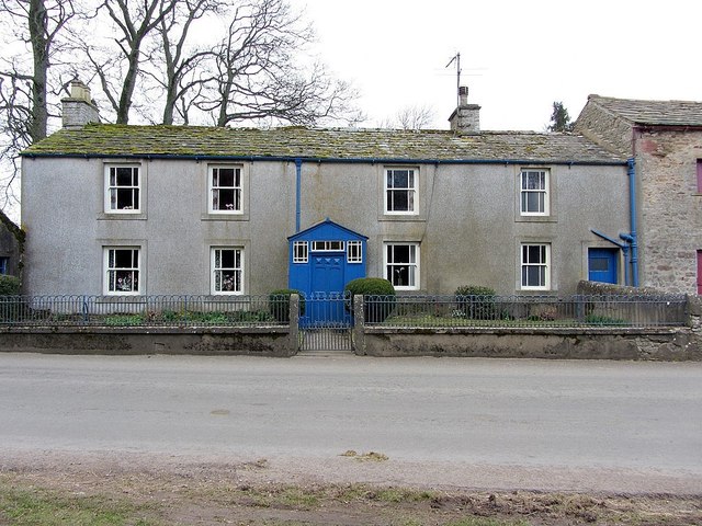
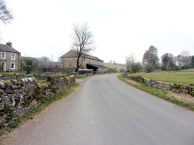
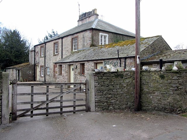
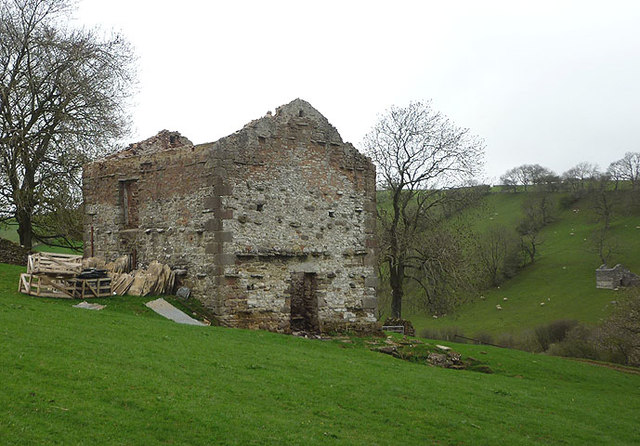
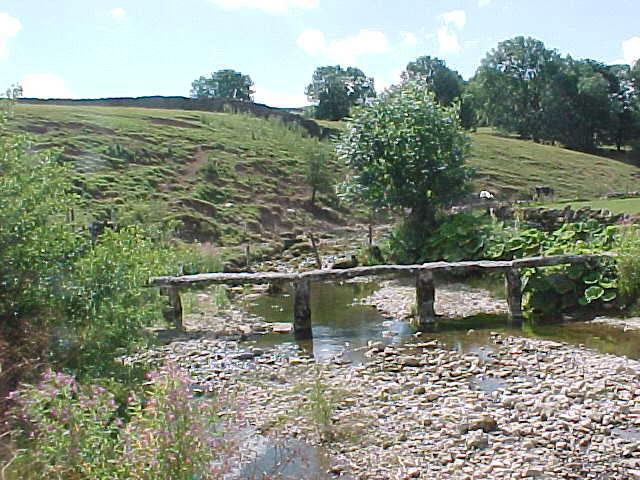
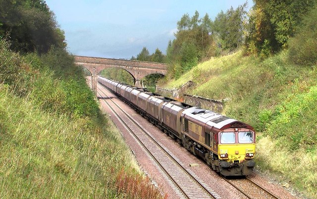
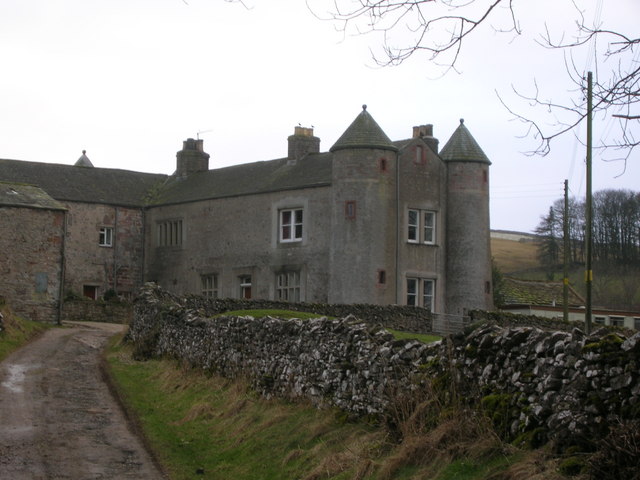
Arklow Hill Images

Images are sourced within 2km of 54.485267/-2.4183406 or Grid Reference NY7210. Thanks to Geograph Open Source API. All images are credited.

The road to Crosby Garrett west of Soulby
The track to Soulby Grange
Settle to Carlisle line near Gallansay
Stockber Lane off Mask Road
Woodland snowdrops, Soulby
Belsey Gate House & outbuildings, Soulby
Belsey Gate House, Soulby
Road at Belsey Gate Farm, Soulby
Hutton Lodge Pottery, Mill Lane, Soulby
Destroyed barn, Potts Valley Three years ago this barn had a roof and looked to be in reasonable condition <a href="https://www.geograph.org.uk/photo/2035131">NY7110 : Track into Potts Valley</a> Now the roof is gone and the flags and slates are being crated up for disposal. One large roof beam was lying nearby but fire (recent judging by the smell and ashes) seems to have destroyed everything else inside. Note the similarly roofless barn on the opposite bank. Just up the track is <a href="https://www.geograph.org.uk/photo/1106163">NY7009 : Potts</a> farmstead, similarly abandoned and decaying.
Destroyed barn, Potts Valley
Three years ago this barn had a roof and looked to be in reasonable condition NY7110 : Track into Potts Valley Now the roof is gone and the flags and slates are being crated up for disposal. One large roof beam was lying nearby but fire (recent judging by the smell and ashes) seems to have destroyed everything else inside. Note the similarly roofless barn on the opposite bank. Just up the track is NY7009 : Potts farmstead, similarly abandoned and decaying.
Field boundary, south side, valley of Wygill Beck Seen from the open window of a northbound train on the Settle Carlisle line.
Field boundary, south side, valley of Wygill Beck
Seen from the open window of a northbound train on the Settle Carlisle line.
Trees along a beck, south-west of Stockbar Seen from the open window of a northbound train on the Settle Carlisle line.
Trees along a beck, south-west of Stockbar
Seen from the open window of a northbound train on the Settle Carlisle line.
Stockbar, Grassgill Seen from the open window of a northbound train on the Settle Carlisle line.
Stockbar, Grassgill
Seen from the open window of a northbound train on the Settle Carlisle line.
Public footpath to Grassgill Bottom Seen from the open window of a southbound train on the Settle Carlisle line.
Public footpath to Grassgill Bottom
Seen from the open window of a southbound train on the Settle Carlisle line.
Farmland south-west of Stockbar Seen from the open window of a southbound train on the Settle Carlisle line.
Farmland south-west of Stockbar
Seen from the open window of a southbound train on the Settle Carlisle line.
Stockbar Farm, from the south-west Seen from the open window of a southbound train on the Settle Carlisle line.
Stockbar Farm, from the south-west
Seen from the open window of a southbound train on the Settle Carlisle line.
Farm track to Gallansay Lane Seen from the open window of a southbound train on the Settle Carlisle line.
Farm track to Gallansay Lane
Seen from the open window of a southbound train on the Settle Carlisle line.
Clapper bridge over Helm Beck
Show me another place!

Arklow Hill is located at Grid Ref: NY7210 (Lat: 54.485267, Lng: -2.4183406)

Administrative County: Cumbria

District: Eden

Police Authority: Cumbria

What 3 Words

///mainland.interests.suave. Near Kirkby Stephen, Cumbria

Nearby Locations

Arklow Hill Knock Hill

Related Wikis

Nearby Amenities

Located within 500m of 54.485267,-2.4183406
Crosby Garrett
Historic Railway: station
Railway: site
Wikidata: Q5188029
Wikipedia: en:Crosby Garrett railway station
Lat/Long: 54.4835284/-2.4251242
Barrier: stile
Material: wood
Source: survey;gps
Stile: stepover
Lat/Long: 54.4827141/-2.422525
Barrier: stile
Material: wood
Source: survey;gps
Stile: stepover
Lat/Long: 54.4828732/-2.4231084
Barrier: stile
Lat/Long: 54.4824462/-2.4218148
Power: pole
Lat/Long: 54.4812013/-2.4211013
Power: pole
Lat/Long: 54.4820846/-2.4215713
Power: pole
Lat/Long: 54.4822387/-2.4222408
Power: pole
Lat/Long: 54.4823769/-2.4228501
Power: pole
Lat/Long: 54.482616/-2.4238929
Power: pole
Lat/Long: 54.4818952/-2.4207261
Power: pole
Lat/Long: 54.4815072/-2.4202907
Power: pole
Lat/Long: 54.4812758/-2.420012
Power: pole
Lat/Long: 54.4816722/-2.4193051
Power: pole
Lat/Long: 54.4820296/-2.4186692
Give Way
Direction: forward
Lat/Long: 54.4810126/-2.4198706
Give Way
Direction: forward
Lat/Long: 54.4814761/-2.4196877
Grit Bin
Lat/Long: 54.4827851/-2.4207807
Information: guidepost
Tourism: information
Lat/Long: 54.4827753/-2.4207989
Give Way
Direction: backward
Lat/Long: 54.4814021/-2.4193646
Man Made: utility_pole
Utility: telecom
Lat/Long: 54.4813479/-2.4195293
Man Made: street_cabinet
Lat/Long: 54.4813624/-2.419506
Grit Bin
Lat/Long: 54.4816194/-2.4183622
Entrance: main
Lat/Long: 54.4820137/-2.4183864
Advertising: board
Operator: St Andrew's Church
Lat/Long: 54.4816974/-2.4180377
Give Way
Direction: backward
Lat/Long: 54.4815073/-2.418791
Power: pole
Lat/Long: 54.4814743/-2.4175494
Power: pole
Lat/Long: 54.4810971/-2.4176483
Grit Bin
Lat/Long: 54.4815149/-2.4186692
Power: pole
Transformer: yes
Lat/Long: 54.4808815/-2.4183437
Power: pole
Lat/Long: 54.4809261/-2.418645
Man Made: utility_pole
Lat/Long: 54.4808883/-2.4198757
Man Made: manhole
Lat/Long: 54.4809672/-2.4198351
The data included in this document is from www.openstreetmap.org. The data is made available under ODbL.

Have you been to Arklow Hill?

Leave your review of Arklow Hill below (or comments, questions and feedback).