Church Hill
Hill, Mountain in Westmorland Eden
England
Church Hill
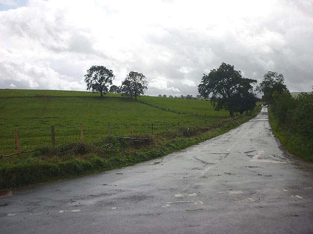
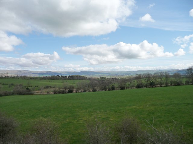
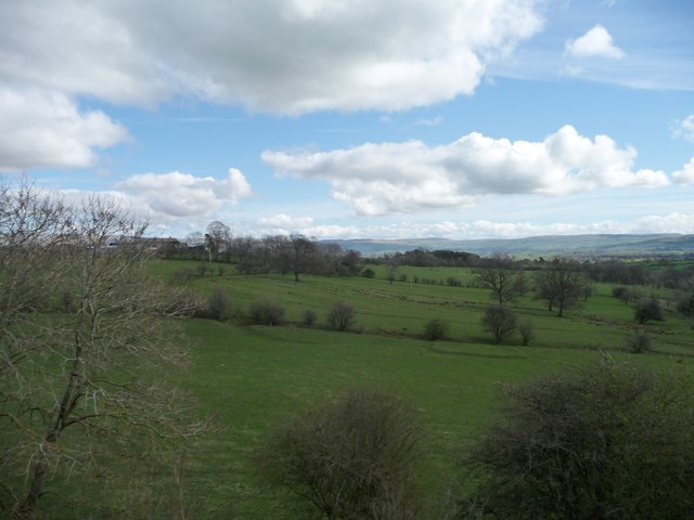
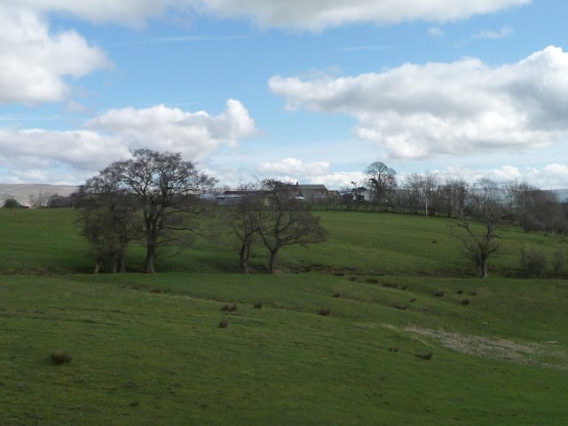
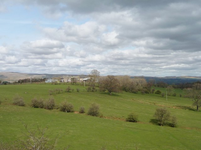
Church Hill is a prominent hill located in the district of Westmorland, England. Rising to an elevation of approximately 250 meters, it is a significant landmark within the region. Situated close to the town of Kendal, Church Hill offers breathtaking views of the surrounding countryside, including the picturesque Lake District National Park.
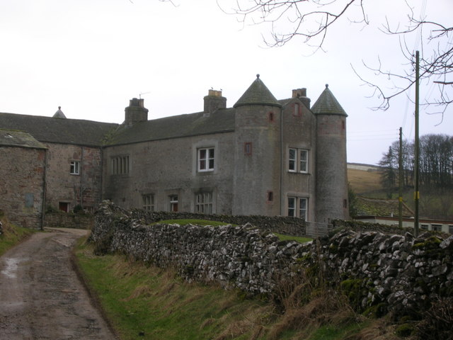
The hill derives its name from the presence of St. John's Church, a historic place of worship that dates back several centuries. The church stands proudly at the summit of Church Hill, adding to its cultural and architectural significance. This vantage point offers visitors an opportunity to appreciate the beauty of the surrounding area, with its rolling hills, lush greenery, and charming rural landscapes.
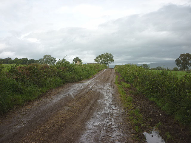
Church Hill is a popular destination for outdoor enthusiasts, offering various walking and hiking trails that cater to all levels of fitness and experience. These trails provide an opportunity to explore the natural wonders of the region, including the abundant flora and fauna that call Church Hill home.
The hill is not only a haven for nature lovers but also a site of historical importance. It has witnessed various events throughout the centuries and has played a role in shaping the local heritage. Visitors can uncover the rich history of the area through guided tours or by simply immersing themselves in the tranquil atmosphere that permeates Church Hill.
Overall, Church Hill in Westmorland is a remarkable destination that combines natural beauty, historical significance, and recreational opportunities. Whether one seeks a peaceful retreat, an adventure in the great outdoors, or a glimpse into the past, Church Hill is sure to captivate and inspire all who visit.
If you have any feedback on the listing, please let us know in the comments section below.
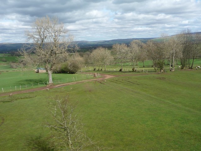
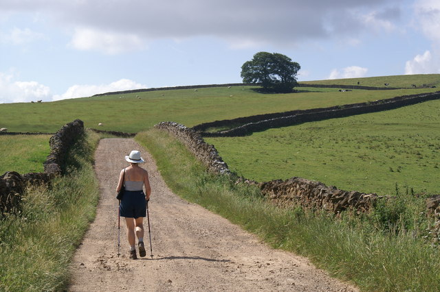
Church Hill Images
Images are sourced within 2km of 54.482005/-2.4183073 or Grid Reference NY7209. Thanks to Geograph Open Source API. All images are credited.


Church Hill is located at Grid Ref: NY7209 (Lat: 54.482005, Lng: -2.4183073)
Administrative County: Cumbria
District: Eden
Police Authority: Cumbria
What 3 Words
///closes.stroke.harnessed. Near Kirkby Stephen, Cumbria
Nearby Locations
Related Wikis

St Andrew's Church, Crosby Garrett
St Andrew's Church is in the village of Crosby Garrett, Cumbria, England. It is an active Anglican parish church in the deanery of Appleby, the archdeaconry...
Crosby Garrett
Crosby Garrett is a hamlet and civil parish in the Eden District of Cumbria, England. It was formerly in the county of Westmorland. In the 2011 census...
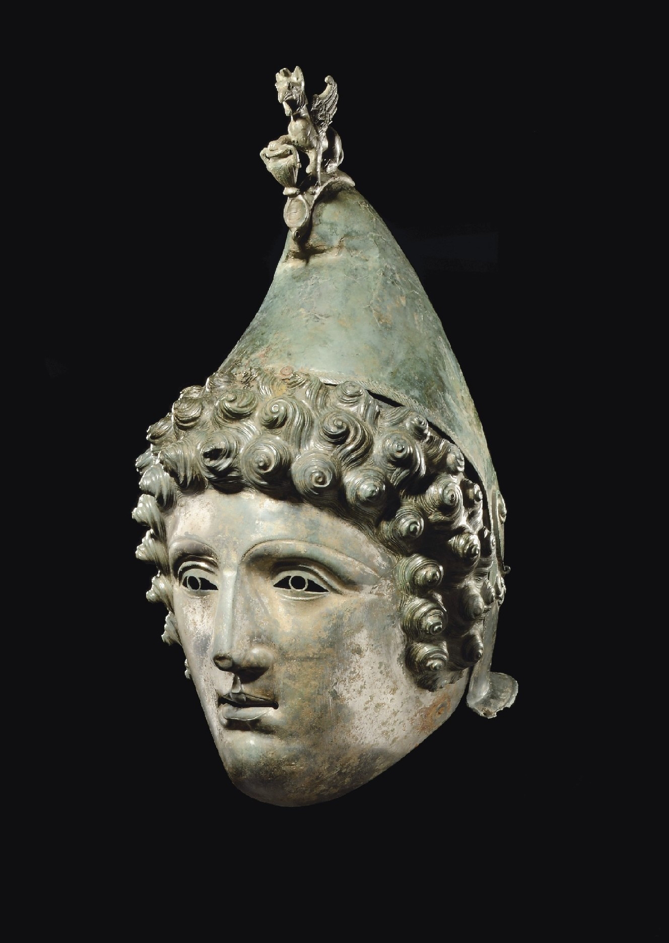
Crosby Garrett Helmet
The Crosby Garrett Helmet is a copper alloy Roman cavalry helmet dating from the late 2nd or early 3rd century AD. It was found by an unnamed metal detectorist...
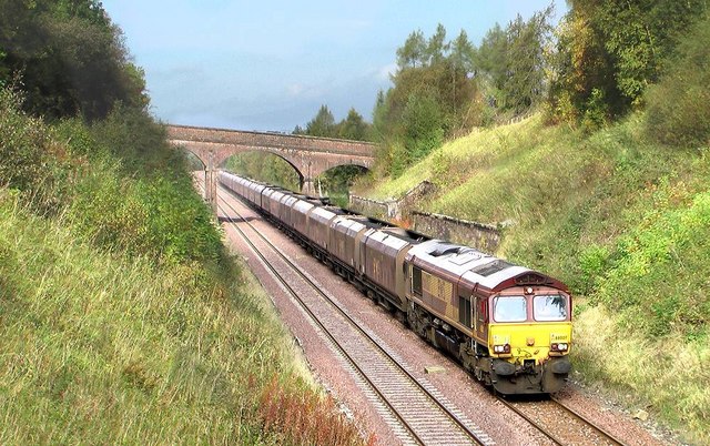
Crosby Garrett railway station
Crosby Garrett was a railway station which served the village of Crosby Garrett in Cumbria, England. It was situated on the Settle-Carlisle Line 38+1⁄4...

Smardale railway station
Smardale railway station was a minor station on the South Durham & Lancashire Union Railway between Tebay and Kirkby Stephen East. It served the villages...
Smardale
Smardale is a small village and former civil parish, now in the parish of Waitby, in the Eden district, in Cumbria, England. In 1891 the parish had a population...

Soulby
Soulby is a village and civil parish in the Eden district of Cumbria, England. The parish had a population of 186 in 2001, increasing slightly to 187 at...
East Westmorland Rural District
East Westmorland was the name of a rural district in the administrative county of Westmorland from 1894 to 1935. The district was created by the Local...
Nearby Amenities
Located within 500m of 54.482005,-2.4183073Have you been to Church Hill?
Leave your review of Church Hill below (or comments, questions and feedback).