Pike Rigg

Hill, Mountain in Northumberland

England

Pike Rigg

Grass gone to seed on Low Bradshaw Hill Low Bradshaw Hill has no real identity of its own, it's merely a named location along a moorland ridge close to a shallow col. The moorland dome in the distance is Ayle Common; it's on the far side of the valley of the Barhaugh Burn.
Grass gone to seed on Low Bradshaw Hill Credit: Trevor Littlewood

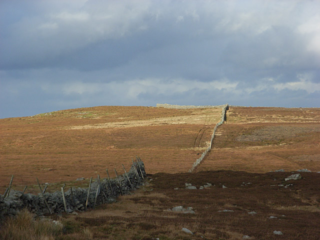
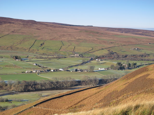
Pike Rigg is a prominent hill located in the county of Northumberland, England. It is part of the North Pennines Area of Outstanding Natural Beauty and stands at an elevation of approximately 1,621 feet (494 meters) above sea level. The hill is situated near the small village of Slaggyford, just a few miles south of the border with Scotland.

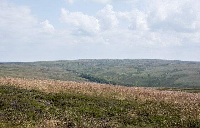
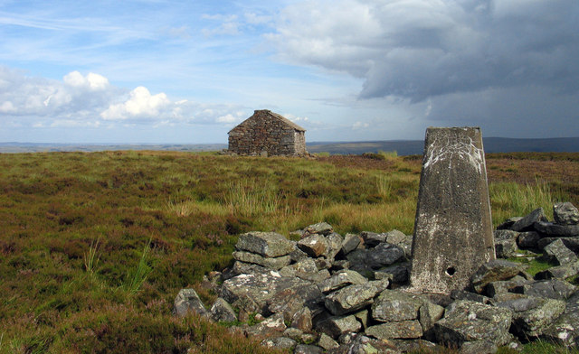
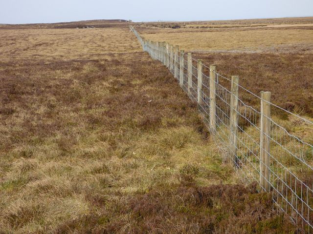
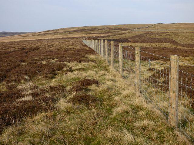
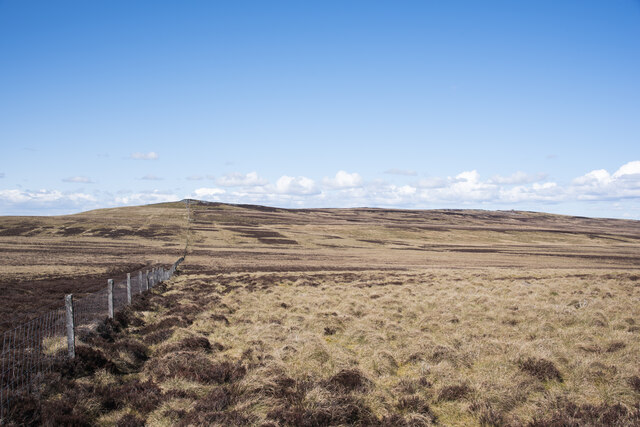
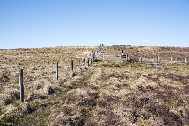
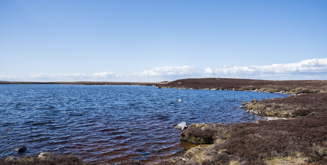
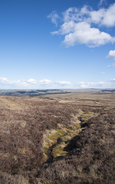
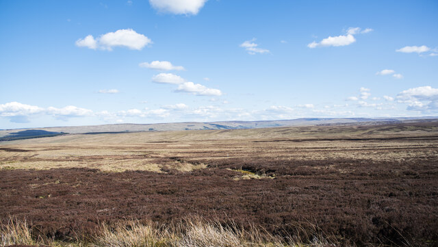
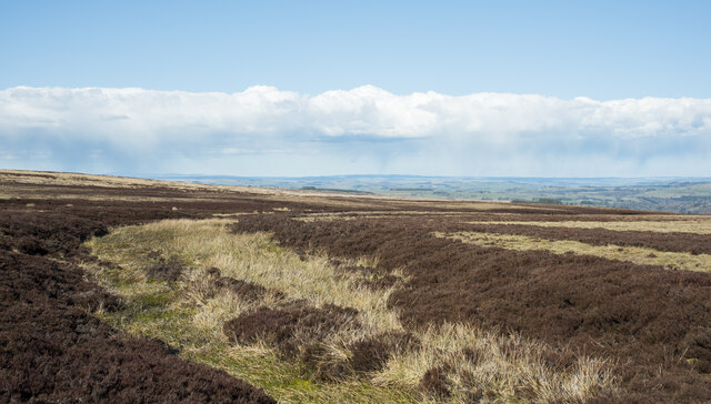
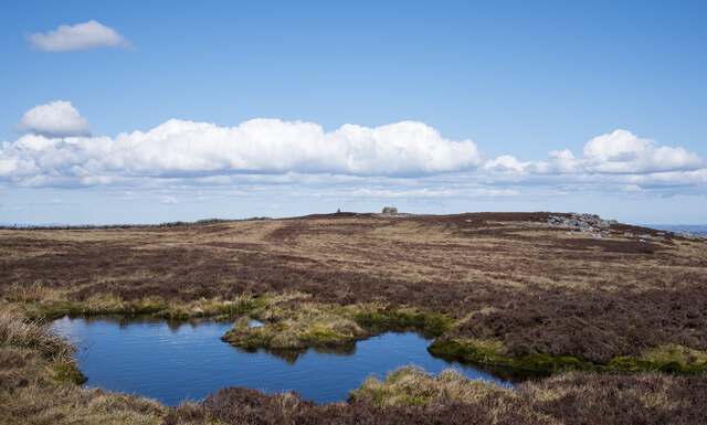
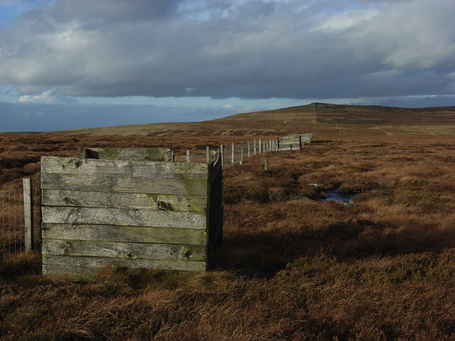
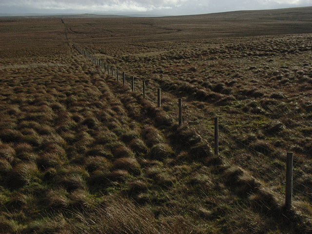
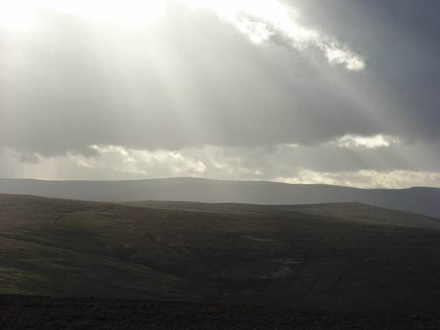
Pike Rigg is characterized by its distinctive rounded summit and gentle slopes, covered in heather and grass. The hill is a popular destination for hikers, offering breathtaking views of the surrounding countryside from its summit. On a clear day, visitors can enjoy panoramic vistas that stretch across the North Pennines, including nearby hills such as Cross Fell and Great Dun Fell.

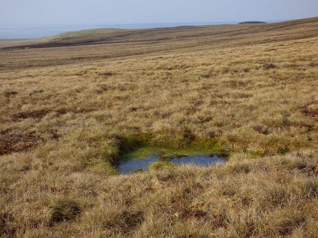
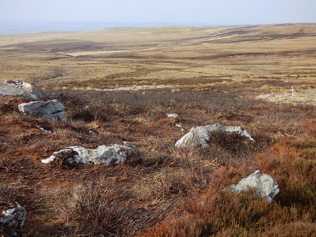
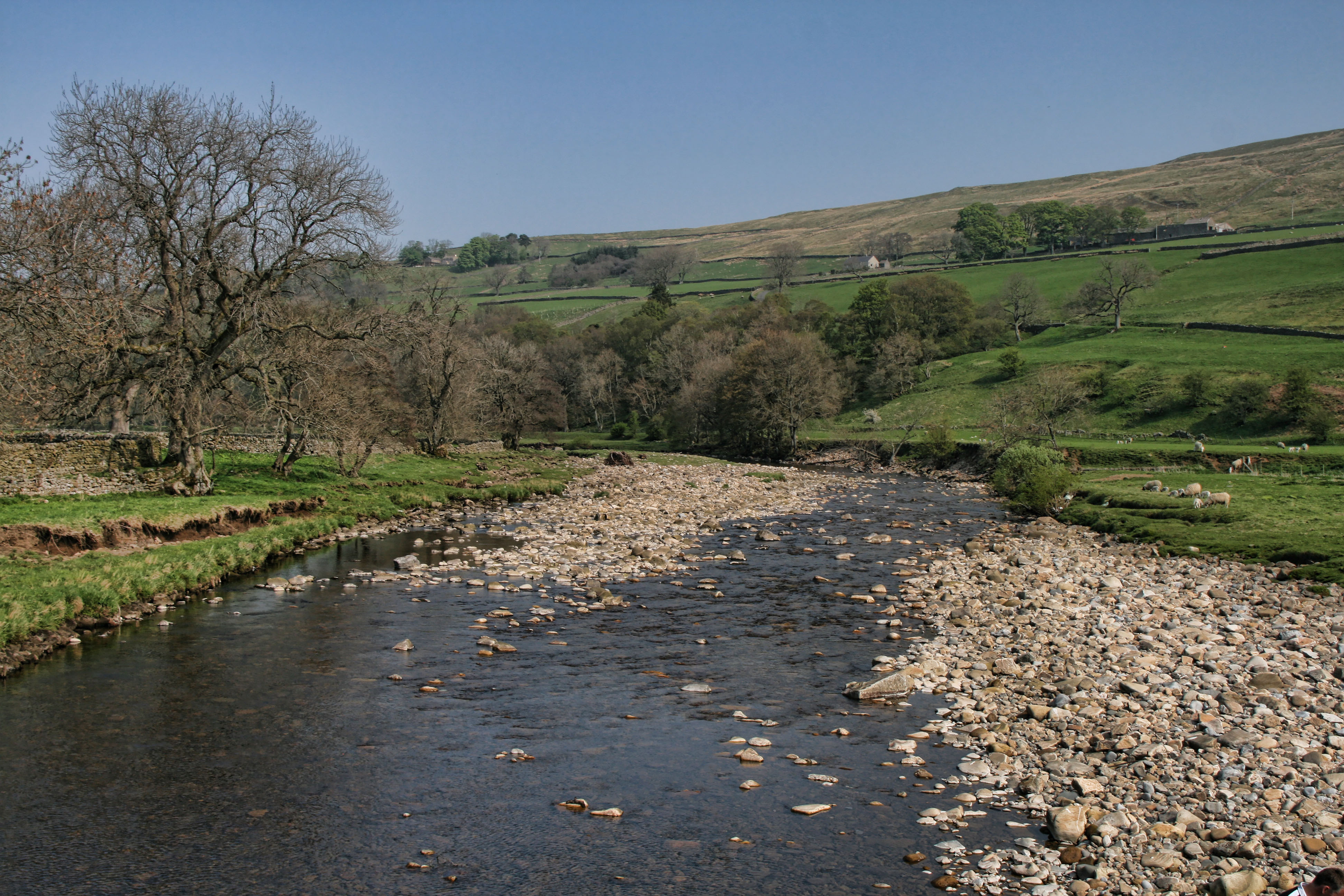
The area around Pike Rigg is rich in natural beauty and wildlife, with several species of birds, mammals, and plants inhabiting the hillside. This makes it an attractive location for nature enthusiasts and birdwatchers, who can spot species such as curlews, lapwings, and meadow pipits.

Pike Rigg is also steeped in history, with evidence of human activity dating back thousands of years. Nearby archaeological sites, such as ancient settlements and burial mounds, provide glimpses into the area's past. Additionally, remnants of old mining activities can be found in the vicinity, serving as a reminder of the region's industrial heritage.

Overall, Pike Rigg offers visitors a chance to immerse themselves in the natural beauty and rich history of Northumberland, making it a must-visit destination for outdoor enthusiasts and history buffs alike.

If you have any feedback on the listing, please let us know in the comments section below.

Pike Rigg Images

Images are sourced within 2km of 54.879527/-2.4225104 or Grid Reference NY7253. Thanks to Geograph Open Source API. All images are credited.

Grass gone to seed on Low Bradshaw Hill Low Bradshaw Hill has no real identity of its own, it's merely a named location along a moorland ridge close to a shallow col. The moorland dome in the distance is Ayle Common; it's on the far side of the valley of the Barhaugh Burn.
Grass gone to seed on Low Bradshaw Hill
Low Bradshaw Hill has no real identity of its own, it's merely a named location along a moorland ridge close to a shallow col. The moorland dome in the distance is Ayle Common; it's on the far side of the valley of the Barhaugh Burn.
Trig point on Pike Rigg Pike Rigg is a minor elongated rise on Whitfield Moor. Stones have been gathered close to the pillar and some have been formed into a 'currick' which is just out of view to the right. The small building in the distance is used as a store for a farmer or shepherd.
Trig point on Pike Rigg
Pike Rigg is a minor elongated rise on Whitfield Moor. Stones have been gathered close to the pillar and some have been formed into a 'currick' which is just out of view to the right. The small building in the distance is used as a store for a farmer or shepherd.
Moorland, Coanwood
Moorland, Coanwood
Moorland, Coanwood
Moorland, Coanwood
Moorland, Coanwood
Moorland, Coanwood
Moorland, Kirkhaugh
Moorland, Kirkhaugh
Moorland slope rising to Pike Rigg Gently rising moorland alongside a boundary fence, north of Willyshaw Rigg.
Moorland slope rising to Pike Rigg
Gently rising moorland alongside a boundary fence, north of Willyshaw Rigg.
Ladder stile for 'recommended footpath' The 'recommended footpath' climbs from the A686 to the south of this location. There's a notice there that asks that walkers use the route. There's hardly a trace of an actual path on the ground as presumably, there are few who wish to climb to Pike Rigg, the hill above. All of the land hereabouts is of course access land in any case!
Ladder stile for 'recommended footpath'
The 'recommended footpath' climbs from the A686 to the south of this location. There's a notice there that asks that walkers use the route. There's hardly a trace of an actual path on the ground as presumably, there are few who wish to climb to Pike Rigg, the hill above. All of the land hereabouts is of course access land in any case!
Whitfield Lough Whitfield Lough is an unusually large sheet of water for the northern Pennines, it lies to the north-west of the minor feature Pike Rigg, in an area of desolate moorland.
Whitfield Lough
Whitfield Lough is an unusually large sheet of water for the northern Pennines, it lies to the north-west of the minor feature Pike Rigg, in an area of desolate moorland.
Stream groove on Mainsrigg Fell Mainsrigg Fell is part of the moorland upland Pike Rigg. The stream head doesn't register on OS mapping but must surely feed into Little Willy's Sike.
West Allendale is in the distance.
Stream groove on Mainsrigg Fell
Mainsrigg Fell is part of the moorland upland Pike Rigg. The stream head doesn't register on OS mapping but must surely feed into Little Willy's Sike. West Allendale is in the distance.
Moorland east of Pike Rigg Pike Rigg is part of Whitfield Moor, here, east of the trig point and hut which are at the high point.
The ridge in the far distance lies between the East and West Allendales.
Moorland east of Pike Rigg
Pike Rigg is part of Whitfield Moor, here, east of the trig point and hut which are at the high point. The ridge in the far distance lies between the East and West Allendales.
Rushes in groove leading to Little Willy's Sike There's water hidden beneath the vegetation in this minor groove; the Sike itself is just a short distance ahead.
Rushes in groove leading to Little Willy's Sike
There's water hidden beneath the vegetation in this minor groove; the Sike itself is just a short distance ahead.
Erosion scar on south side of Carr's Burn The scar shows signs of 'healing' and other similar scars further up the valley have done so.
Erosion scar on south side of Carr's Burn
The scar shows signs of 'healing' and other similar scars further up the valley have done so.
Heather along ridge of Pike Rigg Pike Rigg is a heathery moorland ridge. The highest point is close to the tall cairn in the distance where there's also a trig point. The small building to the right of the cairn is securely locked and acts as a home for pigeons and / or doves, as well no doubt, as having other uses.
Heather along ridge of Pike Rigg
Pike Rigg is a heathery moorland ridge. The highest point is close to the tall cairn in the distance where there's also a trig point. The small building to the right of the cairn is securely locked and acts as a home for pigeons and / or doves, as well no doubt, as having other uses.
Shooting butts, Willyshaw Moss Looking up to Whitfield Law.
Shooting butts, Willyshaw Moss
Looking up to Whitfield Law.
Oakwood Moss A slightly elevated viewpoint was obtained from on top of a stile.
Oakwood Moss
A slightly elevated viewpoint was obtained from on top of a stile.
View from Whitfield Law Looking across Ayle Common, where the cairn on Kip Law can be seen (right of picture).
View from Whitfield Law
Looking across Ayle Common, where the cairn on Kip Law can be seen (right of picture).
Whitfield Law The wall continuing to Pike Rigg.
Whitfield Law
The wall continuing to Pike Rigg.
Show me another place!

Pike Rigg is located at Grid Ref: NY7253 (Lat: 54.879527, Lng: -2.4225104)

Unitary Authority: Northumberland

Police Authority: Northumbria

What 3 Words

///vandalism.spins.body. Near Alston, Cumbria

Related Wikis

Ayle

Ayle is a village in Northumberland, England, situated to the north of Alston. There are six residences in the hamlet. == Governance == Ayle is in the...

Ouston, Ninebanks

Ouston is a small settlement in south west Northumberland, England in the North Pennines Area of Outstanding Natural Beauty 8 miles (13 km) north-east...

Lintley Halt railway station

Lintley Halt is a railway station on the South Tynedale Railway, which runs between Slaggyford and Alston. The station is located about 1+1⁄4 miles (2...
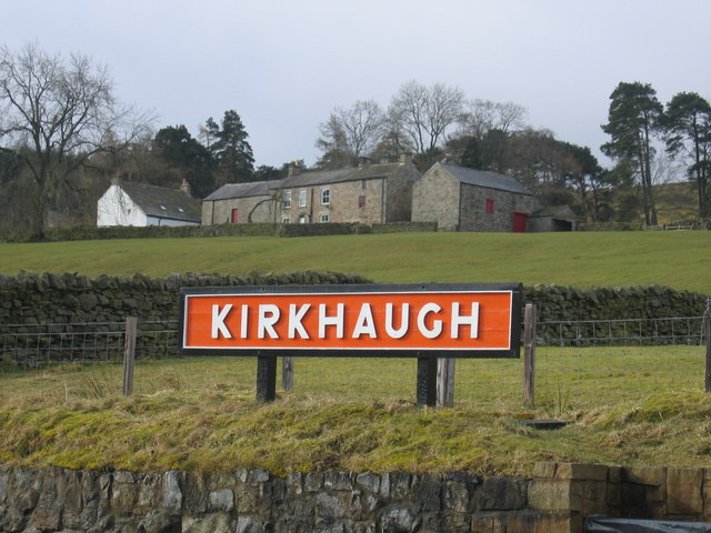
Kirkhaugh

Kirkhaugh is a very small village and former civil parish, now in the parish of Knaresdale with Kirkhaugh, adjacent to the River South Tyne in Northumberland...

Coanwood Friends Meeting House

Coanwood Friends Meeting House is a redundant Quaker meeting house under the care of the Historic Chapels Trust. It stands in an isolated, sparsely populated...

Knarsdale

Knarsdale, historically Knaresdale, is a village and former civil parish, now in the parish of Knaresdale with Kirkhaugh, in Northumberland, England about...

South Tynedale Railway

The South Tynedale Railway is a preserved, 2 ft (610 mm) narrow gauge heritage railway in Northern England and at 875ft is England's second highest narrow...

Kirkhaugh railway station

Kirkhaugh is a railway station on the South Tynedale Railway, which runs between Slaggyford and Alston. The station serves the hamlet of Kirkhaugh in Northumberland...

Nearby Amenities

Located within 500m of 54.879527,-2.4225104
Pike Rigg
Ele: 525
Natural: peak
Wikidata: Q24639086
Lat/Long: 54.8795437/-2.4225319
The data included in this document is from www.openstreetmap.org. The data is made available under ODbL.

Have you been to Pike Rigg?

Leave your review of Pike Rigg below (or comments, questions and feedback).