Knock Hill
Hill, Mountain in Westmorland Eden
England
Knock Hill
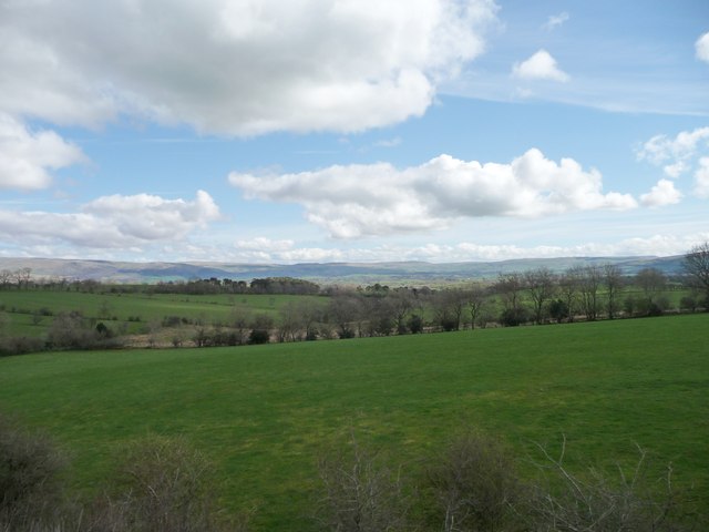
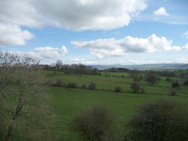
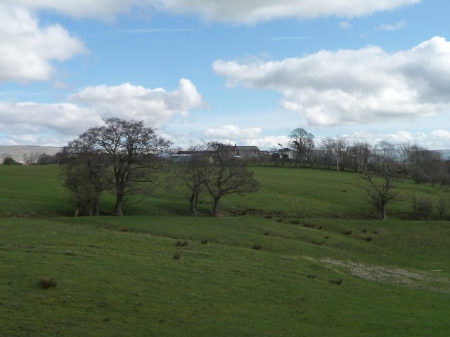
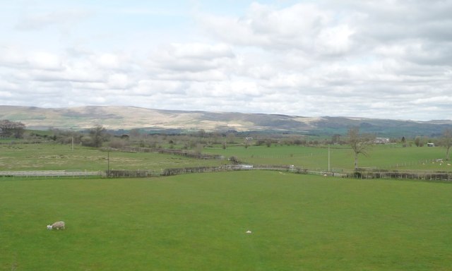
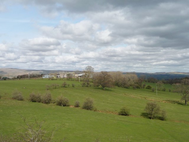
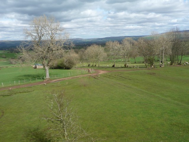
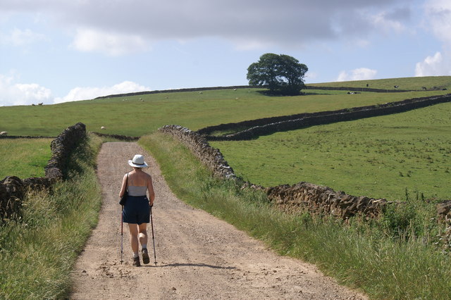
Knock Hill, located in Westmorland, is an impressive hill/mountain that stands at an elevation of approximately 1,665 feet (507 meters) above sea level. Situated in the beautiful Lake District National Park in Cumbria, England, it is a prominent feature of the surrounding landscape and offers breathtaking views to those who venture to its summit.
The hill's name, "Knock," is derived from the Old Norse word "knockr," meaning a "rounded hilltop." This is a fitting description as the mountain boasts a gently sloping profile and a rounded peak, making it easily distinguishable from a distance. Its distinct shape and location make it a popular destination for hikers, climbers, and nature enthusiasts.
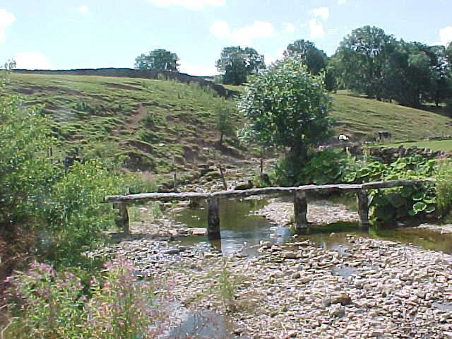
Knock Hill is known for its varied terrain, offering a mix of grassy slopes, rocky outcrops, and heather-covered moorland. The ascent to the summit can be challenging, but the effort is rewarded with panoramic views of the surrounding valleys, rolling hills, and nearby lakes, such as Windermere and Ullswater.
The hill is home to a diverse range of flora and fauna, including several species of birds, such as the buzzard and peregrine falcon, as well as wildflowers and grasses that thrive in the local climate. The area is also rich in history, with traces of ancient settlements and archaeological sites adding to its allure.
With its natural beauty, historical significance, and challenging hiking opportunities, Knock Hill in Westmorland is a must-visit destination for outdoor enthusiasts and those seeking a deeper connection with the stunning landscapes of the Lake District.
If you have any feedback on the listing, please let us know in the comments section below.
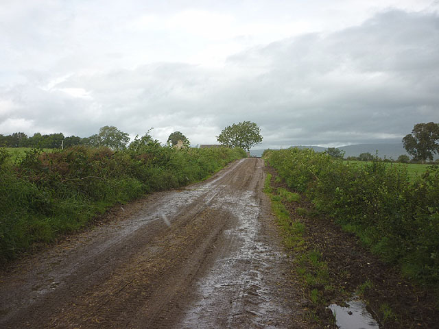
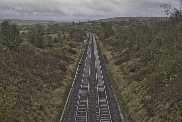
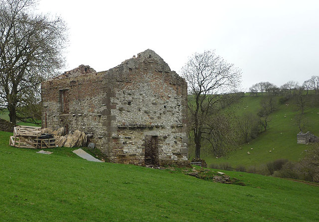
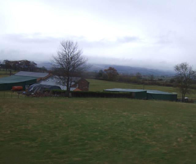
Knock Hill Images
Images are sourced within 2km of 54.484784/-2.4280907 or Grid Reference NY7210. Thanks to Geograph Open Source API. All images are credited.


Knock Hill is located at Grid Ref: NY7210 (Lat: 54.484784, Lng: -2.4280907)
Administrative County: Cumbria
District: Eden
Police Authority: Cumbria
What 3 Words
///lessening.diamond.generated. Near Kirkby Stephen, Cumbria
Nearby Locations
Related Wikis
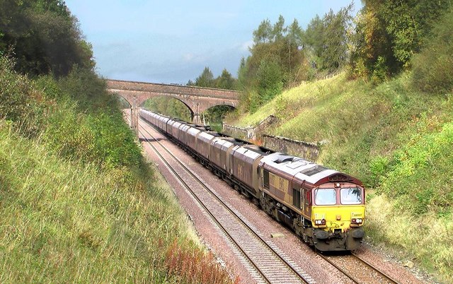
Crosby Garrett railway station
Crosby Garrett was a railway station which served the village of Crosby Garrett in Cumbria, England. It was situated on the Settle-Carlisle Line 38+1⁄4...

St Andrew's Church, Crosby Garrett
St Andrew's Church is in the village of Crosby Garrett, Cumbria, England. It is an active Anglican parish church in the deanery of Appleby, the archdeaconry...
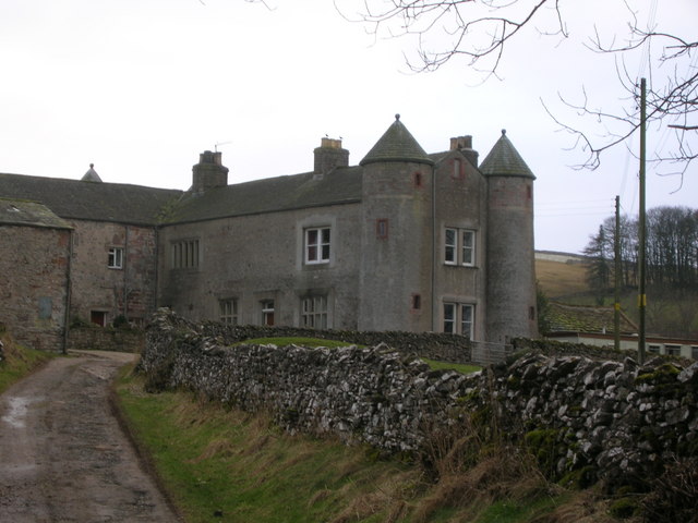
Crosby Garrett
Crosby Garrett is a hamlet and civil parish in the Eden District of Cumbria, England. It was formerly in the county of Westmorland. In the 2011 census...
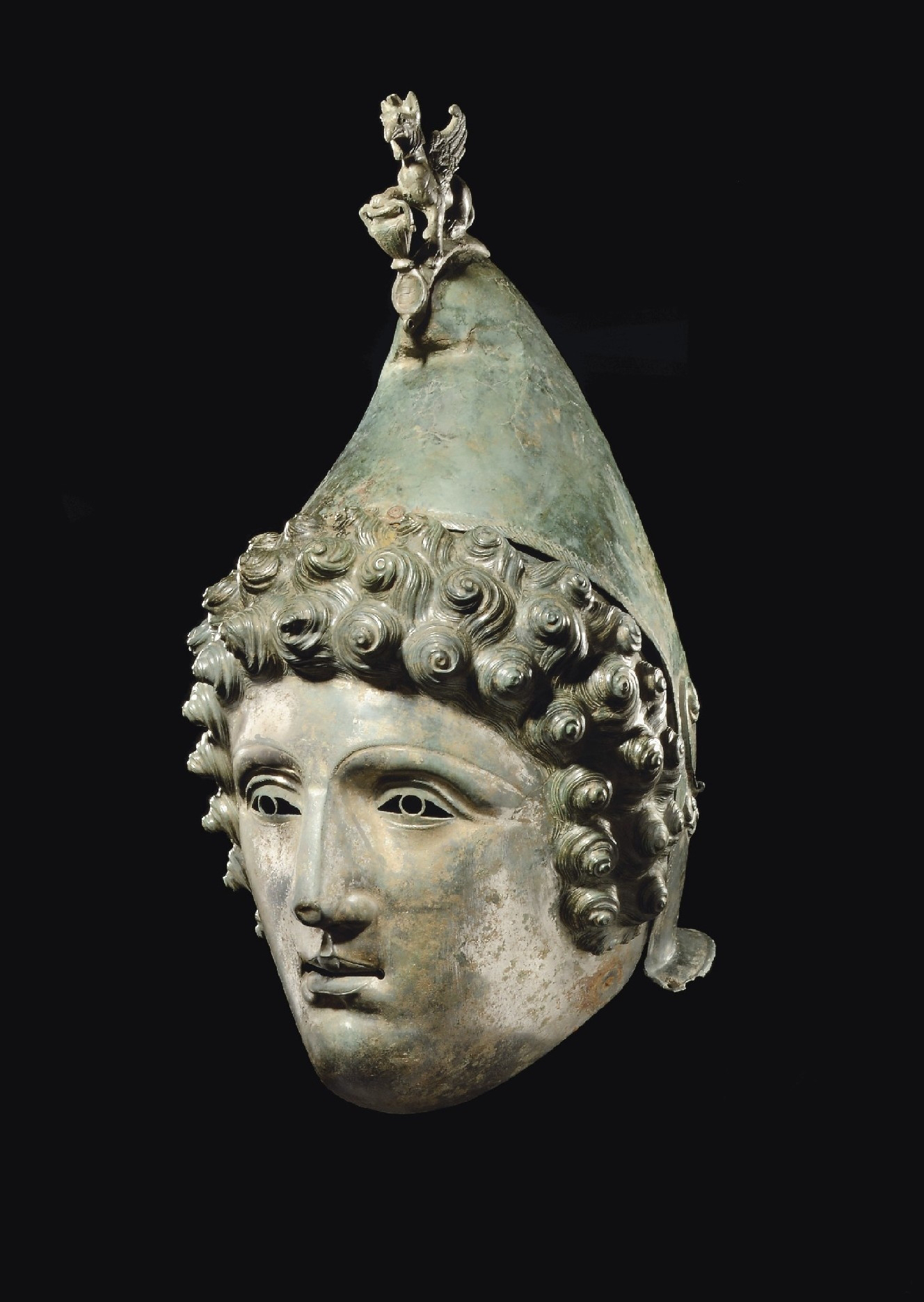
Crosby Garrett Helmet
The Crosby Garrett Helmet is a copper alloy Roman cavalry helmet dating from the late 2nd or early 3rd century AD. It was found by an unnamed metal detectorist...

Smardale railway station
Smardale railway station was a minor station on the South Durham & Lancashire Union Railway between Tebay and Kirkby Stephen East. It served the villages...
Smardale
Smardale is a small village and former civil parish, now in the parish of Waitby, in the Eden district, in Cumbria, England. In 1891 the parish had a population...
East Westmorland Rural District
East Westmorland was the name of a rural district in the administrative county of Westmorland from 1894 to 1935. The district was created by the Local...

Little Asby
Little Asby is a small village in Cumbria, England. Historically part of Westmorland, its name is said to be derived from the Norse words askr, meaning...
Nearby Amenities
Located within 500m of 54.484784,-2.4280907Have you been to Knock Hill?
Leave your review of Knock Hill below (or comments, questions and feedback).