Red Hill
Hill, Mountain in Shropshire
England
Red Hill
Red Hill is a prominent hill located in the county of Shropshire, England. Standing at an elevation of approximately 269 meters (883 feet), it offers breathtaking views of the surrounding countryside. The hill is situated near the village of Albrighton, in close proximity to the Shropshire Hills Area of Outstanding Natural Beauty.
Red Hill derives its name from the distinctive reddish hue of the soil found within its vicinity, which is a result of the iron-rich geological composition of the area. This characteristic coloration adds to the hill's visual appeal and contributes to its unique charm.
The hill itself is covered in a variety of vegetation, including grassland and shrubs, with scattered trees dotting the landscape. This diverse flora provides habitats for a wide range of wildlife, and visitors often spot various bird species and small mammals during their explorations.
Red Hill is a popular destination for outdoor enthusiasts, hikers, and nature lovers alike. It offers several walking trails that cater to different levels of difficulty, allowing visitors to explore the hill and its surrounding areas at their own pace. The summit of Red Hill provides an excellent vantage point, offering panoramic views of the countryside and nearby landmarks.
Due to its accessibility and natural beauty, Red Hill attracts visitors throughout the year. Its tranquil surroundings and picturesque vistas make it an ideal spot for relaxation, picnicking, and photography. Whether one seeks solitude, adventure, or simply a peaceful escape from the bustling city, Red Hill in Shropshire is a destination that promises to captivate and rejuvenate all who visit.
If you have any feedback on the listing, please let us know in the comments section below.
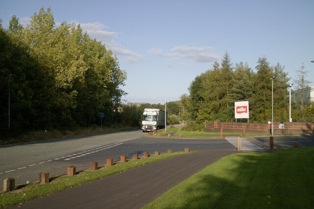
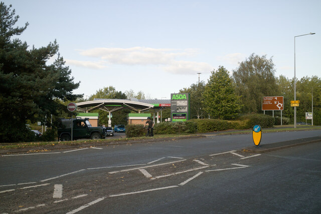
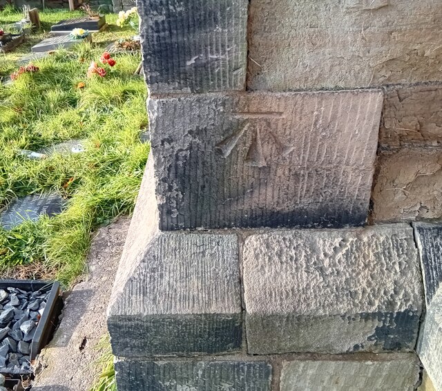
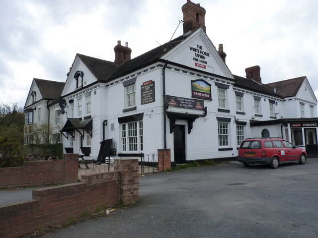
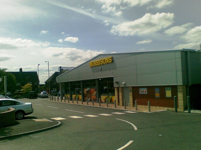
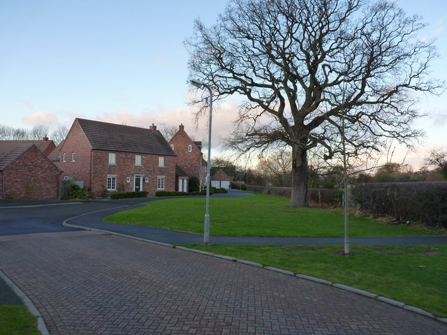
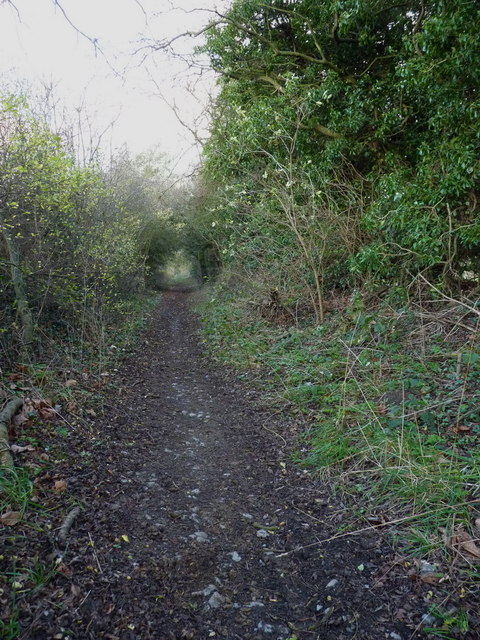
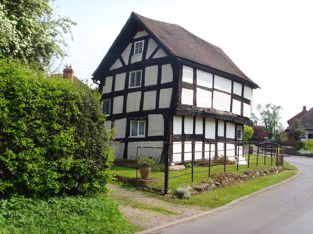
Red Hill Images
Images are sourced within 2km of 52.705826/-2.4166373 or Grid Reference SJ7112. Thanks to Geograph Open Source API. All images are credited.


Red Hill is located at Grid Ref: SJ7112 (Lat: 52.705826, Lng: -2.4166373)
Unitary Authority: Telford and Wrekin
Police Authority: West Mercia
What 3 Words
///rejoiced.caressing.glove. Near Oakengates, Shropshire
Nearby Locations
Related Wikis

Granville Country Park
Granville Country Park is a local nature reserve near Telford in Shropshire, England. It is owned by Telford and Wrekin Council, who work in partnership...

Uxacona
Uxacona was a Romano-British settlement located at Redhill near present-day Telford, Shropshire. The settlement lies at the highest point of the Roman...
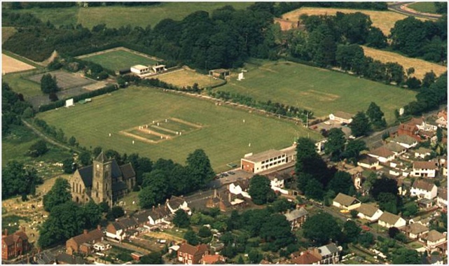
St George's Cricket Ground
St George's Cricket Ground is a cricket ground in Telford, Shropshire. The first recorded match on the ground was in 1957, when Shropshire played the...
Muxton
Muxton is a village between Lilleshall and Donnington in Shropshire, England. It now forms part of the new town of Telford, situated on the town's very...
Nearby Amenities
Located within 500m of 52.705826,-2.4166373Have you been to Red Hill?
Leave your review of Red Hill below (or comments, questions and feedback).