Granville Country Park
Downs, Moorland in Shropshire
England
Granville Country Park
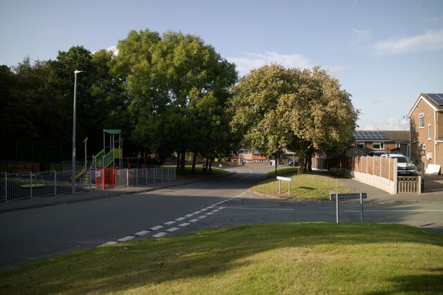
Granville Country Park is a picturesque nature reserve located in Shropshire, England. Situated on the Downs and Moorland, the park spans over a vast area of stunning natural beauty. With its rolling hills, expansive meadows, and serene forests, it offers visitors a tranquil escape from the hustle and bustle of city life.
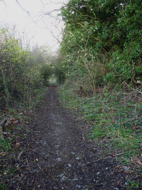
The park boasts an impressive array of flora and fauna, making it a haven for nature enthusiasts and wildlife lovers. Visitors can explore the numerous walking trails that meander through the park, offering breathtaking views at every turn. The meadows are adorned with vibrant wildflowers, while the forests are home to a variety of tree species, including oak, beech, and birch.
Granville Country Park is also a haven for wildlife, with an abundance of species calling it home. Birdwatchers will delight in spotting a wide range of birds, including kestrels, buzzards, and woodpeckers. The park is also home to mammals such as deer, foxes, and rabbits, adding to the diversity of its ecosystem.
In addition to its natural beauty, Granville Country Park offers a host of recreational activities for visitors to enjoy. There are picnic areas where families can relax and unwind, as well as designated areas for cycling and horse riding. The park also features a visitor center, providing information about the park's history, wildlife, and conservation efforts.
Overall, Granville Country Park is a true gem in the heart of Shropshire. Its idyllic landscapes, rich biodiversity, and range of activities make it a must-visit destination for nature lovers and outdoor enthusiasts alike.
If you have any feedback on the listing, please let us know in the comments section below.
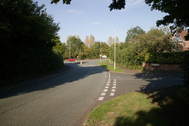
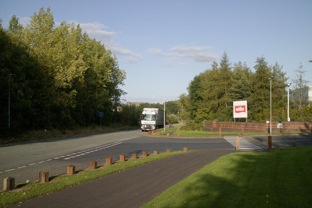
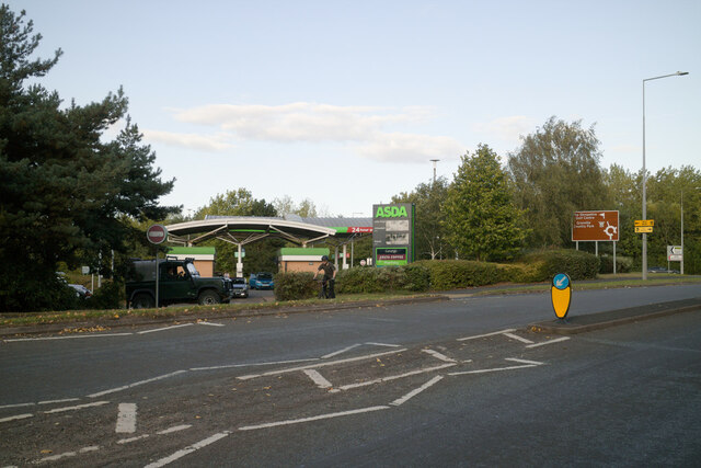
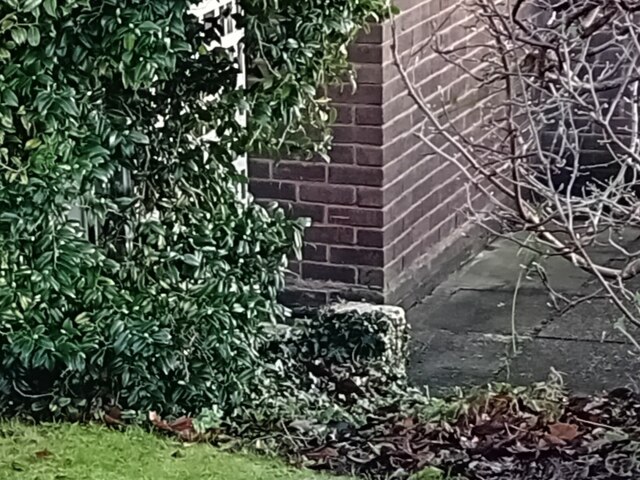
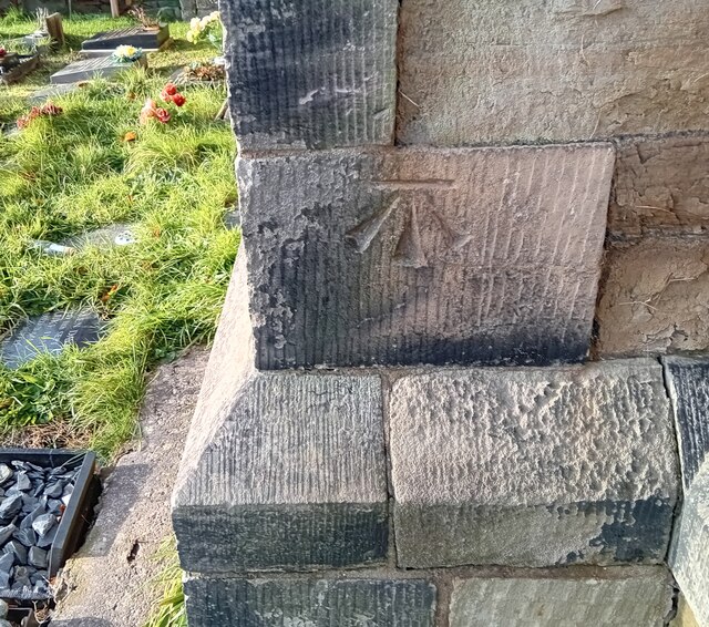
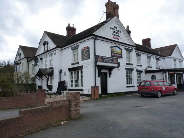
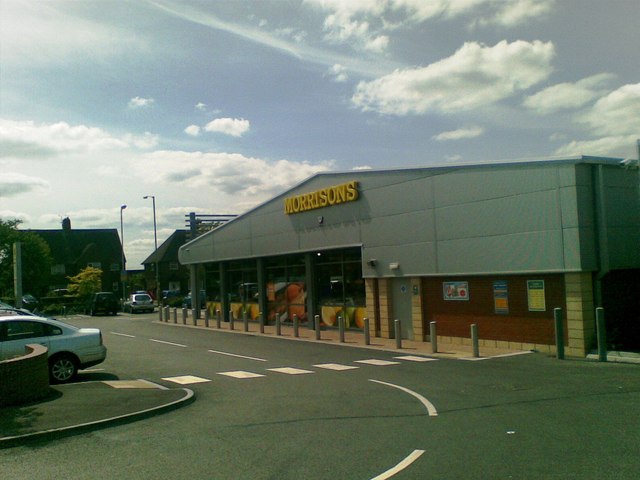
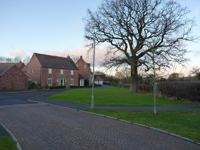
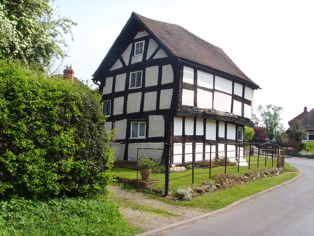
Granville Country Park Images
Images are sourced within 2km of 52.70537/-2.4183793 or Grid Reference SJ7112. Thanks to Geograph Open Source API. All images are credited.


Granville Country Park is located at Grid Ref: SJ7112 (Lat: 52.70537, Lng: -2.4183793)
Unitary Authority: Telford and Wrekin
Police Authority: West Mercia
What 3 Words
///resists.lamppost.outsiders. Near Oakengates, Shropshire
Nearby Locations
Related Wikis

Granville Country Park
Granville Country Park is a local nature reserve near Telford in Shropshire, England. It is owned by Telford and Wrekin Council, who work in partnership...

Uxacona
Uxacona was a Romano-British settlement located at Redhill near present-day Telford, Shropshire. The settlement lies at the highest point of the Roman...
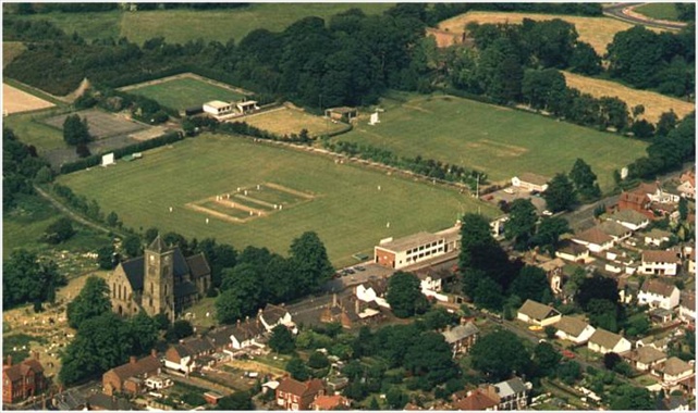
St George's Cricket Ground
St George's Cricket Ground is a cricket ground in Telford, Shropshire. The first recorded match on the ground was in 1957, when Shropshire played the...

Donnington, Telford
Donnington is an area / housing estate located in the borough of Telford and Wrekin and ceremonial county of Shropshire, England. The population of Donnington...
Muxton
Muxton is a village between Lilleshall and Donnington in Shropshire, England. It now forms part of the new town of Telford, situated on the town's very...

St George's and Priorslee
St George's and Priorslee is a civil parish in the borough of Telford and Wrekin, Shropshire, England. St. George's and Priorslee are suburbs of Telford...

Wrockwardine Wood
Wrockwardine Wood (pronounced "Rock-war-dine") was originally a detached piece of woodland, then a township, formerly belonging to the manor and parish...
Telford Priory School
Telford Priory School is a coeducational secondary school located in the Wrockwardine Wood area of Telford in Shropshire, England. The school opened in...
Nearby Amenities
Located within 500m of 52.70537,-2.4183793Have you been to Granville Country Park?
Leave your review of Granville Country Park below (or comments, questions and feedback).