Bapley Hill

Hill, Mountain in Northumberland

England

Bapley Hill

Cleared plantation around Whaup Sike A large cleared area of plantation in Wark Forest.
Cleared plantation around Whaup Sike Credit: Graham Robson

Bapley Hill is a prominent hill located in the county of Northumberland, England. Situated in the northern part of the county, near the border with Scotland, it is part of the stunning Northumberland National Park. The hill rises to an elevation of approximately 400 meters (1312 feet) above sea level, making it one of the higher points in the region.

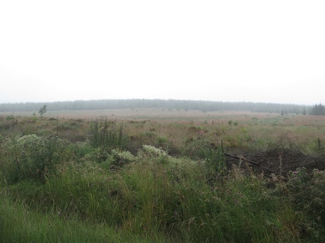
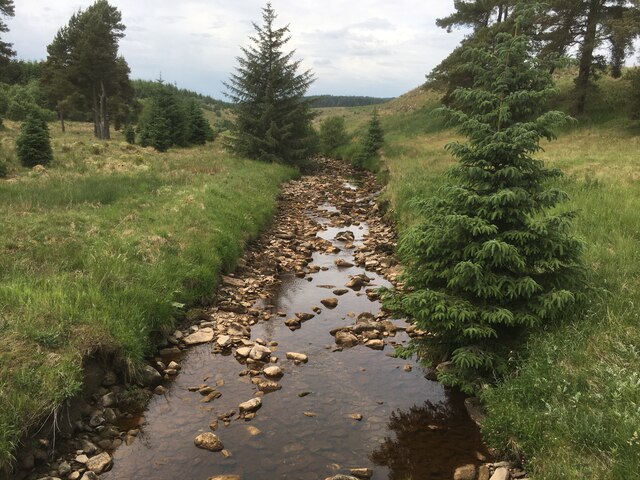
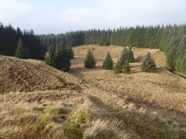
Bapley Hill is characterized by its rolling, grassy slopes and rugged terrain, which provide stunning panoramic views of the surrounding countryside. From its summit, visitors can enjoy breathtaking vistas of the Cheviot Hills to the west, the Scottish Borders to the north, and the picturesque valleys and moorlands of Northumberland to the south and east.

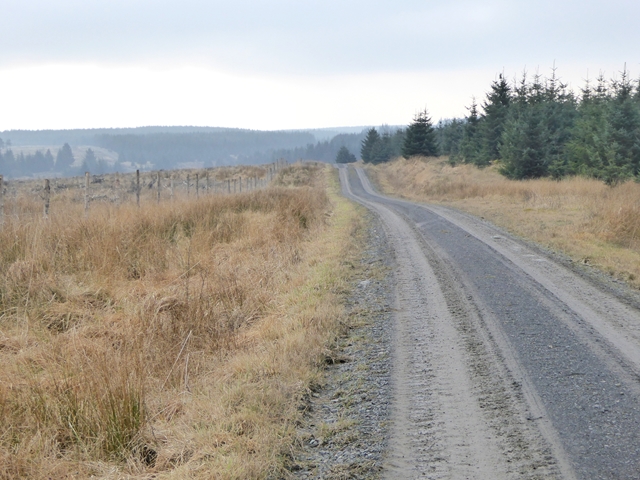
The hill is a popular destination for outdoor enthusiasts, including hikers, walkers, and nature lovers. Several well-marked trails and footpaths traverse its slopes, offering opportunities for exploration and discovery. The area is rich in wildlife, with a variety of bird species, including curlews, lapwings, and skylarks, often spotted in the vicinity.

The hill is also steeped in history, with evidence of human habitation dating back thousands of years. Archaeological remains, including ancient settlements and burial sites, have been discovered in the vicinity, adding to the hill's allure.

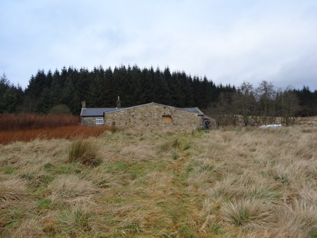
Bapley Hill is easily accessible by road, with a parking area located at its base. The surrounding area also offers a range of amenities, including accommodation options, cafes, and visitor centers, making it a perfect destination for those seeking to explore the natural beauty and rich heritage of Northumberland.

If you have any feedback on the listing, please let us know in the comments section below.
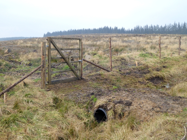
Bapley Hill Images

Images are sourced within 2km of 55.121873/-2.4412167 or Grid Reference NY7180. Thanks to Geograph Open Source API. All images are credited.

Cleared plantation around Whaup Sike A large cleared area of plantation in Wark Forest.
Cleared plantation around Whaup Sike
A large cleared area of plantation in Wark Forest.
Chirdon Burn
Chirdon Burn
Forestry road near Chirdonhead
Forest Track above Chirdon Head
Forest Track and Ride
Rowantree Cleugh
Rowantree Cleugh
Chirdon Head Outdoor Centre On a previous visit in August 2008 we wondered if this was an outdoor centre but couldn't find any information about.  Since then a large extension has been built but not quite finished.  It belongs to the Cramlington Volunteer Youth Project.
<span class="nowrap"><a title="http://cvyp-ltd.com/activities/289/chirdon-head-ooutdoor-centre-retreat/" rel="nofollow ugc noopener" href="http://cvyp-ltd.com/activities/289/chirdon-head-ooutdoor-centre-retreat/">Link</a><img style="margin-left:2px;" alt="External link" title="External link - shift click to open in new window" src="https://s1.geograph.org.uk/img/external.png" width="10" height="10"/></span>
Chirdon Head Outdoor Centre
On a previous visit in August 2008 we wondered if this was an outdoor centre but couldn't find any information about. Since then a large extension has been built but not quite finished. It belongs to the Cramlington Volunteer Youth Project. LinkExternal link
Forest road in Kielder Forest Heading south towards Irish Bridge. The enclosure on the left is presumably a new plantation protected by fence from the depredations of deer.
Forest road in Kielder Forest
Heading south towards Irish Bridge. The enclosure on the left is presumably a new plantation protected by fence from the depredations of deer.
Gate into young plantation A rather curious sloping gate admits the footpath to Chirdon Head into a young plantation.
Gate into young plantation
A rather curious sloping gate admits the footpath to Chirdon Head into a young plantation.
Gate into young plantation The enclosure  is presumably a new plantation protected by fence from the depredations of deer.
Gate into young plantation
The enclosure is presumably a new plantation protected by fence from the depredations of deer.
Little-used forest road At Allerybank in Kielder Forest.
Little-used forest road
At Allerybank in Kielder Forest.
Waymark for the Alternative Pennine Way The marker indicates a public footpath, and also the logo of the Alternative Pennine Way. The APW is a strictly unofficial long distance walk from Ashbourne to Jedburgh, the subject of a Cicerone Guide published in 1992. It avoids much of the higher, boggier parts of the Pennine Way proper, but is little known and little walked. This and the one seen in <a href="https://www.geograph.org.uk/photo/5248386">NY7273 : Waymark in Wark Forest</a> are the only waymarks for the APW that I have ever seen.
Waymark for the Alternative Pennine Way
The marker indicates a public footpath, and also the logo of the Alternative Pennine Way. The APW is a strictly unofficial long distance walk from Ashbourne to Jedburgh, the subject of a Cicerone Guide published in 1992. It avoids much of the higher, boggier parts of the Pennine Way proper, but is little known and little walked. This and the one seen in NY7273 : Waymark in Wark Forest are the only waymarks for the APW that I have ever seen.
The Clint Burn In Kielder Forest; a tributary of the Chirdon Burn.
The Clint Burn
In Kielder Forest; a tributary of the Chirdon Burn.
Footpath approaching the Clint Burn The waymark indicates the otherwise ill-defined route of the footpath from Allerybank to Irish Bridge.
Footpath approaching the Clint Burn
The waymark indicates the otherwise ill-defined route of the footpath from Allerybank to Irish Bridge.
Chirdon Burn Looking upstream. Compare with the view <a href="https://www.geograph.org.uk/photo/967196">NY7381 : Chirdon Burn, looking upstream</a> taken in 2008. The stand of timber  to the right has been largely felled.
Chirdon Burn
Looking upstream. Compare with the view NY7381 : Chirdon Burn, looking upstream taken in 2008. The stand of timber to the right has been largely felled.
Forest road junction at Hans Hill The Chirdon Burn flows in the dip beyond.
Forest road junction at Hans Hill
The Chirdon Burn flows in the dip beyond.
Cage and water tank near Farewell Hill The function of the cage is not obvious. The water tank is fed from the very limited catchment which is the roof of the cage.
Cage and water tank near Farewell Hill
The function of the cage is not obvious. The water tank is fed from the very limited catchment which is the roof of the cage.
Little-used forest track in Kielder Forest Near Farewell Hill.
Little-used forest track in Kielder Forest
Near Farewell Hill.
Show me another place!

Bapley Hill is located at Grid Ref: NY7180 (Lat: 55.121873, Lng: -2.4412167)

Unitary Authority: Northumberland

Police Authority: Northumbria

What 3 Words

///herbs.zealous.chosen. Near Bellingham, Northumberland

Nearby Locations

Bapley Hill

Related Wikis

Nearby Amenities

Located within 500m of 55.121873,-2.4412167
Bapley Hill
Place: locality
Lat/Long: 55.1216865/-2.4419831
Direction: 255
Generator Method: photovoltaic
Generator Output Electricity: yes
Generator Solar Modules: 10
Generator Source: solar
Generator Type: solar_photovoltaic_panel
Location: roof
Power: generator
Lat/Long: 55.1243941/-2.4416283
Direction: 75
Generator Method: photovoltaic
Generator Output Electricity: yes
Generator Solar Modules: 10
Generator Source: solar
Generator Type: solar_photovoltaic_panel
Location: roof
Power: generator
Lat/Long: 55.1244125/-2.4415317
The data included in this document is from www.openstreetmap.org. The data is made available under ODbL.

Have you been to Bapley Hill?

Leave your review of Bapley Hill below (or comments, questions and feedback).