Moor Head

Hill, Mountain in Roxburghshire

Scotland

Moor Head

Forestry Track Near Ettles Knowe Forestry track used en route between Fawhope Rig and Philip Law.
Forestry Track Near Ettles Knowe Credit: Rude Health

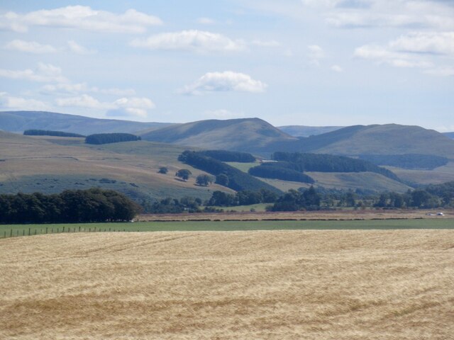
Moor Head is a prominent hill located in the county of Roxburghshire, Scotland. Situated in the southern part of the country, it is part of the stunning Scottish Borders region. With an elevation of 377 meters (1,237 feet), Moor Head offers breathtaking panoramic views of the surrounding countryside.

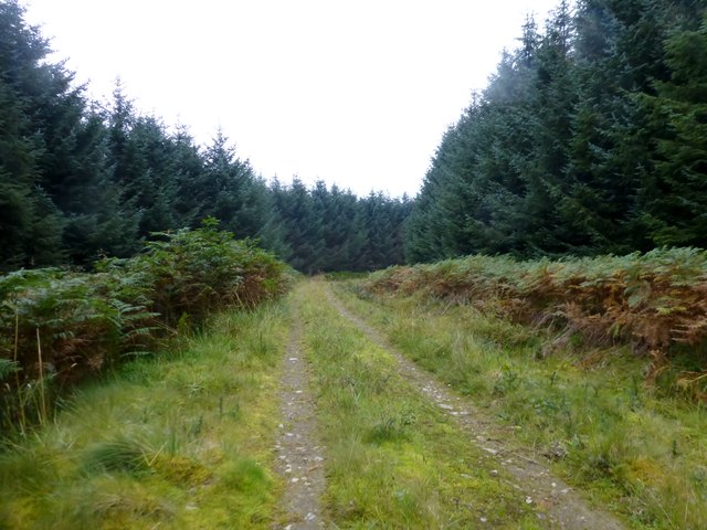
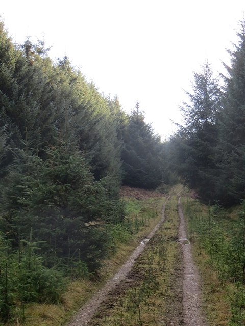
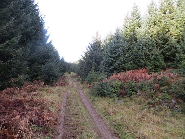
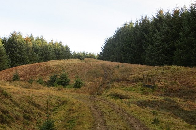
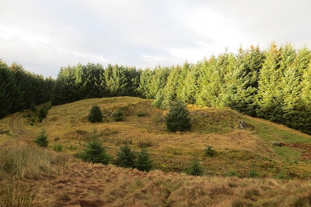
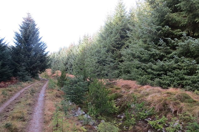
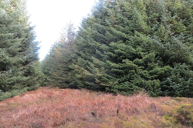
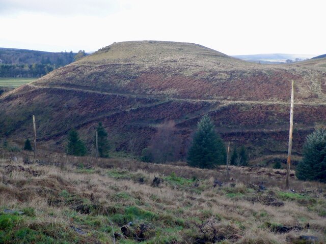
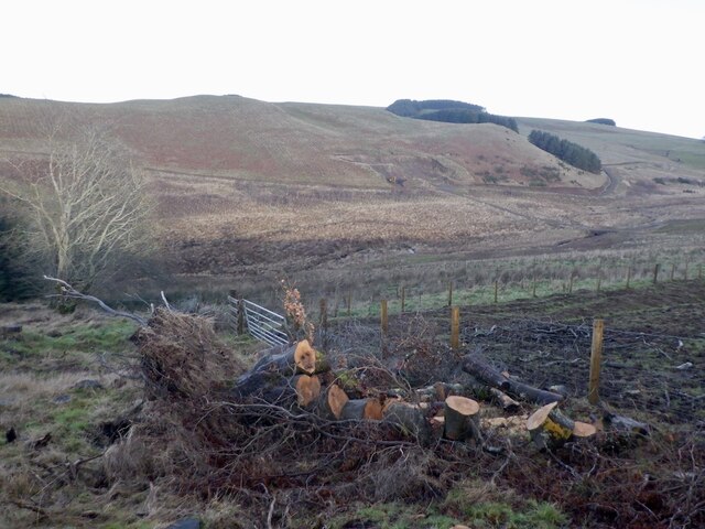
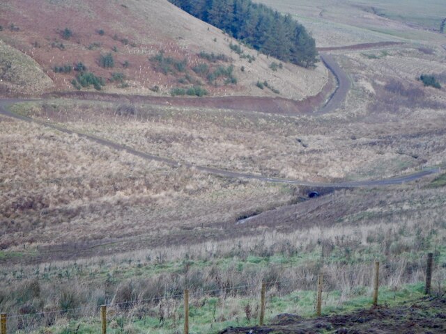
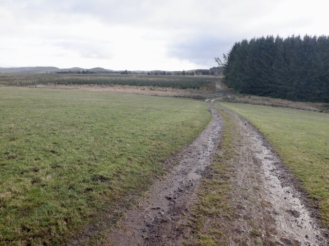
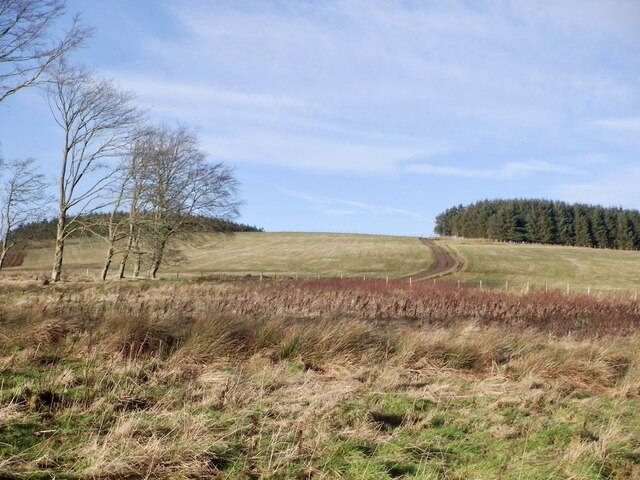
Covered in heather and grass, Moor Head is a popular destination for hikers and nature enthusiasts. The hill provides a relatively easy climb, making it accessible to people of all fitness levels. Its gentle slopes and well-maintained paths make it an ideal spot for a leisurely stroll or a more challenging hike.

At the summit of Moor Head, visitors are rewarded with stunning vistas of rolling hills, meandering rivers, and picturesque valleys. On clear days, it is possible to see as far as the Cheviot Hills and the Northumberland National Park. The view is particularly breathtaking during sunrise and sunset, when the sky is painted with vibrant colors.

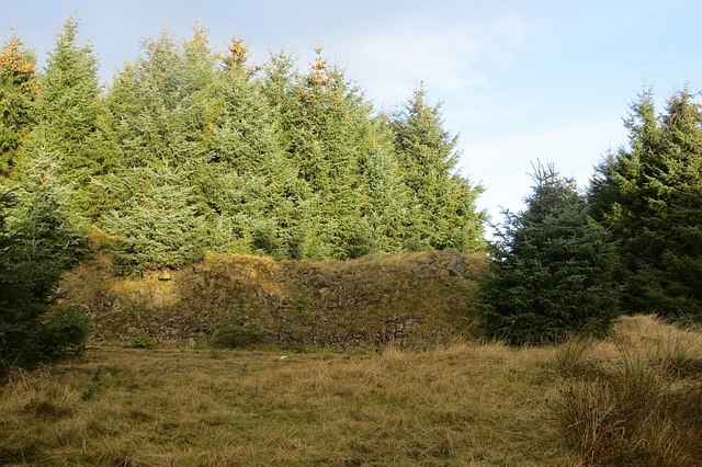
The hill is also home to a diverse range of flora and fauna. Walkers may encounter various bird species, including red grouse and skylarks, as well as sheep and other wildlife that graze on the hillside. The peaceful and tranquil atmosphere of Moor Head provides an excellent opportunity to connect with nature and enjoy the serenity of the Scottish countryside.

Overall, Moor Head in Roxburghshire offers a fantastic outdoor experience with its stunning views, diverse wildlife, and accessible hiking trails. It is a must-visit destination for those seeking natural beauty and a peaceful escape from the hustle and bustle of everyday life.

If you have any feedback on the listing, please let us know in the comments section below.
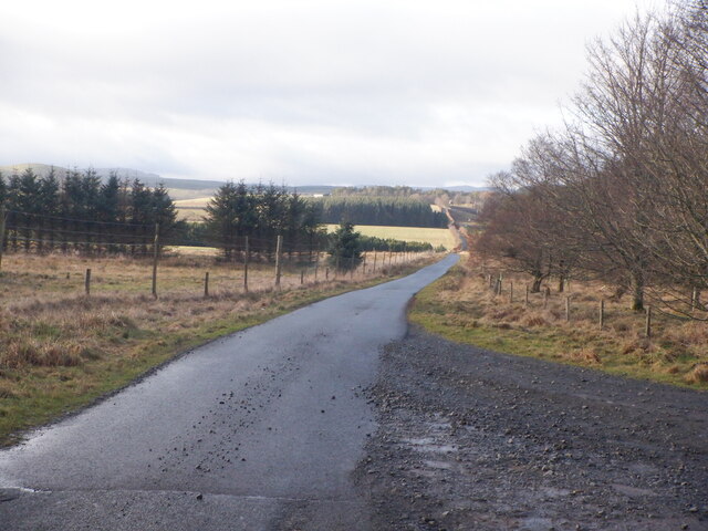
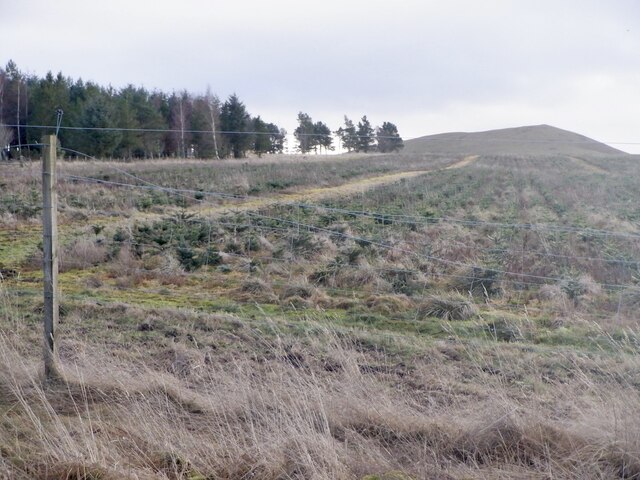
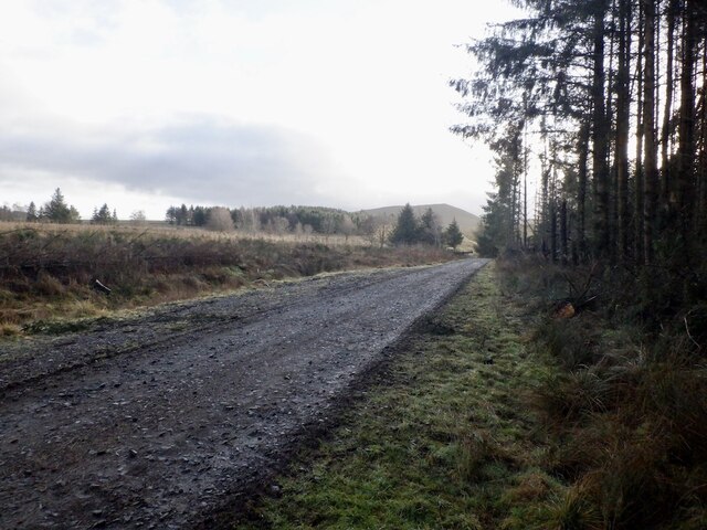
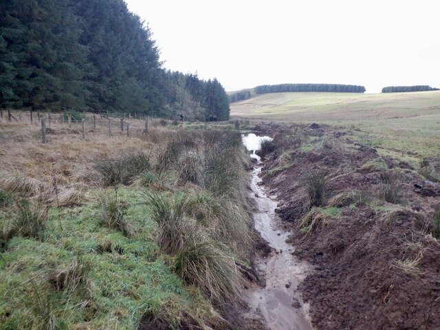
Moor Head Images

Images are sourced within 2km of 55.396064/-2.4445987 or Grid Reference NT7111. Thanks to Geograph Open Source API. All images are credited.

Forestry Track Near Ettles Knowe Forestry track used en route between Fawhope Rig and Philip Law.
Forestry Track Near Ettles Knowe
Forestry track used en route between Fawhope Rig and Philip Law.
Road, Leithope Forest It is used enough to keep the self seeded Sitka at bay. The track is a dead end for vehicles, but you can get through to Fawhope by unpowered means. Hoof prints suggest that the route is open to horses.
Road, Leithope Forest
It is used enough to keep the self seeded Sitka at bay. The track is a dead end for vehicles, but you can get through to Fawhope by unpowered means. Hoof prints suggest that the route is open to horses.
Road, Leithope Forest It is possible to escape the forest at the eastern end of the road by a path over Ephope Law.
Road, Leithope Forest
It is possible to escape the forest at the eastern end of the road by a path over Ephope Law.
Path, Ephope Law A path up a wide ride continues to the forest edge from the road. The path on Ordnance Survey maps no longer exists, but there is still a way through to Fawhope via this ride and open land.
Path, Ephope Law
A path up a wide ride continues to the forest edge from the road. The path on Ordnance Survey maps no longer exists, but there is still a way through to Fawhope via this ride and open land.
Quarry, Ephope Law View from the path out of the forest down to a road stone quarry.
Quarry, Ephope Law
View from the path out of the forest down to a road stone quarry.
Logging road, Leithope Forest The road soon comes to an end around here, but a path leads on out of the forest.
Logging road, Leithope Forest
The road soon comes to an end around here, but a path leads on out of the forest.
Ride, Leithope Forest The remains of a fence from before the time the trees were planted can just be seen.
Ride, Leithope Forest
The remains of a fence from before the time the trees were planted can just be seen.
Quarry, Leithope Forest Andesite was quarried here for road building.
Quarry, Leithope Forest
Andesite was quarried here for road building.
View towards the Cheviots Goshen Hill (r) and Philip Law seen from the Ferniehurst to Chesters road.
View towards the Cheviots
Goshen Hill (r) and Philip Law seen from the Ferniehurst to Chesters road.
Pier Knowe A view revealed by the removal of a conifer plantation.
Pier Knowe
A view revealed by the removal of a conifer plantation.
Pier Burn There has been some recent conifer planting here.
Pier Burn
There has been some recent conifer planting here.
Pier Burn and new road
Road near Brundeanlaws
Christmas trees, Brundeanlaws
Road, Brundeanlaws The road runs through conifer woods and farmland to Stotfield.
Road, Brundeanlaws
The road runs through conifer woods and farmland to Stotfield.
Ditch and forest edge Edge of the conifer plantation at Brundeanlaws.
Ditch and forest edge
Edge of the conifer plantation at Brundeanlaws.
Road off Stotfield Hill
Stotfield Hill Only a few broadleaved trees remain in the mapped square woodland. The road continues over the hill to Stotfield.
Stotfield Hill
Only a few broadleaved trees remain in the mapped square woodland. The road continues over the hill to Stotfield.
Show me another place!

Moor Head is located at Grid Ref: NT7111 (Lat: 55.396064, Lng: -2.4445987)

Unitary Authority: The Scottish Borders

Police Authority: The Lothians and Scottish Borders

What 3 Words

///closet.petition.swoop. Near Jedburgh, Scottish Borders

Nearby Locations

Cell Cleuch Moor Head

Related Wikis

Edgerston

Edgerston is a village and an estate about 4 miles (6.4 km) north of the Anglo-Scottish border, and 8 miles (13 km) south of Jedburgh in the Scottish Borders...

Pennymuir Roman camps

The Pennymuir Roman camps are situated southeast of Jedburgh in the Scottish Borders area of Scotland, near the Anglo-Scottish border, in the former Roxburghshire...

Camptown, Scottish Borders

Camptown is a small settlement on the A68, in the Scottish Borders area of Scotland, 5m (8 km) south of Jedburgh, and the same distance south to Carter...

Raid of the Redeswire

The Raid of the Redeswire, also known as the Redeswire Fray, was a border skirmish between England and Scotland on 7 July 1575 which took place at Carter...

Nearby Amenities

Located within 500m of 55.396064,-2.4445987
Power: pole
Lat/Long: 55.394696/-2.4511357
Power: pole
Lat/Long: 55.3949563/-2.4498405
Power: pole
Lat/Long: 55.3952188/-2.4485607
Power: pole
Lat/Long: 55.3954571/-2.4473557
Power: pole
Lat/Long: 55.395705/-2.446112
Power: pole
Lat/Long: 55.3959478/-2.4448888
Power: pole
Lat/Long: 55.3963528/-2.4440906
Power: pole
Lat/Long: 55.3967959/-2.4432203
Power: pole
Lat/Long: 55.3972287/-2.4423396
Power: pole
Lat/Long: 55.3975241/-2.4417294
Power: pole
Lat/Long: 55.3978926/-2.4409672
Power: pole
Lat/Long: 55.3983327/-2.4400891
Power: pole
Lat/Long: 55.3987963/-2.4391467
The data included in this document is from www.openstreetmap.org. The data is made available under ODbL.

Have you been to Moor Head?

Leave your review of Moor Head below (or comments, questions and feedback).