Cell Cleuch

Valley in Roxburghshire

Scotland

Cell Cleuch

Road, Leithope Forest It is used enough to keep the self seeded Sitka at bay. The track is a dead end for vehicles, but you can get through to Fawhope by unpowered means. Hoof prints suggest that the route is open to horses.
Road, Leithope Forest Credit: Richard Webb

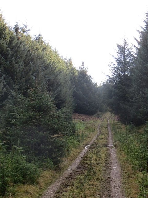
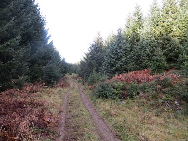
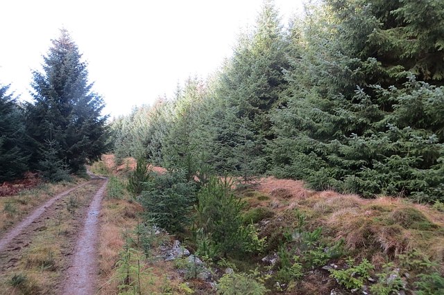
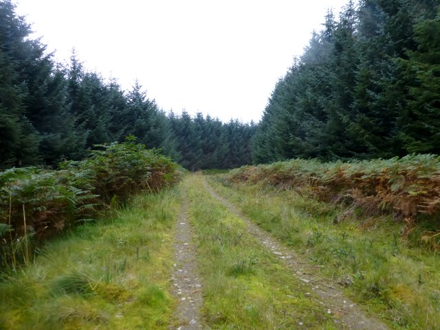
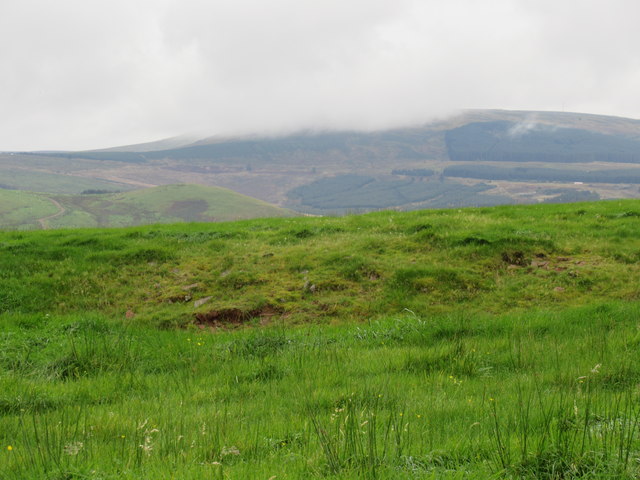
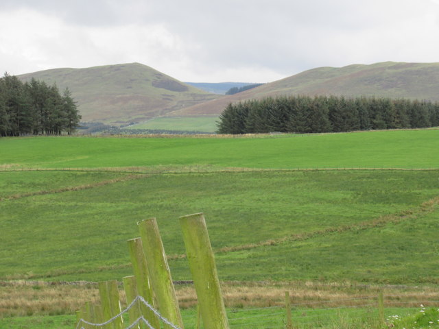
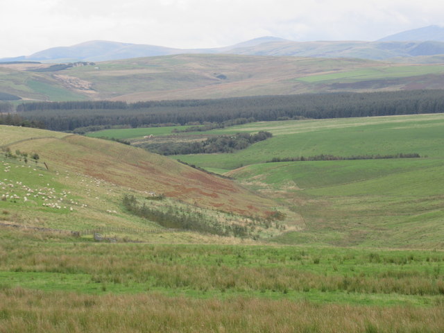
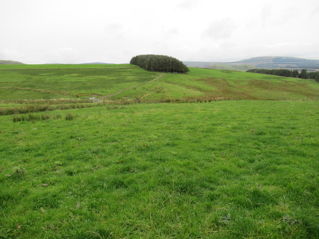
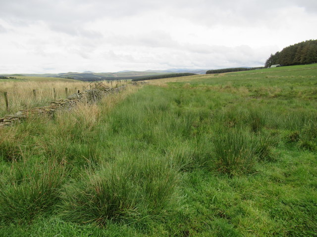
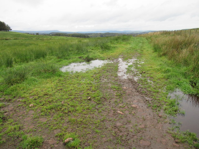
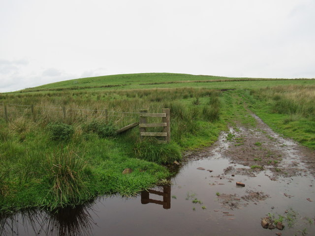
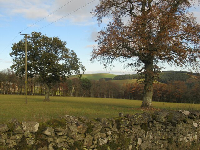
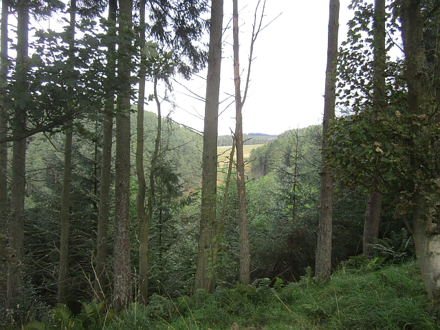
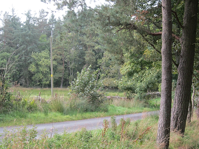
Cell Cleuch is a picturesque valley located in Roxburghshire, Scotland. Situated in the southern part of the country, Cell Cleuch is known for its stunning natural beauty and rich history. The valley is nestled amidst rolling hills and lush greenery, making it a popular destination for nature enthusiasts and hikers.

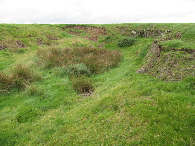
The name "Cell Cleuch" can be traced back to its Celtic origins, with "cleuch" meaning a narrow valley or ravine. The valley is characterized by its steep slopes and a meandering river that flows through it, creating a serene and tranquil atmosphere.

Historically, Cell Cleuch was home to several small farming communities, with remnants of ancient settlements still visible in the area. The valley has also been associated with the legendary Scottish outlaw, William Wallace, who is said to have sought refuge in Cell Cleuch during his rebellions against English rule.

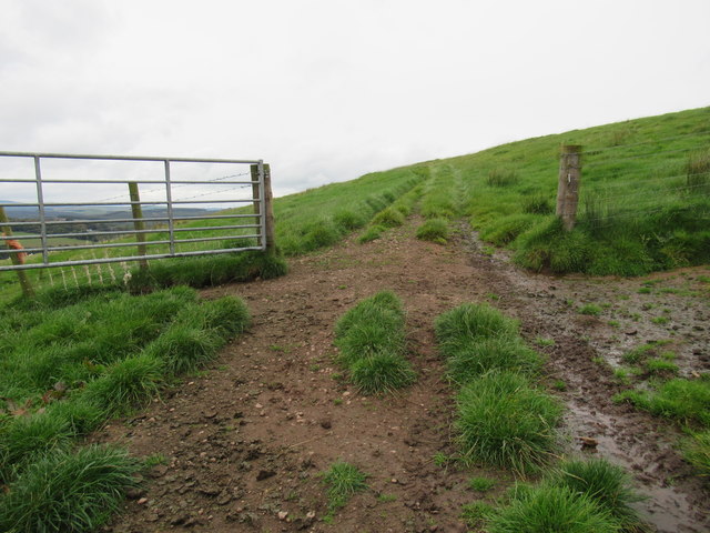
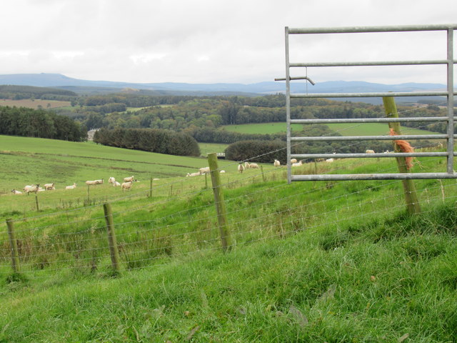
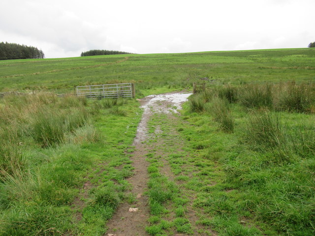
Today, Cell Cleuch offers visitors a chance to experience the unspoiled beauty of the Scottish countryside. The valley is crisscrossed with numerous walking trails, providing opportunities for leisurely strolls or challenging hikes. The diverse flora and fauna found in the area make it a haven for wildlife enthusiasts and birdwatchers.

In addition to its natural attractions, Cell Cleuch is also close to other tourist destinations in Roxburghshire. Nearby, visitors can explore historic castles, quaint villages, and enjoy traditional Scottish hospitality in charming local pubs and inns.

Overall, Cell Cleuch is a hidden gem in Roxburghshire, offering a peaceful retreat for those seeking a connection with nature and a glimpse into Scotland's fascinating past.

If you have any feedback on the listing, please let us know in the comments section below.

Cell Cleuch Images

Images are sourced within 2km of 55.396582/-2.4554038 or Grid Reference NT7111. Thanks to Geograph Open Source API. All images are credited.

Road, Leithope Forest It is used enough to keep the self seeded Sitka at bay. The track is a dead end for vehicles, but you can get through to Fawhope by unpowered means. Hoof prints suggest that the route is open to horses.
Road, Leithope Forest
It is used enough to keep the self seeded Sitka at bay. The track is a dead end for vehicles, but you can get through to Fawhope by unpowered means. Hoof prints suggest that the route is open to horses.
Road, Leithope Forest It is possible to escape the forest at the eastern end of the road by a path over Ephope Law.
Road, Leithope Forest
It is possible to escape the forest at the eastern end of the road by a path over Ephope Law.
Logging road, Leithope Forest The road soon comes to an end around here, but a path leads on out of the forest.
Logging road, Leithope Forest
The road soon comes to an end around here, but a path leads on out of the forest.
Forestry Track Near Ettles Knowe Forestry track used en route between Fawhope Rig and Philip Law.
Forestry Track Near Ettles Knowe
Forestry track used en route between Fawhope Rig and Philip Law.
Dod Hill summit in the Scottish Borders Carter Bar in the background with an HGV at nine seven in photo contouring its way to Jedburgh.
Dod Hill summit in the Scottish Borders
Carter Bar in the background with an HGV at nine seven in photo contouring its way to Jedburgh.
View south off Dod Hill near Edgerston in the Scottish Borders
View east off Dod Hill near Edgerston in the Scottish Borders
Wee quarry on Dod Hill near Edgerston in the Scottish Borders I suspect this has played its part providing hard tracks on very sloppy hill fields.
Wee quarry on Dod Hill near Edgerston in the Scottish Borders
I suspect this has played its part providing hard tracks on very sloppy hill fields.
Open gateway in new fenceline on Dod Hill
View south-west from slopes of Dod Hill in the Scottish Borders
Shelter belt on Stotfield Hill near Edgerston in the Scottish Borders
Gate for hard track on Dod Hill near Edgerston
The boggy saddle whence flows the Stotfield Burn Aided and abetted by many a ditch and drain!
The boggy saddle whence flows the Stotfield Burn
Aided and abetted by many a ditch and drain!
Hard track on boggy saddle above Edgerston in the Scottish Borders
Dod Hill above Edgerston in the Scottish Borders
Dod Hill near Jethart in The Scottish Borders
Woodland, Pier Burn The Pier Burn runs between steep slopes which are wooded.
Woodland, Pier Burn
The Pier Burn runs between steep slopes which are wooded.
Lane, Edgerston A "yellow" road running high above the Pier Burn.
Lane, Edgerston
A "yellow" road running high above the Pier Burn.
Show me another place!

Cell Cleuch is located at Grid Ref: NT7111 (Lat: 55.396582, Lng: -2.4554038)

Unitary Authority: The Scottish Borders

Police Authority: The Lothians and Scottish Borders

What 3 Words

///worthy.thrones.cubes. Near Jedburgh, Scottish Borders

Nearby Locations

Moor Head Cell Cleuch

Related Wikis

Edgerston

Edgerston is a village and an estate about 4 miles (6.4 km) north of the Anglo-Scottish border, and 8 miles (13 km) south of Jedburgh in the Scottish Borders...

Camptown, Scottish Borders

Camptown is a small settlement on the A68, in the Scottish Borders area of Scotland, 5m (8 km) south of Jedburgh, and the same distance south to Carter...

Scottish Borders

The Scottish Borders (Scots: the Mairches, lit. 'the Marches'; Scottish Gaelic: Crìochan na h-Alba) is one of 32 council areas of Scotland. It is bordered...

Raid of the Redeswire

The Raid of the Redeswire, also known as the Redeswire Fray, was a border skirmish between England and Scotland on 7 July 1575 which took place at Carter...

Pennymuir Roman camps

The Pennymuir Roman camps are situated southeast of Jedburgh in the Scottish Borders area of Scotland, near the Anglo-Scottish border, in the former Roxburghshire...

Carter Bar

Carter Bar is a pass in the Cheviot Hills, on the Anglo-Scottish border. It lies east of Carter Fell at the head of Redesdale, and is crossed by the A68...

Oxnam

Oxnam (Scots: Owsenam) is a village near Jedburgh, in Roxburghshire in the Scottish Borders area of Scotland. It is a primarily residential village. The...

Bairnkine

Bairnkine is a hamlet on the Jed Water in the Scottish Borders area of Scotland, on the A68, south of Jedburgh. Other places nearby include Abbotrule,...

Nearby Amenities

Located within 500m of 55.396582,-2.4554038
Power: pole
Lat/Long: 55.3930581/-2.4592301
Power: pole
Lat/Long: 55.3932672/-2.4581641
Power: pole
Lat/Long: 55.3934983/-2.4570878
Power: pole
Lat/Long: 55.3937162/-2.4559728
Power: pole
Lat/Long: 55.3939385/-2.4548733
Power: pole
Lat/Long: 55.3942017/-2.4537068
Power: pole
Lat/Long: 55.3944269/-2.4524618
Power: pole
Lat/Long: 55.394696/-2.4511357
Power: pole
Lat/Long: 55.3949563/-2.4498405
Power: pole
Lat/Long: 55.3952188/-2.4485607
Power: pole
Lat/Long: 55.393333/-2.4544973
Power: pole
Lat/Long: 55.3927129/-2.4541446
The data included in this document is from www.openstreetmap.org. The data is made available under ODbL.

Have you been to Cell Cleuch?

Leave your review of Cell Cleuch below (or comments, questions and feedback).