Temple Hillock

Hill, Mountain in Kincardineshire

Scotland

Temple Hillock

Glen of Dumtochty Woodland in this mostly forested glen.
Glen of Dumtochty Credit: Richard Webb

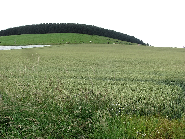
Temple Hillock, located in Kincardineshire, Scotland, is a prominent hill/mountain that stands at an elevation of approximately 372 meters (1,220 feet). It is situated in the eastern part of the region, near the village of Auchenblae. The hill is primarily composed of granite and forms part of the scenic landscape of the area.

Temple Hillock offers breathtaking panoramic views of the surrounding countryside, including the Mearns Valley and the North Sea coastline. Its commanding position makes it a popular destination for hikers, nature enthusiasts, and those seeking to immerse themselves in the natural beauty of the region. The hill is accessible via a well-maintained footpath, making it an ideal location for outdoor activities such as hillwalking and picnicking.

The name "Temple Hillock" is believed to originate from the presence of a Knights Templar preceptory that was once located nearby. The Knights Templar were a medieval Christian military order, and their presence in the area adds historical significance to the hill.

Flora and fauna are abundant on Temple Hillock, with various species of plants and animals calling the hill their home. The hill provides a habitat for a diverse range of bird species, including raptors such as buzzards and kestrels. Additionally, the surrounding woodlands are home to a variety of mammals, including deer and foxes.

Overall, Temple Hillock in Kincardineshire is a stunning natural landmark that combines historical significance with breathtaking views and diverse wildlife, making it a cherished destination for both locals and visitors alike.

If you have any feedback on the listing, please let us know in the comments section below.

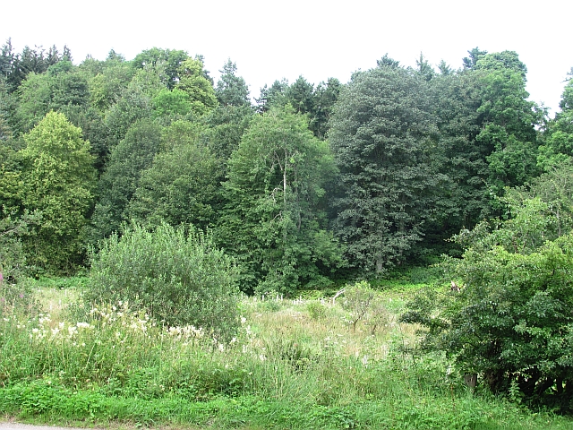
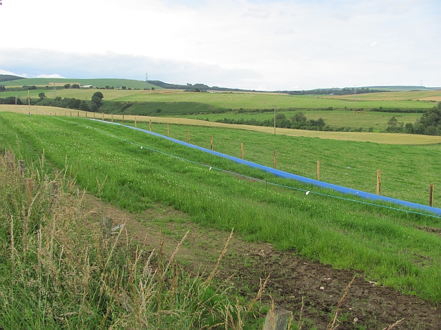
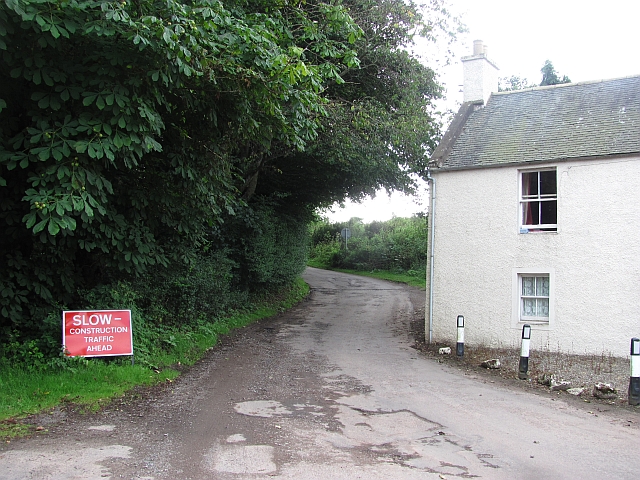
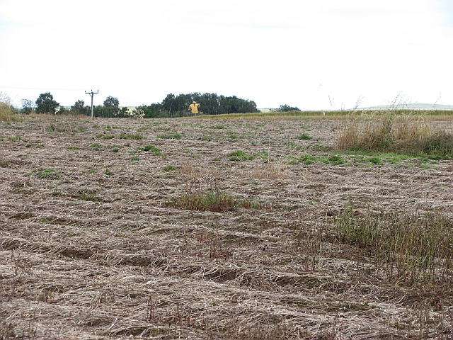
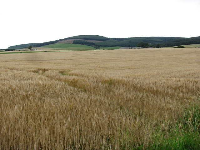
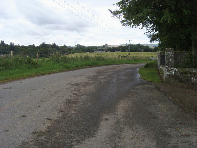
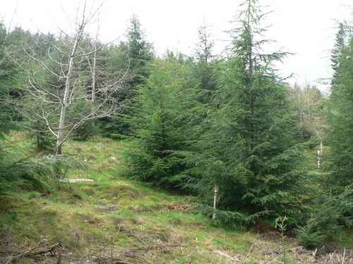
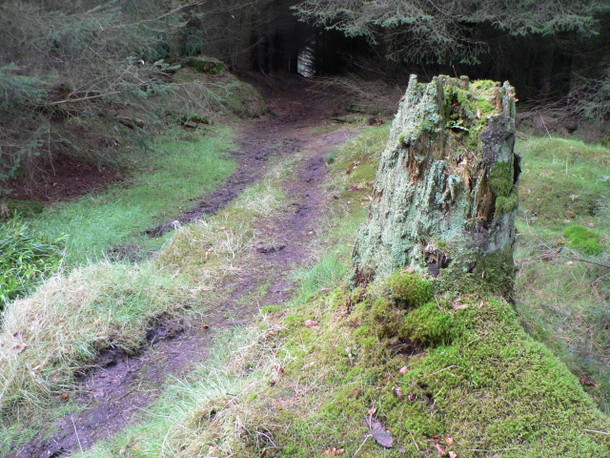
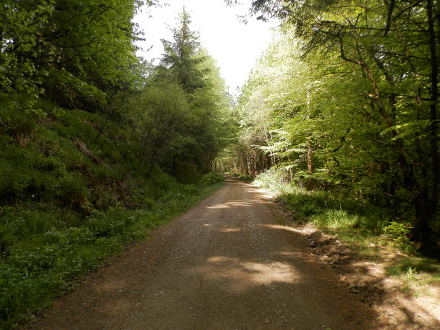
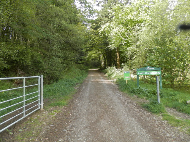
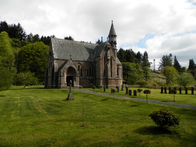
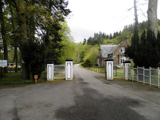
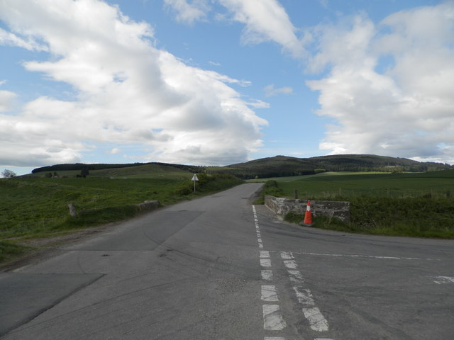
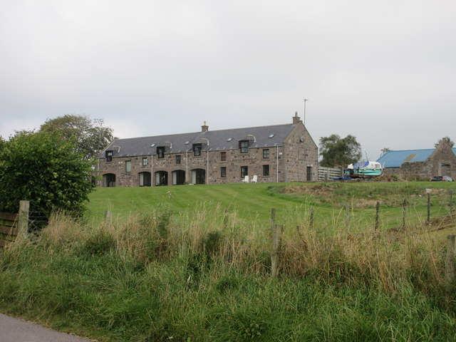
Temple Hillock Images

Images are sourced within 2km of 56.897408/-2.463222 or Grid Reference NO7178. Thanks to Geograph Open Source API. All images are credited.

Glen of Dumtochty Woodland in this mostly forested glen.
Glen of Dumtochty
Woodland in this mostly forested glen.
Field by Auchenblae A new pipeline is being laid beside the road here.
Field by Auchenblae
A new pipeline is being laid beside the road here.
Road into Auchenblae Warning of pipeline construction traffic.
Road into Auchenblae
Warning of pipeline construction traffic.
Wheat field by Auchenblae Nearby they are ploughing this year's stubble but this field has yet to turn from green.
Wheat field by Auchenblae
Nearby they are ploughing this year's stubble but this field has yet to turn from green.
Field by Auchenblae Field with a scarecrow.
Field by Auchenblae
Field with a scarecrow.
Barley, Strathfinella Hill Barley fields on the lower slopes of Strathfinella Hills. Much of Kincardineshire is covered in quality arable land.
Barley, Strathfinella Hill
Barley fields on the lower slopes of Strathfinella Hills. Much of Kincardineshire is covered in quality arable land.
Looking to Auchenblae church From the cemetery looking to Auchenblae church
Looking to Auchenblae church
From the cemetery looking to Auchenblae church
Ready for uplift There has been a lot of tree felling in Garrold Wood recently.  Trees have been brashed & stacked at the side of the forestry tracks ready for uplift.
Ready for uplift
There has been a lot of tree felling in Garrold Wood recently. Trees have been brashed & stacked at the side of the forestry tracks ready for uplift.
Lost in the pines A lonely birch tree in a forest of pines.
Lost in the pines
A lonely birch tree in a forest of pines.
Two for the price of 1 A hardwood tree that appears to be growing out of the trunk of a pine tree in Garrold Wood
Two for the price of 1
A hardwood tree that appears to be growing out of the trunk of a pine tree in Garrold Wood
Road Block This forestry road does not appear to be on the map, it comes to an abrupt end in a large turning circle about 100m beyond this fallen tree.  Time to turn round and try another route to the summit.
Road Block
This forestry road does not appear to be on the map, it comes to an abrupt end in a large turning circle about 100m beyond this fallen tree. Time to turn round and try another route to the summit.
A weathered stump A moss covered tree stump left to rot & provide a home for insects at the side of the track back to the road in Drumtochty Glen.
A weathered stump
A moss covered tree stump left to rot & provide a home for insects at the side of the track back to the road in Drumtochty Glen.
Forest road in Glen of Drumtochty
Entrance to South Drumtochty Forest
St Palladius Church, Drumtochty
Castle gates at Drumtochty
Burnmouth Brig over Burnie Shag
Glenfarquhar House Converted steadings at Glenfarquhar, viewed from the road to the south.
Glenfarquhar House
Converted steadings at Glenfarquhar, viewed from the road to the south.
Show me another place!

Temple Hillock is located at Grid Ref: NO7178 (Lat: 56.897408, Lng: -2.463222)

Unitary Authority: Aberdeenshire

Police Authority: North East

What 3 Words

///village.ferrets.detriment. Near Laurencekirk, Aberdeenshire

Related Wikis

Fordoun Stone

The Fordoun Stone is a class II Pictish cross slab in Fordoun parish church, Auchenblae, Aberdeenshire, Scotland. == Description == A slab of Old Red Sandstone...

Auchinblae distillery

Auchenblae distillery was a scotch whisky distillery in Auchenblae, Kincardine, Aberdeenshire, Scotland. == History == The distillery was created in 1895...

Auchenblae

Auchenblae (, Scottish Gaelic: Achadh nam Blàth) is a village in the Kincardine and Mearns area of Aberdeenshire, formerly in Kincardineshire, Scotland...

Drumtochty Castle

Drumtochty Castle is a neo-gothic style castellated mansion erected in 1812 approximately three kilometres north-west of Auchenblae, Kincardineshire, Scotland...

Nearby Amenities

Located within 500m of 56.897408,-2.463222
Power: pole
Lat/Long: 56.9016691/-2.4635254
Power: pole
Lat/Long: 56.9012549/-2.4644814
Power: pole
Lat/Long: 56.9015092/-2.4652688
Power: pole
Lat/Long: 56.9005851/-2.4640001
Power: pole
Lat/Long: 56.8999613/-2.463541
The data included in this document is from www.openstreetmap.org. The data is made available under ODbL.

Have you been to Temple Hillock?

Leave your review of Temple Hillock below (or comments, questions and feedback).