Fordoun Hill

Hill, Mountain in Kincardineshire

Scotland

Fordoun Hill

Glen of Dumtochty Woodland in this mostly forested glen.
Glen of Dumtochty Credit: Richard Webb

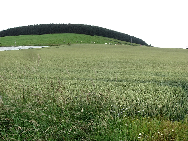
Fordoun Hill is a prominent landmark located in Kincardineshire, Scotland. Standing at an elevation of approximately 285 meters (935 feet), it is classified as a hill rather than a mountain. It is situated near the village of Fordoun, about 30 kilometers (18.6 miles) south of Aberdeen.

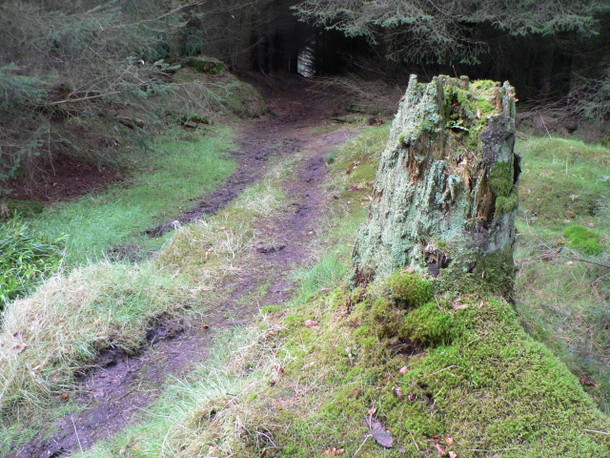
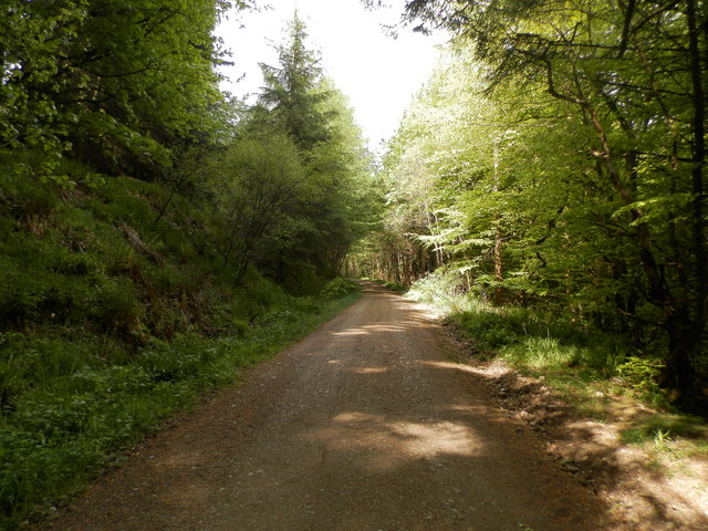
The hill is characterized by its gently sloping sides and a distinct summit, offering panoramic views of the surrounding countryside. It is primarily composed of granite, a common geological feature in this region. The hill is covered in lush vegetation, with heather, grasses, and scattered trees adorning its slopes.

Fordoun Hill holds historical significance as it is believed to have been a site of human activity for thousands of years. Archaeological evidence suggests that the hill was used as a burial ground during the Bronze Age, with the remains of ancient cairns and burial mounds still visible today.

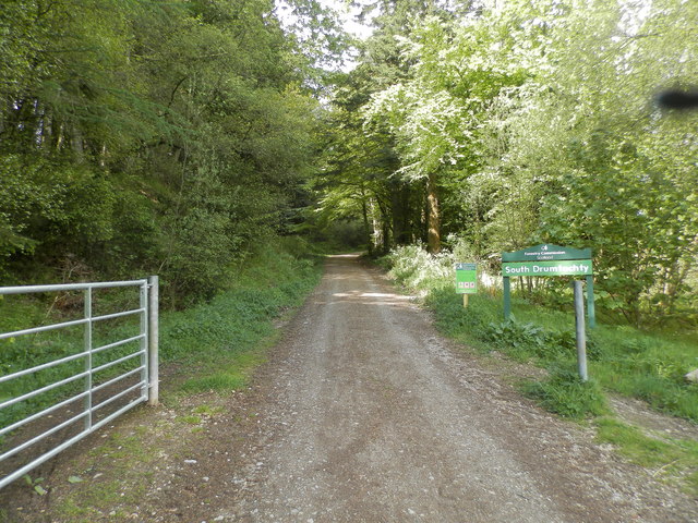
In addition to its historical significance, Fordoun Hill is also a popular destination for outdoor enthusiasts. It offers a range of recreational activities, such as hiking and nature walks, with well-maintained trails leading to the summit. The hill provides a peaceful and tranquil setting, attracting visitors who seek a respite from the hustle and bustle of urban life.

Overall, Fordoun Hill is a picturesque landmark that combines natural beauty, historical significance, and recreational opportunities. It serves as a cherished part of the Kincardineshire landscape and continues to captivate locals and tourists alike.

If you have any feedback on the listing, please let us know in the comments section below.
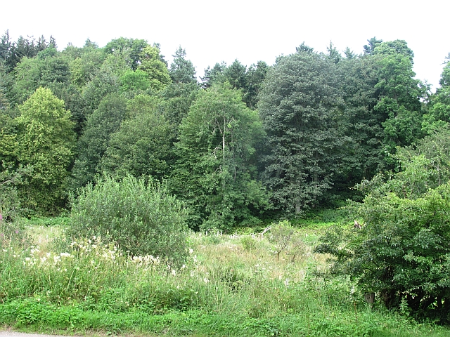
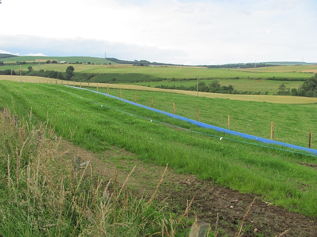
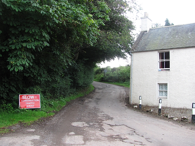
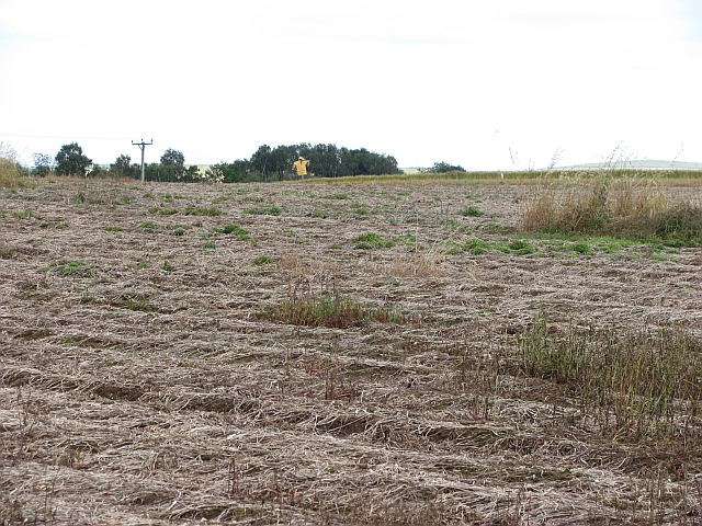
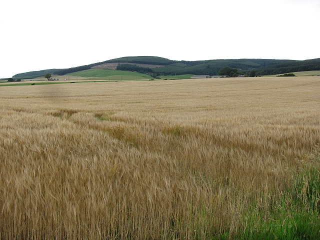
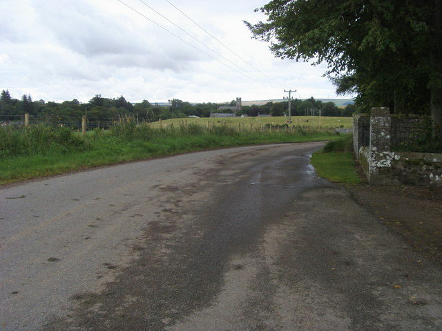
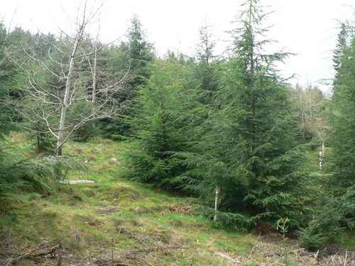
Fordoun Hill Images

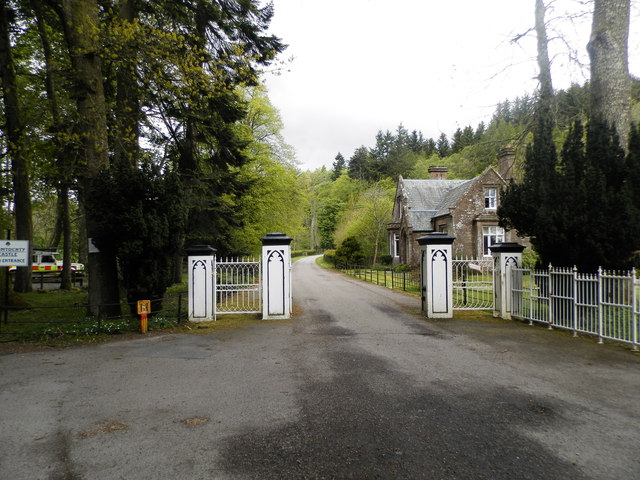
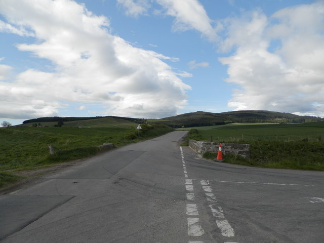
Images are sourced within 2km of 56.895909/-2.4651898 or Grid Reference NO7178. Thanks to Geograph Open Source API. All images are credited.

Glen of Dumtochty Woodland in this mostly forested glen.
Glen of Dumtochty
Woodland in this mostly forested glen.
Field by Auchenblae A new pipeline is being laid beside the road here.
Field by Auchenblae
A new pipeline is being laid beside the road here.
Road into Auchenblae Warning of pipeline construction traffic.
Road into Auchenblae
Warning of pipeline construction traffic.
Wheat field by Auchenblae Nearby they are ploughing this year's stubble but this field has yet to turn from green.
Wheat field by Auchenblae
Nearby they are ploughing this year's stubble but this field has yet to turn from green.
Field by Auchenblae Field with a scarecrow.
Field by Auchenblae
Field with a scarecrow.
Barley, Strathfinella Hill Barley fields on the lower slopes of Strathfinella Hills. Much of Kincardineshire is covered in quality arable land.
Barley, Strathfinella Hill
Barley fields on the lower slopes of Strathfinella Hills. Much of Kincardineshire is covered in quality arable land.
Scarecrows A vegetable field protected by a couple of modern scarecrows: a twirly thing with big painted eyes and a kite looking like a raptor.
Scarecrows
A vegetable field protected by a couple of modern scarecrows: a twirly thing with big painted eyes and a kite looking like a raptor.
Looking to Auchenblae church From the cemetery looking to Auchenblae church
Looking to Auchenblae church
From the cemetery looking to Auchenblae church
Ready for uplift There has been a lot of tree felling in Garrold Wood recently.  Trees have been brashed & stacked at the side of the forestry tracks ready for uplift.
Ready for uplift
There has been a lot of tree felling in Garrold Wood recently. Trees have been brashed & stacked at the side of the forestry tracks ready for uplift.
Lost in the pines A lonely birch tree in a forest of pines.
Lost in the pines
A lonely birch tree in a forest of pines.
Two for the price of 1 A hardwood tree that appears to be growing out of the trunk of a pine tree in Garrold Wood
Two for the price of 1
A hardwood tree that appears to be growing out of the trunk of a pine tree in Garrold Wood
Road Block This forestry road does not appear to be on the map, it comes to an abrupt end in a large turning circle about 100m beyond this fallen tree.  Time to turn round and try another route to the summit.
Road Block
This forestry road does not appear to be on the map, it comes to an abrupt end in a large turning circle about 100m beyond this fallen tree. Time to turn round and try another route to the summit.
A weathered stump A moss covered tree stump left to rot & provide a home for insects at the side of the track back to the road in Drumtochty Glen.
A weathered stump
A moss covered tree stump left to rot & provide a home for insects at the side of the track back to the road in Drumtochty Glen.
Forest road in Glen of Drumtochty
Entrance to South Drumtochty Forest
St Palladius Church, Drumtochty
Castle gates at Drumtochty
Burnmouth Brig over Burnie Shag
Show me another place!

Fordoun Hill is located at Grid Ref: NO7178 (Lat: 56.895909, Lng: -2.4651898)

Unitary Authority: Aberdeenshire

Police Authority: North East

What 3 Words

///contracts.dramatic.doghouse. Near Laurencekirk, Aberdeenshire

Related Wikis

Auchenblae

Auchenblae (, Scottish Gaelic: Achadh nam Blàth) is a village in the Kincardine and Mearns area of Aberdeenshire, formerly in Kincardineshire, Scotland...

Fordoun Stone

The Fordoun Stone is a class II Pictish cross slab in Fordoun parish church, Auchenblae, Aberdeenshire, Scotland. == Description == A slab of Old Red Sandstone...

Auchinblae distillery

Auchenblae distillery was a scotch whisky distillery in Auchenblae, Kincardine, Aberdeenshire, Scotland. == History == The distillery was created in 1895...

Drumtochty Castle

Drumtochty Castle is a neo-gothic style castellated mansion erected in 1812 approximately three kilometres north-west of Auchenblae, Kincardineshire, Scotland...

Nearby Amenities

Located within 500m of 56.895909,-2.4651898
Power: pole
Lat/Long: 56.8999613/-2.463541
The data included in this document is from www.openstreetmap.org. The data is made available under ODbL.

Have you been to Fordoun Hill?

Leave your review of Fordoun Hill below (or comments, questions and feedback).