Berry Hill

Hill, Mountain in Kincardineshire

Scotland

Berry Hill

A waterfall in the forest Found this while out geocaching and I think only geocachers will have seen it
A waterfall in the forest Credit: Ralph Greig

Berry Hill is a prominent hill located in the county of Kincardineshire, Scotland. Situated in the eastern part of the county, it offers stunning panoramic views of the surrounding landscape. With an elevation of approximately 426 meters (1,398 feet), Berry Hill stands as a prominent feature in the area.

The hill is characterized by its gentle slopes, making it accessible to both experienced hikers and casual walkers. Its verdant landscape is adorned with a variety of plant species, including heather, grasses, and shrubs, which create a picturesque setting throughout the year.

At the summit of Berry Hill, visitors are rewarded with breathtaking vistas of the North Sea to the east and the rolling hills and valleys to the west. On clear days, it is even possible to spot landmarks such as Dunnottar Castle and the iconic Fowlsheugh Nature Reserve from this vantage point.

The hill is a popular destination for outdoor enthusiasts, offering opportunities for walking, hiking, and nature photography. It is also frequented by birdwatchers, as the area is home to a diverse range of bird species, including peregrine falcons and buzzards.

Access to Berry Hill is convenient, with various footpaths and trails leading to its summit. Parking facilities and information boards are available at the base of the hill, providing visitors with guidance and details on the local flora and fauna.

Overall, Berry Hill is a must-visit destination for those seeking to immerse themselves in the natural beauty and tranquility of Kincardineshire.

If you have any feedback on the listing, please let us know in the comments section below.
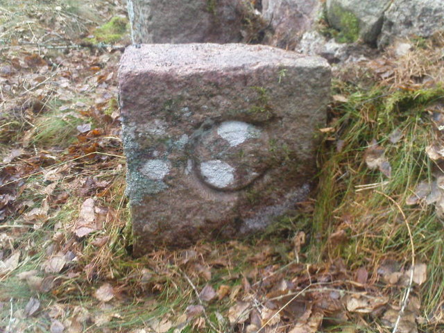
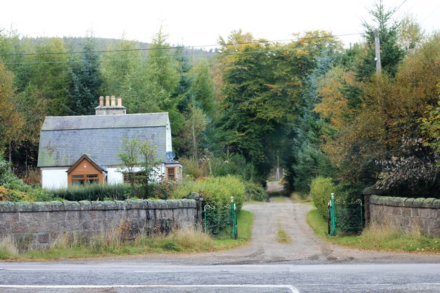
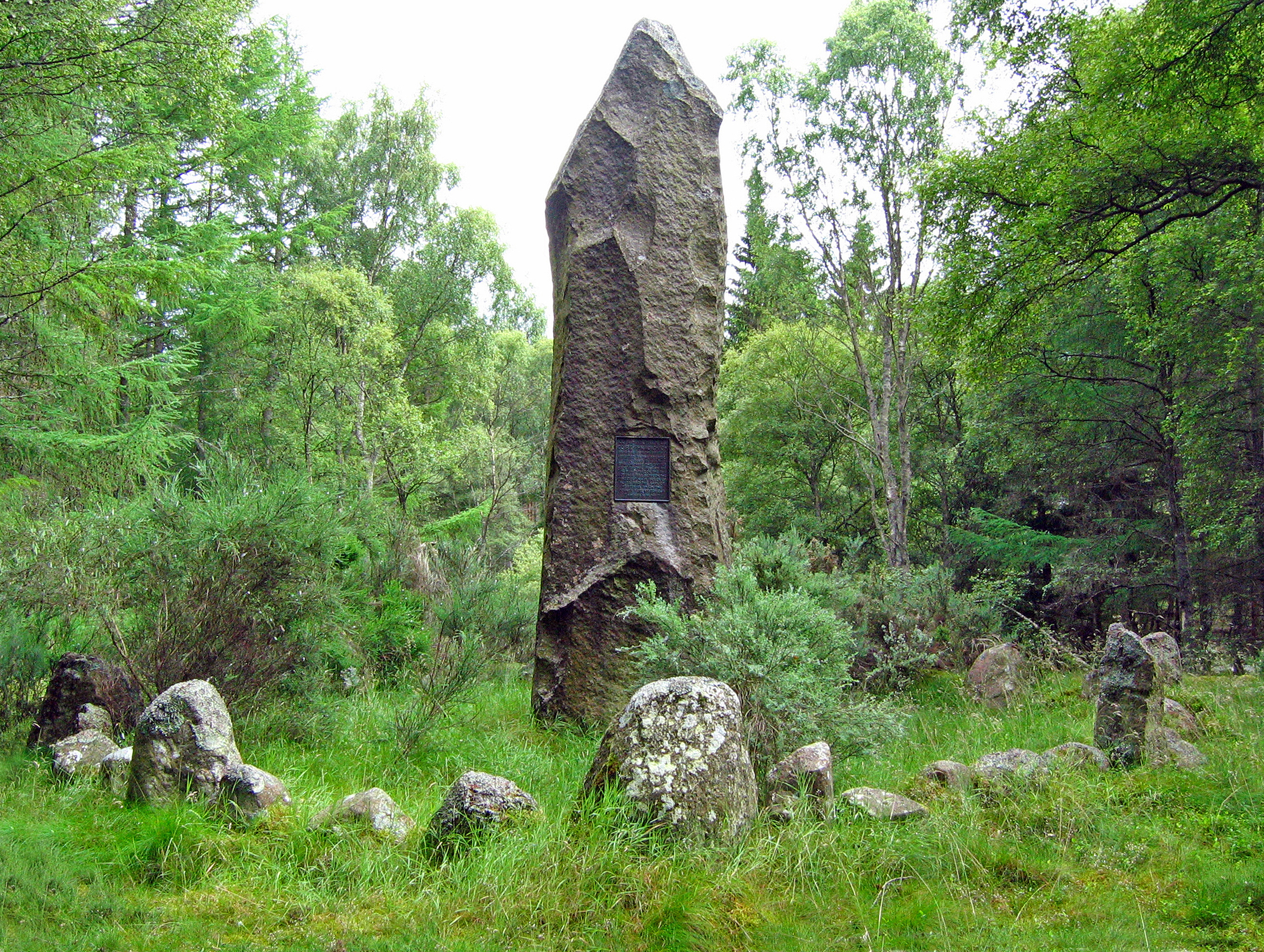
Berry Hill Images

Images are sourced within 2km of 57.103045/-2.4680966 or Grid Reference NJ7101. Thanks to Geograph Open Source API. All images are credited.

A waterfall in the forest Found this while out geocaching and I think only geocachers will have seen it
A waterfall in the forest
Found this while out geocaching and I think only geocachers will have seen it
Battle of Corrichie A roughly cut granite menhir with an inscription cut in relief. The Gaelic inscription reads: "Cuimhnichibh La Coire Fraoichidh" or "Remember the day of Corrichie". The battlefield is now mainly covered by commercial forest. Related Information: The Site of the Battle of Corrichie, in 1562, between the forces of Mary, Queen of Scots, and those of the Earl of Huntly, is at NJ 697 024, the latter were defeated. A stone was erected at NJ 7325 0140 by Deeside Field Club in 1951 to commemorate the battle.
Battle of Corrichie
A roughly cut granite menhir with an inscription cut in relief. The Gaelic inscription reads: "Cuimhnichibh La Coire Fraoichidh" or "Remember the day of Corrichie". The battlefield is now mainly covered by commercial forest. Related Information: The Site of the Battle of Corrichie, in 1562, between the forces of Mary, Queen of Scots, and those of the Earl of Huntly, is at NJ 697 024, the latter were defeated. A stone was erected at NJ 7325 0140 by Deeside Field Club in 1951 to commemorate the battle.
History revealed (2011) The Deeside Field Club memorial to the battle of Corrichie Burn is again visible from the A977, thanks to recent clear felling of the trees around the site.
History revealed (2011)
The Deeside Field Club memorial to the battle of Corrichie Burn is again visible from the A977, thanks to recent clear felling of the trees around the site.
Battle of Corrichie Burn Memorial Recently exposed to plain view from the main road (B977), by a spell of clear felling in Wickerinn Plantation.
Battle of Corrichie Burn Memorial
Recently exposed to plain view from the main road (B977), by a spell of clear felling in Wickerinn Plantation.
Boundary Stones Boundary Stones on corner of stone wall
Boundary Stones
Boundary Stones on corner of stone wall
Boundary Stones C for Cullerlie
Boundary Stones
C for Cullerlie
The access to Wickerinn (2013) The open frontage onto the A977 has recently been altered; cf <a href="https://www.geograph.org.uk/photo/296925">NJ7301 : The converted steading by Wickerinn</a> of 2006.
The access to Wickerinn (2013)
The open frontage onto the A977 has recently been altered; cf NJ7301 : The converted steading by Wickerinn of 2006.
Access to Craigton (March) Across B977, from near Hattonburn (off right).
Access to Craigton (March)
Across B977, from near Hattonburn (off right).
Hattonburn farmstead and access track From minor road to Craigton (B977).
Hattonburn farmstead and access track
From minor road to Craigton (B977).
Wide field gates Off minor road near Hattonburn; 6-bat steel gates.
Wide field gates
Off minor road near Hattonburn; 6-bat steel gates.
A gate and stone-wall field boundary On minor road south of Hattonburn.
A gate and stone-wall field boundary
On minor road south of Hattonburn.
Deeside Field Club memorial Commemorating the Battle of Corrichie Burn; in Duthac's Wood by B977.
Deeside Field Club memorial
Commemorating the Battle of Corrichie Burn; in Duthac's Wood by B977.
B9125 through Kilduthie Wood Partially felled on right, exposing the granite battle monument to view from the road..
B9125 through Kilduthie Wood
Partially felled on right, exposing the granite battle monument to view from the road..
A stand of young pines near Corrachie battle monument Remaining just west of the monument following a bout of near-clear felling there a few years ago.
A stand of young pines near Corrachie battle monument
Remaining just west of the monument following a bout of near-clear felling there a few years ago.
Kilduthie Field A field by Kilduthie with a pheasant foraging and stands of Willow, grown for biomass, behind.
Kilduthie Field
A field by Kilduthie with a pheasant foraging and stands of Willow, grown for biomass, behind.
Birk Lodge The Lodge and path up the Hill of fare from the Kilduthie road end.
Birk Lodge
The Lodge and path up the Hill of fare from the Kilduthie road end.
North Hirn The farmyard of North Hirn with its barn and steading.
North Hirn
The farmyard of North Hirn with its barn and steading.
South Hirn The rear ,working, side of South Hirm steading.
South Hirn
The rear ,working, side of South Hirm steading.
Show me another place!

Berry Hill is located at Grid Ref: NJ7101 (Lat: 57.103045, Lng: -2.4680966)

Unitary Authority: Aberdeenshire

Police Authority: North East

What 3 Words

///business.inversion.dubbing. Near Banchory, Aberdeenshire

Related Wikis

Battle of Corrichie

The Battle of Corrichie was fought on the slopes of the Hill of Fare in Aberdeenshire, Scotland, on 28 October 1562. It was fought between the forces of...

Raemoir House

Raemoir House is a Category B listed Georgian mansion house located in Banchory, Aberdeenshire, Scotland. Its origins date back to the Ha'Hoose (Hall House...

Cluny Crichton Castle

Cluny Crichton Castle (also known as Clounie Crighton Castle) is a ruined 3-story tower house on the southern slopes of the Hill of Fare in Aberdeenshire...

Midmar Castle

Midmar Castle is a 16th-century castle in Aberdeenshire, Scotland, located 12 kilometres (7.5 mi) west of Westhill and 3.5 kilometres (2.2 mi) west of...

Nearby Amenities

Located within 500m of 57.103045,-2.4680966
Berry Hill
Ele: 233
Natural: peak
Lat/Long: 57.1026936/-2.4668626
Ford: yes
Lat/Long: 57.105809/-2.4708179
The data included in this document is from www.openstreetmap.org. The data is made available under ODbL.

Have you been to Berry Hill?

Leave your review of Berry Hill below (or comments, questions and feedback).